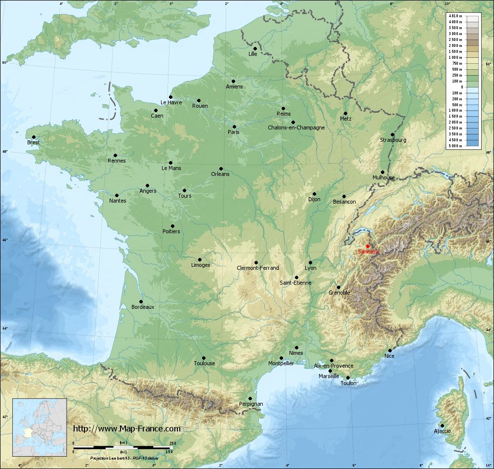
Samoëns on the relief France map in Lambert 93 coordinates
|
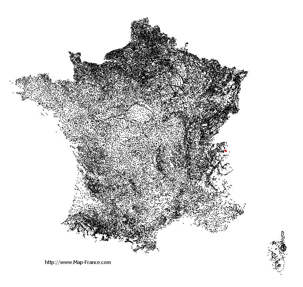
See the map of Samoëns in full screen (1000 x 949)
|
At left, here is the location of Samoëns on the relief France map in Lambert 93 coordinates.
Here are the altitudes of Samoëns :
- Town hall altitude of Samoëns is 710 meters
- Minimum altitude of Samoëns is 671 meters
- Maximum altitude of Samoëns is 2 665 meters
- Medium altitude of Samoëns is 1 668 meters
Here are the altitudes of Annecy, prefecture of Haute-Savoie department:
- Town hall altitude of Annecy is 453 meters
- Minimum altitude of Annecy is 418 meters
- Maximum altitude of Annecy is 926 meters
- Medium altitude of Annecy is 672 meters
Here are the altitudes of the french biggest cities:
Paris : 33 meters
Marseille : 20 meters
Lyon : 237 meters
Toulouse : 146 meters
Nice : 10 meters
Nantes : 20 meters
Strasbourg : 144 meters
Montpellier : 35 meters
Bordeaux : 16 meters
Lille : 20 meters
Rennes : 35 meters
Reims : 83 meters
Click here for the terrain map of Samoëns in full screen:
Relief map of Samoëns
|
This relief map of Samoëns is reusable and modifiable by making a link to this page of the Map-France.com website or by using the given code :
|
Terrain base map of Samoëns
|

See the terrain base map of Samoëns in full screen (1000 x 949)
|
Small relief base map of Samoëns

|
This base map of Samoëns is reusable and modifiable by making a link to this page of the Map-France.com website or by using the given code :
|
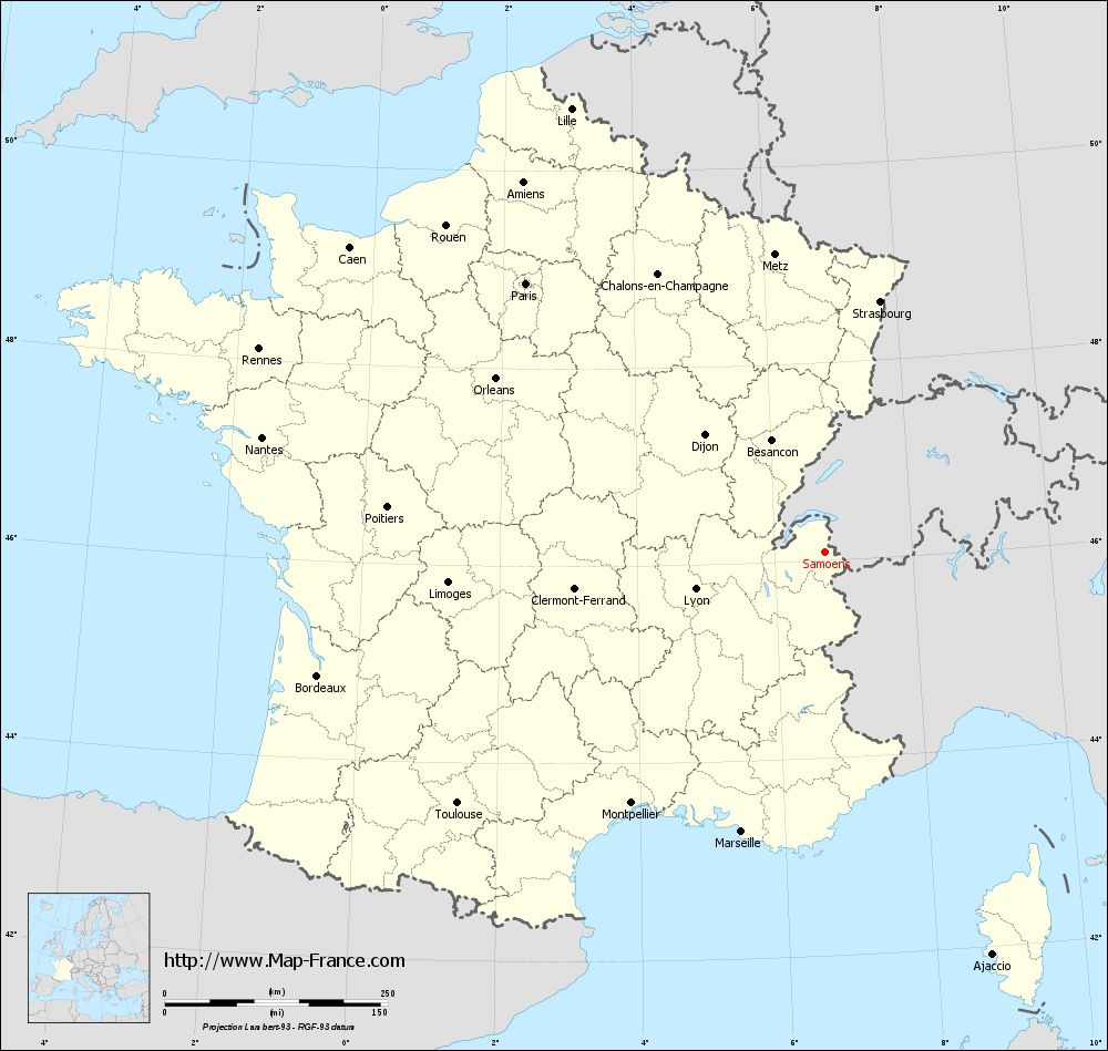
Map of Samoëns with regions and prefectures
|
View the map of Samoëns in full screen (1000 x 949)
|
You will find the location of Samoëns on the map of France of regions in Lambert 93 coordinates. The city of Samoëns is located in the department of Haute-Savoie of the french region Rhône-Alpes.
Geographical sexagesimal coordinates / GPS (WGS84):
Latitude: 46° 05' 02'' North
Longitude: 06° 43' 38'' East
Geographical decimal coordinates :
Latitude: 46.083 degrees (46.083° North)
Longitude: 6.724 degrees (6.724° East)
Lambert 93 coordinates :
X: 9 879 hectometers
Y: 65 606 hectometers
Lambert 2 coordinates :
X: 9 394 hectometers
Y: 21 299 hectometers
Below, the geographical coordinates of Annecy, prefecture of the Haute-Savoie department:
Geographical sexagesimal coordinates / GPS (WGS84):
Latitude: 45° 53' 57'' North
Longitude: 06° 07' 46'' East
Geographical decimal coordinates :
Latitude: 45.907 degrees (45.907° North)
Longitude: 6.127 degrees (6.127° East)
Lambert 93 coordinates :
X: 9 426 hectometers
Y: 65 381 hectometers
Lambert 2 coordinates :
X: 8 942 hectometers
Y: 21 070 hectometers
|
This map of Samoëns is reusable and modifiable by making a link to this page of the Map-France.com website or by using the given code :
|
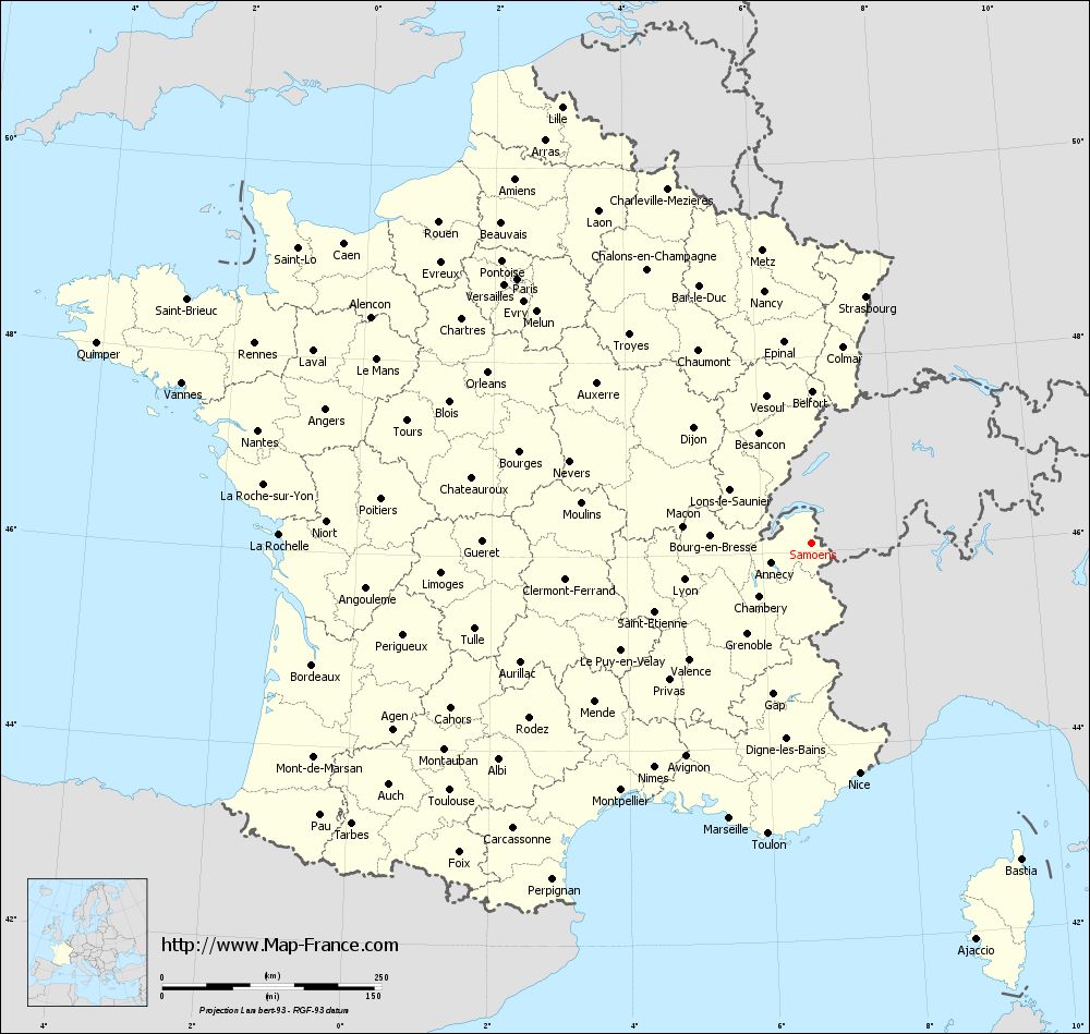
Map of Samoëns with departments and prefectures
|
Voir la carte of Samoëns en grand format (1000 x 949)
|
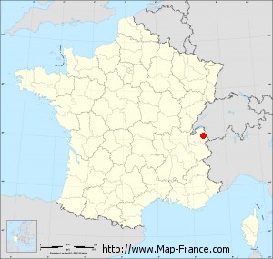
Here is the localization of Samoëns on the France map of departments in Lambert 93 coordinates. The city of Samoëns is shown on the map by a red point.
The city of Samoëns is located in the department of Haute-Savoie of the french region Rhône-Alpes.
The latitude of Samoëns is 46.083 degrees North.
The longitude of Samoëns is 6.724 degrees East.
Here the distance between Samoëns and the biggest cities of France:
Distances are calculated as the crow flies (orthodromic distance)
Distance between Samoëns and Paris : 450.84 kilometers
Distance between Samoëns and Marseille : 326.65 kilometers
Distance between Samoëns and Lyon : 150.35 kilometers
Distance between Samoëns and Toulouse : 498.53 kilometers
Distance between Samoëns and Nice : 267.44 kilometers
Distance between Samoëns and Nantes : 643.5 kilometers
Distance between Samoëns and Strasbourg : 288.6 kilometers
Distance between Samoëns and Montpellier : 354.84 kilometers
Distance between Samoëns and Bordeaux : 584.99 kilometers
Distance between Samoëns and Lille : 573.26 kilometers
Distance between Samoëns and Rennes : 673.9 kilometers
Distance between Samoëns and Reims : 406.19 kilometers
Clic here to see the map of Samoëns in full screen:
Samoëns on the map of french departments
|
This administrative map of Samoëns is reusable and modifiable by making a link to this page of the Map-France.com website or by using the given code :
|
Administrative base maps of Samoëns
|

See the administrative base map of Samoëns in full screen (1000 x 949)
|
Small administrative base map of Samoëns
|
This base map administrative of Samoëns is reusable and modifiable by making a link to this page of the Map-France.com website or by using the given code :
|
 French Version : http://www.cartesfrance.fr