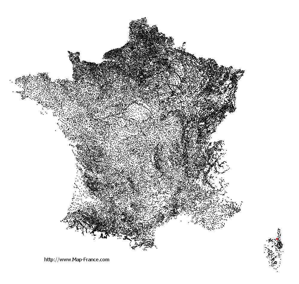
San-Gavino-di-Tenda on the relief France map in Lambert 93 coordinates
|

See the map of San-Gavino-di-Tenda in full screen (1000 x 949)
|
At left, here is the location of San-Gavino-di-Tenda on the relief France map in Lambert 93 coordinates.
Here are the altitudes of San-Gavino-di-Tenda :
- Town hall altitude of San-Gavino-di-Tenda is 335 meters
- Minimum altitude of San-Gavino-di-Tenda is 0 meters
- Maximum altitude of San-Gavino-di-Tenda is 1 426 meters
- Medium altitude of San-Gavino-di-Tenda is 713 meters
Here are the altitudes of Bastia, prefecture of Haute-Corse department:
- Town hall altitude of Bastia is 20 meters
- Minimum altitude of Bastia is 0 meters
- Maximum altitude of Bastia is 963 meters
- Medium altitude of Bastia is 482 meters
Here are the altitudes of the french biggest cities:
Paris : 33 meters
Marseille : 20 meters
Lyon : 237 meters
Toulouse : 146 meters
Nice : 10 meters
Nantes : 20 meters
Strasbourg : 144 meters
Montpellier : 35 meters
Bordeaux : 16 meters
Lille : 20 meters
Rennes : 35 meters
Reims : 83 meters
Click here for the terrain map of San-Gavino-di-Tenda in full screen:
Relief map of San-Gavino-di-Tenda
|
This relief map of San-Gavino-di-Tenda is reusable and modifiable by making a link to this page of the Map-France.com website or by using the given code :
|
Terrain base map of San-Gavino-di-Tenda
|

See the terrain base map of San-Gavino-di-Tenda in full screen (1000 x 949)
|
Small relief base map of San-Gavino-di-Tenda
|
This base map of San-Gavino-di-Tenda is reusable and modifiable by making a link to this page of the Map-France.com website or by using the given code :
|
Map of San-Gavino-di-Tenda with regions and prefectures
|
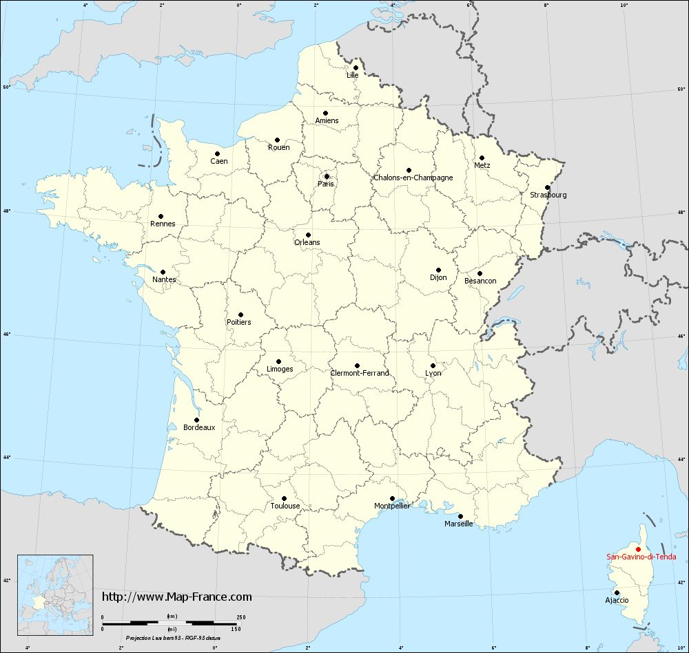
View the map of San-Gavino-di-Tenda in full screen (1000 x 949)
|
You will find the location of San-Gavino-di-Tenda on the map of France of regions in Lambert 93 coordinates. The town of San-Gavino-di-Tenda is located in the department of Haute-Corse of the french region Corse.
Geographical sexagesimal coordinates / GPS (WGS84):
Latitude: 42° 35' 56'' North
Longitude: 09° 16' 03'' East
Geographical decimal coordinates :
Latitude: 42.597 degrees (42.597° North)
Longitude: 9.269 degrees (9.269° East)
Lambert 93 coordinates :
X: 12 145 hectometers
Y: 61 870 hectometers
Lambert 2 coordinates :
X: 11 695 hectometers
Y: 17 579 hectometers
Below, the geographical coordinates of Bastia, prefecture of the Haute-Corse department:
Geographical sexagesimal coordinates / GPS (WGS84):
Latitude: 42° 41' 60'' North
Longitude: 09° 26' 58'' East
Geographical decimal coordinates :
Latitude: 42.694 degrees (42.694° North)
Longitude: 9.447 degrees (9.447° East)
Lambert 93 coordinates :
X: 12 285 hectometers
Y: 61 994 hectometers
Lambert 2 coordinates :
X: 11 834 hectometers
Y: 17 705 hectometers
|
This map of San-Gavino-di-Tenda is reusable and modifiable by making a link to this page of the Map-France.com website or by using the given code :
|
Map of San-Gavino-di-Tenda with departments and prefectures
|
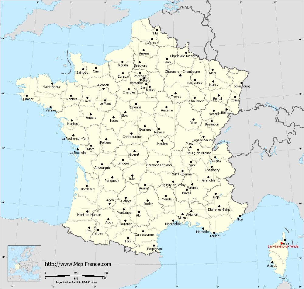
Voir la carte of San-Gavino-di-Tenda en grand format (1000 x 949)
|
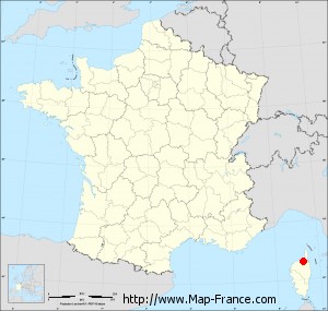
Here is the localization of San-Gavino-di-Tenda on the France map of departments in Lambert 93 coordinates. The city of San-Gavino-di-Tenda is shown on the map by a red point.
The town of San-Gavino-di-Tenda is located in the department of Haute-Corse of the french region Corse.
The latitude of San-Gavino-di-Tenda is 42.597 degrees North.
The longitude of San-Gavino-di-Tenda is 9.269 degrees East.
Here the distance between San-Gavino-di-Tenda and the biggest cities of France:
Distances are calculated as the crow flies (orthodromic distance)
Distance between San-Gavino-di-Tenda and Paris : 878.17 kilometers
Distance between San-Gavino-di-Tenda and Marseille : 324.1 kilometers
Distance between San-Gavino-di-Tenda and Lyon : 498.11 kilometers
Distance between San-Gavino-di-Tenda and Toulouse : 643.73 kilometers
Distance between San-Gavino-di-Tenda and Nice : 204 kilometers
Distance between San-Gavino-di-Tenda and Nantes : 993.13 kilometers
Distance between San-Gavino-di-Tenda and Strasbourg : 675.47 kilometers
Distance between San-Gavino-di-Tenda and Montpellier : 451.71 kilometers
Distance between San-Gavino-di-Tenda and Bordeaux : 828.25 kilometers
Distance between San-Gavino-di-Tenda and Lille : 1009.97 kilometers
Distance between San-Gavino-di-Tenda and Rennes : 1049.87 kilometers
Distance between San-Gavino-di-Tenda and Reims : 842.99 kilometers
Clic here to see the map of San-Gavino-di-Tenda in full screen:
San-Gavino-di-Tenda on the map of french departments
|
This administrative map of San-Gavino-di-Tenda is reusable and modifiable by making a link to this page of the Map-France.com website or by using the given code :
|
Administrative base maps of San-Gavino-di-Tenda
|

See the administrative base map of San-Gavino-di-Tenda in full screen (1000 x 949)
|
Small administrative base map of San-Gavino-di-Tenda
|
This base map administrative of San-Gavino-di-Tenda is reusable and modifiable by making a link to this page of the Map-France.com website or by using the given code :
|
 French Version : http://www.cartesfrance.fr