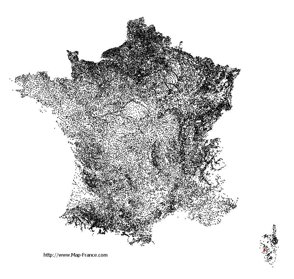
Sant'Andréa-d'Orcino on the relief France map in Lambert 93 coordinates
|

See the map of Sant'Andréa-d'Orcino in full screen (1000 x 949)
|
At left, here is the location of Sant'Andréa-d'Orcino on the relief France map in Lambert 93 coordinates.
Here are the altitudes of Sant'Andréa-d'Orcino :
- Town hall altitude of Sant'Andréa-d'Orcino is 300 meters
- Minimum altitude of Sant'Andréa-d'Orcino is 0 meters
- Maximum altitude of Sant'Andréa-d'Orcino is 827 meters
- Medium altitude of Sant'Andréa-d'Orcino is 414 meters
Here are the altitudes of Ajaccio, prefecture of Corse-du-Sud department:
- Town hall altitude of Ajaccio is 20 meters
- Minimum altitude of Ajaccio is 0 meters
- Maximum altitude of Ajaccio is 787 meters
- Medium altitude of Ajaccio is 394 meters
Here are the altitudes of the french biggest cities:
Paris : 33 meters
Marseille : 20 meters
Lyon : 237 meters
Toulouse : 146 meters
Nice : 10 meters
Nantes : 20 meters
Strasbourg : 144 meters
Montpellier : 35 meters
Bordeaux : 16 meters
Lille : 20 meters
Rennes : 35 meters
Reims : 83 meters
Click here for the terrain map of Sant'Andréa-d'Orcino in full screen:
Relief map of Sant%27Andréa-d%27Orcino
|
This relief map of Sant'Andréa-d'Orcino is reusable and modifiable by making a link to this page of the Map-France.com website or by using the given code :
|
Terrain base map of Sant'Andréa-d'Orcino
|

See the terrain base map of Sant'Andréa-d'Orcino in full screen (1000 x 949)
|
Small relief base map of Sant'Andréa-d'Orcino

|
This base map of Sant'Andréa-d'Orcino is reusable and modifiable by making a link to this page of the Map-France.com website or by using the given code :
|
Map of Sant'Andréa-d'Orcino with regions and prefectures
|
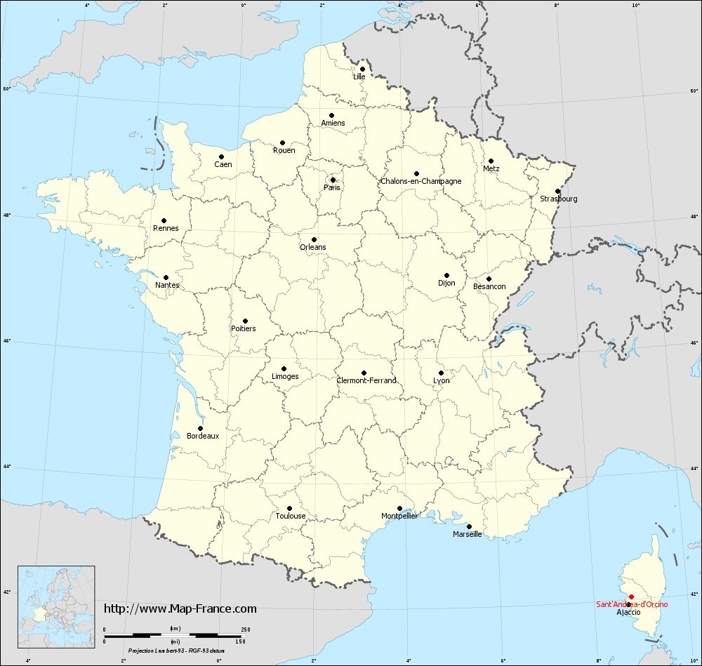
View the map of Sant'Andréa-d'Orcino in full screen (1000 x 949)
|
You will find the location of Sant'Andréa-d'Orcino on the map of France of regions in Lambert 93 coordinates. The town of Sant'Andréa-d'Orcino is located in the department of Corse-du-Sud of the french region Corse.
Geographical sexagesimal coordinates / GPS (WGS84):
Latitude: 42° 02' 47'' North
Longitude: 08° 48' 32'' East
Geographical decimal coordinates :
Latitude: 42.045 degrees (42.045° North)
Longitude: 8.809 degrees (8.809° East)
Lambert 93 coordinates :
X: 11 815 hectometers
Y: 61 228 hectometers
Lambert 2 coordinates :
X: 11 370 hectometers
Y: 16 934 hectometers
Below, the geographical coordinates of Ajaccio, prefecture of the Corse-du-Sud department:
Geographical sexagesimal coordinates / GPS (WGS84):
Latitude: 41° 55' 32'' North
Longitude: 08° 44' 11'' East
Geographical decimal coordinates :
Latitude: 41.921 degrees (41.921° North)
Longitude: 8.735 degrees (8.735° East)
Lambert 93 coordinates :
X: 11 764 hectometers
Y: 61 090 hectometers
Lambert 2 coordinates :
X: 11 321 hectometers
Y: 16 795 hectometers
|
This map of Sant'Andréa-d'Orcino is reusable and modifiable by making a link to this page of the Map-France.com website or by using the given code :
|
Map of Sant'Andréa-d'Orcino with departments and prefectures
|
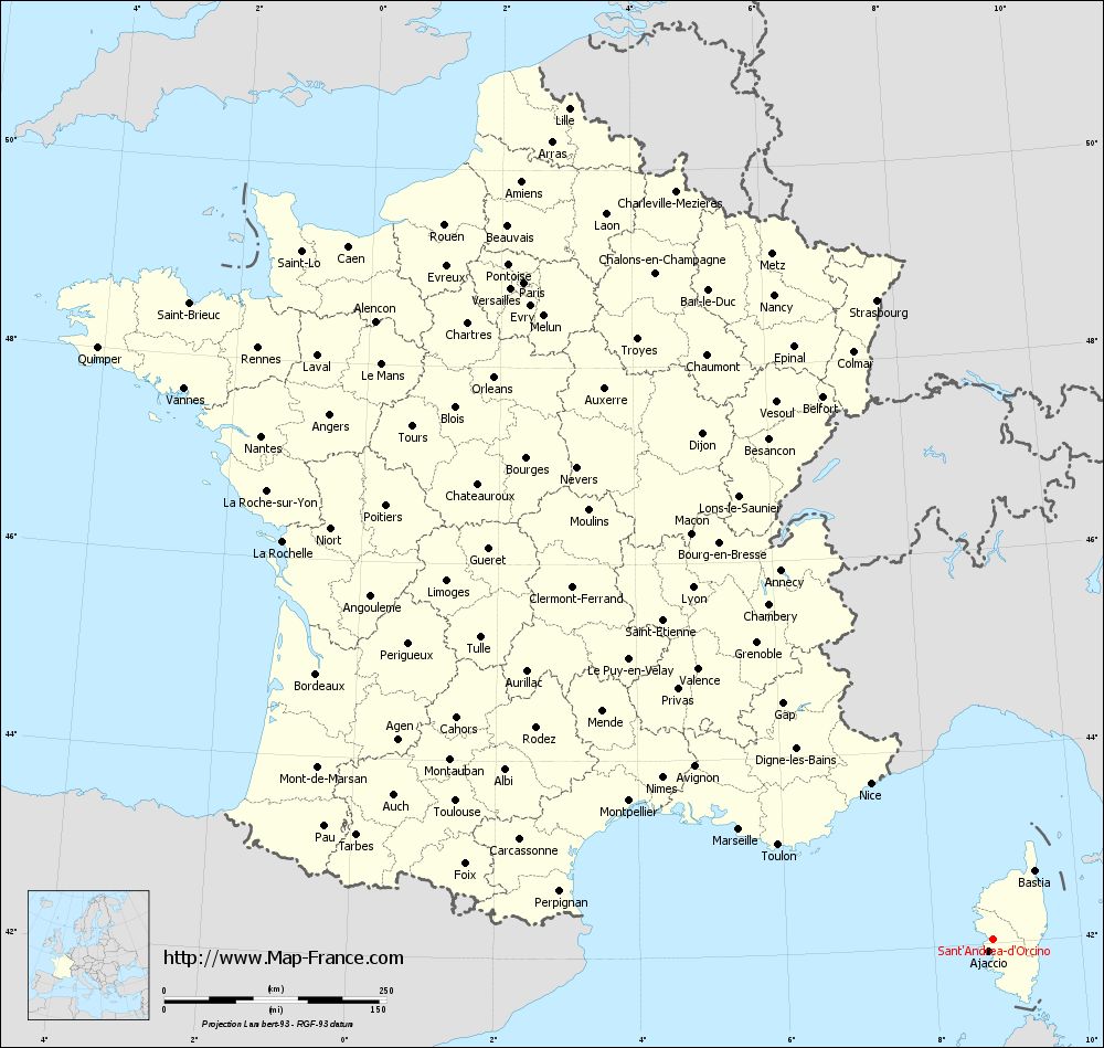
Voir la carte of Sant'Andréa-d'Orcino en grand format (1000 x 949)
|
Here is the localization of Sant'Andréa-d'Orcino on the France map of departments in Lambert 93 coordinates. The city of Sant'Andréa-d'Orcino is shown on the map by a red point.
The town of Sant'Andréa-d'Orcino is located in the department of Corse-du-Sud of the french region Corse.
The latitude of Sant'Andréa-d'Orcino is 42.045 degrees North.
The longitude of Sant'Andréa-d'Orcino is 8.809 degrees East.
Here the distance between Sant'Andréa-d'Orcino and the biggest cities of France:
Distances are calculated as the crow flies (orthodromic distance)
Distance between Sant'Andréa-d'Orcino and Paris : 908.74 kilometers
Distance between Sant'Andréa-d'Orcino and Marseille : 311.28 kilometers
Distance between Sant'Andréa-d'Orcino and Lyon : 520.94 kilometers
Distance between Sant'Andréa-d'Orcino and Toulouse : 623.79 kilometers
Distance between Sant'Andréa-d'Orcino and Nice : 223.38 kilometers
Distance between Sant'Andréa-d'Orcino and Nantes : 999.54 kilometers
Distance between Sant'Andréa-d'Orcino and Strasbourg : 731.17 kilometers
Distance between Sant'Andréa-d'Orcino and Montpellier : 437.92 kilometers
Distance between Sant'Andréa-d'Orcino and Bordeaux : 817.68 kilometers
Distance between Sant'Andréa-d'Orcino and Lille : 1050.34 kilometers
Distance between Sant'Andréa-d'Orcino and Rennes : 1061.83 kilometers
Distance between Sant'Andréa-d'Orcino and Reims : 882.66 kilometers
Clic here to see the map of Sant'Andréa-d'Orcino in full screen:
Sant%27Andréa-d%27Orcino on the map of french departments
|
This administrative map of Sant'Andréa-d'Orcino is reusable and modifiable by making a link to this page of the Map-France.com website or by using the given code :
|
Administrative base maps of Sant'Andréa-d'Orcino
|

See the administrative base map of Sant'Andréa-d'Orcino in full screen (1000 x 949)
|
Small administrative base map of Sant'Andréa-d'Orcino
|
This base map administrative of Sant'Andréa-d'Orcino is reusable and modifiable by making a link to this page of the Map-France.com website or by using the given code :
|
 French Version : http://www.cartesfrance.fr