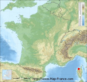
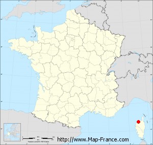
Santa-Reparata-di-Balagna on the relief France map in Lambert 93 coordinates
|

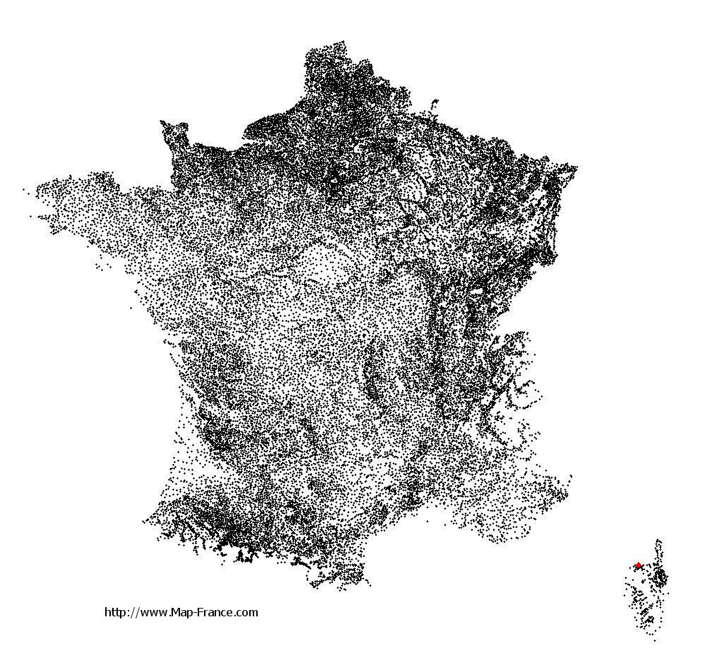
See the map of Santa-Reparata-di-Balagna in full screen (1000 x 949)
|
At left, here is the location of Santa-Reparata-di-Balagna on the relief France map in Lambert 93 coordinates.
Here are the altitudes of Santa-Reparata-di-Balagna :
- Town hall altitude of Santa-Reparata-di-Balagna is 267 meters
- Minimum altitude of Santa-Reparata-di-Balagna is 35 meters
- Maximum altitude of Santa-Reparata-di-Balagna is 561 meters
- Medium altitude of Santa-Reparata-di-Balagna is 298 meters
Here are the altitudes of Bastia, prefecture of Haute-Corse department:
- Town hall altitude of Bastia is 20 meters
- Minimum altitude of Bastia is 0 meters
- Maximum altitude of Bastia is 963 meters
- Medium altitude of Bastia is 482 meters
Here are the altitudes of the french biggest cities:
Paris : 33 meters
Marseille : 20 meters
Lyon : 237 meters
Toulouse : 146 meters
Nice : 10 meters
Nantes : 20 meters
Strasbourg : 144 meters
Montpellier : 35 meters
Bordeaux : 16 meters
Lille : 20 meters
Rennes : 35 meters
Reims : 83 meters
Click here for the terrain map of Santa-Reparata-di-Balagna in full screen:
Relief map of Santa-Reparata-di-Balagna
|
This relief map of Santa-Reparata-di-Balagna is reusable and modifiable by making a link to this page of the Map-France.com website or by using the given code :
|
Terrain base map of Santa-Reparata-di-Balagna
|

See the terrain base map of Santa-Reparata-di-Balagna in full screen (1000 x 949)
|
Small relief base map of Santa-Reparata-di-Balagna
|
This base map of Santa-Reparata-di-Balagna is reusable and modifiable by making a link to this page of the Map-France.com website or by using the given code :
|
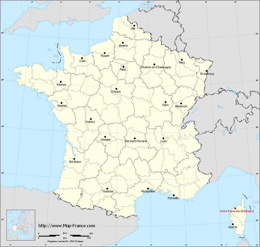
Map of Santa-Reparata-di-Balagna with regions and prefectures
|
View the map of Santa-Reparata-di-Balagna in full screen (1000 x 949)
|
You will find the location of Santa-Reparata-di-Balagna on the map of France of regions in Lambert 93 coordinates. The town of Santa-Reparata-di-Balagna is located in the department of Haute-Corse of the french region Corse.
Geographical sexagesimal coordinates / GPS (WGS84):
Latitude: 42° 36' 13'' North
Longitude: 08° 55' 42'' East
Geographical decimal coordinates :
Latitude: 42.603 degrees (42.603° North)
Longitude: 8.928 degrees (8.928° East)
Lambert 93 coordinates :
X: 11 867 hectometers
Y: 61 854 hectometers
Lambert 2 coordinates :
X: 11 417 hectometers
Y: 17 561 hectometers
Below, the geographical coordinates of Bastia, prefecture of the Haute-Corse department:
Geographical sexagesimal coordinates / GPS (WGS84):
Latitude: 42° 41' 60'' North
Longitude: 09° 26' 58'' East
Geographical decimal coordinates :
Latitude: 42.694 degrees (42.694° North)
Longitude: 9.447 degrees (9.447° East)
Lambert 93 coordinates :
X: 12 285 hectometers
Y: 61 994 hectometers
Lambert 2 coordinates :
X: 11 834 hectometers
Y: 17 705 hectometers
|
This map of Santa-Reparata-di-Balagna is reusable and modifiable by making a link to this page of the Map-France.com website or by using the given code :
|
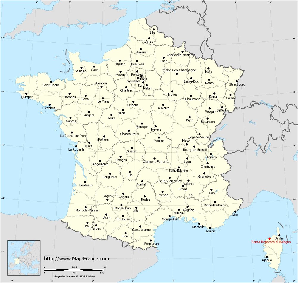
Map of Santa-Reparata-di-Balagna with departments and prefectures
|
Voir la carte of Santa-Reparata-di-Balagna en grand format (1000 x 949)
|
Here is the localization of Santa-Reparata-di-Balagna on the France map of departments in Lambert 93 coordinates. The city of Santa-Reparata-di-Balagna is shown on the map by a red point.
The town of Santa-Reparata-di-Balagna is located in the department of Haute-Corse of the french region Corse.
The latitude of Santa-Reparata-di-Balagna is 42.603 degrees North.
The longitude of Santa-Reparata-di-Balagna is 8.928 degrees East.
Here the distance between Santa-Reparata-di-Balagna and the biggest cities of France:
Distances are calculated as the crow flies (orthodromic distance)
Distance between Santa-Reparata-di-Balagna and Paris : 861.81 kilometers
Distance between Santa-Reparata-di-Balagna and Marseille : 297.09 kilometers
Distance between Santa-Reparata-di-Balagna and Lyon : 478.77 kilometers
Distance between Santa-Reparata-di-Balagna and Toulouse : 616.4 kilometers
Distance between Santa-Reparata-di-Balagna and Nice : 182.3 kilometers
Distance between Santa-Reparata-di-Balagna and Nantes : 969.97 kilometers
Distance between Santa-Reparata-di-Balagna and Strasbourg : 670.74 kilometers
Distance between Santa-Reparata-di-Balagna and Montpellier : 424.81 kilometers
Distance between Santa-Reparata-di-Balagna and Bordeaux : 802.01 kilometers
Distance between Santa-Reparata-di-Balagna and Lille : 997.5 kilometers
Distance between Santa-Reparata-di-Balagna and Rennes : 1028.03 kilometers
Distance between Santa-Reparata-di-Balagna and Reims : 830.15 kilometers
Clic here to see the map of Santa-Reparata-di-Balagna in full screen:
Santa-Reparata-di-Balagna on the map of french departments
|
This administrative map of Santa-Reparata-di-Balagna is reusable and modifiable by making a link to this page of the Map-France.com website or by using the given code :
|
Administrative base maps of Santa-Reparata-di-Balagna
|

See the administrative base map of Santa-Reparata-di-Balagna in full screen (1000 x 949)
|
Small administrative base map of Santa-Reparata-di-Balagna
|
This base map administrative of Santa-Reparata-di-Balagna is reusable and modifiable by making a link to this page of the Map-France.com website or by using the given code :
|
 French Version : http://www.cartesfrance.fr