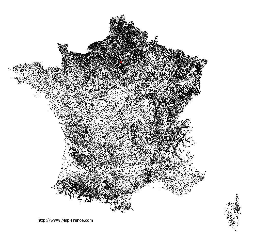
Sarcelles on the relief France map in Lambert 93 coordinates
|
See the map of Sarcelles in full screen (1000 x 949)
|
At left, here is the location of Sarcelles on the relief France map in Lambert 93 coordinates.
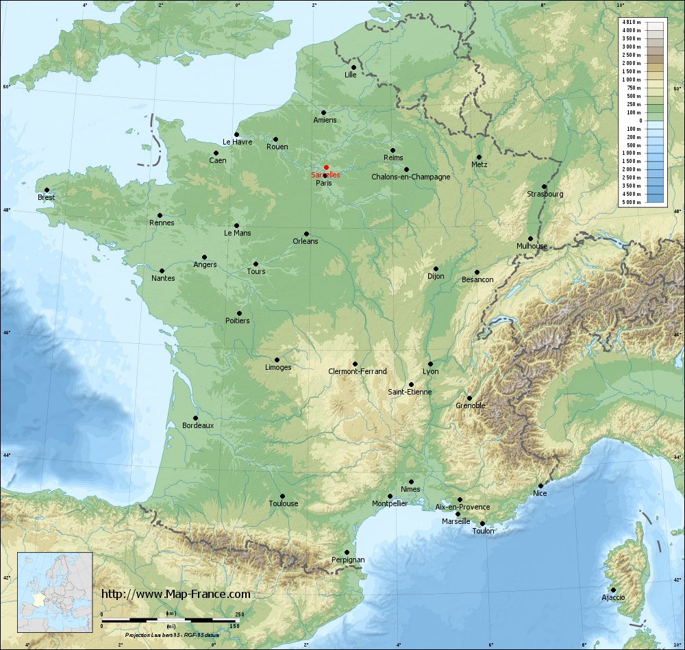
Here are the altitudes of Sarcelles :
- Town hall altitude of Sarcelles is 68 meters
- Minimum altitude of Sarcelles is 46 meters
- Maximum altitude of Sarcelles is 142 meters
- Medium altitude of Sarcelles is 94 meters
Here are the altitudes of Pontoise, prefecture of Val-d'Oise department:
- Town hall altitude of Pontoise is 62 meters
- Minimum altitude of Pontoise is 22 meters
- Maximum altitude of Pontoise is 87 meters
- Medium altitude of Pontoise is 55 meters
Here are the altitudes of the french biggest cities:
Paris : 33 meters
Marseille : 20 meters
Lyon : 237 meters
Toulouse : 146 meters
Nice : 10 meters
Nantes : 20 meters
Strasbourg : 144 meters
Montpellier : 35 meters
Bordeaux : 16 meters
Lille : 20 meters
Rennes : 35 meters
Reims : 83 meters
Click here for the terrain map of Sarcelles in full screen:
Relief map of Sarcelles
|
This relief map of Sarcelles is reusable and modifiable by making a link to this page of the Map-France.com website or by using the given code :
|
Terrain base map of Sarcelles
|

See the terrain base map of Sarcelles in full screen (1000 x 949)
|
Small relief base map of Sarcelles

|
This base map of Sarcelles is reusable and modifiable by making a link to this page of the Map-France.com website or by using the given code :
|
Map of Sarcelles with regions and prefectures
|
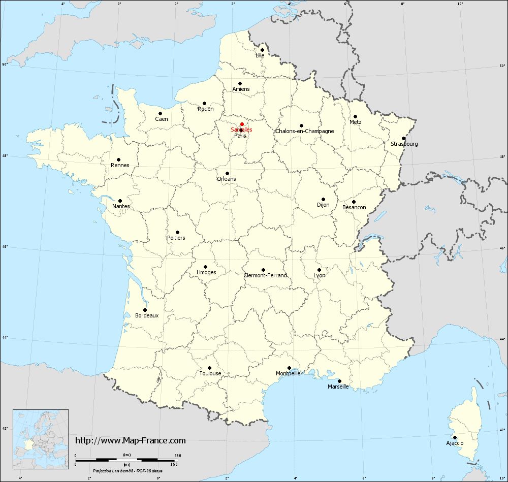
View the map of Sarcelles in full screen (1000 x 949)
|
You will find the location of Sarcelles on the map of France of regions in Lambert 93 coordinates. The city of Sarcelles is located in the department of Val-d'Oise of the french region Île-de-France.
Geographical sexagesimal coordinates / GPS (WGS84):
Latitude: 48° 59' 50'' North
Longitude: 02° 22' 41'' East
Geographical decimal coordinates :
Latitude: 49 degrees (49° North)
Longitude: 2.378 degrees (2.378° East)
Lambert 93 coordinates :
X: 6 545 hectometers
Y: 68 777 hectometers
Lambert 2 coordinates :
X: 6 030 hectometers
Y: 24 443 hectometers
Below, the geographical coordinates of Pontoise, prefecture of the Val-d'Oise department:
Geographical sexagesimal coordinates / GPS (WGS84):
Latitude: 49° 03' 03'' North
Longitude: 02° 06' 03'' East
Geographical decimal coordinates :
Latitude: 49.052 degrees (49.052° North)
Longitude: 2.094 degrees (2.094° East)
Lambert 93 coordinates :
X: 6 343 hectometers
Y: 68 838 hectometers
Lambert 2 coordinates :
X: 5 828 hectometers
Y: 24 503 hectometers
|
This map of Sarcelles is reusable and modifiable by making a link to this page of the Map-France.com website or by using the given code :
|
Map of Sarcelles with departments and prefectures
|
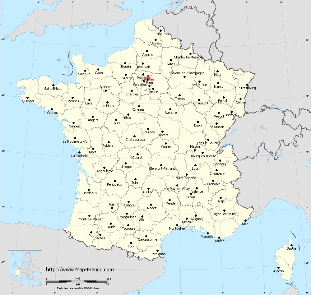
Voir la carte of Sarcelles en grand format (1000 x 949)
|
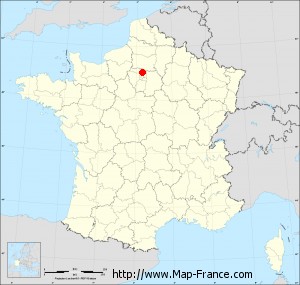
Here is the localization of Sarcelles on the France map of departments in Lambert 93 coordinates. The city of Sarcelles is shown on the map by a red point.
The city of Sarcelles is located in the department of Val-d'Oise of the french region Île-de-France.
The latitude of Sarcelles is 49 degrees North.
The longitude of Sarcelles is 2.378 degrees East.
Here the distance between Sarcelles and the biggest cities of France:
Distances are calculated as the crow flies (orthodromic distance)
Distance between Sarcelles and Paris : 15.6 kilometers
Distance between Sarcelles and Marseille : 674.77 kilometers
Distance between Sarcelles and Lyon : 404.62 kilometers
Distance between Sarcelles and Toulouse : 604.14 kilometers
Distance between Sarcelles and Nice : 696.98 kilometers
Distance between Sarcelles and Nantes : 352.35 kilometers
Distance between Sarcelles and Strasbourg : 396.28 kilometers
Distance between Sarcelles and Montpellier : 609.84 kilometers
Distance between Sarcelles and Bordeaux : 513.21 kilometers
Distance between Sarcelles and Lille : 187.13 kilometers
Distance between Sarcelles and Rennes : 314.4 kilometers
Distance between Sarcelles and Reims : 123.62 kilometers
Clic here to see the map of Sarcelles in full screen:
Sarcelles on the map of french departments
|
This administrative map of Sarcelles is reusable and modifiable by making a link to this page of the Map-France.com website or by using the given code :
|
Administrative base maps of Sarcelles
|

See the administrative base map of Sarcelles in full screen (1000 x 949)
|
Small administrative base map of Sarcelles
|
This base map administrative of Sarcelles is reusable and modifiable by making a link to this page of the Map-France.com website or by using the given code :
|
 French Version : http://www.cartesfrance.fr