|
The village of Sarrigné is a small village located north west of France. The town of Sarrigné is located in the department of Maine-et-Loire of the french region Pays de la Loire. The town of Sarrigné is located in the township of Angers-Trélazé part of the district of Angers. The area code for Sarrigné is 49326 (also known as code INSEE), and the Sarrigné zip code is 49800.
Geography and map of Sarrigné :
The altitude of the city hall of Sarrigné is approximately 40 meters. The Sarrigné surface is 2.97 km ². The latitude and longitude of Sarrigné are 47.501 degrees North and 0.384 degrees West.
Nearby cities and towns of Sarrigné are :
Le Plessis-Grammoire (49124) at 3.39 km, Corné (49250) at 4.10 km, Pellouailles-les-Vignes (49112) at 4.87 km, Bauné (49140) at 4.96 km, Andard (49800) at 5.19 km, Cornillé-les-Caves (49140) at 6.27 km, Corzé (49140) at 6.58 km, Brain-sur-l'Authion (49800) at 6.61 km.
(The distances to these nearby towns of Sarrigné are calculated as the crow flies)
Population and housing of Sarrigné :
The population of Sarrigné was 743 in 1999, 802 in 2006 and 810 in 2007. The population density of Sarrigné is 272.73 inhabitants per km². The number of housing of Sarrigné was 275 in 2007. These homes of Sarrigné consist of 267 main residences, 6 second or occasional homes and 2 vacant homes. |
|
|
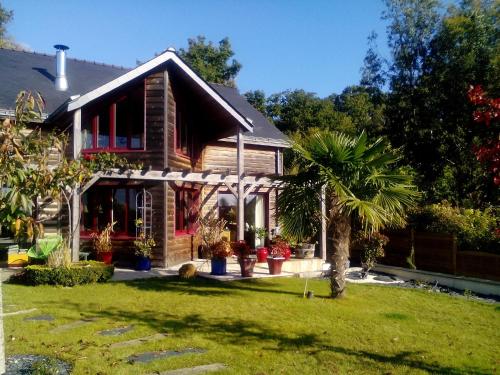
Hotel Sarrigné
|
|
|
Book now ! Best Price Guaranteed, no booking fees, pay at the hotel with our partner Booking.com, leader in online hotel reservation.
Find all hotels of Sarrigné : Hotel Sarrigné
| |
|
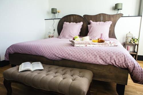
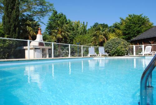
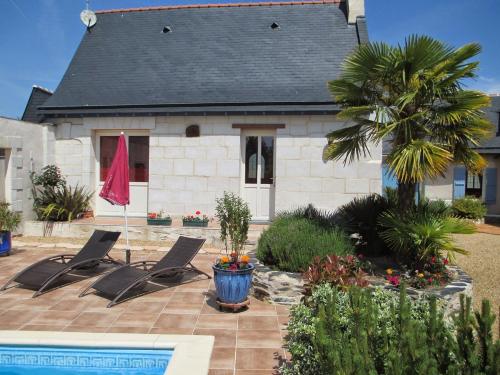
Hotel : Chateau de Briançon

Housed in a 17th-century château, Château de Briançon is 3 km from the centre of Bauné and 19 km from Angers. This B&B offers a garden, a terrace and free WiFi access. The prop...
Rate : from 69.00 €
to 99.00 €
Address : 846 route de Briançon 49140 Bauné
Distance Hotel - Sarrigné : 2.37 km
|
|
|
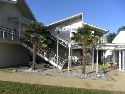
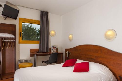
Hotel : Hotel A L'Océane Angers - Le Mans

Located in Villeveque, Hôtel à l'Océane is set within a tree-lined park and provides soundproofed rooms. You can relax on the furnished terrace with a drink from the bar and din...
Price : from 63.00 €
to 110.00 €
Contact : 16 route de l'océane, D323 49140 Saint-Sylvain-dʼAnjou
Distance Hotel - Sarrigné : 4.30 km
|
|
|
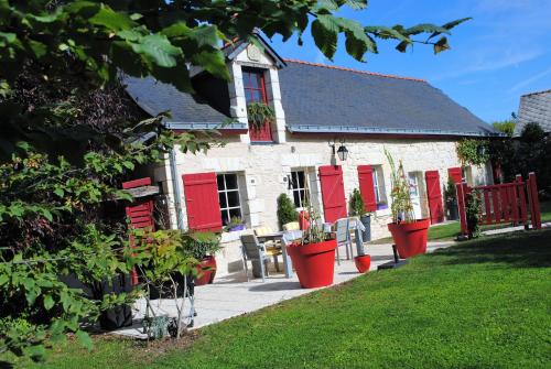
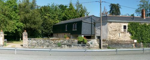
Guest accommodation : Maison d’hôtes Domaine de la touche
Maison d’hôtes Domaine de la touche is situated in Cornillé-les-Caves and features a garden. All rooms boast a flat-screen TV with satellite channels and a private bathroom. Eac...
Prices : from 73.00 €
to 89.00 €
Contact : lieu dit la touche 49140 Cornillé-les-Caves
Distance Guest accommodation - Sarrigné : 6.87 km
|
|
|
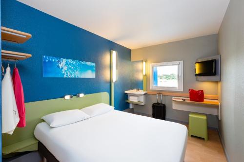
Hotel : Ibis Budget Angers Parc des Expositions
The ibis budget Angers Parc des Expositions is located in Saint-Sylvain-d’Anjou, just a 2-minute drive from A87 and A11 Highway entrance. Free WiFi access is available throughou...
Rate : from 47.00 €
to 75.00 €
Contact : Lieu dit La Fauvelaie A11-Aire des Portes d'Angers Accessible aussi hors autoroute 49480 Saint-Sylvain-dʼAnjou
Distance Hotel - Sarrigné : 8.08 km
|
|
|
Hotel : Brit Hotel Angers Parc Expo - L'Acropole
The Acropole hotel is located 50 metres from the Angers Expo Centre in the town of Saint Sylvain d’Anjou. It offers an outdoor swimming pool and free Wi-Fi internet access. Th...
Price : from 49.77 €
to 149.00 €
Address : Parc Du Bon Puits 49480 Saint-Sylvain-dʼAnjou
Distance Hotel - Sarrigné : 8.10 km
|
|
|
Hotel : Hôtel Balladins Angers Parc des Expositions
Hôtel balladins Angers / St-Sylvain is located in Saint Sylvain d'Anjou, only a few kilometres away from Angers. The hotel boasts 45 comfortable and fully equipped rooms, perfe...
Prices : from 49.00 €
to 95.00 €
Contact : 3 Rue du Bon Puits - Zone du Bon Puits 49480 Saint-Sylvain-dʼAnjou
Distance Hotel - Sarrigné : 8.12 km
|
|
|
Guest accommodation : Guest House La Fauvelaie
Situated in Saint-Sylvain-dʼAnjou, within 300 metres of Angers Expo, Guest House La Fauvelaie is an accommodation offering garden views. Complimentary WiFi is offered. The home...
Rate : from 55.00 €
Contact : Lieu Dit La Fauvelaie 49480 Saint-Sylvain-dʼAnjou
Distance Guest accommodation - Sarrigné : 8.23 km
|
|
|
Bed and Breakfast : Chambre d'hôtes du Haut Chemin
Chambre d'hôtes du Haut Chemin is set in La Bohalle. The property was built in 2008, and has accommodation with free WiFi. The bed and breakfast offers a sun terrace. Guests ca...
Price : from 58.00 €
to 65.00 €
Contact : 19, rue le Haut Chemin 49800 La Bohalle
Distance Bed and Breakfast - Sarrigné : 8.36 km
|
|
|
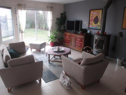
Apartment : Appartement Dans Maison d'Architecte
Appartement Dans Maison d'Architecte is set in Soucelles and offers a seasonal outdoor swimming pool and barbecue facilities. This apartment features air-conditioned accommodati...
Address : 6 square Bacchus 49140 Soucelles
Distance Apartment - Sarrigné : 8.40 km
|
|
|
Guest accommodation : Les Palmiers à La Bohalle
Offering an outdoor swimming pool and a garden, Les Palmiers à La Bohalle is a self-catering accommodation located in La Bohalle. Free WiFi access is available in this holiday h...
Contact : 7 rue Le Carrefour 49800 La Bohalle
Distance Guest accommodation - Sarrigné : 8.51 km
|
|
Find another hotel near Sarrigné : Sarrigné hotels list
|
Map of Sarrigné
|
|
Map of Sarrigné :
At right you can find the localization of Sarrigné on the map of France. Below, this is the satellite map of Sarrigné. A road map, and maps templates of Sarrigné are available here : "road map of Sarrigné". This map show Sarrigné seen by the satellite of Google Map. To see the streets of Sarrigné or move on another zone, use the buttons "zoom" and "map" on top of this dynamic map.
Search on the map of Sarrigné :
To search hotels, housings, tourist information office, administrations or other services, use the Google search integrated to the map on the following page : "map Sarrigné".
Hotels of Sarrigné are listed on the map with the following icons: 
The map of Sarrigné is centred in the following coordinates :
|

|
|
|
|
Print the map of Sarrigné

Print the map of Sarrigné : map of Sarrigné
|
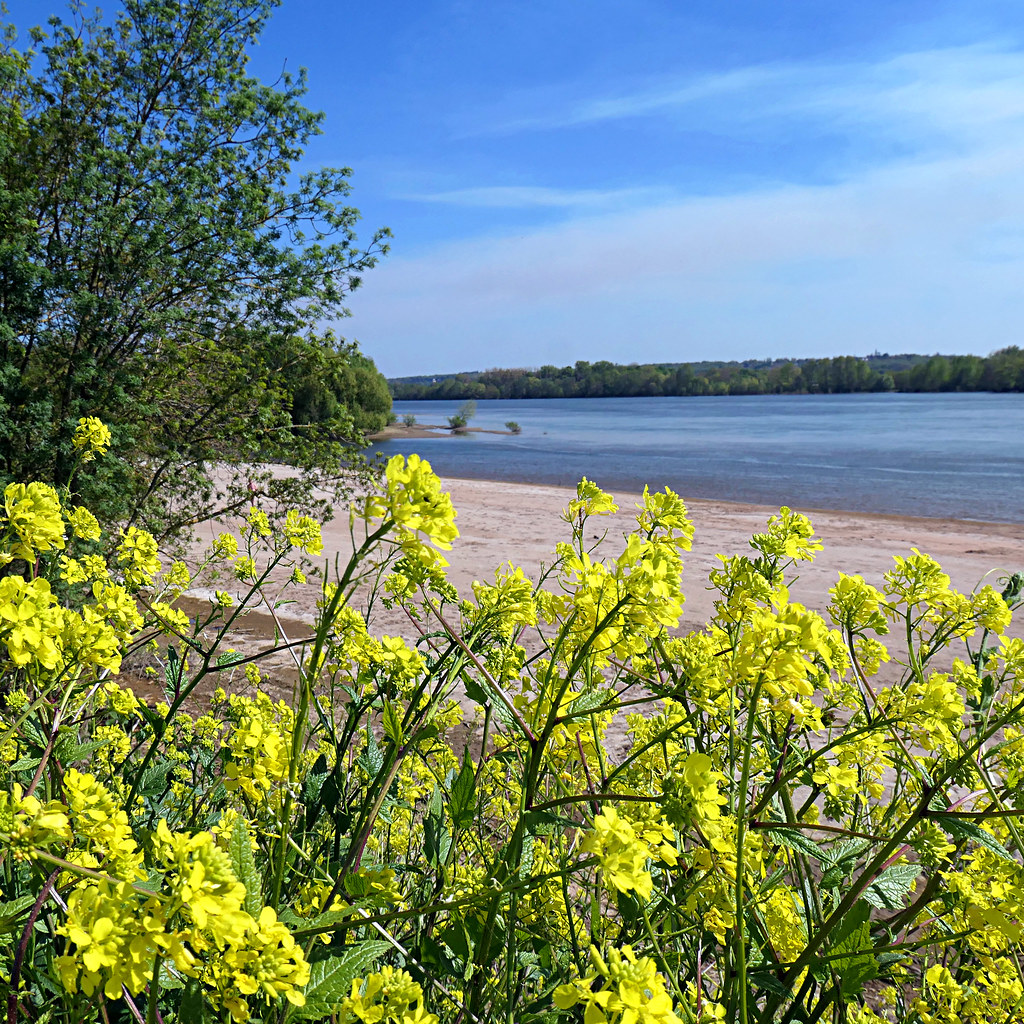
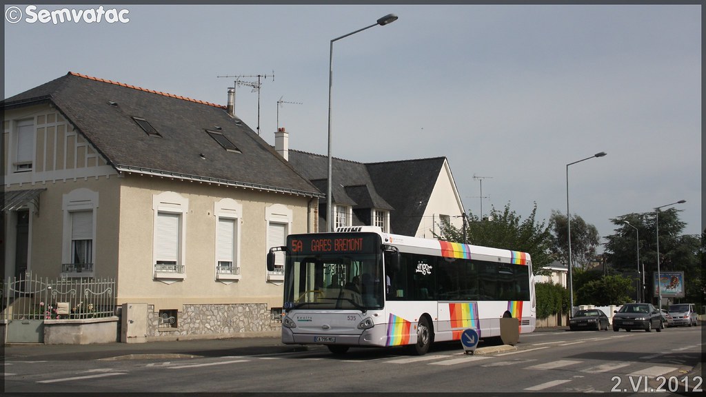
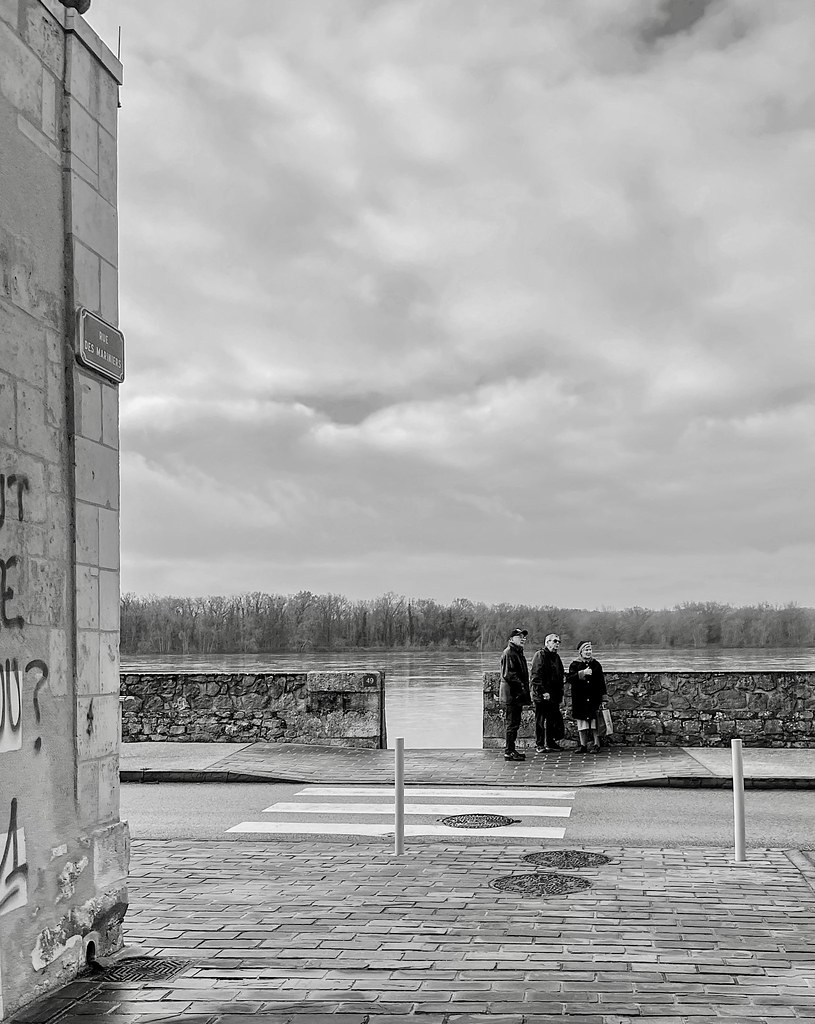
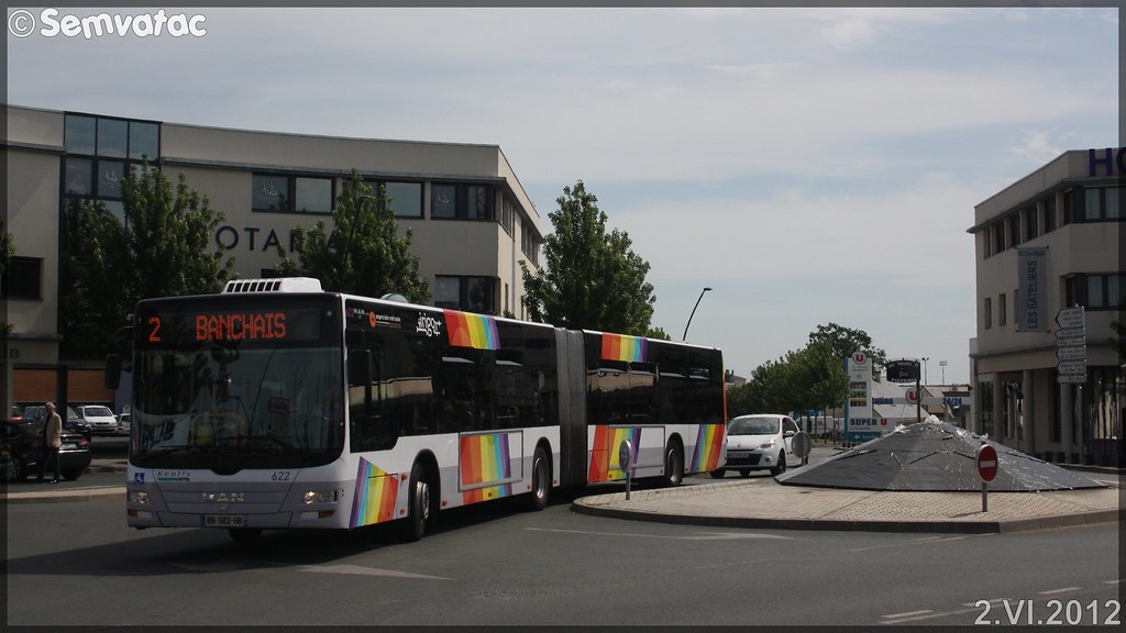
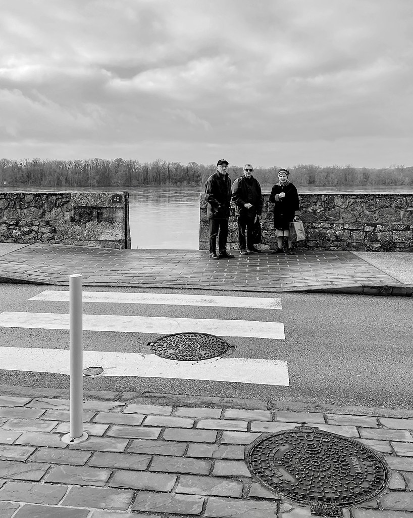
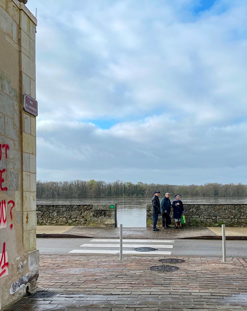
Photos Sarrigné
|
See all photos of Sarrigné :
Other photos of Sarrigné and nearby towns can be found here: photos Sarrigné
|
|
Sarrigné weather forecast
Find next hours and 7 days weather forecast for Sarrigné here : weather Sarrigné (with english metrics)
This is the last weather forecast for Sarrigné collected by the nearest observation station of Angers.
Week Forecast:
The latest weather data for Sarrigné were collected Friday, 31 July 2026 at 08:03 from the nearest observation station of Angers.
| Friday, July 31st |
28°C 18°C
96%
75%
|
Drizzle
Temperature Max: 28°C Temperature Min: 18°C
Precipitation Probability: 96%
Percentage of sky occluded by clouds: 75%
Wind speed: 12 km/h South
Humidity: 61%° UV Index: 5
Sunrise: 06:39 Sunset: 21:38 |
|
| | Saturday, August 1st |
27°C 14°C
0%
63%
|
Mostly cloudy
Temperature Max: 27°C Temperature Min: 14°C
Precipitation Probability: 0%
Percentage of sky occluded by clouds: 63%
Wind speed: 10 km/h South
Humidity: 43%° UV Index: 5
Sunrise: 06:40 Sunset: 21:36 |
|
| | Sunday, August 2nd |
31°C 15°C
0%
52%
|
Partly cloudy
Temperature Max: 31°C Temperature Min: 15°C
Precipitation Probability: 0%
Percentage of sky occluded by clouds: 52%
Wind speed: 10 km/h Sout-East
Humidity: 44%° UV Index: 5
Sunrise: 06:41 Sunset: 21:35 |
|
| | Monday, August 3rd |
32°C 19°C
29%
73%
|
Mostly cloudy
Temperature Max: 32°C Temperature Min: 19°C
Precipitation Probability: 29%
Percentage of sky occluded by clouds: 73%
Wind speed: 12 km/h North-East
Humidity: 44%° UV Index: 5
Sunrise: 06:42 Sunset: 21:33 |
|
|
Attribution: 
|
|
Other maps, hotels and towns in france
Find another town, zip code, department, region, ...
Quick links Sarrigné :
Make a link to this page of Sarrigné with the following code :
|
|
|
 French Version : http://www.cartesfrance.fr/carte-france-ville/49326_Sarrigne.html