|
The village of Saules is a small village located east center of France. The town of Saules is located in the department of Saône-et-Loire of the french region Bourgogne. The town of Saules is located in the township of Buxy part of the district of Chalon-sur-Saône. The area code for Saules is 71503 (also known as code INSEE), and the Saules zip code is 71940 or 71390.
Geography and map of Saules :
The altitude of the city hall of Saules is approximately 292 meters. The Saules surface is 2.06 km ². The latitude and longitude of Saules are 46.657 degrees North and 4.671 degrees East.
Nearby cities and towns of Saules are :
Saint-Boil (71940) at 1.03 km, Culles-les-Roches (71460) at 1.38 km, Chenôves (71940) at 1.54 km, Fley (71390) at 2.56 km, Saint-Vallerin (71390) at 3.37 km, Bissy-sur-Fley (71460) at 4.02 km, Jully-lès-Buxy (71390) at 4.19 km, Saint-Martin-du-Tartre (71460) at 4.85 km.
(The distances to these nearby towns of Saules are calculated as the crow flies)
Population and housing of Saules :
The population of Saules was 118 in 1999, 127 in 2006 and 126 in 2007. The population density of Saules is 61.17 inhabitants per km². The number of housing of Saules was 83 in 2007. These homes of Saules consist of 60 main residences, 17 second or occasional homes and 5 vacant homes. |
|
|
Hotel Saules
|
|
|
Book now ! Best Price Guaranteed, no booking fees, pay at the hotel with our partner Booking.com, leader in online hotel reservation.
Find all hotels of Saules : Hotel Saules
| |
|
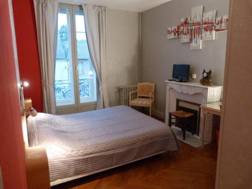
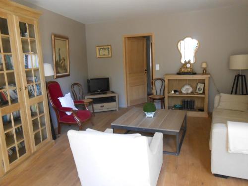
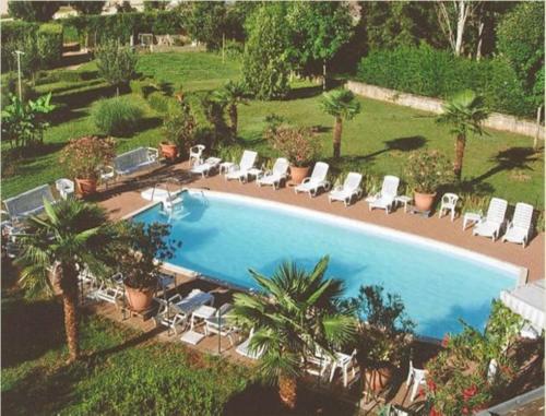
Hotel : Hôtel Restaurant du Cheval Blanc

Located in the Bourgogne region, Hôtel Restaurant du Cheval Blanc features a traditional restaurant and an outdoor swimming pool with sun loungers. Free Wi-Fi and private parkin...
Rate : from 76.00 €
to 124.00 €
Address : Grande Rue 71390 Saint-Boil
Distance Hotel - Saules : 1.02 km
|
|
|
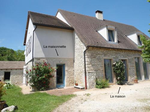
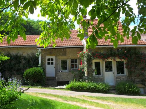
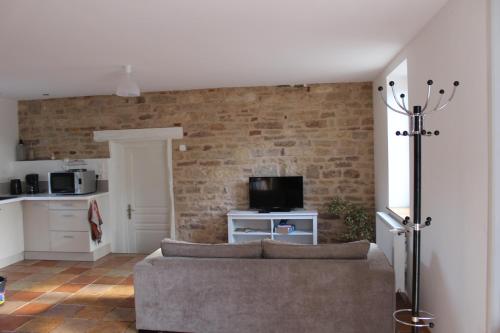
Guest accommodation : Le Haut de Collonge

Featuring free WiFi, Le Haut de Collonge is housed in a refurbished farm and offers accommodation in Saint-Boil. Beaune is 43 km from the property and the Voie Verte Cycling Pat...
Contact : 21, rue Principale Hameau de Collonge 71390 Saint-Boil
Distance Guest accommodation - Saules : 1.82 km
|
|
|
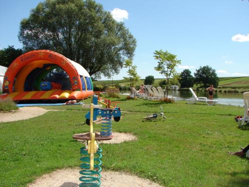
Guest accommodation : Camping Moulin de Collonge
Surrounded by vineyards, Camping Moulin de Collonge is located 1 km from Saint-Boil and offers a heated swimming pool, a wellness centre, bouncy slide and tennis table. This cam...
Contact : Moulin de Collonge 71390 Saint-Boil
Distance Guest accommodation - Saules : 1.83 km
|
|
|
Guest accommodation : Maison De Charme En Bourgogne
Located in Saint-Gengoux-le-National, a medieval village on the Burgundy Wine Route, this stone holiday home is set on 3 levels and features a furnished terrace with tables, sun...
Contact : 32 Rue Du Commerce 71460 Saint-Gengoux-le-National
Distance Guest accommodation - Saules : 4.74 km
|
|
|
Guest accommodation : Collongette 1
Collongette 1 is situated in Saint-Martin-du-Tartre and offers a garden. The accommodation is 34 km from Chalon-sur-Saône. This holiday home has 2 bedrooms, a TV, and a kitchen...
Address : 71460 Saint-Martin-du-Tartre
Distance Guest accommodation - Saules : 4.87 km
|
|
|
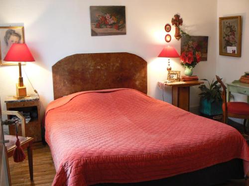
Bed and Breakfast : La Source En Barange
Situated in Buxy, La Source En Barange provides accommodation with free WiFi and access to a garden with a terrace. There is a fully equipped private bathroom with shower and f...
Contact : 4 Rue De La Fontaine De Barange 71390 Buxy
Distance Bed and Breakfast - Saules : 6.27 km
|
|
|
Guest accommodation : Chambres d'hôtes la Graineterie
Situated in Buxy, 49 km from Beaune, Chambres d'hôtes la Graineterie provides a garden and free WiFi. A continental breakfast is available every morning at the property. Chalo...
Rate : from 70.00 €
to 100.00 €
Contact : 77 Grande Rue 71390 Buxy
Distance Guest accommodation - Saules : 6.64 km
|
|
|
Hotel : Le Relais du Montagny
Located in Buxy, Le Relais du Montagny is 5 km from the A6 motorway and 16 km from Chalon-sur-Saône. It offers an outdoor swimming pool, a terrace with sunbeds and individually ...
Price : from 60.00 €
to 85.00 €
Contact : 12 route de Chalon 71390 Buxy
Distance Hotel - Saules : 6.85 km
|
|
|
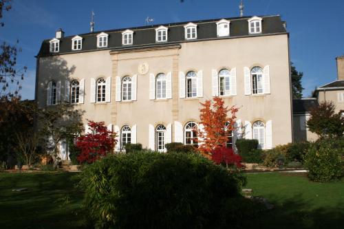
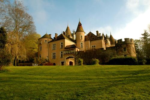
Bed and Breakfast : Chateau de Burnand
Located in south Burgundy, Château de Burnand offers B&B accommodation in a castle and a self-catering cottage, sitting in a 13-hectare park with terrace. Free WiFi in all of th...
Address : Chateau de Burnand 71460 Burnand
Distance Bed and Breakfast - Saules : 7.53 km
|
|
|
Guest accommodation : Au calme
Featuring accommodation with a terrace, Au calme is set in Lalheue. Featuring free WiFi, the property also has barbecue facilities, a garden and a shared lounge. This holiday h...
Rate : from 65.00 €
to 145.00 €
Contact : 21 rue buisson roncin - Lalheue 71240 Lalheue
Distance Guest accommodation - Saules : 8.45 km
|
|
Find another hotel near Saules : Saules hotels list
|
Map of Saules
|
|
Map of Saules :
At right you can find the localization of Saules on the map of France. Below, this is the satellite map of Saules. A road map, and maps templates of Saules are available here : "road map of Saules". This map show Saules seen by the satellite of Google Map. To see the streets of Saules or move on another zone, use the buttons "zoom" and "map" on top of this dynamic map.
Search on the map of Saules :
To search hotels, housings, tourist information office, administrations or other services, use the Google search integrated to the map on the following page : "map Saules".
Hotels of Saules are listed on the map with the following icons: 
The map of Saules is centred in the following coordinates :
|

|
|
|
|
Print the map of Saules

Print the map of Saules : map of Saules
|
Photos Saules
|
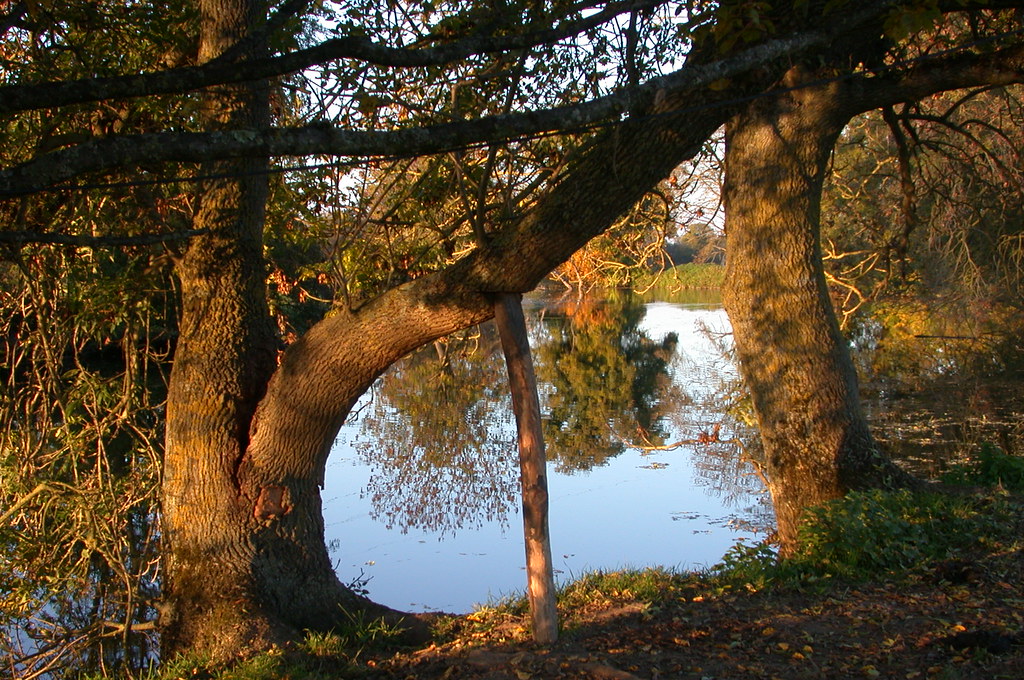
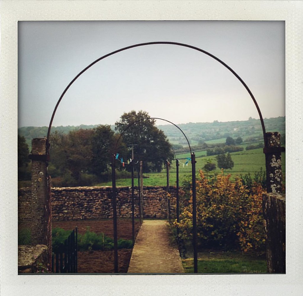
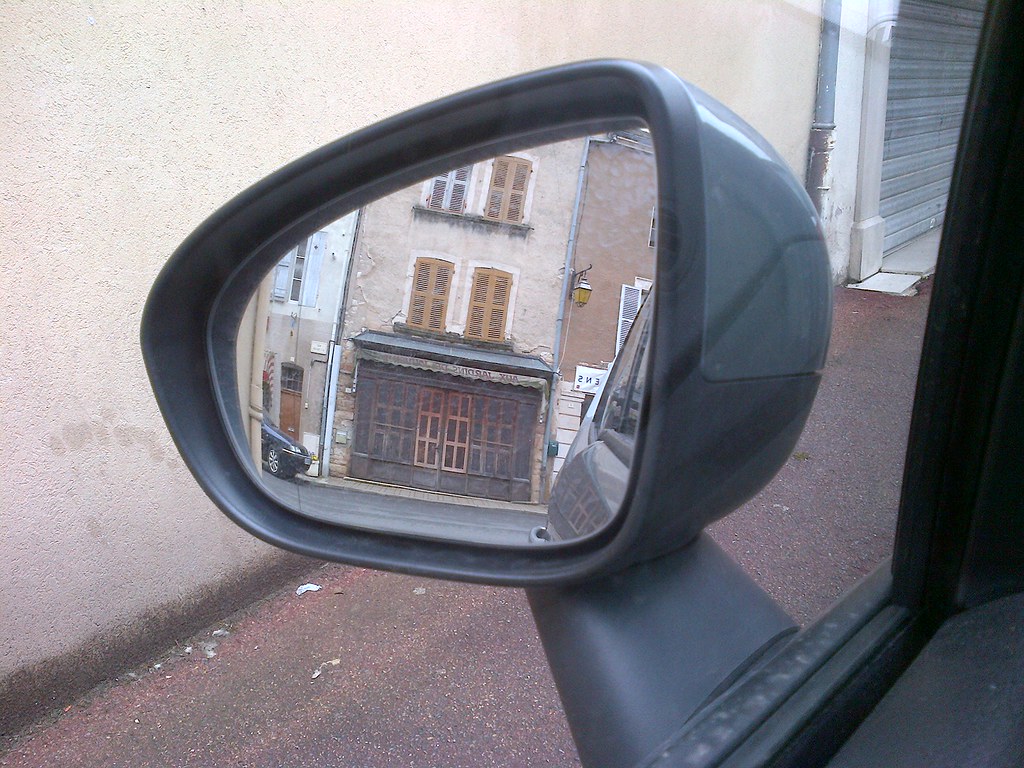
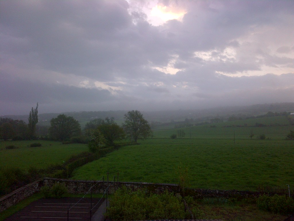
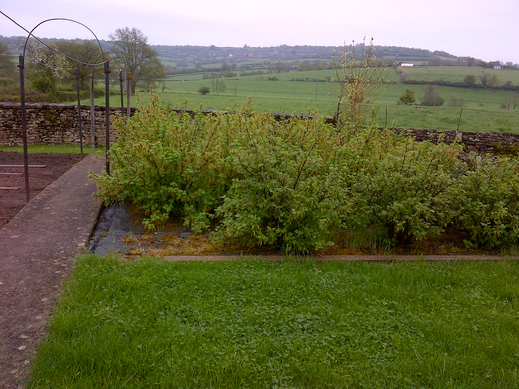
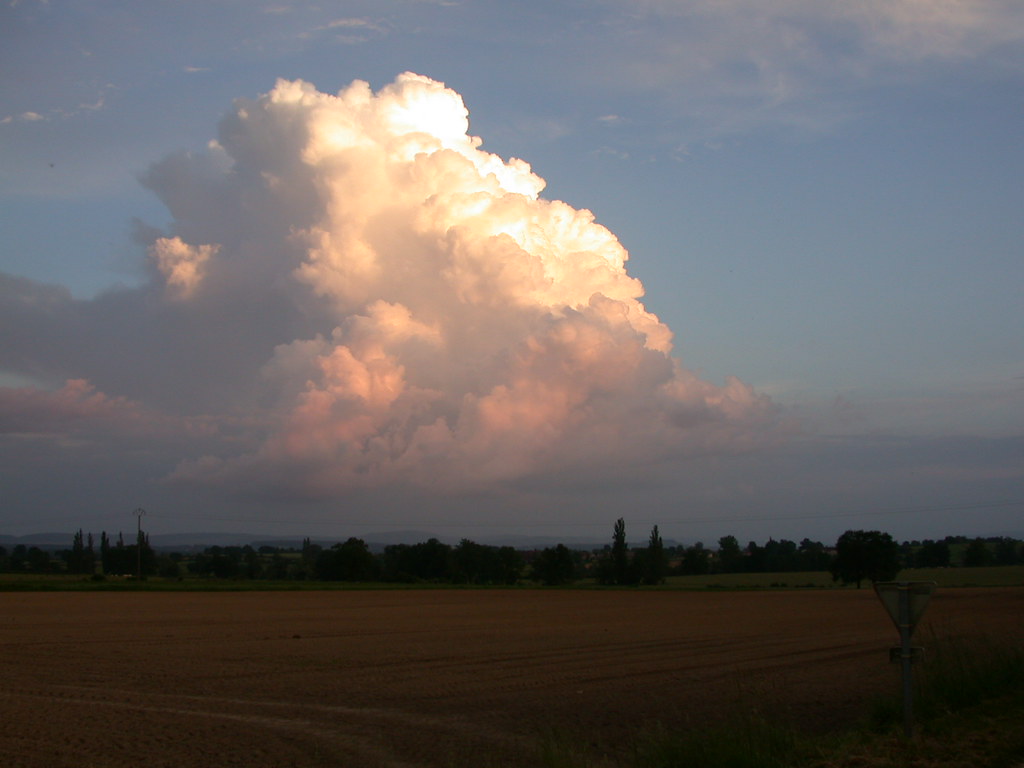
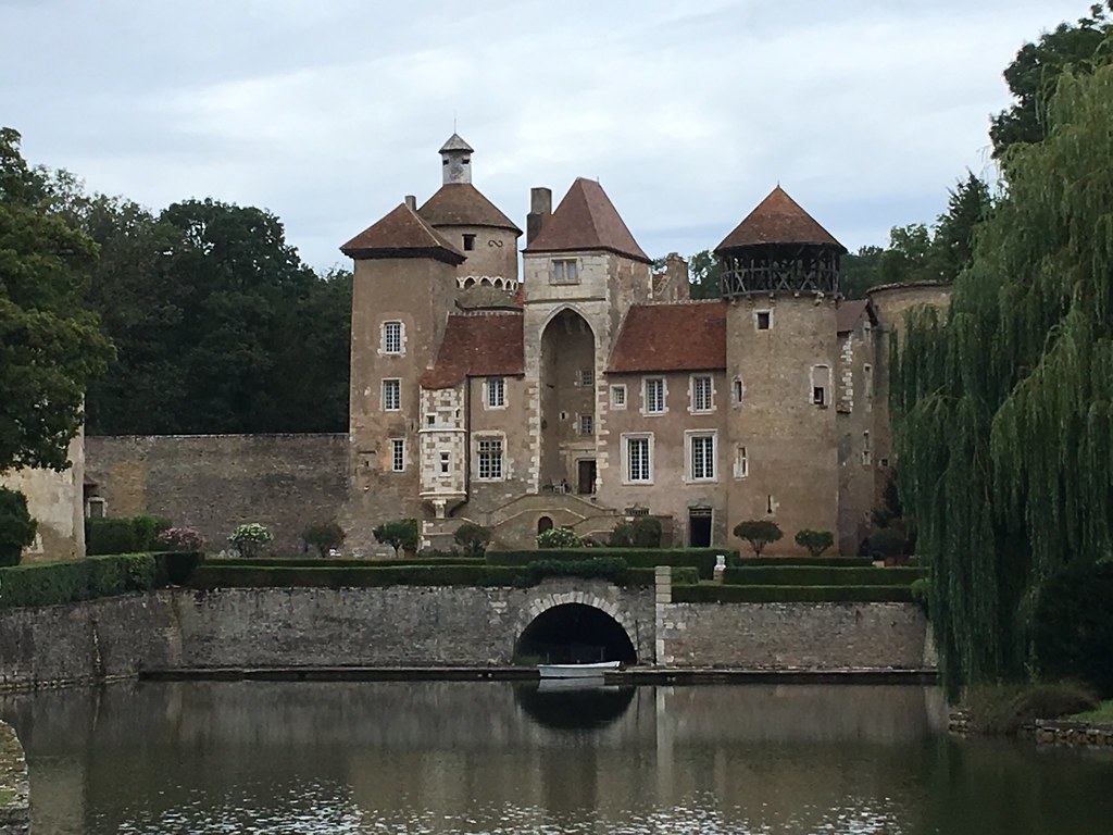
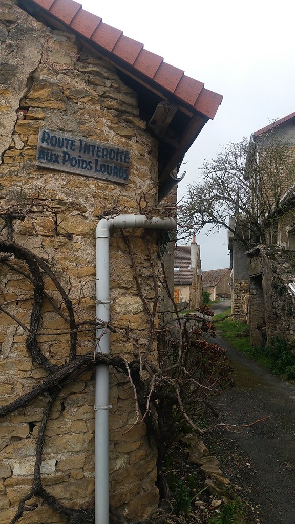
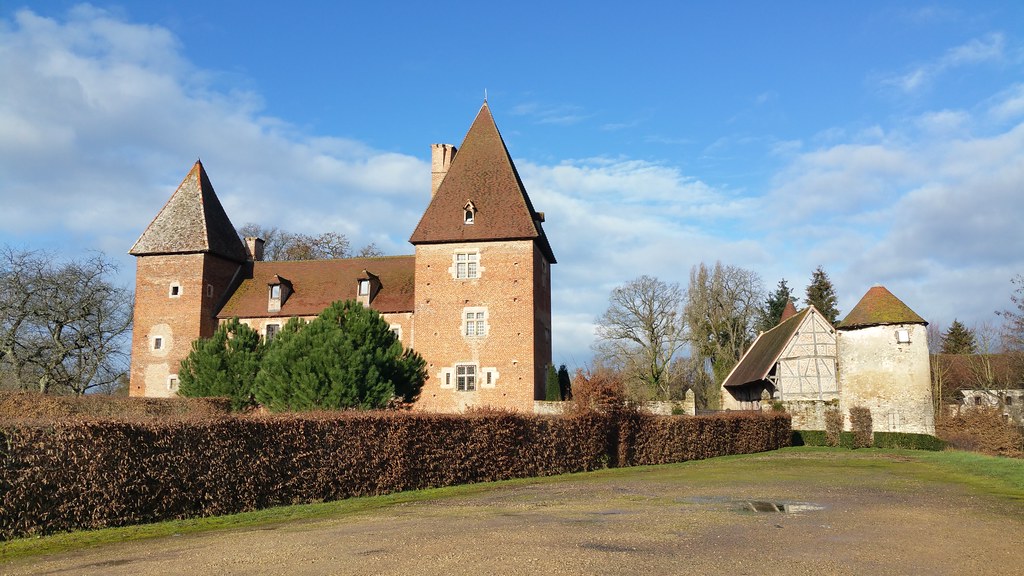
See all photos of Saules :
Other photos of Saules and nearby towns can be found here: photos Saules
|
|
Saules weather forecast
Find next hours and 7 days weather forecast for Saules here : weather Saules (with english metrics)
This is the last weather forecast for Saules collected by the nearest observation station of Buxy.
Week Forecast:
The latest weather data for Saules were collected Tuesday, 30 June 2026 at 15:05 from the nearest observation station of Buxy.
| Tuesday, June 30th |
29°C 19°C
61%
53%
|
Rain
Temperature Max: 29°C Temperature Min: 19°C
Precipitation Probability: 61% (Rain)
Percentage of sky occluded by clouds: 53%
Wind speed: 10 km/h South
Humidity: 60%° UV Index: 6
Sunrise: 05:50 Sunset: 21:39 |
|
| | Wednesday, July 1st |
29°C 18°C
31%
42%
|
Partly cloudy
Temperature Max: 29°C Temperature Min: 18°C
Precipitation Probability: 31% (Rain)
Percentage of sky occluded by clouds: 42%
Wind speed: 12 km/h South-East
Humidity: 53%° UV Index: 6
Sunrise: 05:51 Sunset: 21:38 |
|
| | Thursday, July 2nd |
28°C 16°C
22%
25%
|
Mostly clear
Temperature Max: 28°C Temperature Min: 16°C
Precipitation Probability: 22% (Rain)
Percentage of sky occluded by clouds: 25%
Wind speed: 15 km/h South-East
Humidity: 49%° UV Index: 7
Sunrise: 05:52 Sunset: 21:38 |
|
| | Friday, July 3rd |
29°C 16°C
0%
14%
|
Mostly clear
Temperature Max: 29°C Temperature Min: 16°C
Precipitation Probability: 0%
Percentage of sky occluded by clouds: 14%
Wind speed: 15 km/h South
Humidity: 48%° UV Index: 8
Sunrise: 05:52 Sunset: 21:38 |
|
|
Attribution: 
|
|
Other maps, hotels and towns in france
Find another town, zip code, department, region, ...
Quick links Saules :
Make a link to this page of Saules with the following code :
|
|
|
 French Version : http://www.cartesfrance.fr/carte-france-ville/71503_Saules.html


![Blaireau アナグマ [アナグマ] badger tejón - Photo of Saules](https://farm2.staticflickr.com/1930/30266981997_72dc0a5a96_b.jpg)