Map of France

Sault-lès-Rethel photos


Find a town, a zip code,
a department, a region... in France
I like Map-France.com !


Sault-lès-Rethel pictures


Here are the photos of the town of Sault-lès-Rethel and nearby towns. Sault-lès-Rethel is located in the department of Ardennes in the region of Champagne-Ardenne. You will find the satellite map of Sault-lès-Rethel under these photos.

To see photos of nearby towns of Sault-lès-Rethel, you can try the following links :
   - Photo of Rethel (08300) : town located at 1.42 km
   - Photo of Biermes (08300) : town located at 1.88 km
   - Photo of Acy-Romance (08300) : town located at 2.02 km
   - Photo of Thugny-Trugny (08300) : town located at 4.36 km
   - Photo of Barby (08300) : town located at 4.65 km
   - Photo of Doux (08300) : town located at 4.77 km
   - Photo of Sorbon (08300) : town located at 4.86 km
   - Photo of Bertoncourt (08300) : town located at 5.16 km
   - Photo of Nanteuil-sur-Aisne (08300) : town located at 5.18 km
   - Photo of Perthes (08300) : town located at 5.33 km
   - Photo of Seuil (08300) : town located at 6.56 km
   - Photo of Coucy (08300) : town located at 6.69 km

 - photos of the department prefecture of Ardennes : photos of Charleville-Mézières
 - pictures of others cities of Ardennes : Ardennes


To see Sault-lès-Rethel from the sky, here is the satellite map of the town of Sault-lès-Rethel : Sault-lès-Rethel map.

I like Sault-lès-Rethel !


Photos of the town of Sault-lès-Rethel

These photos taken near the town of Sault-lès-Rethel can be shown in full screen clicking on the thumbnails. Photos are copyrighted by their owners.

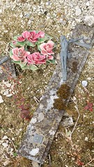
Beschadigd kruisbeeld - Photo of Sault-lès-Rethel
Beschadigd kruisbeeld

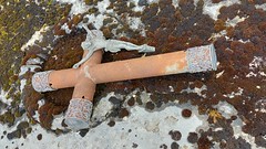
Beschadigd kruisbeeld - Photo of Sault-lès-Rethel
Beschadigd kruisbeeld

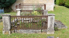
Omgevallen grafstenen - Photo of Sault-lès-Rethel
Omgevallen grafstenen

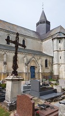
Kerk en Begraafplaats Avancon - Photo of Sault-lès-Rethel
Kerk en Begraafplaats Avancon

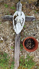
Engel op kruis - Photo of Sault-lès-Rethel
Engel op kruis

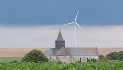
Kerk en windmolen - Photo of Sault-lès-Rethel
Kerk en windmolen

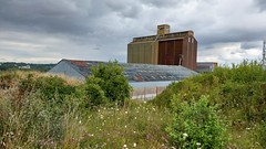
Graanschuur Taizy - Photo of Sault-lès-Rethel
Graanschuur Taizy

Bramen close-up - Photo of Sault-lès-Rethel
Bramen close-up

Kamille - Photo of Sault-lès-Rethel
Kamille

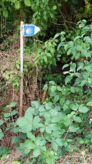
Richtingaanwijzer Via Campaniensis - Photo of Sault-lès-Rethel
Richtingaanwijzer Via Campaniensis

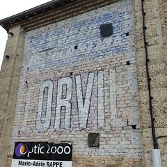
Oude versleten muurreclame - Photo of Sault-lès-Rethel
Oude versleten muurreclame

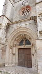
Kerkdeur met Mariabeeld - Photo of Sault-lès-Rethel
Kerkdeur met Mariabeeld

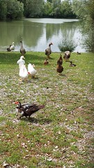
Ganzen en eenden - Photo of Sault-lès-Rethel
Ganzen en eenden

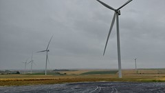
Windmolens in leeg landschap - Photo of Sault-lès-Rethel
Windmolens in leeg landschap


Sault-lès-Rethel from the sky


Old photos of the town of Sault-lès-Rethel

These photos taken near the town of Sault-lès-Rethel can be shown in full screen clicking on the thumbnails. Photos are copyrighted by their owners.


Other maps, hotels and towns in france


Find another town, zip code, department, region, ...


Quick links Sault-lès-Rethel :


Back to the menus Map of France :


Make a link to this page of Sault-lès-Rethel with the following code :


Map of France | Regions | Departments | Cities | Partners | Terms | Contact