|
The village of Savières is a small village located north east of France. The town of Savières is located in the department of Aube of the french region Champagne-Ardenne. The town of Savières is located in the township of Méry-sur-Seine part of the district of Nogent-sur-Seine. The area code for Savières is 10368 (also known as code INSEE), and the Savières zip code is 10600.
Geography and map of Savières :
The altitude of the city hall of Savières is approximately 90 meters. The Savières surface is 18.54 km ². The latitude and longitude of Savières are 48.408 degrees North and 3.953 degrees East.
Nearby cities and towns of Savières are :
Chauchigny (10170) at 2.09 km, Villacerf (10600) at 2.99 km, Payns (10600) at 3.42 km, Fontaine-les-Grès (10280) at 3.97 km, Rilly-Sainte-Syre (10280) at 4.15 km, Mergey (10600) at 4.41 km, Saint-Mesmin (10280) at 4.57 km, Le Pavillon-Sainte-Julie (10350) at 5.71 km.
(The distances to these nearby towns of Savières are calculated as the crow flies)
Population and housing of Savières :
The population of Savières was 953 in 1999, 895 in 2006 and 898 in 2007. The population density of Savières is 48.44 inhabitants per km². The number of housing of Savières was 380 in 2007. These homes of Savières consist of 346 main residences, 8 second or occasional homes and 25 vacant homes. |
|
|
Hotel Savières
|
|
|
Book now ! Best Price Guaranteed, no booking fees, pay at the hotel with our partner Booking.com, leader in online hotel reservation.
Find all hotels of Savières : Hotel Savières
| |
|
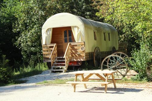
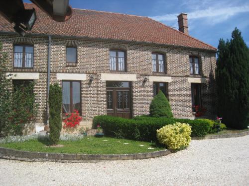
Guest accommodation : Maison De Vacances - Rilly
Situated in Rilly-Sainte-Syre, Maison De Vacances - Rilly offers accommodation with a private pool. Guests staying at this holiday home have access to a fully equipped kitchen. ...
Address : 10280 Rilly-Sainte-Syre
Distance Guest accommodation - Savières : 3.95 km
|
|
|
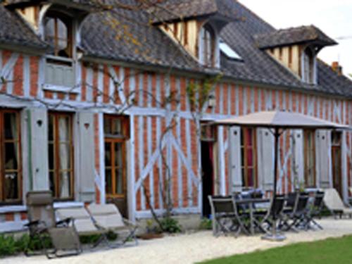
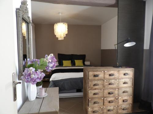
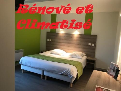
Bed and Breakfast : Domaine de Vermoise
Located in Sainte-Maure in the Champagne - Ardenne region, Domaine de Vermoise offers accommodation with free WiFi. All units feature air conditioning and a flat-screen TV. Th...
Price : from 110.00 €
to 150.00 €
Contact : Chateau de Vermoise, Route de Vermoise 10150 Sainte-Maure
Distance Bed and Breakfast - Savières : 8.01 km
|
|
|
Guest accommodation : Western City Troyes
Western City offers self-catering accommodation in country western-style bungalows and wooden caravans. The accommodation is set in a 8.5-hectare park. All bungalows and carava...
Prices : from 100.00 €
to 165.00 €
Contact : 17 Route de Sainte Maure 10600 Barberey-Saint-Sulpice
Distance Guest accommodation - Savières : 9.55 km
|
|
|
Apartment : Gîte de charme
Featuring accommodation with a terrace, Gîte de charme is situated in Barberey-Saint-Sulpice. This apartment provides accommodation with a balcony. Situated on the ground floor...
Contact : 2 Route de Méry sur Seine 10600 Barberey-Saint-Sulpice
Distance Apartment - Savières : 9.61 km
|
|
|
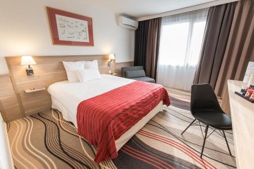
Hotel : Golden Tulip Troyes

Hotel Golden Tulip Troyes Aeroport is located just 1 km from the Troyes-Barberey Airport in the Champagne-Ardenne region. It offers free Wi-Fi access and has an outdoor swimming...
Price : from 59.50 €
to 120.00 €
Address : RD619 - Route de l'Aéroport 10600 Barberey-Saint-Sulpice
Distance Hotel - Savières : 10.08 km
|
|
|
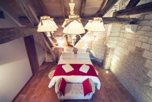
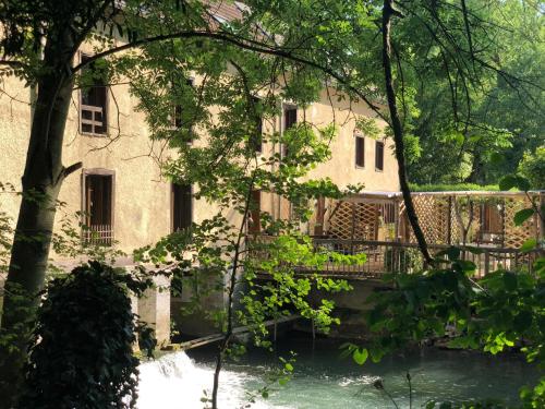
Guest accommodation : La Residence du Moulin
Offering a sun terrace, La Residence du Moulin avec piscine intérieure is situated in Sainte-Maure in the Champagne - Ardenne Region, 6 km from Troyes. Free private parking is a...
Prices : from 150.00 €
to 165.00 €
Contact : 6 Route de Barberey 10150 Sainte-Maure
Distance Guest accommodation - Savières : 10.22 km
|
|
|
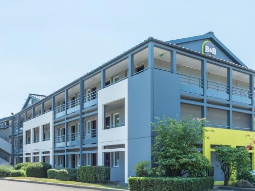
Hotel : B&B Hôtel TROYES Barberey
Located in Barberey-Saint-Sulpice, B&B Hôtel TROYES Barberey offers free WiFi access and free private parking. Free WiFi is offered and free private parking is available on site...
Rate : from 51.00 €
to 111.00 €
Contact : 5 Rue des Nozeaux 10600 Barberey-Saint-Sulpice
Distance Hotel - Savières : 10.77 km
|
|
|
Hotel : Brit Hotel Essentiel Troyes Aéroport
Situated a 11-minute drive from the city centre and a 8-minute drive from the factory outlet stores, Brit Hotel Essentiel Troyes Aéroport offers modern and comfortable accommoda...
Price : from 40.00 €
to 118.00 €
Contact : 6 Rue Rene Descartes 10600 La Chapelle-Saint-Luc
Distance Hotel - Savières : 10.89 km
|
|
|
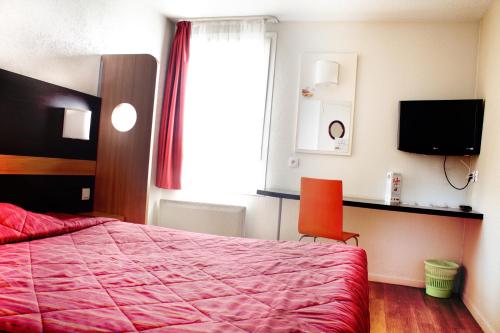
Hotel : Premiere Classe Troyes - La Chapelle Saint Luc
This Premiere Classe hotel is located in the centre of La Chapelle-Saint-Luc, just 2 km from Troyes-Barberey Airport. It offers free Wi-Fi internet access and free parking. Pr...
Prices : from 33.60 €
to 74.55 €
Address : 5 rue Rene Descartes 10600 La Chapelle-Saint-Luc
Distance Hotel - Savières : 10.94 km
|
|
|
Bed and Breakfast : La Chambre D'amis
Offering a sauna, La Chambre D'amis is set in Montgueux in the Champagne - Ardenne Region, 9 km from Troyes. Free WiFi is featured and free private parking is available on site....
Rate : from 77.00 €
to 92.00 €
Contact : 1 Rue Creuse 10300 Montgueux
Distance Bed and Breakfast - Savières : 11.55 km
|
|
Find another hotel near Savières : Savières hotels list
|
Map of Savières
|
|
Map of Savières :
At right you can find the localization of Savières on the map of France. Below, this is the satellite map of Savières. A road map, and maps templates of Savières are available here : "road map of Savières". This map show Savières seen by the satellite of Google Map. To see the streets of Savières or move on another zone, use the buttons "zoom" and "map" on top of this dynamic map.
Search on the map of Savières :
To search hotels, housings, tourist information office, administrations or other services, use the Google search integrated to the map on the following page : "map Savières".
Hotels of Savières are listed on the map with the following icons: 
The map of Savières is centred in the following coordinates :
|

|
|
|
|
Print the map of Savières

Print the map of Savières : map of Savières
|
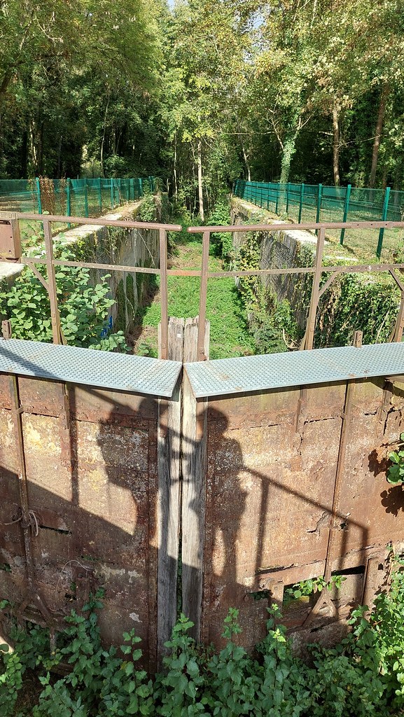
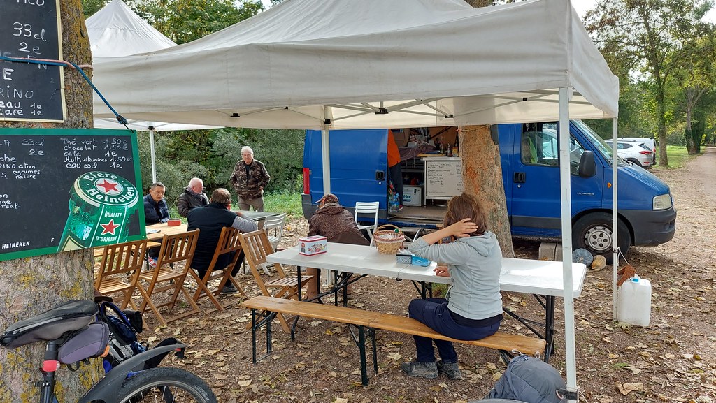
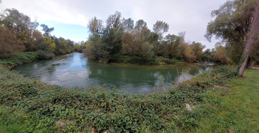
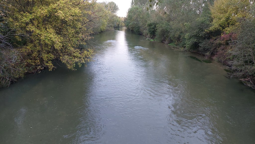
Photos Savières
|
See all photos of Savières :
Other photos of Savières and nearby towns can be found here: photos Savières
|
|
Savières weather forecast
Find next hours and 7 days weather forecast for Savières here : weather Savières (with english metrics)
This is the last weather forecast for Savières collected by the nearest observation station of Méry-sur-Seine.
Week Forecast:
The latest weather data for Savières were collected Friday, 31 July 2026 at 19:01 from the nearest observation station of Méry-sur-Seine.
| Friday, July 31st |
29°C 18°C
29%
81%
|
Mostly cloudy
Temperature Max: 29°C Temperature Min: 18°C
Precipitation Probability: 29% (Rain)
Percentage of sky occluded by clouds: 81%
Wind speed: 9 km/h South-East
Humidity: 62%° UV Index: 5
Sunrise: 06:17 Sunset: 21:23 |
|
| | Saturday, August 1st |
28°C 17°C
0%
56%
|
Partly cloudy
Temperature Max: 28°C Temperature Min: 17°C
Precipitation Probability: 0%
Percentage of sky occluded by clouds: 56%
Wind speed: 8 km/h South-East
Humidity: 54%° UV Index: 6
Sunrise: 06:18 Sunset: 21:22 |
|
| | Sunday, August 2nd |
31°C 16°C
0%
16%
|
Mostly clear
Temperature Max: 31°C Temperature Min: 16°C
Precipitation Probability: 0%
Percentage of sky occluded by clouds: 16%
Wind speed: 7 km/h Sout-East
Humidity: 45%° UV Index: 7
Sunrise: 06:20 Sunset: 21:20 |
|
| | Monday, August 3rd |
34°C 19°C
46%
83%
|
Rain
Temperature Max: 34°C Temperature Min: 19°C
Precipitation Probability: 46% (Rain)
Percentage of sky occluded by clouds: 83%
Wind speed: 11 km/h North
Humidity: 53%° UV Index: 5
Sunrise: 06:21 Sunset: 21:19 |
|
|
Attribution: 
|
|
Other maps, hotels and towns in france
Find another town, zip code, department, region, ...
Quick links Savières :
Make a link to this page of Savières with the following code :
|
|
|
 French Version : http://www.cartesfrance.fr/carte-france-ville/10368_Savieres.html