|
The city of Taninges is a small town located south east of France. The city of Taninges is located in the department of Haute-Savoie of the french region Rhône-Alpes. The city of Taninges is located in the township of Taninges part of the district of Bonneville. The area code for Taninges is 74276 (also known as code INSEE), and the Taninges zip code is 74440.
Geography and map of Taninges :
The altitude of the city hall of Taninges is approximately 640 meters. The Taninges surface is 42.66 km ². The latitude and longitude of Taninges are 46.107 degrees North and 6.594 degrees East.
Nearby cities and towns of Taninges are :
Châtillon-sur-Cluses (74300) at 2.38 km, La Rivière-Enverse (74440) at 3.70 km, Saint-Sigismond (74300) at 4.46 km, Cluses (74300) at 5.52 km, Thyez (74300) at 6.14 km, Mieussy (74440) at 6.23 km, Verchaix (74440) at 6.49 km, Scionzier (74950) at 6.74 km.
(The distances to these nearby towns of Taninges are calculated as the crow flies)
Population and housing of Taninges :
The population of Taninges was 3 138 in 1999, 3 394 in 2006 and 3 441 in 2007. The population density of Taninges is 80.66 inhabitants per km². The number of housing of Taninges was 3 047 in 2007. These homes of Taninges consist of 1 334 main residences, 1 601 second or occasional homes and 111 vacant homes. |
|
|
Hotel Taninges
|
|
|
Book now ! Best Price Guaranteed, no booking fees, pay at the hotel with our partner Booking.com, leader in online hotel reservation.
Find all hotels of Taninges : Hotel Taninges
| |
|
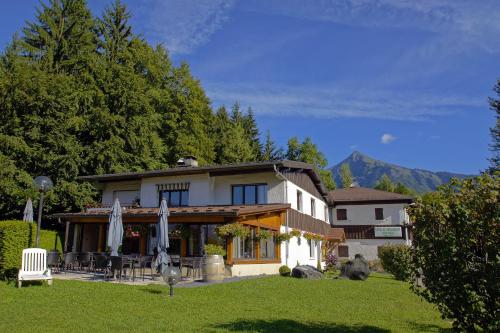
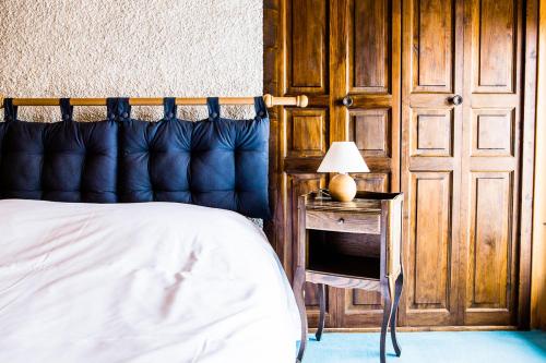
Apartment : Les Terrasses du Mont blanc
Les Terrasses du Mont blanc, boasting ski-to-door access and water sports facilities, is located in Le Praz de Lys, 14 km from Téléski de Canevet and 15 km from Télésiège de Roy...
Address : Le Praz de Lys les terrasse du Mont Blanc app 67 74440 Le Praz de Lys
Distance Apartment - Taninges : 0.32 km
|
|
|
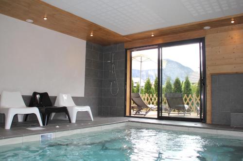
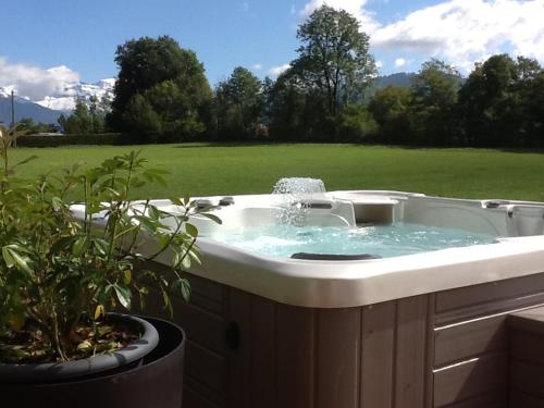
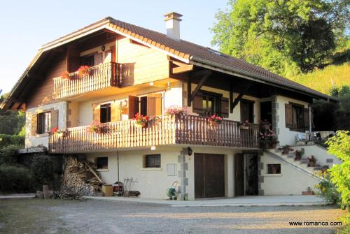
Guest accommodation : Gîte Balnéo Au Coeur des Alpes
Gîte Balnéo Au Coeur des Alpes offers fully-equipped chalets with one or 2 bedrooms. Located in Taninge, those accommodations will give you access to a hot tub, an indoor and he...
Contact : 522 Route de Chamfleury 74440 Taninges
Distance Guest accommodation - Taninges : 0.51 km
|
|
|
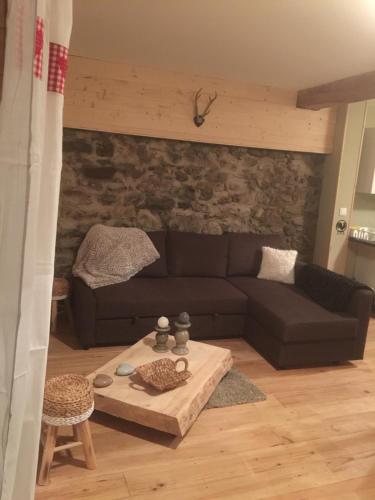
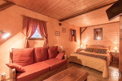
Guest accommodation : La Ferme Sainte Catherine
Located in Taninges, 14 km from Téléski du Jora and 14 km from Beuloz Ski Lift, La Ferme Sainte Catherine offers a restaurant. Some units also have a kitchen equipped with an o...
Prices : from 80.00 €
to 120.00 €
Contact : 156 Route de Flerier 74440 Taninges
Distance Guest accommodation - Taninges : 0.75 km
|
|
|
Apartment : Le Chalet Du Pic

Offering a spa centre, Le Chalet Du Pic is located in Taninges. The accommodation features a hot tub. Geneva and Chamonix are within 50 km from the property. Free WiFi is offere...
Contact : 321 ROUTE DE SUR MARCELLY 74440 Taninges
Distance Apartment - Taninges : 1.24 km
|
|
|
Hotel : Hotel Restaurant Le Bois du Seigneur
Featuring a garden and a sun terrace, Hotel Restaurant Le Bois du Seigneur is located in Châtillon-sur-Cluses. Free WiFi access is available. Each guestroom offers views of the...
Price : from 70.00 €
to 90.00 €
Address : 10 Chemin du Bois du Seigneur 74300 Châtillon-sur-Cluses
Distance Hotel - Taninges : 1.87 km
|
|
|
Bed and Breakfast : Chambres d'hôtes La Simoniere
B&B La Simoniere features accommodation in Châtillon-sur-Cluses. Among the various facilities are barbecue facilities and a terrace. Free WiFi is available and the owners speak ...
Contact : Lieu dit Balmotte 95 Impasse du Bois Blanc 74300 Châtillon-sur-Cluses
Distance Bed and Breakfast - Taninges : 2.00 km
|
|
|
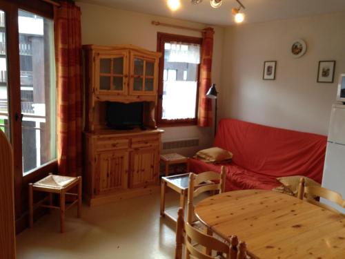
Apartment : Praz de lys - Le Planey Appartement 4/6 couchages
Contact : Le praz de Lys Le Planey 74440 Taninges
Distance Apartment - Taninges : 2.50 km
|
|
|
Hotel : Le Taconet
Featuring ski-to-door access, a garden as well as a terrace, Le Taconet is set in Le Praz de Lys, 200 metres from Téléski de Canevet. Featuring a bar, the property is located wi...
Price : from 100.00 €
to 180.00 €
Contact : Le Pontet 74440 Le Praz de Lys
Distance Hotel - Taninges : 3.32 km
|
|
|
Apartment : Chambre d'hôte Romarica
Chambre d'hôte Romarica is located in Saint-Sigismond, just 8 km from the ski slopes in Les Carroz d'Arraches. It offers a studio with a private terrace and views of the mountai...
Address : 450 Les Bas-Choseaux 74300 Saint-Sigismond
Distance Apartment - Taninges : 3.55 km
|
|
|
Apartment : Prazdelys
Located 500 metres from Téléski de Brésy in Le Praz de Lys, Prazdelys offers accommodation with a kitchen. Guests have a private terrace. This apartment with mountain views has...
Contact : Lieu dit La Savoliere 74440 Le Praz de Lys
Distance Apartment - Taninges : 3.72 km
|
|
Find another hotel near Taninges : Taninges hotels list
|
Map of Taninges
|
|
Map of Taninges :
At right you can find the localization of Taninges on the map of France. Below, this is the satellite map of Taninges. A road map, and maps templates of Taninges are available here : "road map of Taninges". This map show Taninges seen by the satellite of Google Map. To see the streets of Taninges or move on another zone, use the buttons "zoom" and "map" on top of this dynamic map.
Search on the map of Taninges :
To search hotels, housings, tourist information office, administrations or other services, use the Google search integrated to the map on the following page : "map Taninges".
Hotels of Taninges are listed on the map with the following icons: 
The map of Taninges is centred in the following coordinates :
|

|
|
|
|
Print the map of Taninges

Print the map of Taninges : map of Taninges
|
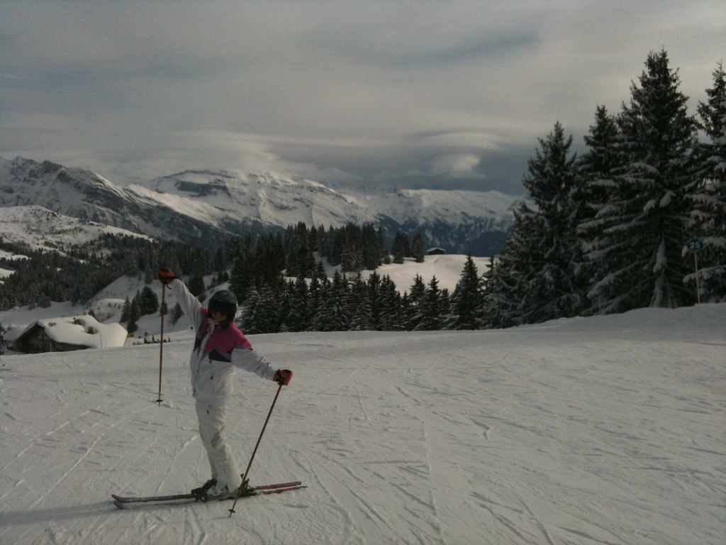
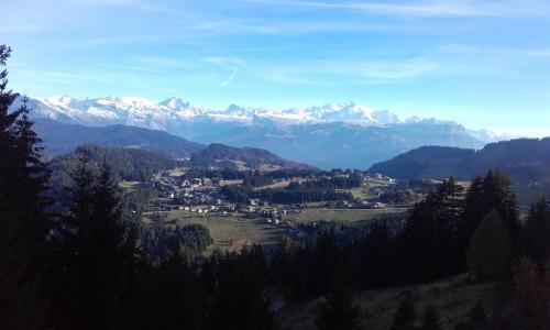
Photos Taninges
|
See all photos of Taninges :
Other photos of Taninges and nearby towns can be found here: photos Taninges
|
|
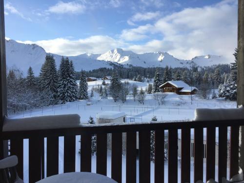
Taninges weather forecast
Find next hours and 7 days weather forecast for Taninges here : weather Taninges (with english metrics)
This is the last weather forecast for Taninges collected by the nearest observation station of Taninges.
Week Forecast:
The latest weather data for Taninges were collected Friday, 31 July 2026 at 08:05 from the nearest observation station of Taninges.
| Friday, July 31st |
30°C 19°C
69%
62%
|
Thunderstorms
Temperature Max: 30°C Temperature Min: 19°C
Precipitation Probability: 69% (Rain)
Percentage of sky occluded by clouds: 62%
Wind speed: 7 km/h North-East
Humidity: 48%° UV Index: 6
Sunrise: 06:14 Sunset: 21:04 |
|
| | Saturday, August 1st |
29°C 18°C
41%
33%
|
Drizzle
Temperature Max: 29°C Temperature Min: 18°C
Precipitation Probability: 41% (Rain)
Percentage of sky occluded by clouds: 33%
Wind speed: 5 km/h East
Humidity: 58%° UV Index: 7
Sunrise: 06:15 Sunset: 21:03 |
|
| | Sunday, August 2nd |
31°C 17°C
11%
16%
|
Mostly clear
Temperature Max: 31°C Temperature Min: 17°C
Precipitation Probability: 11% (Rain)
Percentage of sky occluded by clouds: 16%
Wind speed: 5 km/h East
Humidity: 46%° UV Index: 8
Sunrise: 06:16 Sunset: 21:02 |
|
| | Monday, August 3rd |
32°C 19°C
40%
42%
|
Drizzle
Temperature Max: 32°C Temperature Min: 19°C
Precipitation Probability: 40% (Rain)
Percentage of sky occluded by clouds: 42%
Wind speed: 6 km/h North-East
Humidity: 40%° UV Index: 7
Sunrise: 06:18 Sunset: 21:00 |
|
|
Attribution: 
|
|
Other maps, hotels and towns in france
Find another town, zip code, department, region, ...
Quick links Taninges :
Make a link to this page of Taninges with the following code :
|
|
|
 French Version : http://www.cartesfrance.fr/carte-france-ville/74276_Taninges.html