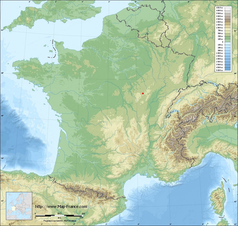
Thorey-sous-Charny on the relief France map in Lambert 93 coordinates
|

See the map of Thorey-sous-Charny in full screen (1000 x 949)
|
At left, here is the location of Thorey-sous-Charny on the relief France map in Lambert 93 coordinates.
Here are the altitudes of Thorey-sous-Charny :
- Town hall altitude of Thorey-sous-Charny is 380 meters
- Minimum altitude of Thorey-sous-Charny is 331 meters
- Maximum altitude of Thorey-sous-Charny is 561 meters
- Medium altitude of Thorey-sous-Charny is 446 meters
Here are the altitudes of Dijon, prefecture of Côte-d'Or department:
- Town hall altitude of Dijon is 245 meters
- Minimum altitude of Dijon is 220 meters
- Maximum altitude of Dijon is 410 meters
- Medium altitude of Dijon is 315 meters
Here are the altitudes of the french biggest cities:
Paris : 33 meters
Marseille : 20 meters
Lyon : 237 meters
Toulouse : 146 meters
Nice : 10 meters
Nantes : 20 meters
Strasbourg : 144 meters
Montpellier : 35 meters
Bordeaux : 16 meters
Lille : 20 meters
Rennes : 35 meters
Reims : 83 meters
Click here for the terrain map of Thorey-sous-Charny in full screen:
Relief map of Thorey-sous-Charny
|
This relief map of Thorey-sous-Charny is reusable and modifiable by making a link to this page of the Map-France.com website or by using the given code :
|
Terrain base map of Thorey-sous-Charny
|
See the terrain base map of Thorey-sous-Charny in full screen (1000 x 949)
|
Small relief base map of Thorey-sous-Charny

|
This base map of Thorey-sous-Charny is reusable and modifiable by making a link to this page of the Map-France.com website or by using the given code :
|
Map of Thorey-sous-Charny with regions and prefectures
|
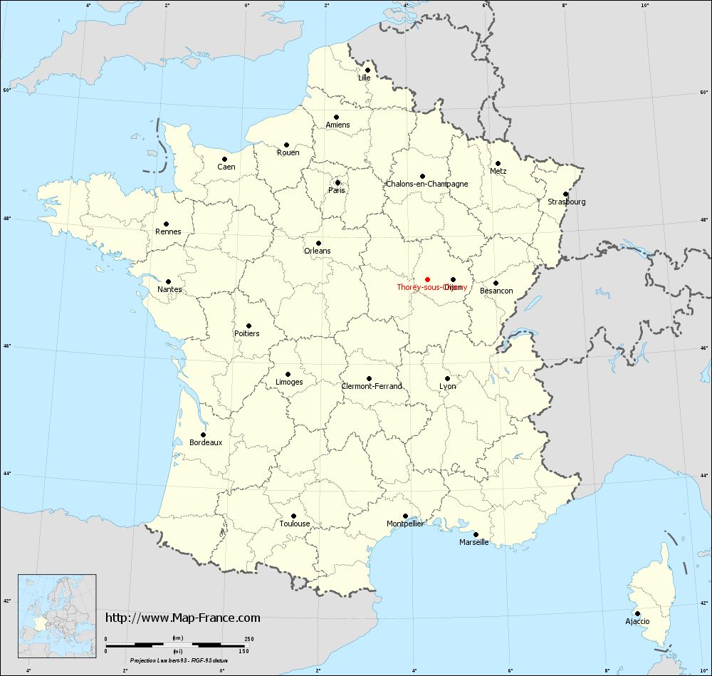
View the map of Thorey-sous-Charny in full screen (1000 x 949)
|
You will find the location of Thorey-sous-Charny on the map of France of regions in Lambert 93 coordinates. The town of Thorey-sous-Charny is located in the department of Côte-d'Or of the french region Bourgogne.
Geographical sexagesimal coordinates / GPS (WGS84):
Latitude: 47° 19' 26'' North
Longitude: 04° 26' 48'' East
Geographical decimal coordinates :
Latitude: 47.324 degrees (47.324° North)
Longitude: 4.447 degrees (4.447° East)
Lambert 93 coordinates :
X: 8 093 hectometers
Y: 66 925 hectometers
Lambert 2 coordinates :
X: 7 595 hectometers
Y: 22 604 hectometers
Below, the geographical coordinates of Dijon, prefecture of the Côte-d'Or department:
Geographical sexagesimal coordinates / GPS (WGS84):
Latitude: 47° 19' 23'' North
Longitude: 05° 02' 31'' East
Geographical decimal coordinates :
Latitude: 47.322 degrees (47.322° North)
Longitude: 5.036 degrees (5.036° East)
Lambert 93 coordinates :
X: 8 542 hectometers
Y: 66 934 hectometers
Lambert 2 coordinates :
X: 8 045 hectometers
Y: 22 617 hectometers
|
This map of Thorey-sous-Charny is reusable and modifiable by making a link to this page of the Map-France.com website or by using the given code :
|
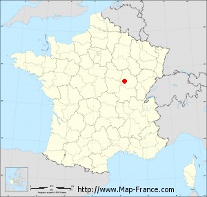
Map of Thorey-sous-Charny with departments and prefectures
|
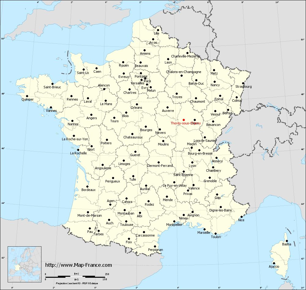
Voir la carte of Thorey-sous-Charny en grand format (1000 x 949)
|
Here is the localization of Thorey-sous-Charny on the France map of departments in Lambert 93 coordinates. The city of Thorey-sous-Charny is shown on the map by a red point.
The town of Thorey-sous-Charny is located in the department of Côte-d'Or of the french region Bourgogne.
The latitude of Thorey-sous-Charny is 47.324 degrees North.
The longitude of Thorey-sous-Charny is 4.447 degrees East.
Here the distance between Thorey-sous-Charny and the biggest cities of France:
Distances are calculated as the crow flies (orthodromic distance)
Distance between Thorey-sous-Charny and Paris : 231.21 kilometers
Distance between Thorey-sous-Charny and Marseille : 453.53 kilometers
Distance between Thorey-sous-Charny and Lyon : 176.31 kilometers
Distance between Thorey-sous-Charny and Toulouse : 475.05 kilometers
Distance between Thorey-sous-Charny and Nice : 457.77 kilometers
Distance between Thorey-sous-Charny and Nantes : 452.45 kilometers
Distance between Thorey-sous-Charny and Strasbourg : 283.19 kilometers
Distance between Thorey-sous-Charny and Montpellier : 415.2 kilometers
Distance between Thorey-sous-Charny and Bordeaux : 475.01 kilometers
Distance between Thorey-sous-Charny and Lille : 381.05 kilometers
Distance between Thorey-sous-Charny and Rennes : 466.12 kilometers
Distance between Thorey-sous-Charny and Reims : 217.05 kilometers
Clic here to see the map of Thorey-sous-Charny in full screen:
Thorey-sous-Charny on the map of french departments
|
This administrative map of Thorey-sous-Charny is reusable and modifiable by making a link to this page of the Map-France.com website or by using the given code :
|
Administrative base maps of Thorey-sous-Charny
|

See the administrative base map of Thorey-sous-Charny in full screen (1000 x 949)
|
Small administrative base map of Thorey-sous-Charny
|
This base map administrative of Thorey-sous-Charny is reusable and modifiable by making a link to this page of the Map-France.com website or by using the given code :
|
 French Version : http://www.cartesfrance.fr