|
|
|
|
|
|
Tourrettes pictures
|
|
|
|
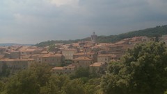
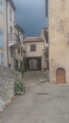
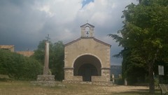
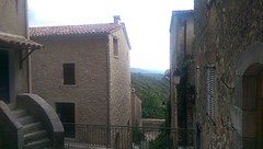
Photos of the city of Tourrettes
|
These photos taken near the city of Tourrettes can be shown in full screen clicking on the thumbnails. Photos are copyrighted by their owners.
| | |
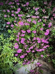
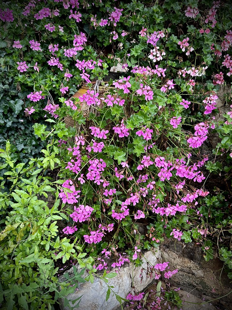
Geraniums in Provence
|
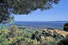
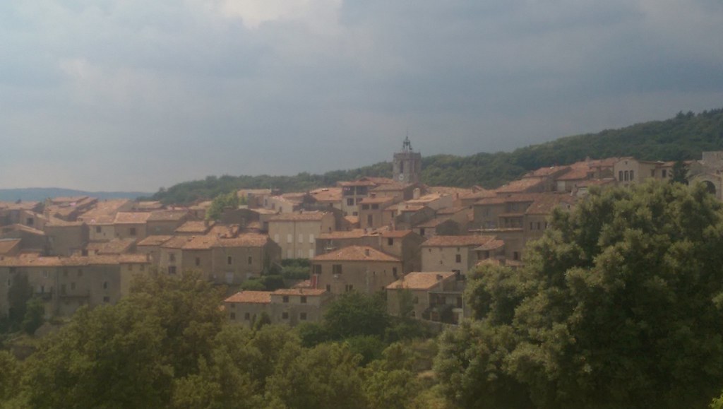
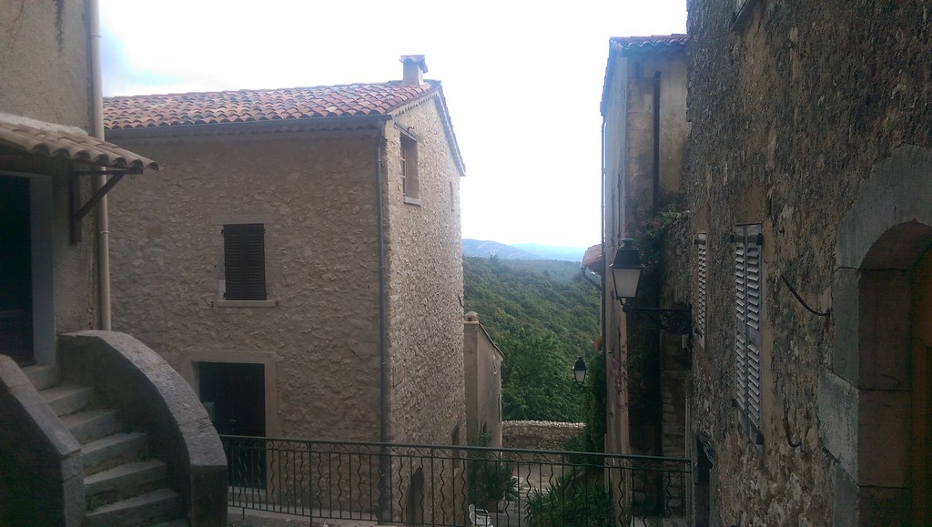
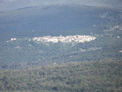
Photo of Tourrettes
|
| |
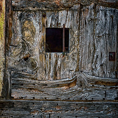
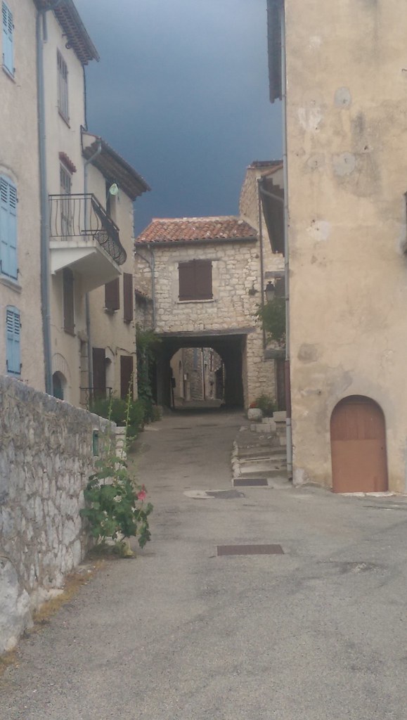
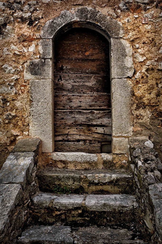
Door detail
|
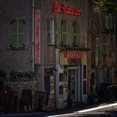
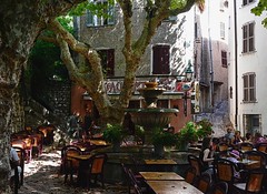
Bar Restaurant
|
| |
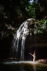
Refreshing
|
201404_0194
|
| |
201404_0195
|
201404_0196
|
| |

201404_0197
|
201404_0198
|
| |

201404_0199
|
201404_0190 - 201404_0193
|
| |
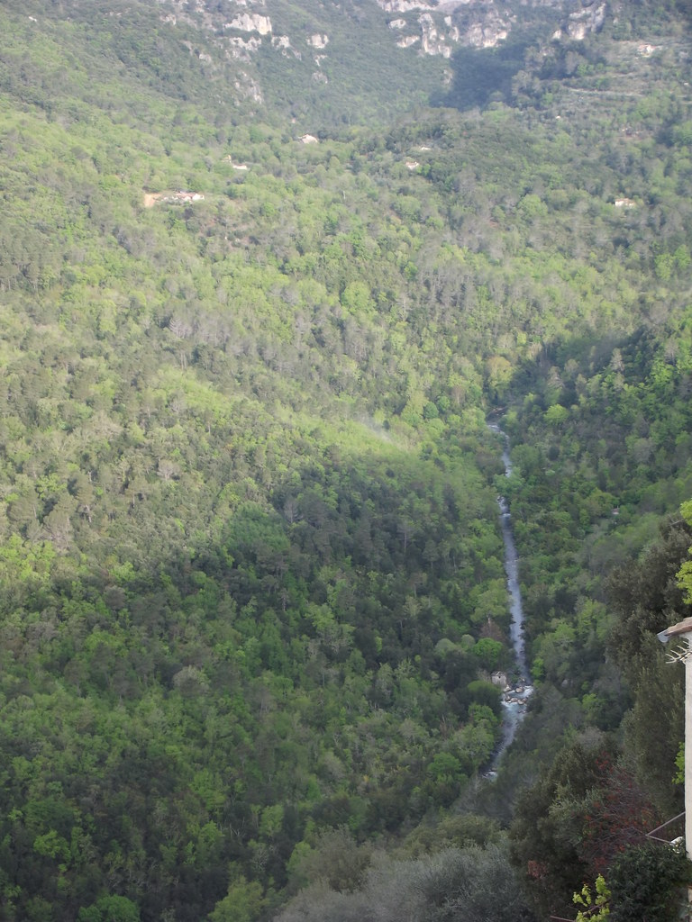
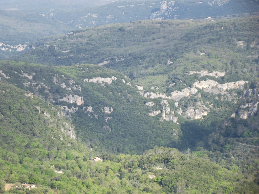
St.Cezaire, France
|
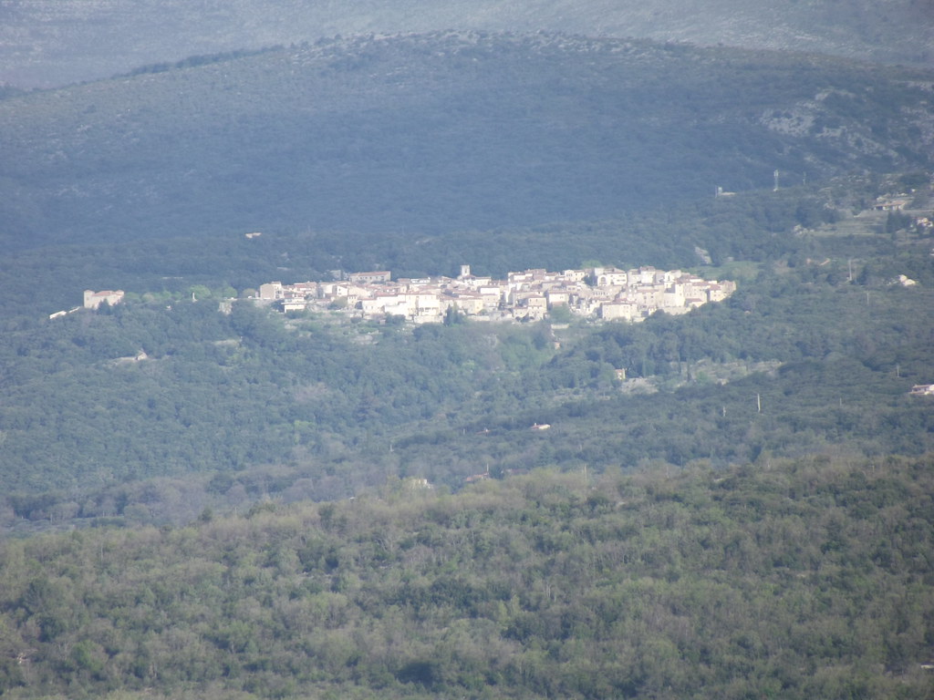
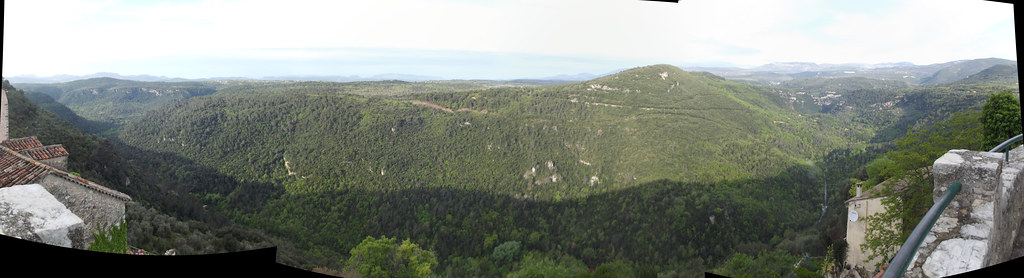
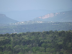
Mons, France
|
| |
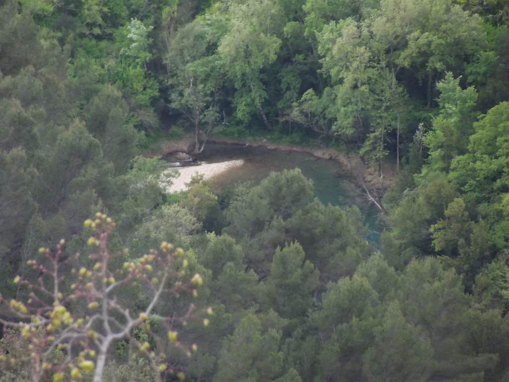
Mons, France
|
Mons, France
|
| |

Mons, France
|
Mons, France
|
| |

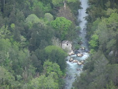
Le Numéro 8
|
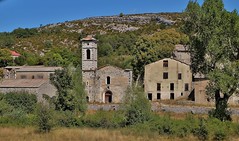
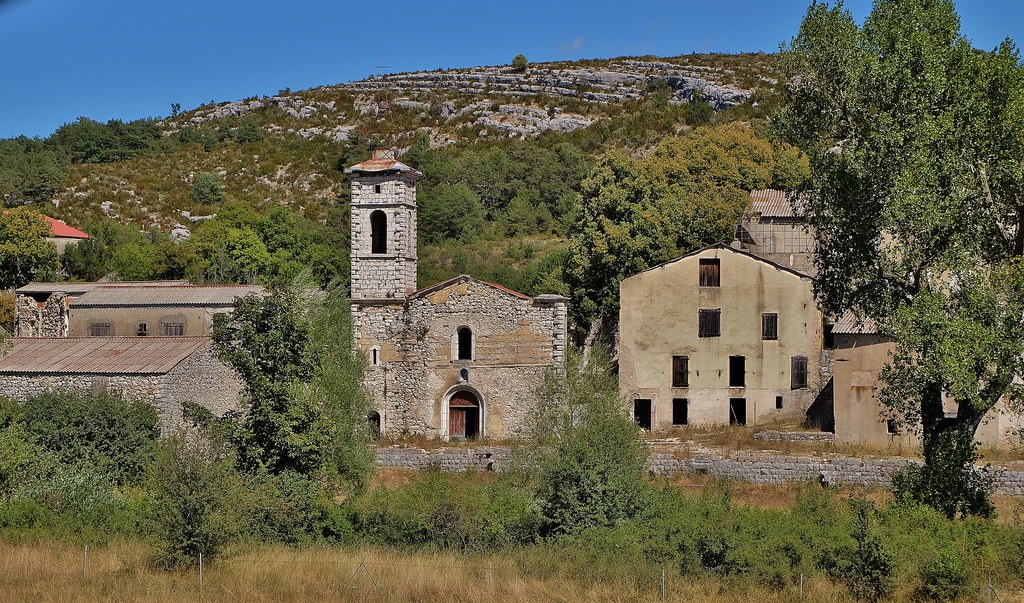
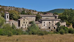
Village abandonné de Broves, camp militaire de Canjuers, Haute Provence,
|
| |
lieu interdit, l-ancien village de Broves, annexé par l-armée française en aout 1970
|
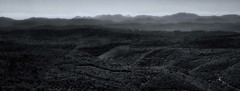
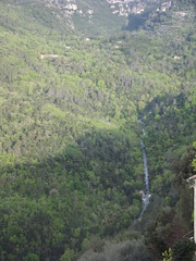
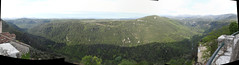
Mediterranean Hillsides
|
| |
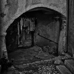
Laundry Day
|
Seillans - La Gloire de mon Père
|
| |
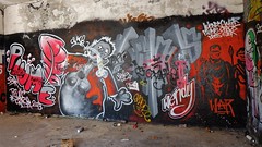
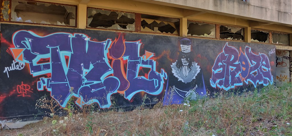
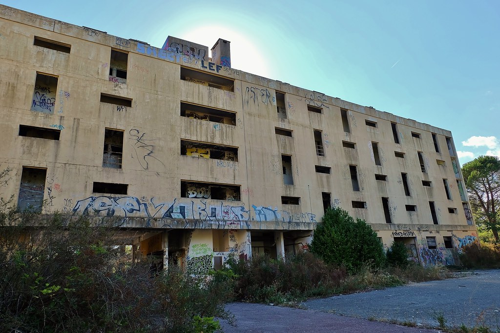
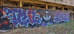
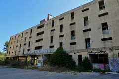
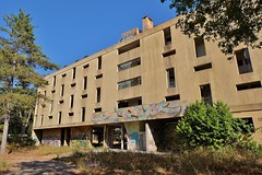
Urbex 2016, Saint Cezaire sur Siagne
|
Urbex 2016, Saint Cezaire sur Siagne
|
| |
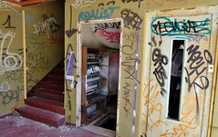
Urbex 2016, Saint Cezaire sur Siagne
|

Urbex 2016, Saint Cezaire sur Siagne
|
| |
Urbex 2016, Saint Cezaire sur Siagne
|
Urbex 2016, Saint Cezaire sur Siagne
|
|
Old photos of the city of Tourrettes
|
These photos taken near the city of Tourrettes can be shown in full screen clicking on the thumbnails. Photos are copyrighted by their owners.
|
|
Other maps, hotels and towns in france
Find another town, zip code, department, region, ...
Quick links Tourrettes :
Back to the menus Map of France :
Make a link to this page of Tourrettes with the following code :
|
|
Map of France | Regions | Departments | Cities | Partners | Terms | Contact
|