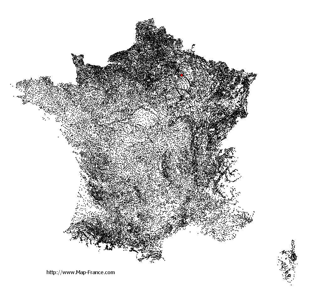
Tours-sur-Marne on the relief France map in Lambert 93 coordinates
|

See the map of Tours-sur-Marne in full screen (1000 x 949)
|
At left, here is the location of Tours-sur-Marne on the relief France map in Lambert 93 coordinates.
Here are the altitudes of Tours-sur-Marne :
- Town hall altitude of Tours-sur-Marne is 80 meters
- Minimum altitude of Tours-sur-Marne is 71 meters
- Maximum altitude of Tours-sur-Marne is 192 meters
- Medium altitude of Tours-sur-Marne is 132 meters
Here are the altitudes of Châlons-en-Champagne, prefecture of Marne department:
- Town hall altitude of Châlons-en-Champagne is 85 meters
- Minimum altitude of Châlons-en-Champagne is 79 meters
- Maximum altitude of Châlons-en-Champagne is 153 meters
- Medium altitude of Châlons-en-Champagne is 116 meters
Here are the altitudes of the french biggest cities:
Paris : 33 meters
Marseille : 20 meters
Lyon : 237 meters
Toulouse : 146 meters
Nice : 10 meters
Nantes : 20 meters
Strasbourg : 144 meters
Montpellier : 35 meters
Bordeaux : 16 meters
Lille : 20 meters
Rennes : 35 meters
Reims : 83 meters
Click here for the terrain map of Tours-sur-Marne in full screen:
Relief map of Tours-sur-Marne
|
This relief map of Tours-sur-Marne is reusable and modifiable by making a link to this page of the Map-France.com website or by using the given code :
|
Terrain base map of Tours-sur-Marne
|

See the terrain base map of Tours-sur-Marne in full screen (1000 x 949)
|
Small relief base map of Tours-sur-Marne

|
This base map of Tours-sur-Marne is reusable and modifiable by making a link to this page of the Map-France.com website or by using the given code :
|
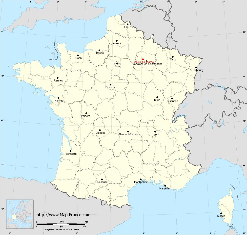
Map of Tours-sur-Marne with regions and prefectures
|
View the map of Tours-sur-Marne in full screen (1000 x 949)
|
You will find the location of Tours-sur-Marne on the map of France of regions in Lambert 93 coordinates. The town of Tours-sur-Marne is located in the department of Marne of the french region Champagne-Ardenne.
Geographical sexagesimal coordinates / GPS (WGS84):
Latitude: 49° 02' 55'' North
Longitude: 04° 07' 11'' East
Geographical decimal coordinates :
Latitude: 49.049 degrees (49.049° North)
Longitude: 4.121 degrees (4.121° East)
Lambert 93 coordinates :
X: 7 819 hectometers
Y: 68 838 hectometers
Lambert 2 coordinates :
X: 7 304 hectometers
Y: 24 516 hectometers
Below, the geographical coordinates of Châlons-en-Champagne, prefecture of the Marne department:
Geographical sexagesimal coordinates / GPS (WGS84):
Latitude: 48° 57' 24'' North
Longitude: 04° 21' 52'' East
Geographical decimal coordinates :
Latitude: 48.957 degrees (48.957° North)
Longitude: 4.362 degrees (4.362° East)
Lambert 93 coordinates :
X: 7 999 hectometers
Y: 68 738 hectometers
Lambert 2 coordinates :
X: 7 486 hectometers
Y: 24 417 hectometers
|
This map of Tours-sur-Marne is reusable and modifiable by making a link to this page of the Map-France.com website or by using the given code :
|
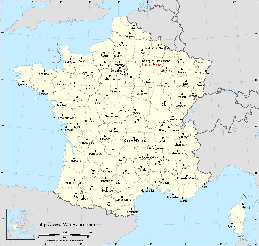
Map of Tours-sur-Marne with departments and prefectures
|
Voir la carte of Tours-sur-Marne en grand format (1000 x 949)
|
Here is the localization of Tours-sur-Marne on the France map of departments in Lambert 93 coordinates. The city of Tours-sur-Marne is shown on the map by a red point.
The town of Tours-sur-Marne is located in the department of Marne of the french region Champagne-Ardenne.
The latitude of Tours-sur-Marne is 49.049 degrees North.
The longitude of Tours-sur-Marne is 4.121 degrees East.
Here the distance between Tours-sur-Marne and the biggest cities of France:
Distances are calculated as the crow flies (orthodromic distance)
Distance between Tours-sur-Marne and Paris : 131.21 kilometers
Distance between Tours-sur-Marne and Marseille : 646.49 kilometers
Distance between Tours-sur-Marne and Lyon : 369.32 kilometers
Distance between Tours-sur-Marne and Toulouse : 639.02 kilometers
Distance between Tours-sur-Marne and Nice : 640.41 kilometers
Distance between Tours-sur-Marne and Nantes : 467.19 kilometers
Distance between Tours-sur-Marne and Strasbourg : 270.82 kilometers
Distance between Tours-sur-Marne and Montpellier : 604.69 kilometers
Distance between Tours-sur-Marne and Bordeaux : 587.32 kilometers
Distance between Tours-sur-Marne and Lille : 191.69 kilometers
Distance between Tours-sur-Marne and Rennes : 438.97 kilometers
Distance between Tours-sur-Marne and Reims : 24.17 kilometers
Clic here to see the map of Tours-sur-Marne in full screen:
Tours-sur-Marne on the map of french departments
|
This administrative map of Tours-sur-Marne is reusable and modifiable by making a link to this page of the Map-France.com website or by using the given code :
|
Administrative base maps of Tours-sur-Marne
|

See the administrative base map of Tours-sur-Marne in full screen (1000 x 949)
|
Small administrative base map of Tours-sur-Marne
|
This base map administrative of Tours-sur-Marne is reusable and modifiable by making a link to this page of the Map-France.com website or by using the given code :
|
 French Version : http://www.cartesfrance.fr