|
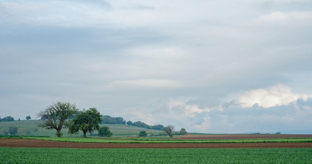
The village of Traenheim is a small village located north east of France. The town of Traenheim is located in the department of Bas-Rhin of the french region Alsace. The town of Traenheim is located in the township of Wasselonne part of the district of Molsheim. The area code for Traenheim is 67492 (also known as code INSEE), and the Traenheim zip code is 67310.
Geography and map of Traenheim :
The altitude of the city hall of Traenheim is approximately 200 meters. The Traenheim surface is 3.10 km ². The latitude and longitude of Traenheim are 48.595 degrees North and 7.466 degrees East.
Nearby cities and towns of Traenheim are :
Westhoffen (67310) at 1.82 km, Odratzheim (67520) at 1.83 km, Bergbieten (67310) at 2.12 km, Scharrachbergheim-Irmstett (67310) at 2.19 km, Balbronn (67310) at 2.41 km, Wangen (67520) at 2.59 km, Dangolsheim (67310) at 2.65 km, Kirchheim (67520) at 2.82 km.
(The distances to these nearby towns of Traenheim are calculated as the crow flies)
Population and housing of Traenheim :
The population of Traenheim was 557 in 1999, 630 in 2006 and 648 in 2007. The population density of Traenheim is 209.03 inhabitants per km². The number of housing of Traenheim was 300 in 2007. These homes of Traenheim consist of 263 main residences, 8 second or occasional homes and 30 vacant homes. |
|
|
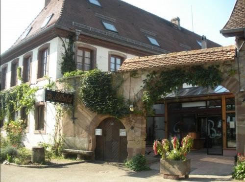
Hotel Traenheim
|
|
|
Book now ! Best Price Guaranteed, no booking fees, pay at the hotel with our partner Booking.com, leader in online hotel reservation.
Find all hotels of Traenheim : Hotel Traenheim
| |
|
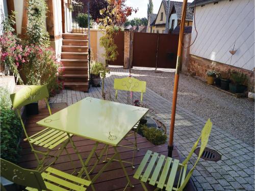
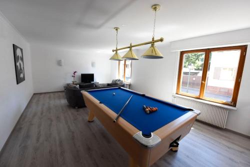
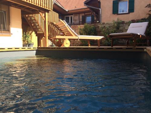
Guest accommodation : Two-Bedroom Holiday Home in Odratzheim

Situated in Odratzheim in the Alsace region, Two-Bedroom Holiday Home in Odratzheim is a 3-star property boasting free WiFi. The accommodation is 23 km from Strasbourg. This ho...
Address : 67520 Odratzheim
Distance Guest accommodation - Traenheim : 1.65 km
|
|
|
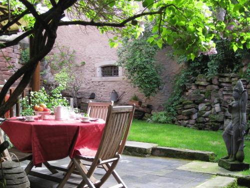
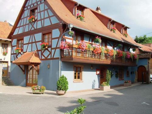
Guest accommodation : La Maison de Caroline
La Maison de Caroline is a self-catering apartment located in central Westhoffen. Free Wi-Fi access is available throughout. Free private parking is possible on site and Obernai...
Contact : 1 rue Traversière 67310 Westhoffen
Distance Guest accommodation - Traenheim : 2.02 km
|
|
|
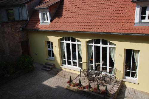
Guest accommodation : La Maison de Georges
La Maison de Georges is located in Scharrachbergheim-Irmstett, in the heart of the Alsatian vineyards. Set on 2 levels, this holiday home is set in a former barn and features a ...
Contact : 64 rue principale 67310 Scharrachbergheim Irmstett
Distance Guest accommodation - Traenheim : 2.08 km
|
|
|
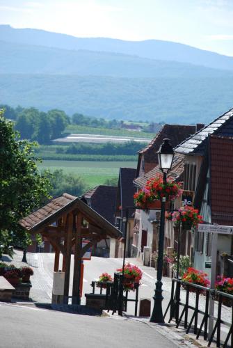
Hotel : Auberge Le Biblenhof
Auberge Le Biblenhof is located in spa town of Soultz, 30 kilometres west of Strasbourg. It offers free private parking and free Wi-Fi is available throughout the hotel. Guestr...
Rate : from 49.00 €
to 86.00 €
Contact : 2 Rue De Biblenheim 67120 Soultz-les-Bains
Distance Hotel - Traenheim : 2.08 km
|
|
|
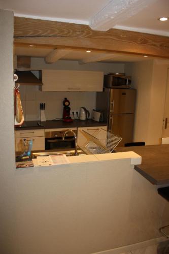
Apartment : Gite du Scharrach
Gite du Scharrach is set in Scharrachbergheim Irmstett. This apartment provides accommodation with a terrace. The apartment includes a kitchen with a dishwasher and a microwave...
Address : 65, rue Principale 67310 Scharrachbergheim Irmstett
Distance Apartment - Traenheim : 2.11 km
|
|
|
Hotel : Hotel Lauth
This 2-star hotel is located in Scharrachberngheim-Irmstett and features a restaurant. Guests can taste the various beers and visit the on-site brewery. All the rooms at Hotel ...
Prices : from 51.00 €
to 79.00 €
Contact : 63 Rue Principale 67310 Scharrachbergheim Irmstett
Distance Hotel - Traenheim : 2.12 km
|
|
|
Guest accommodation : Les Bleuets
Set in Scharrachbergheim Irmstett, Les Bleuets features accommodation with a terrace and free WiFi. The property features garden views. The holiday home includes 3 bedrooms, a ...
Contact : 64 rue principale 67310 Scharrachbergheim Irmstett
Distance Guest accommodation - Traenheim : 2.18 km
|
|
|
Guest accommodation : Gîte Griotte et Cannelle
Offering free bikes, Gîte Griotte et Cannelle is located in Bergbieten. Set in a former farm, the property features an outdoor swimming pool and free WiFi access. All apartment...
Price : from 55.00 €
to 65.00 €
Contact : 3 rue du Couvent 67310 Bergbieten
Distance Guest accommodation - Traenheim : 2.23 km
|
|
|
Guest accommodation : Gite Entre-Deux-Vignes
Located 18 km from Strasbourg, Gite Entre-Deux-Vignes offers accommodation in Scharrachbergheim Irmstett, on the Alsace Wine Route. The property offers a relaxing area with a ha...
Address : 7 Rue de l'Église 67310 Scharrachbergheim Irmstett
Distance Guest accommodation - Traenheim : 2.29 km
|
|
|
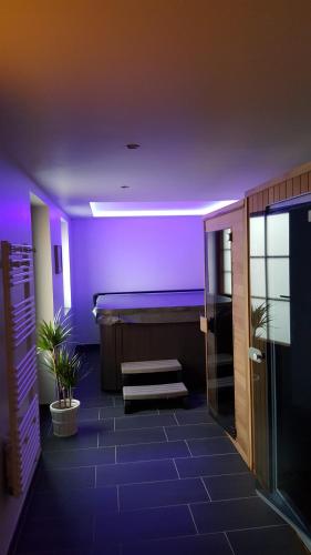
Apartment : Gites des Dix Vins
Located in Dangolsheim, Gites des Dix Vins features free WiFi and units fitted with a kitchen, balcony and seating area. The accommodation has a sauna. Offering pool views, all...
Contact : 5 rue du village 67310 Dangolsheim
Distance Apartment - Traenheim : 2.54 km
|
|
Find another hotel near Traenheim : Traenheim hotels list
|
Map of Traenheim
|
|
Map of Traenheim :
At right you can find the localization of Traenheim on the map of France. Below, this is the satellite map of Traenheim. A road map, and maps templates of Traenheim are available here : "road map of Traenheim". This map show Traenheim seen by the satellite of Google Map. To see the streets of Traenheim or move on another zone, use the buttons "zoom" and "map" on top of this dynamic map.
Search on the map of Traenheim :
To search hotels, housings, tourist information office, administrations or other services, use the Google search integrated to the map on the following page : "map Traenheim".
Hotels of Traenheim are listed on the map with the following icons: 
The map of Traenheim is centred in the following coordinates :
|

|
|
|
|
Print the map of Traenheim

Print the map of Traenheim : map of Traenheim
|
Photos Traenheim
|
See all photos of Traenheim :
Other photos of Traenheim and nearby towns can be found here: photos Traenheim
|
|
Traenheim weather forecast
Find next hours and 7 days weather forecast for Traenheim here : weather Traenheim (with english metrics)
This is the last weather forecast for Traenheim collected by the nearest observation station of Wasselonne.
Week Forecast:
The latest weather data for Traenheim were collected Friday, 31 July 2026 at 08:04 from the nearest observation station of Wasselonne.
| Friday, July 31st |
32°C 18°C
42%
57%
|
Drizzle
Temperature Max: 32°C Temperature Min: 18°C
Precipitation Probability: 42% (Rain)
Percentage of sky occluded by clouds: 57%
Wind speed: 8 km/h East
Humidity: 49%° UV Index: 5
Sunrise: 06:02 Sunset: 21:09 |
|
| | Saturday, August 1st |
29°C 18°C
60%
58%
|
Drizzle
Temperature Max: 29°C Temperature Min: 18°C
Precipitation Probability: 60% (Rain)
Percentage of sky occluded by clouds: 58%
Wind speed: 5 km/h South
Humidity: 59%° UV Index: 6
Sunrise: 06:04 Sunset: 21:07 |
|
| | Sunday, August 2nd |
31°C 17°C
0%
18%
|
Mostly clear
Temperature Max: 31°C Temperature Min: 17°C
Precipitation Probability: 0%
Percentage of sky occluded by clouds: 18%
Wind speed: 6 km/h Sout-East
Humidity: 53%° UV Index: 7
Sunrise: 06:05 Sunset: 21:06 |
|
| | Monday, August 3rd |
33°C 19°C
37%
39%
|
Thunderstorms
Temperature Max: 33°C Temperature Min: 19°C
Precipitation Probability: 37% (Rain)
Percentage of sky occluded by clouds: 39%
Wind speed: 5 km/h North-West
Humidity: 50%° UV Index: 7
Sunrise: 06:06 Sunset: 21:04 |
|
|
Attribution: 
|
|
Other maps, hotels and towns in france
Find another town, zip code, department, region, ...
Quick links Traenheim :
Make a link to this page of Traenheim with the following code :
|
|
|
 French Version : http://www.cartesfrance.fr/carte-france-ville/67492_Traenheim.html