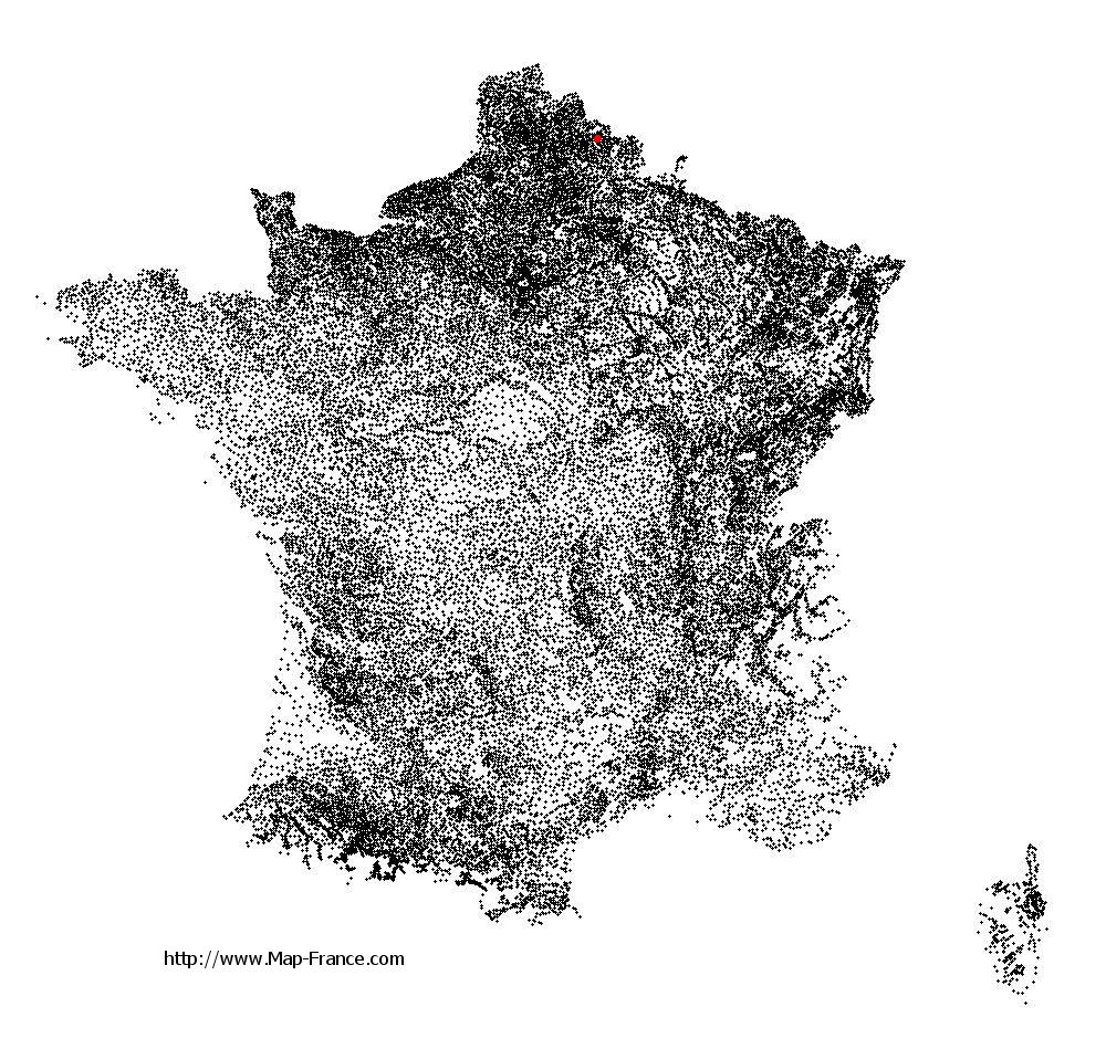
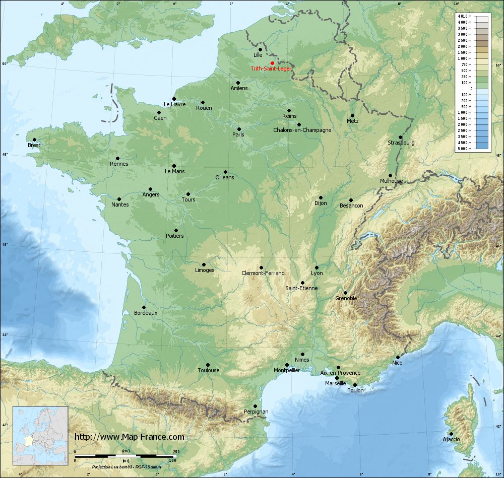
Trith-Saint-Léger on the relief France map in Lambert 93 coordinates
|
See the map of Trith-Saint-Léger in full screen (1000 x 949)
|
At left, here is the location of Trith-Saint-Léger on the relief France map in Lambert 93 coordinates.
Here are the altitudes of Trith-Saint-Léger :
- Town hall altitude of Trith-Saint-Léger is 25 meters
- Minimum altitude of Trith-Saint-Léger is 21 meters
- Maximum altitude of Trith-Saint-Léger is 81 meters
- Medium altitude of Trith-Saint-Léger is 51 meters
Here are the altitudes of Lille, prefecture of Nord department:
- Town hall altitude of Lille is 20 meters
- Minimum altitude of Lille is 17 meters
- Maximum altitude of Lille is 45 meters
- Medium altitude of Lille is 31 meters
Here are the altitudes of the french biggest cities:
Paris : 33 meters
Marseille : 20 meters
Lyon : 237 meters
Toulouse : 146 meters
Nice : 10 meters
Nantes : 20 meters
Strasbourg : 144 meters
Montpellier : 35 meters
Bordeaux : 16 meters
Lille : 20 meters
Rennes : 35 meters
Reims : 83 meters
Click here for the terrain map of Trith-Saint-Léger in full screen:
Relief map of Trith-Saint-Léger
|
This relief map of Trith-Saint-Léger is reusable and modifiable by making a link to this page of the Map-France.com website or by using the given code :
|
Terrain base map of Trith-Saint-Léger
|

See the terrain base map of Trith-Saint-Léger in full screen (1000 x 949)
|
Small relief base map of Trith-Saint-Léger

|
This base map of Trith-Saint-Léger is reusable and modifiable by making a link to this page of the Map-France.com website or by using the given code :
|
Map of Trith-Saint-Léger with regions and prefectures
|
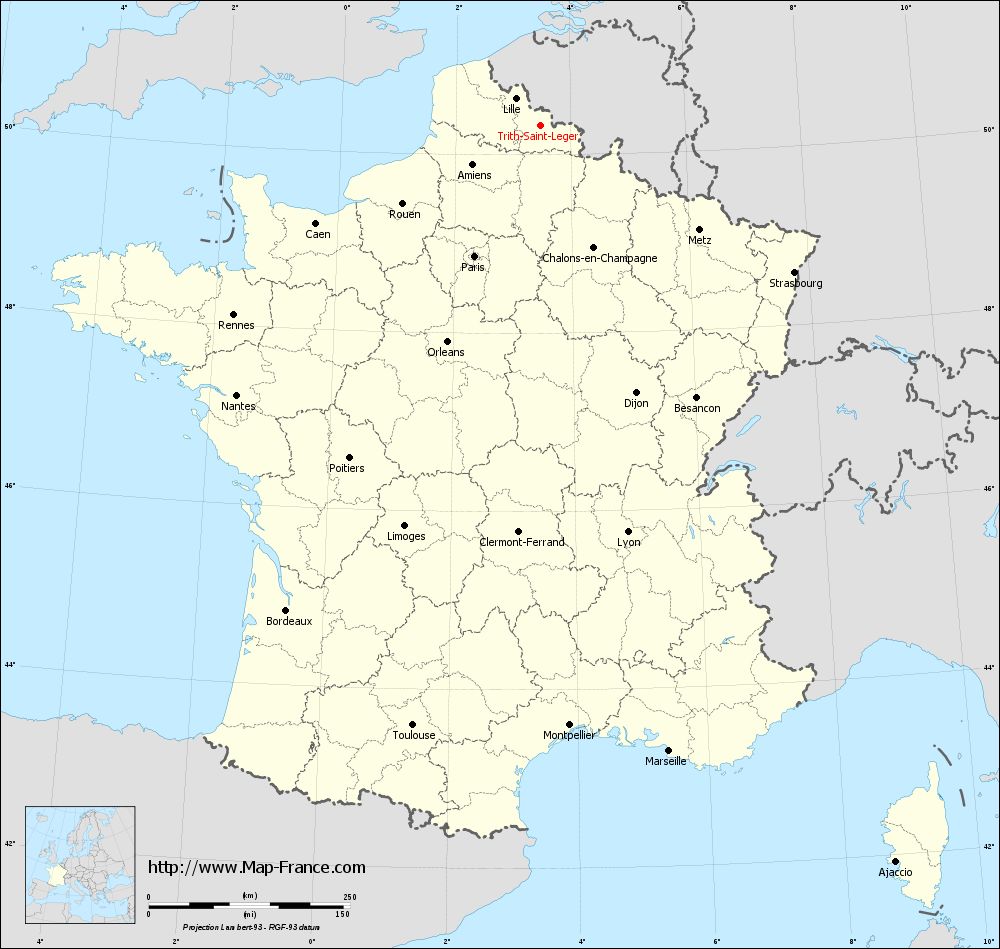
View the map of Trith-Saint-Léger in full screen (1000 x 949)
|
You will find the location of Trith-Saint-Léger on the map of France of regions in Lambert 93 coordinates. The city of Trith-Saint-Léger is located in the department of Nord of the french region Nord-Pas-de-Calais.
Geographical sexagesimal coordinates / GPS (WGS84):
Latitude: 50° 19' 32'' North
Longitude: 03° 29' 09'' East
Geographical decimal coordinates :
Latitude: 50.331 degrees (50.331° North)
Longitude: 3.486 degrees (3.486° East)
Lambert 93 coordinates :
X: 7 346 hectometers
Y: 70 254 hectometers
Lambert 2 coordinates :
X: 6 820 hectometers
Y: 25 928 hectometers
Below, the geographical coordinates of Lille, prefecture of the Nord department:
Geographical sexagesimal coordinates / GPS (WGS84):
Latitude: 50° 37' 55'' North
Longitude: 03° 03' 27'' East
Geographical decimal coordinates :
Latitude: 50.628 degrees (50.628° North)
Longitude: 3.045 degrees (3.045° East)
Lambert 93 coordinates :
X: 7 041 hectometers
Y: 70 594 hectometers
Lambert 2 coordinates :
X: 6 511 hectometers
Y: 26 266 hectometers
|
This map of Trith-Saint-Léger is reusable and modifiable by making a link to this page of the Map-France.com website or by using the given code :
|
Map of Trith-Saint-Léger with departments and prefectures
|
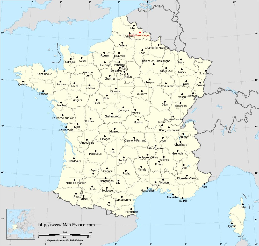
Voir la carte of Trith-Saint-Léger en grand format (1000 x 949)
|
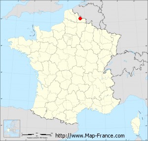
Here is the localization of Trith-Saint-Léger on the France map of departments in Lambert 93 coordinates. The city of Trith-Saint-Léger is shown on the map by a red point.
The city of Trith-Saint-Léger is located in the department of Nord of the french region Nord-Pas-de-Calais.
The latitude of Trith-Saint-Léger is 50.331 degrees North.
The longitude of Trith-Saint-Léger is 3.486 degrees East.
Here the distance between Trith-Saint-Léger and the biggest cities of France:
Distances are calculated as the crow flies (orthodromic distance)
Distance between Trith-Saint-Léger and Paris : 182.8 kilometers
Distance between Trith-Saint-Léger and Marseille : 794.81 kilometers
Distance between Trith-Saint-Léger and Lyon : 517.64 kilometers
Distance between Trith-Saint-Léger and Toulouse : 763.52 kilometers
Distance between Trith-Saint-Léger and Nice : 789.42 kilometers
Distance between Trith-Saint-Léger and Nantes : 505.45 kilometers
Distance between Trith-Saint-Léger and Strasbourg : 364.26 kilometers
Distance between Trith-Saint-Léger and Montpellier : 747.43 kilometers
Distance between Trith-Saint-Léger and Bordeaux : 681.2 kilometers
Distance between Trith-Saint-Léger and Lille : 45.42 kilometers
Distance between Trith-Saint-Léger and Rennes : 448.8 kilometers
Distance between Trith-Saint-Léger and Reims : 125.45 kilometers
Clic here to see the map of Trith-Saint-Léger in full screen:
Trith-Saint-Léger on the map of french departments
|
This administrative map of Trith-Saint-Léger is reusable and modifiable by making a link to this page of the Map-France.com website or by using the given code :
|
Administrative base maps of Trith-Saint-Léger
|

See the administrative base map of Trith-Saint-Léger in full screen (1000 x 949)
|
Small administrative base map of Trith-Saint-Léger
|
This base map administrative of Trith-Saint-Léger is reusable and modifiable by making a link to this page of the Map-France.com website or by using the given code :
|
 French Version : http://www.cartesfrance.fr