Map of France

Uttenheim photos


Find a town, a zip code,
a department, a region... in France
I like Map-France.com !


Uttenheim pictures


Here are the photos of the town of Uttenheim and nearby towns. Uttenheim is located in the department of Bas-Rhin in the region of Alsace. You will find the satellite map of Uttenheim under these photos.

To see photos of nearby towns of Uttenheim, you can try the following links :
   - Bolsenheim photos : town located at 1.19 km
   - Westhouse photos : town located at 1.68 km
   - Matzenheim photos : town located at 2.65 km
   - Schaeffersheim photos : town located at 2.88 km
   - Osthouse photos : town located at 3.36 km
   - Sand photos : town located at 3.45 km
   - Kertzfeld photos : town located at 3.89 km
   - Benfeld photos : town located at 4.45 km
   - Erstein photos : town located at 5.00 km
   - Meistratzheim photos : town located at 5.66 km
   - Huttenheim photos : town located at 5.93 km
   - Valff photos : town located at 5.98 km

 - photos of the department prefecture of Bas-Rhin : photos of Strasbourg
 - pictures of others cities of Bas-Rhin : Bas-Rhin


To see Uttenheim from the sky, here is the satellite map of the town of Uttenheim : Uttenheim map.

I like Uttenheim !


Photos of the town of Uttenheim

These photos taken near the town of Uttenheim can be shown in full screen clicking on the thumbnails. Photos are copyrighted by their owners.

Frozen morning - Photo of Uttenheim
Frozen morning

Three little stones on ice - Photo of Uttenheim
Three little stones on ice

Trees in winter - Photo of Uttenheim
Trees in winter

The path to the chapel - Photo of Uttenheim
The path to the chapel

Mercedes-Benz Intouro n°K552 de la CTBR passant à Blaesheim, peu après le silo et s-apprêtant à rentrer dans le village - Photo of Uttenheim
Mercedes-Benz Intouro n°K552 de la CTBR passant à Blaesheim, peu après le silo et s-apprêtant à rentrer dans le village

Lake at morning - Photo of Uttenheim
Lake at morning

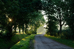
Sun through trees - Photo of Uttenheim
Sun through trees

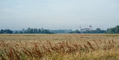
Countryside under mist - Photo of Uttenheim
Countryside under mist

The hut in the fields - Photo of Uttenheim
The hut in the fields

Vosges mountains - Photo of Uttenheim
Vosges mountains

Vosges mountains - Photo of Uttenheim
Vosges mountains

Barr - Photo of Uttenheim
Barr

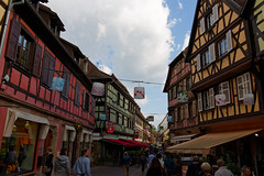
The town of Obernai - Photo of Uttenheim
The town of Obernai

Harvest time! - Photo of Uttenheim
Harvest time!


Uttenheim from the sky


Old photos of the town of Uttenheim

These photos taken near the town of Uttenheim can be shown in full screen clicking on the thumbnails. Photos are copyrighted by their owners.


Other maps, hotels and towns in france


Find another town, zip code, department, region, ...


Quick links Uttenheim :


Back to the menus Map of France :


Make a link to this page of Uttenheim with the following code :


Map of France | Regions | Departments | Cities | Partners | Terms | Contact