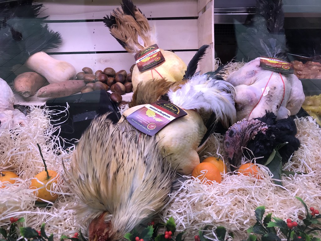
Map of France

Vauvert photos


Find a town, a zip code,
a department, a region... in France
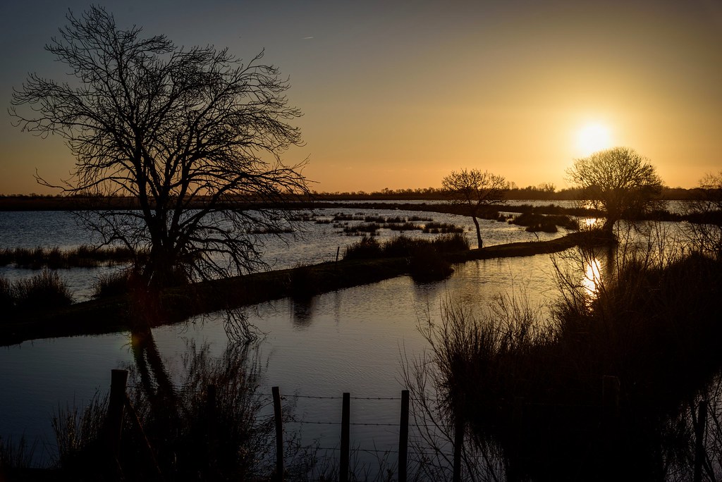
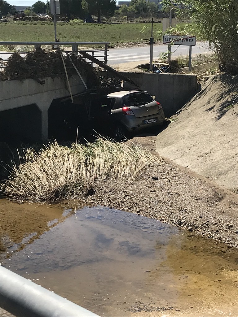
I like Map-France.com !


Vauvert pictures


Here are the photos of the city of Vauvert and nearby towns. Vauvert is located in the department of Gard in the region of Languedoc-Roussillon. You will find the satellite map of Vauvert under these photos.

To see photos of nearby towns of Vauvert, you can try the following links :
   - Le Cailar photos : town located at 3.85 km
   - Beauvoisin photos : town located at 4.72 km
   - Aimargues photos : town located at 5.35 km
   - Vestric-et-Candiac photos : town located at 5.57 km
   - Codognan photos : town located at 6.22 km
   - Uchaud photos : town located at 7.08 km
   - Générac photos : town located at 7.17 km
   - Vergèze photos : town located at 7.27 km
   - Aubord photos : town located at 7.79 km
   - Mus photos : town located at 7.91 km
   - Bernis photos : town located at 8.16 km
   - Marsillargues photos : town located at 8.32 km

 - photos of the department prefecture of Gard : photos of Nîmes
 - pictures of others cities of Gard : Gard


To see Vauvert from the sky, here is the satellite map of the city of Vauvert : Vauvert map.

I like Vauvert !


Photos of the city of Vauvert

These photos taken near the city of Vauvert can be shown in full screen clicking on the thumbnails. Photos are copyrighted by their owners.


Vauvert from the sky


Old photos of the city of Vauvert

These photos taken near the city of Vauvert can be shown in full screen clicking on the thumbnails. Photos are copyrighted by their owners.


Other maps, hotels and towns in france


Find another town, zip code, department, region, ...


Quick links Vauvert :


Back to the menus Map of France :


Make a link to this page of Vauvert with the following code :


Map of France | Regions | Departments | Cities | Partners | Terms | Contact
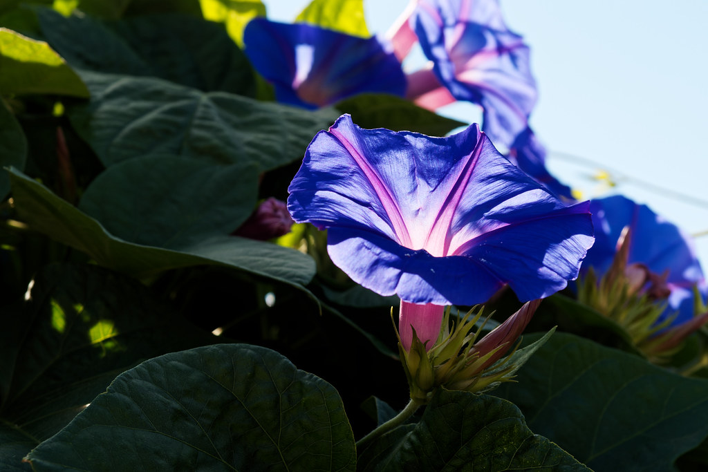