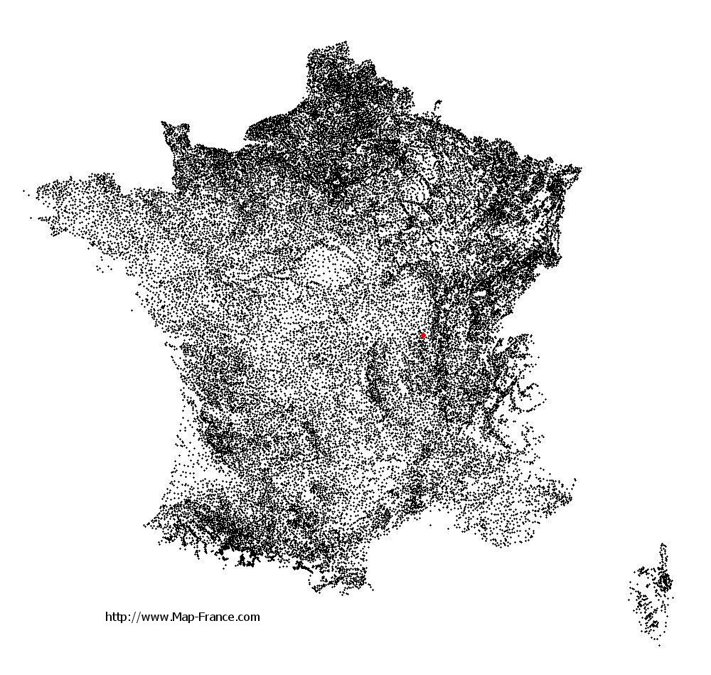
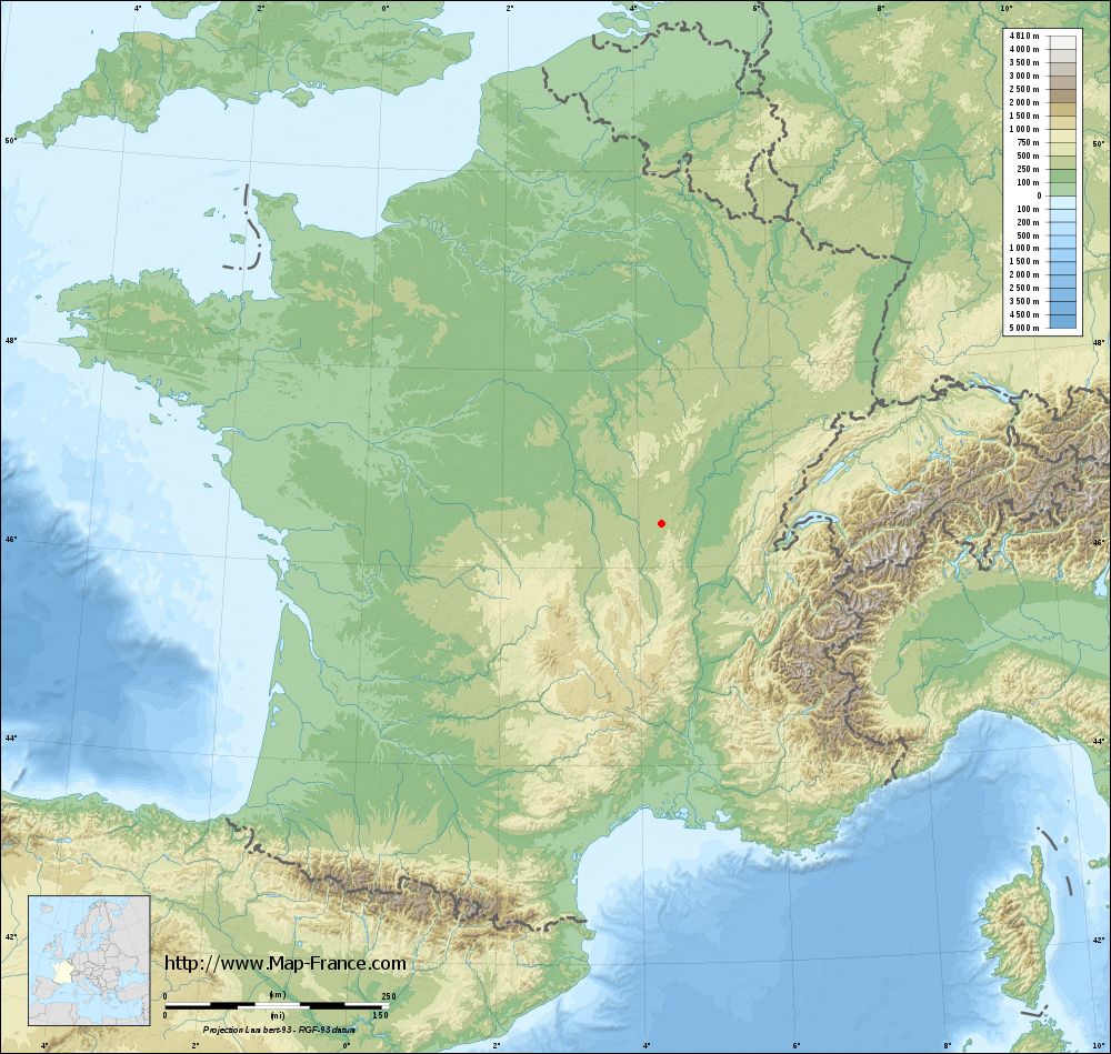
Vendenesse-lès-Charolles on the relief France map in Lambert 93 coordinates
|

See the map of Vendenesse-lès-Charolles in full screen (1000 x 949)
|
At left, here is the location of Vendenesse-lès-Charolles on the relief France map in Lambert 93 coordinates.
Here are the altitudes of Vendenesse-lès-Charolles :
- Town hall altitude of Vendenesse-lès-Charolles is 300 meters
- Minimum altitude of Vendenesse-lès-Charolles is 282 meters
- Maximum altitude of Vendenesse-lès-Charolles is 403 meters
- Medium altitude of Vendenesse-lès-Charolles is 343 meters
Here are the altitudes of Mâcon, prefecture of Saône-et-Loire department:
- Town hall altitude of Mâcon is 190 meters
- Minimum altitude of Mâcon is 167 meters
- Maximum altitude of Mâcon is 347 meters
- Medium altitude of Mâcon is 257 meters
Here are the altitudes of the french biggest cities:
Paris : 33 meters
Marseille : 20 meters
Lyon : 237 meters
Toulouse : 146 meters
Nice : 10 meters
Nantes : 20 meters
Strasbourg : 144 meters
Montpellier : 35 meters
Bordeaux : 16 meters
Lille : 20 meters
Rennes : 35 meters
Reims : 83 meters
Click here for the terrain map of Vendenesse-lès-Charolles in full screen:
Relief map of Vendenesse-lès-Charolles
|
This relief map of Vendenesse-lès-Charolles is reusable and modifiable by making a link to this page of the Map-France.com website or by using the given code :
|
Terrain base map of Vendenesse-lès-Charolles
|
See the terrain base map of Vendenesse-lès-Charolles in full screen (1000 x 949)
|
Small relief base map of Vendenesse-lès-Charolles

|
This base map of Vendenesse-lès-Charolles is reusable and modifiable by making a link to this page of the Map-France.com website or by using the given code :
|
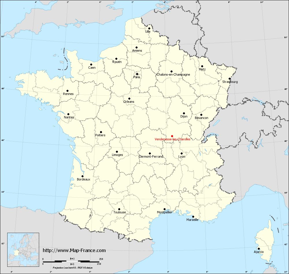
Map of Vendenesse-lès-Charolles with regions and prefectures
|
View the map of Vendenesse-lès-Charolles in full screen (1000 x 949)
|
You will find the location of Vendenesse-lès-Charolles on the map of France of regions in Lambert 93 coordinates. The town of Vendenesse-lès-Charolles is located in the department of Saône-et-Loire of the french region Bourgogne.
Geographical sexagesimal coordinates / GPS (WGS84):
Latitude: 46° 26' 31'' North
Longitude: 04° 20' 15'' East
Geographical decimal coordinates :
Latitude: 46.443 degrees (46.443° North)
Longitude: 4.338 degrees (4.338° East)
Lambert 93 coordinates :
X: 8 027 hectometers
Y: 65 944 hectometers
Lambert 2 coordinates :
X: 7 537 hectometers
Y: 21 622 hectometers
Below, the geographical coordinates of Mâcon, prefecture of the Saône-et-Loire department:
Geographical sexagesimal coordinates / GPS (WGS84):
Latitude: 46° 18' 24'' North
Longitude: 04° 49' 55'' East
Geographical decimal coordinates :
Latitude: 46.308 degrees (46.308° North)
Longitude: 4.831 degrees (4.831° East)
Lambert 93 coordinates :
X: 8 410 hectometers
Y: 65 802 hectometers
Lambert 2 coordinates :
X: 7 922 hectometers
Y: 21 482 hectometers
|
This map of Vendenesse-lès-Charolles is reusable and modifiable by making a link to this page of the Map-France.com website or by using the given code :
|
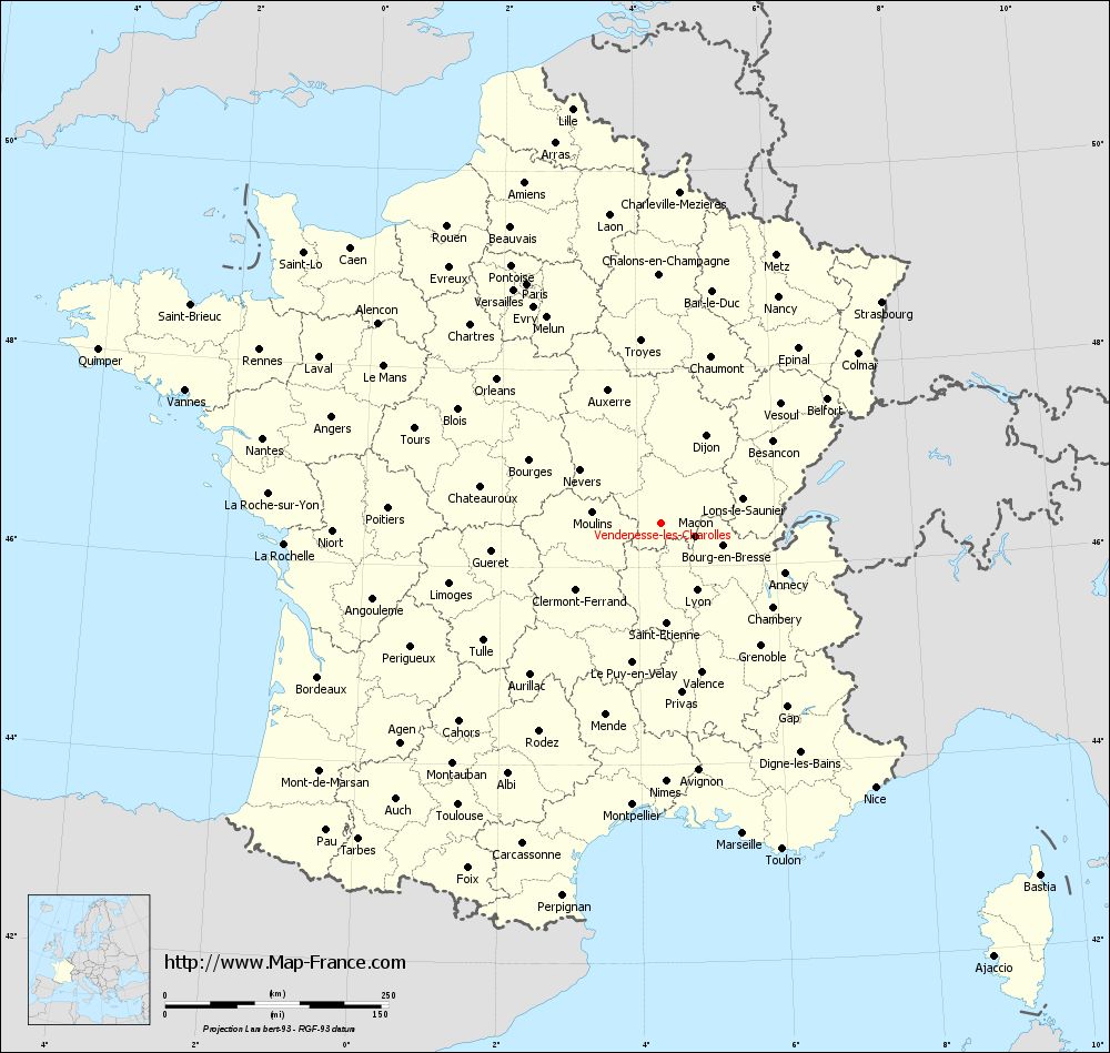
Map of Vendenesse-lès-Charolles with departments and prefectures
|
Voir la carte of Vendenesse-lès-Charolles en grand format (1000 x 949)
|
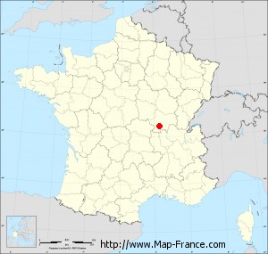
Here is the localization of Vendenesse-lès-Charolles on the France map of departments in Lambert 93 coordinates. The city of Vendenesse-lès-Charolles is shown on the map by a red point.
The town of Vendenesse-lès-Charolles is located in the department of Saône-et-Loire of the french region Bourgogne.
The latitude of Vendenesse-lès-Charolles is 46.443 degrees North.
The longitude of Vendenesse-lès-Charolles is 4.338 degrees East.
Here the distance between Vendenesse-lès-Charolles and the biggest cities of France:
Distances are calculated as the crow flies (orthodromic distance)
Distance between Vendenesse-lès-Charolles and Paris : 307.22 kilometers
Distance between Vendenesse-lès-Charolles and Marseille : 359.32 kilometers
Distance between Vendenesse-lès-Charolles and Lyon : 85 kilometers
Distance between Vendenesse-lès-Charolles and Toulouse : 388.75 kilometers
Distance between Vendenesse-lès-Charolles and Nice : 380.88 kilometers
Distance between Vendenesse-lès-Charolles and Nantes : 455.94 kilometers
Distance between Vendenesse-lès-Charolles and Strasbourg : 349.83 kilometers
Distance between Vendenesse-lès-Charolles and Montpellier : 316.96 kilometers
Distance between Vendenesse-lès-Charolles and Bordeaux : 420.85 kilometers
Distance between Vendenesse-lès-Charolles and Lille : 474.62 kilometers
Distance between Vendenesse-lès-Charolles and Rennes : 489.74 kilometers
Distance between Vendenesse-lès-Charolles and Reims : 313.62 kilometers
Clic here to see the map of Vendenesse-lès-Charolles in full screen:
Vendenesse-lès-Charolles on the map of french departments
|
This administrative map of Vendenesse-lès-Charolles is reusable and modifiable by making a link to this page of the Map-France.com website or by using the given code :
|
Administrative base maps of Vendenesse-lès-Charolles
|

See the administrative base map of Vendenesse-lès-Charolles in full screen (1000 x 949)
|
Small administrative base map of Vendenesse-lès-Charolles
|
This base map administrative of Vendenesse-lès-Charolles is reusable and modifiable by making a link to this page of the Map-France.com website or by using the given code :
|
 French Version : http://www.cartesfrance.fr