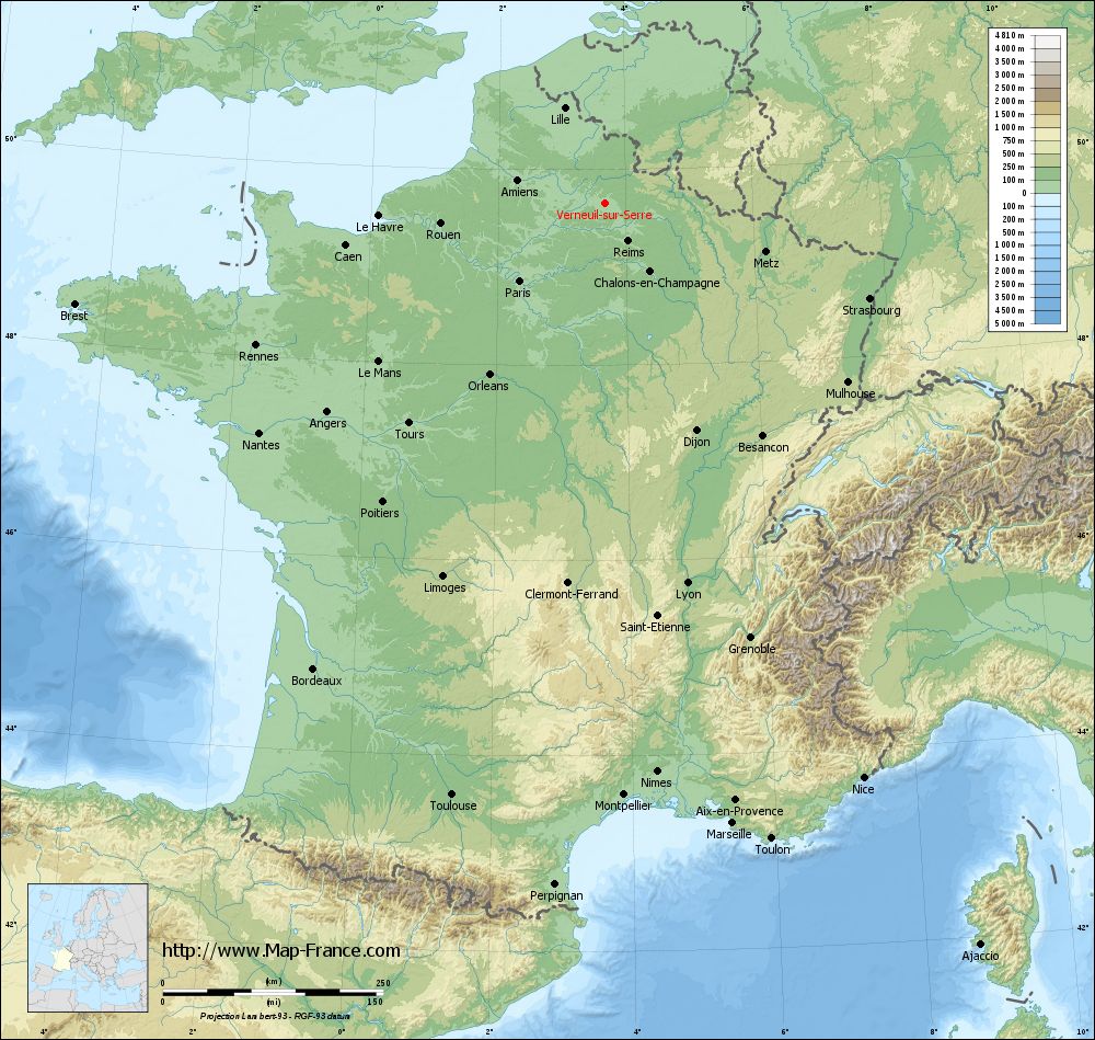
Verneuil-sur-Serre on the relief France map in Lambert 93 coordinates
|
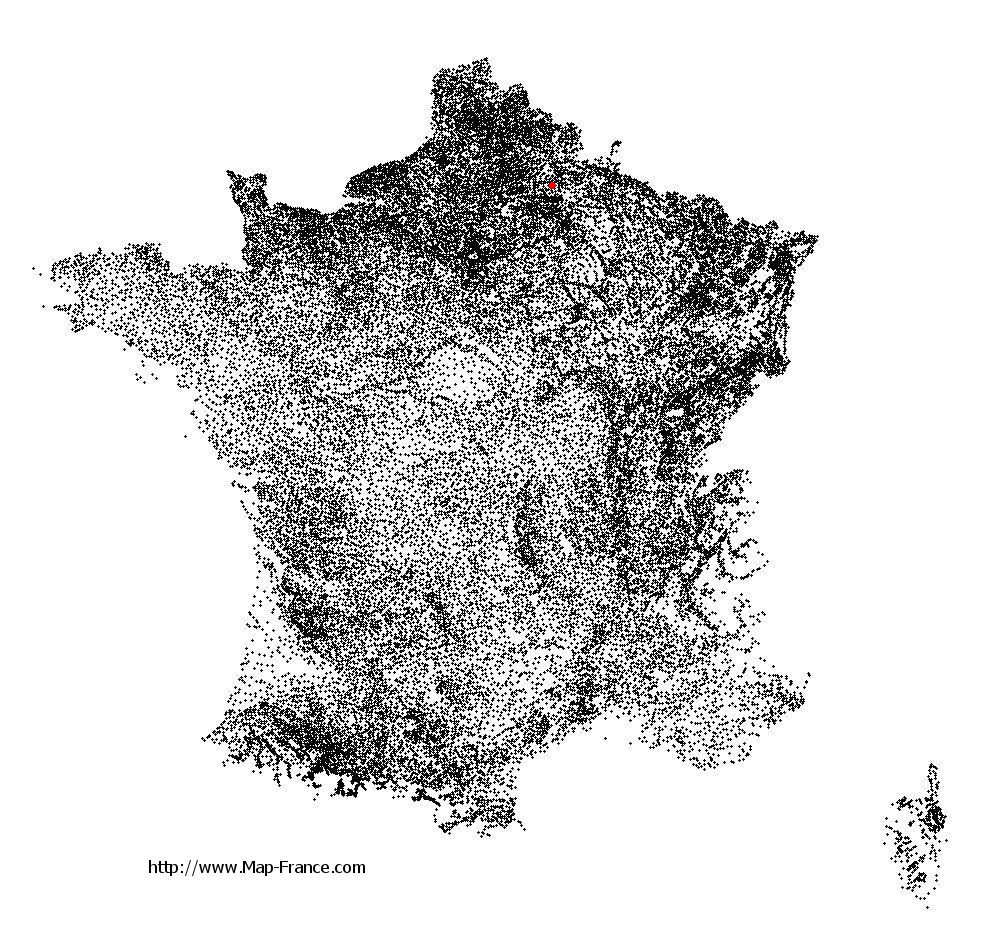
See the map of Verneuil-sur-Serre in full screen (1000 x 949)
|
At left, here is the location of Verneuil-sur-Serre on the relief France map in Lambert 93 coordinates.
Here are the altitudes of Verneuil-sur-Serre :
- Town hall altitude of Verneuil-sur-Serre is 80 meters
- Minimum altitude of Verneuil-sur-Serre is 62 meters
- Maximum altitude of Verneuil-sur-Serre is 91 meters
- Medium altitude of Verneuil-sur-Serre is 77 meters
Here are the altitudes of Laon, prefecture of Aisne department:
- Town hall altitude of Laon is 160 meters
- Minimum altitude of Laon is 63 meters
- Maximum altitude of Laon is 183 meters
- Medium altitude of Laon is 123 meters
Here are the altitudes of the french biggest cities:
Paris : 33 meters
Marseille : 20 meters
Lyon : 237 meters
Toulouse : 146 meters
Nice : 10 meters
Nantes : 20 meters
Strasbourg : 144 meters
Montpellier : 35 meters
Bordeaux : 16 meters
Lille : 20 meters
Rennes : 35 meters
Reims : 83 meters
Click here for the terrain map of Verneuil-sur-Serre in full screen:
Relief map of Verneuil-sur-Serre
|
This relief map of Verneuil-sur-Serre is reusable and modifiable by making a link to this page of the Map-France.com website or by using the given code :
|
Terrain base map of Verneuil-sur-Serre
|

See the terrain base map of Verneuil-sur-Serre in full screen (1000 x 949)
|
Small relief base map of Verneuil-sur-Serre

|
This base map of Verneuil-sur-Serre is reusable and modifiable by making a link to this page of the Map-France.com website or by using the given code :
|
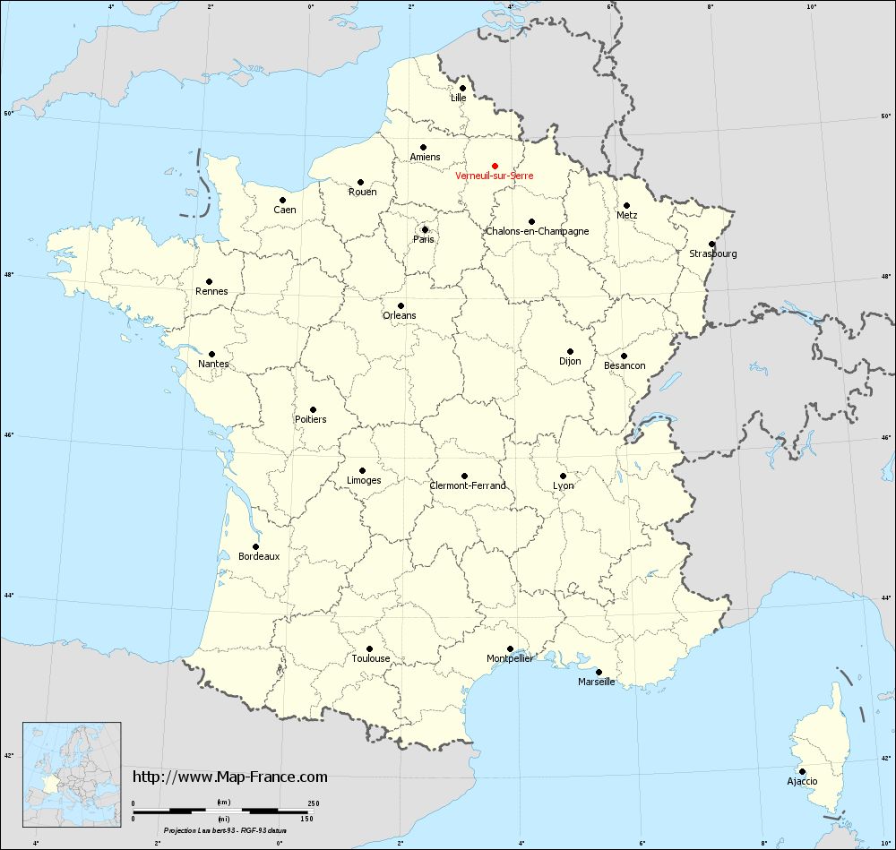
Map of Verneuil-sur-Serre with regions and prefectures
|
View the map of Verneuil-sur-Serre in full screen (1000 x 949)
|
You will find the location of Verneuil-sur-Serre on the map of France of regions in Lambert 93 coordinates. The town of Verneuil-sur-Serre is located in the department of Aisne of the french region Picardie.
Geographical sexagesimal coordinates / GPS (WGS84):
Latitude: 49° 39' 03'' North
Longitude: 03° 40' 25'' East
Geographical decimal coordinates :
Latitude: 49.65 degrees (49.65° North)
Longitude: 3.674 degrees (3.674° East)
Lambert 93 coordinates :
X: 7 487 hectometers
Y: 69 504 hectometers
Lambert 2 coordinates :
X: 6 967 hectometers
Y: 25 179 hectometers
Below, the geographical coordinates of Laon, prefecture of the Aisne department:
Geographical sexagesimal coordinates / GPS (WGS84):
Latitude: 49° 33' 48'' North
Longitude: 03° 37' 25'' East
Geographical decimal coordinates :
Latitude: 49.569 degrees (49.569° North)
Longitude: 3.626 degrees (3.626° East)
Lambert 93 coordinates :
X: 7 451 hectometers
Y: 69 406 hectometers
Lambert 2 coordinates :
X: 6 932 hectometers
Y: 25 081 hectometers
|
This map of Verneuil-sur-Serre is reusable and modifiable by making a link to this page of the Map-France.com website or by using the given code :
|
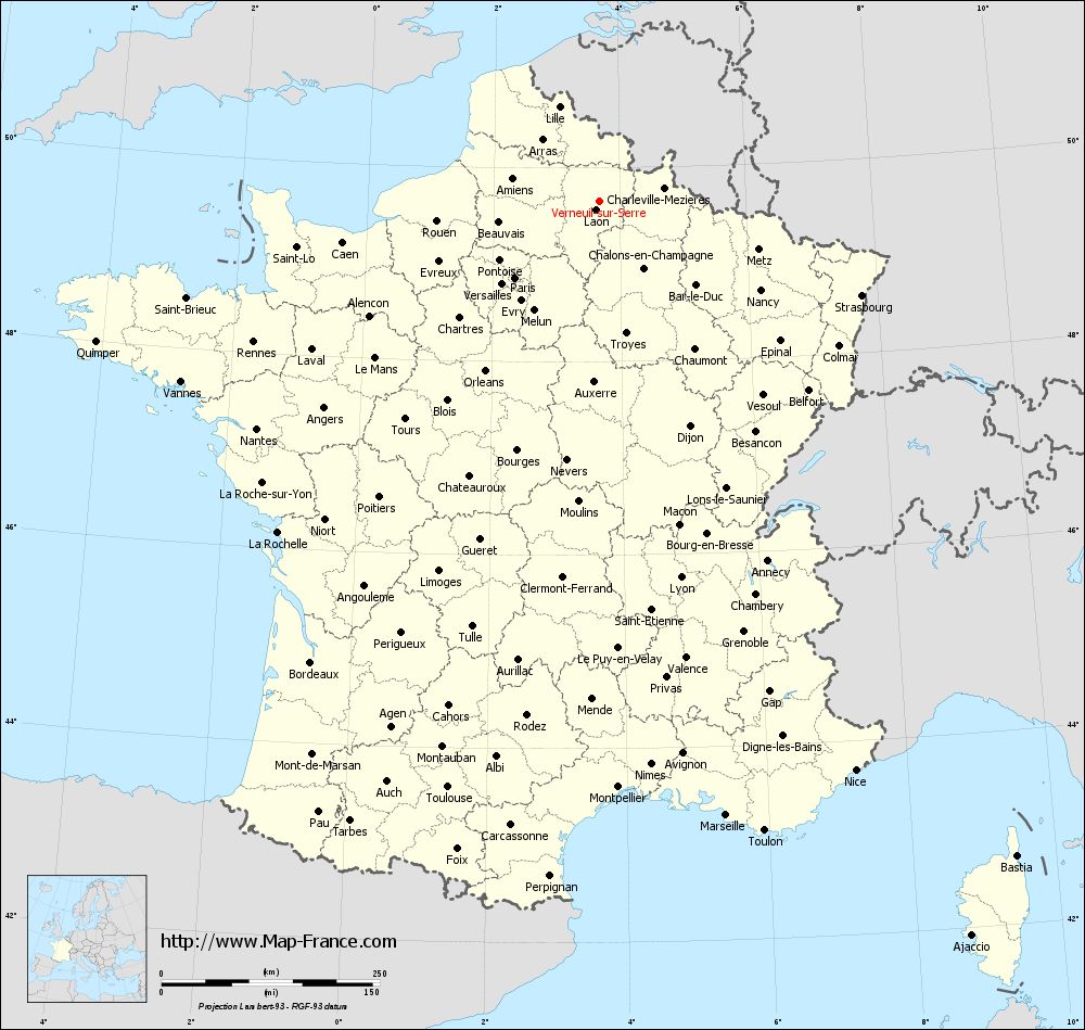
Map of Verneuil-sur-Serre with departments and prefectures
|
Voir la carte of Verneuil-sur-Serre en grand format (1000 x 949)
|
Here is the localization of Verneuil-sur-Serre on the France map of departments in Lambert 93 coordinates. The city of Verneuil-sur-Serre is shown on the map by a red point.
The town of Verneuil-sur-Serre is located in the department of Aisne of the french region Picardie.
The latitude of Verneuil-sur-Serre is 49.65 degrees North.
The longitude of Verneuil-sur-Serre is 3.674 degrees East.
Here the distance between Verneuil-sur-Serre and the biggest cities of France:
Distances are calculated as the crow flies (orthodromic distance)
Distance between Verneuil-sur-Serre and Paris : 130.26 kilometers
Distance between Verneuil-sur-Serre and Marseille : 718.03 kilometers
Distance between Verneuil-sur-Serre and Lyon : 440.87 kilometers
Distance between Verneuil-sur-Serre and Toulouse : 693.22 kilometers
Distance between Verneuil-sur-Serre and Nice : 714.63 kilometers
Distance between Verneuil-sur-Serre and Nantes : 470.43 kilometers
Distance between Verneuil-sur-Serre and Strasbourg : 319.54 kilometers
Distance between Verneuil-sur-Serre and Montpellier : 671.41 kilometers
Distance between Verneuil-sur-Serre and Bordeaux : 622.64 kilometers
Distance between Verneuil-sur-Serre and Lille : 117.51 kilometers
Distance between Verneuil-sur-Serre and Rennes : 426.99 kilometers
Distance between Verneuil-sur-Serre and Reims : 50.65 kilometers
Clic here to see the map of Verneuil-sur-Serre in full screen:
Verneuil-sur-Serre on the map of french departments
|
This administrative map of Verneuil-sur-Serre is reusable and modifiable by making a link to this page of the Map-France.com website or by using the given code :
|
Administrative base maps of Verneuil-sur-Serre
|

See the administrative base map of Verneuil-sur-Serre in full screen (1000 x 949)
|
Small administrative base map of Verneuil-sur-Serre
|
This base map administrative of Verneuil-sur-Serre is reusable and modifiable by making a link to this page of the Map-France.com website or by using the given code :
|
 French Version : http://www.cartesfrance.fr