Vertou photos
Find a town, a zip code,
a department, a region... in France
I like Map-France.com !
Map of France
Regions
Departments
Cities
Hotels
Directions
Satellite
Weather
Map of France
>
Pays de la Loire
>
Loire-Atlantique
>
Vertou
>
Photos Vertou
Vertou pictures
Vertou
Hotel
Road map
Map
Photos
Weather
Population
Housing
Here are the
photos of the city of Vertou
and nearby towns. Vertou is located in the department of Loire-Atlantique in the region of Pays de la Loire. You will find the satellite map of Vertou under these photos.
To see photos of nearby towns of Vertou, you can try the following links :
-
Haute-Goulaine photos
: town located at 4.67 km
-
Saint-Sébastien-sur-Loire photos
: town located at 4.67 km
-
Les Sorinières photos
: town located at 4.93 km
-
Basse-Goulaine photos
: town located at 5.14 km
-
Saint-Fiacre-sur-Maine photos
: town located at 5.17 km
-
Rezé photos
: town located at 5.69 km
-
La Haie-Fouassière photos
: town located at 5.80 km
-
Château-Thébaud photos
: town located at 6.38 km
-
Le Bignon photos
: town located at 8.23 km
-
Nantes photos
: town located at 8.27 km
-
Sainte-Luce-sur-Loire photos
: town located at 9.11 km
-
Monnières photos
: town located at 9.78 km
- photos of the department prefecture of Loire-Atlantique :
photos of Nantes
- pictures of others cities of Loire-Atlantique :
Loire-Atlantique
To see Vertou from the sky, here is the satellite map of the city of Vertou :
Vertou map
.
I like Vertou !
Photos of the city of Vertou
These photos taken near the city of Vertou can be shown in full screen clicking on the thumbnails. Photos are copyrighted by their owners.
I wanna ride on a white horse ♘
Iveco Bus Urbanway 12 CNG – Semitan (Société d-Économie MIxte des Transports en commun de l-Agglomération Nantaise) / Naolib n°004
Hess Lightram 24 TOSA – Semitan (Société d-Économie MIxte des Transports en commun de l-Agglomération Nantaise) / Naolib n°219
Hess Lightram 24 TOSA – Semitan (Société d-Économie MIxte des Transports en commun de l-Agglomération Nantaise) / Naolib n°201
Alsthom TFS (Tramway Français Standard) – Semitan (Société d-Économie MIxte des Transports en commun de l-Agglomération Nantaise) / Naolib
Hess Lightram 24 TOSA – Semitan (Société d-Économie MIxte des Transports en commun de l-Agglomération Nantaise) / Naolib n°211
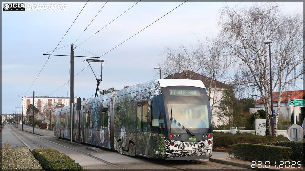
Bombardier Incentro – Semitan (Société d-Économie MIxte des Transports en commun de l-Agglomération Nantaise) / Naolib n°369 (Le train fantôme de Florentine et Alexandre Lamarche-Ovize pour le Voyage à Nantes 2024)
Heuliez Bus GX 317 GNV – Semitan (Société d-Économie MIxte des Transports en commun de l-Agglomération Nantaise) / Naolib n°536
Heuliez Bus GX 317 GNV – Semitan (Société d-Économie MIxte des Transports en commun de l-Agglomération Nantaise) / Naolib n°536
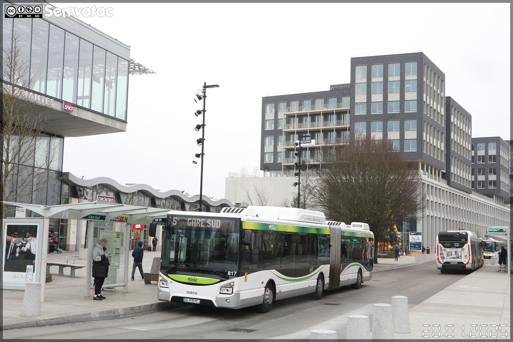
Iveco Bus Urbanway 18 CNG – Semitan (Société d-Économie MIxte des Transports en commun de l-Agglomération Nantaise) / Naolib n°817
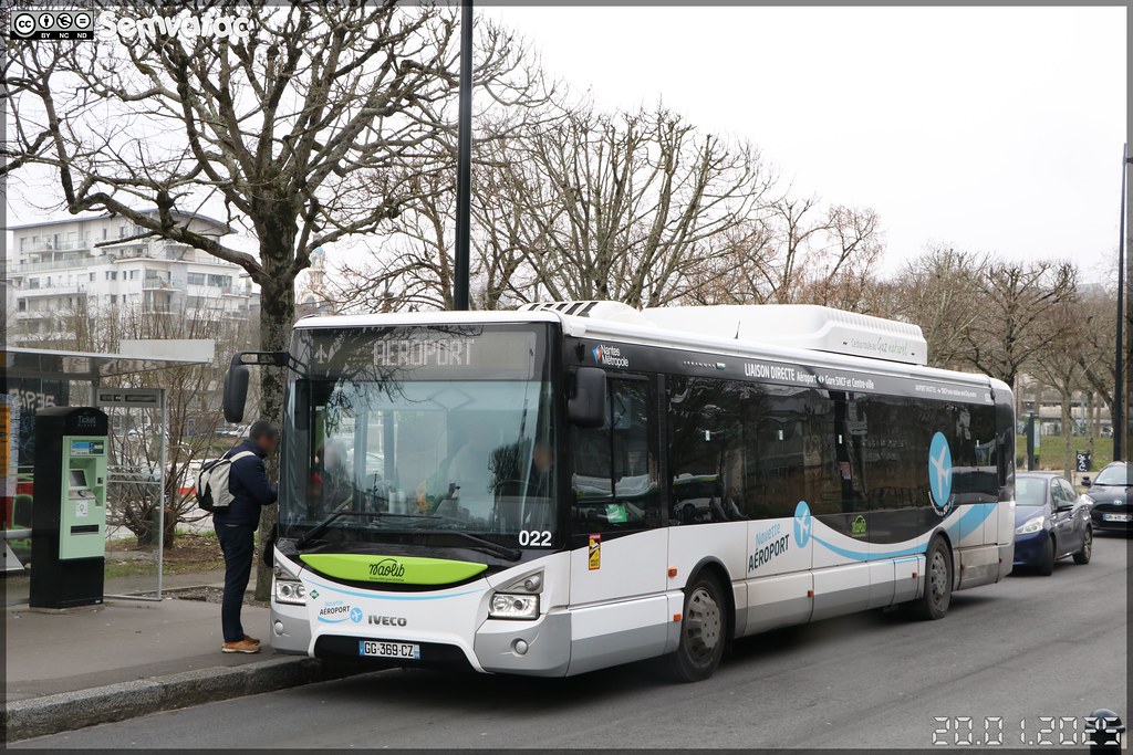
Iveco Bus Urbanway 12 CNG – Semitan (Société d-Économie MIxte des Transports en commun de l-Agglomération Nantaise) / Naolib n°022
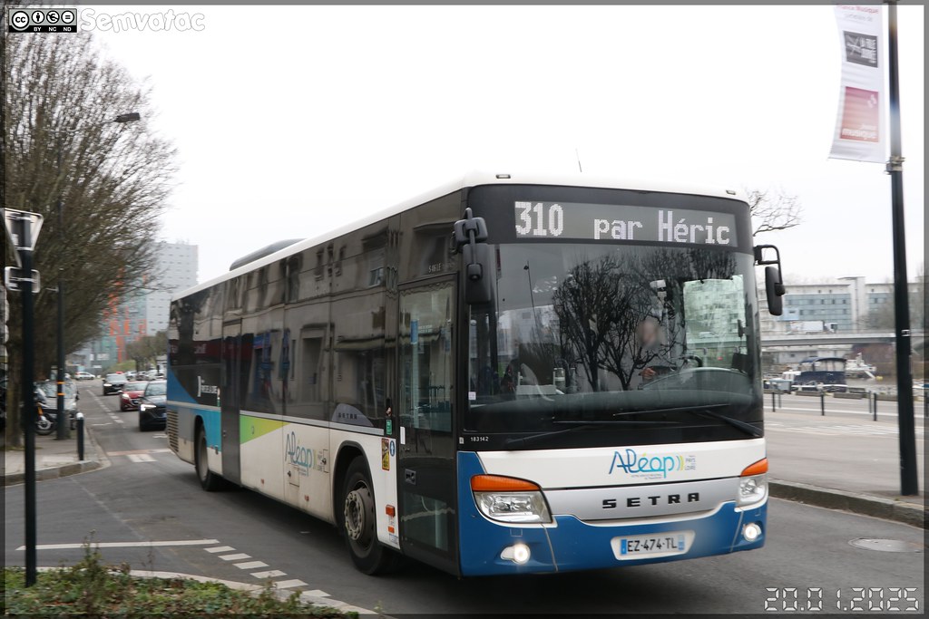
Setra S 416 LE business – Keolis Atlantique / Aléop n°183142
Scène urbaine nantaise
Heuliez Bus GX 317 GNV – Semitan (Société d-Économie MIxte des Transports en commun de l-Agglomération Nantaise) / Naolib n°536
Vertou from the sky
Old photos of the city of Vertou
These photos taken near the city of Vertou can be shown in full screen clicking on the thumbnails. Photos are copyrighted by their owners.
Other maps, hotels and towns in france
Find another town, zip code, department, region, ...
Quick links
Vertou
:
Vertou
Vertou hotels
Vertou hotels map
Vertou road map
Vertou map
Vertou pictures
Vertou weather
Vertou population
Vertou housing
Back to the menus Map of France :
Map of France
>
Pays de la Loire
>
Loire-Atlantique
>
Vertou
>
Vertou photos
Make a link to this page of Vertou with the following code :
<a href="https://www.map-france.com/Vertou-44120/photos-Vertou.html" title="photos of Vertou" />Vertou photos</a>
Map of France
|
Regions
|
Departments
|
Cities
|
Partners
|
Terms
|
Contact