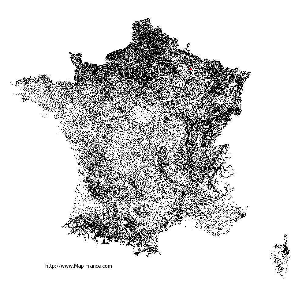
Vienne-le-Château on the relief France map in Lambert 93 coordinates
|

See the map of Vienne-le-Château in full screen (1000 x 949)
|
At left, here is the location of Vienne-le-Château on the relief France map in Lambert 93 coordinates.
Here are the altitudes of Vienne-le-Château :
- Town hall altitude of Vienne-le-Château is 129 meters
- Minimum altitude of Vienne-le-Château is 121 meters
- Maximum altitude of Vienne-le-Château is 259 meters
- Medium altitude of Vienne-le-Château is 190 meters
Here are the altitudes of Châlons-en-Champagne, prefecture of Marne department:
- Town hall altitude of Châlons-en-Champagne is 85 meters
- Minimum altitude of Châlons-en-Champagne is 79 meters
- Maximum altitude of Châlons-en-Champagne is 153 meters
- Medium altitude of Châlons-en-Champagne is 116 meters
Here are the altitudes of the french biggest cities:
Paris : 33 meters
Marseille : 20 meters
Lyon : 237 meters
Toulouse : 146 meters
Nice : 10 meters
Nantes : 20 meters
Strasbourg : 144 meters
Montpellier : 35 meters
Bordeaux : 16 meters
Lille : 20 meters
Rennes : 35 meters
Reims : 83 meters
Click here for the terrain map of Vienne-le-Château in full screen:
Relief map of Vienne-le-Château
|
This relief map of Vienne-le-Château is reusable and modifiable by making a link to this page of the Map-France.com website or by using the given code :
|
Terrain base map of Vienne-le-Château
|

See the terrain base map of Vienne-le-Château in full screen (1000 x 949)
|
Small relief base map of Vienne-le-Château

|
This base map of Vienne-le-Château is reusable and modifiable by making a link to this page of the Map-France.com website or by using the given code :
|
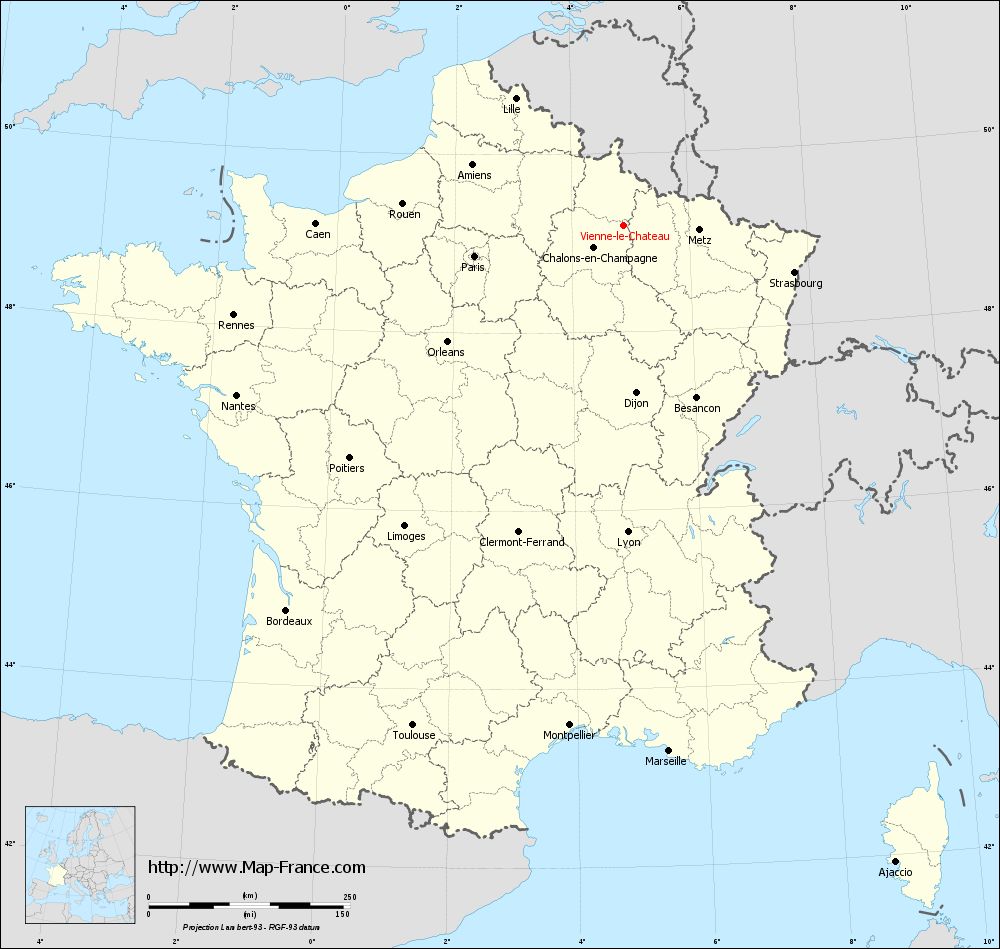
Map of Vienne-le-Château with regions and prefectures
|
View the map of Vienne-le-Château in full screen (1000 x 949)
|
You will find the location of Vienne-le-Château on the map of France of regions in Lambert 93 coordinates. The town of Vienne-le-Château is located in the department of Marne of the french region Champagne-Ardenne.
Geographical sexagesimal coordinates / GPS (WGS84):
Latitude: 49° 11' 27'' North
Longitude: 04° 53' 16'' East
Geographical decimal coordinates :
Latitude: 49.191 degrees (49.191° North)
Longitude: 4.89 degrees (4.89° East)
Lambert 93 coordinates :
X: 8 376 hectometers
Y: 69 007 hectometers
Lambert 2 coordinates :
X: 7 861 hectometers
Y: 24 689 hectometers
Below, the geographical coordinates of Châlons-en-Champagne, prefecture of the Marne department:
Geographical sexagesimal coordinates / GPS (WGS84):
Latitude: 48° 57' 24'' North
Longitude: 04° 21' 52'' East
Geographical decimal coordinates :
Latitude: 48.957 degrees (48.957° North)
Longitude: 4.362 degrees (4.362° East)
Lambert 93 coordinates :
X: 7 999 hectometers
Y: 68 738 hectometers
Lambert 2 coordinates :
X: 7 486 hectometers
Y: 24 417 hectometers
|
This map of Vienne-le-Château is reusable and modifiable by making a link to this page of the Map-France.com website or by using the given code :
|
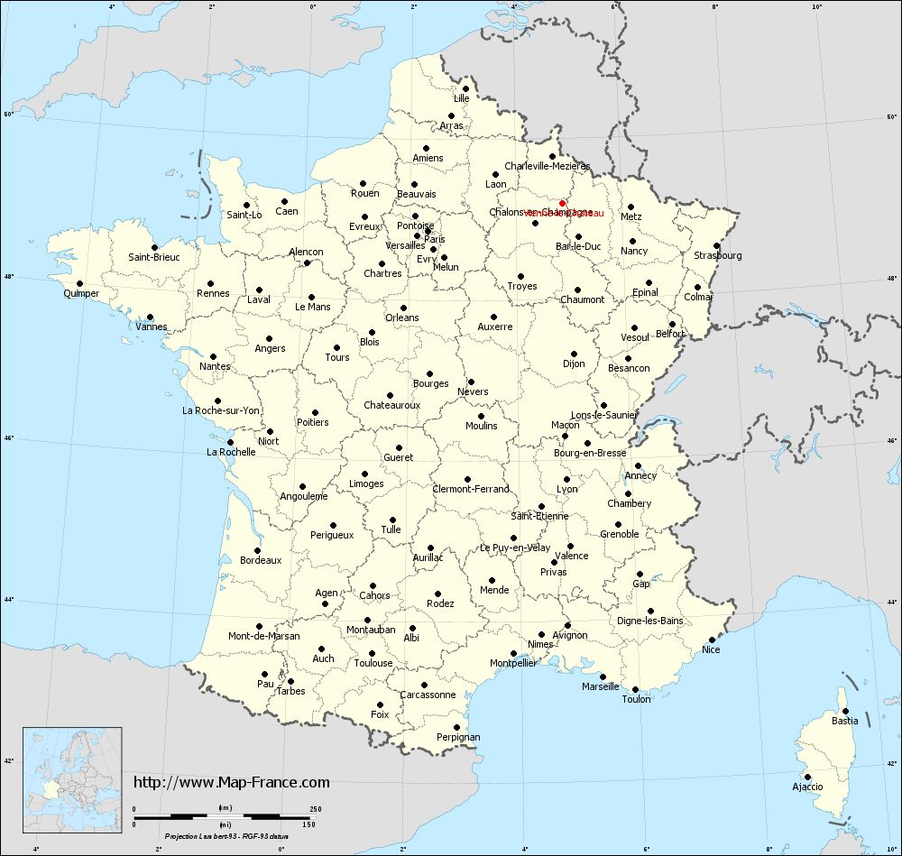
Map of Vienne-le-Château with departments and prefectures
|
Voir la carte of Vienne-le-Château en grand format (1000 x 949)
|
Here is the localization of Vienne-le-Château on the France map of departments in Lambert 93 coordinates. The city of Vienne-le-Château is shown on the map by a red point.
The town of Vienne-le-Château is located in the department of Marne of the french region Champagne-Ardenne.
The latitude of Vienne-le-Château is 49.191 degrees North.
The longitude of Vienne-le-Château is 4.89 degrees East.
Here the distance between Vienne-le-Château and the biggest cities of France:
Distances are calculated as the crow flies (orthodromic distance)
Distance between Vienne-le-Château and Paris : 188.93 kilometers
Distance between Vienne-le-Château and Marseille : 655.93 kilometers
Distance between Vienne-le-Château and Lyon : 381.2 kilometers
Distance between Vienne-le-Château and Toulouse : 674.58 kilometers
Distance between Vienne-le-Château and Nice : 635.76 kilometers
Distance between Vienne-le-Château and Nantes : 524.81 kilometers
Distance between Vienne-le-Château and Strasbourg : 219.91 kilometers
Distance between Vienne-le-Château and Montpellier : 625.01 kilometers
Distance between Vienne-le-Château and Bordeaux : 635.82 kilometers
Distance between Vienne-le-Château and Lille : 207.21 kilometers
Distance between Vienne-le-Château and Rennes : 496.89 kilometers
Distance between Vienne-le-Château and Reims : 62.75 kilometers
Clic here to see the map of Vienne-le-Château in full screen:
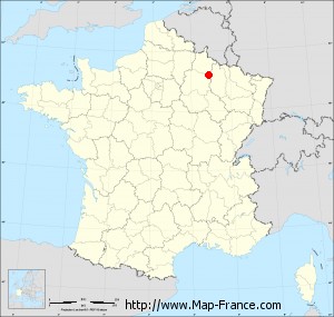
Vienne-le-Château on the map of french departments
|
This administrative map of Vienne-le-Château is reusable and modifiable by making a link to this page of the Map-France.com website or by using the given code :
|
Administrative base maps of Vienne-le-Château
|

See the administrative base map of Vienne-le-Château in full screen (1000 x 949)
|
Small administrative base map of Vienne-le-Château
|
This base map administrative of Vienne-le-Château is reusable and modifiable by making a link to this page of the Map-France.com website or by using the given code :
|
 French Version : http://www.cartesfrance.fr