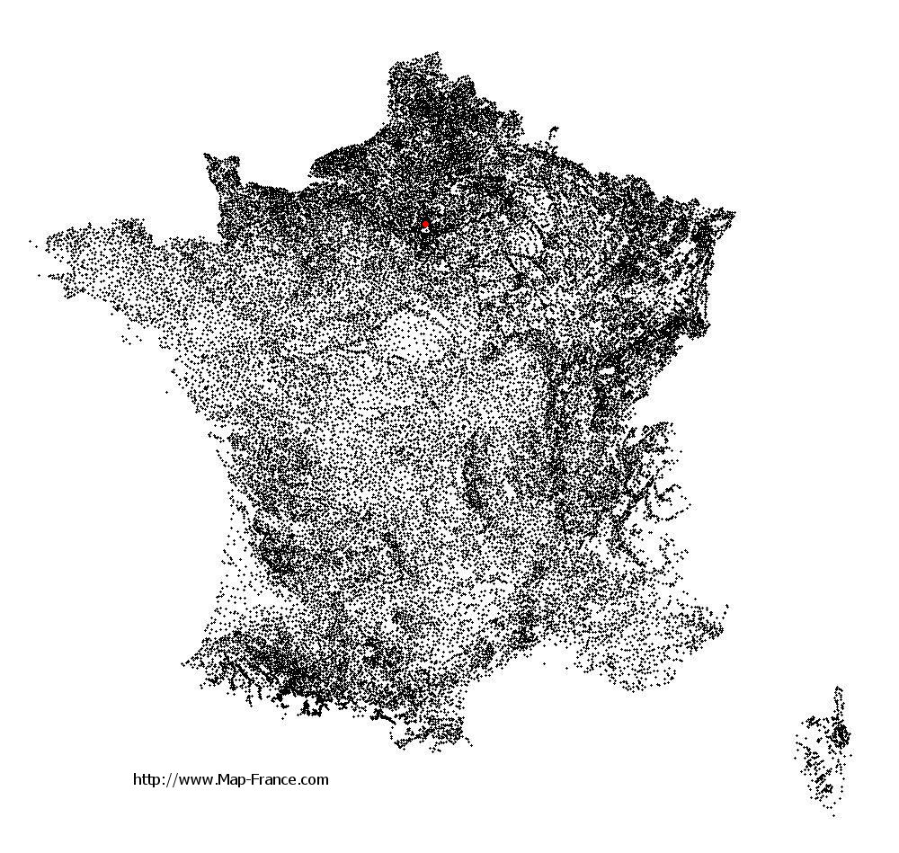
Villeneuve-la-Garenne on the relief France map in Lambert 93 coordinates
|
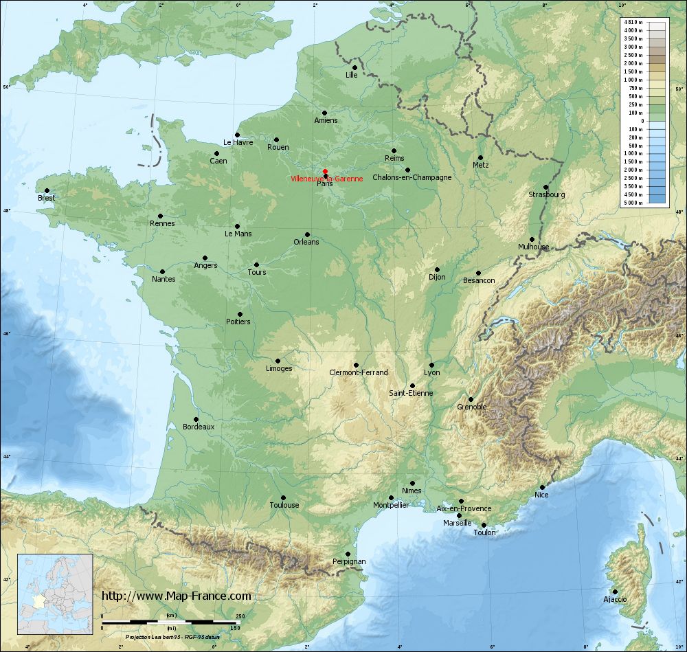
See the map of Villeneuve-la-Garenne in full screen (1000 x 949)
|
At left, here is the location of Villeneuve-la-Garenne on the relief France map in Lambert 93 coordinates.
Here are the altitudes of Villeneuve-la-Garenne :
- Town hall altitude of Villeneuve-la-Garenne is 27 meters
- Minimum altitude of Villeneuve-la-Garenne is 22 meters
- Maximum altitude of Villeneuve-la-Garenne is 31 meters
- Medium altitude of Villeneuve-la-Garenne is 27 meters
Here are the altitudes of Nanterre, prefecture of Hauts-de-Seine department:
- Town hall altitude of Nanterre is 42 meters
- Minimum altitude of Nanterre is 22 meters
- Maximum altitude of Nanterre is 127 meters
- Medium altitude of Nanterre is 75 meters
Here are the altitudes of the french biggest cities:
Paris : 33 meters
Marseille : 20 meters
Lyon : 237 meters
Toulouse : 146 meters
Nice : 10 meters
Nantes : 20 meters
Strasbourg : 144 meters
Montpellier : 35 meters
Bordeaux : 16 meters
Lille : 20 meters
Rennes : 35 meters
Reims : 83 meters
Click here for the terrain map of Villeneuve-la-Garenne in full screen:
Relief map of Villeneuve-la-Garenne
|
This relief map of Villeneuve-la-Garenne is reusable and modifiable by making a link to this page of the Map-France.com website or by using the given code :
|
Terrain base map of Villeneuve-la-Garenne
|

See the terrain base map of Villeneuve-la-Garenne in full screen (1000 x 949)
|
Small relief base map of Villeneuve-la-Garenne

|
This base map of Villeneuve-la-Garenne is reusable and modifiable by making a link to this page of the Map-France.com website or by using the given code :
|
Map of Villeneuve-la-Garenne with regions and prefectures
|
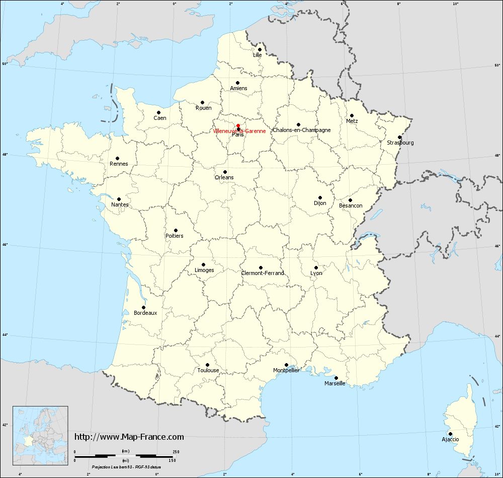
View the map of Villeneuve-la-Garenne in full screen (1000 x 949)
|
You will find the location of Villeneuve-la-Garenne on the map of France of regions in Lambert 93 coordinates. The city of Villeneuve-la-Garenne is located in the department of Hauts-de-Seine of the french region Île-de-France.
Geographical sexagesimal coordinates / GPS (WGS84):
Latitude: 48° 56' 14'' North
Longitude: 02° 19' 40'' East
Geographical decimal coordinates :
Latitude: 48.935 degrees (48.935° North)
Longitude: 2.329 degrees (2.329° East)
Lambert 93 coordinates :
X: 6 508 hectometers
Y: 68 710 hectometers
Lambert 2 coordinates :
X: 5 994 hectometers
Y: 24 377 hectometers
Below, the geographical coordinates of Nanterre, prefecture of the Hauts-de-Seine department:
Geographical sexagesimal coordinates / GPS (WGS84):
Latitude: 48° 53' 26'' North
Longitude: 02° 12' 13'' East
Geographical decimal coordinates :
Latitude: 48.891 degrees (48.891° North)
Longitude: 2.209 degrees (2.209° East)
Lambert 93 coordinates :
X: 6 416 hectometers
Y: 68 659 hectometers
Lambert 2 coordinates :
X: 5 903 hectometers
Y: 24 325 hectometers
|
This map of Villeneuve-la-Garenne is reusable and modifiable by making a link to this page of the Map-France.com website or by using the given code :
|
Map of Villeneuve-la-Garenne with departments and prefectures
|
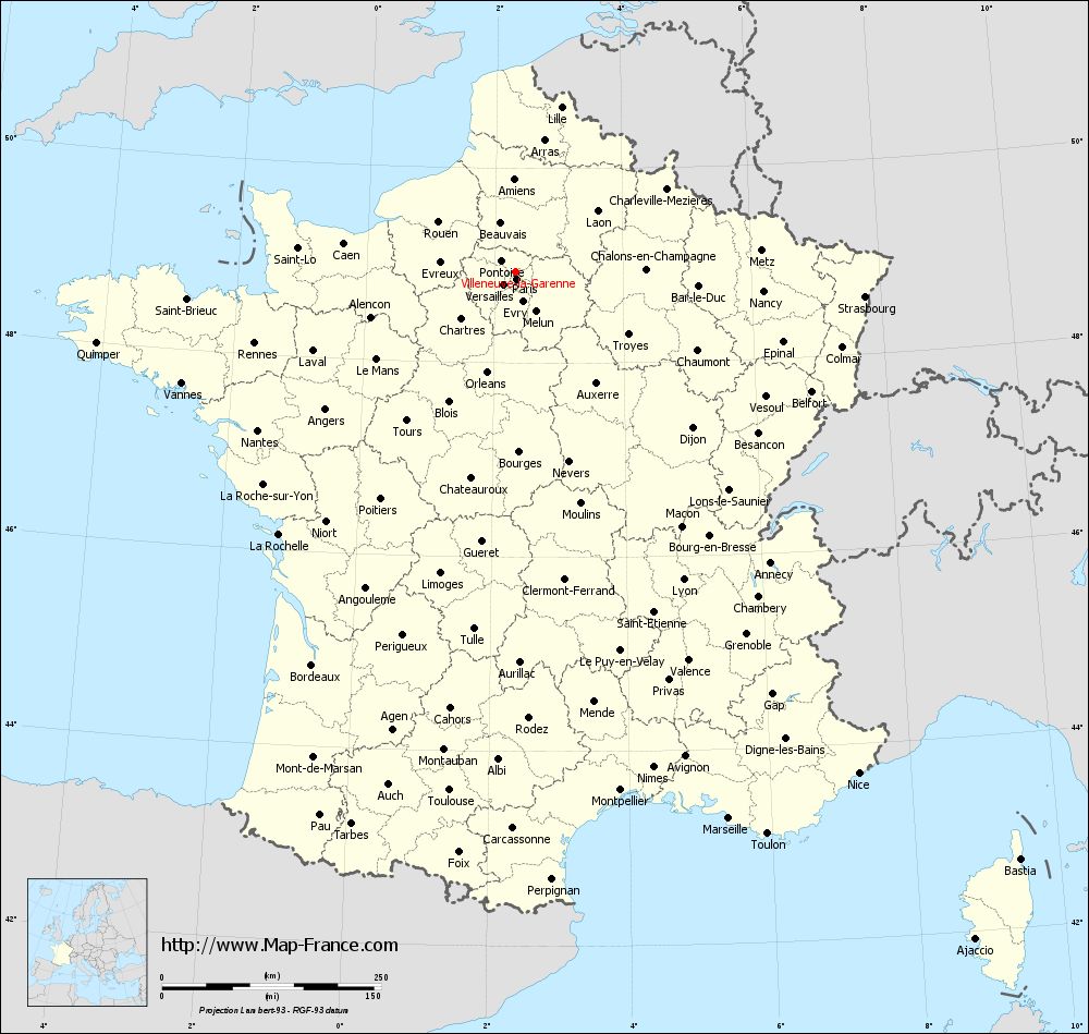
Voir la carte of Villeneuve-la-Garenne en grand format (1000 x 949)
|
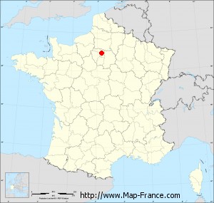
Here is the localization of Villeneuve-la-Garenne on the France map of departments in Lambert 93 coordinates. The city of Villeneuve-la-Garenne is shown on the map by a red point.
The city of Villeneuve-la-Garenne is located in the department of Hauts-de-Seine of the french region Île-de-France.
The latitude of Villeneuve-la-Garenne is 48.935 degrees North.
The longitude of Villeneuve-la-Garenne is 2.329 degrees East.
Here the distance between Villeneuve-la-Garenne and the biggest cities of France:
Distances are calculated as the crow flies (orthodromic distance)
Distance between Villeneuve-la-Garenne and Paris : 8.3 kilometers
Distance between Villeneuve-la-Garenne and Marseille : 669.36 kilometers
Distance between Villeneuve-la-Garenne and Lyon : 399.98 kilometers
Distance between Villeneuve-la-Garenne and Toulouse : 596.54 kilometers
Distance between Villeneuve-la-Garenne and Nice : 693.06 kilometers
Distance between Villeneuve-la-Garenne and Nantes : 345.47 kilometers
Distance between Villeneuve-la-Garenne and Strasbourg : 399.32 kilometers
Distance between Villeneuve-la-Garenne and Montpellier : 603.49 kilometers
Distance between Villeneuve-la-Garenne and Bordeaux : 505.16 kilometers
Distance between Villeneuve-la-Garenne and Lille : 195.02 kilometers
Distance between Villeneuve-la-Garenne and Rennes : 308.95 kilometers
Distance between Villeneuve-la-Garenne and Reims : 128.98 kilometers
Clic here to see the map of Villeneuve-la-Garenne in full screen:
Villeneuve-la-Garenne on the map of french departments
|
This administrative map of Villeneuve-la-Garenne is reusable and modifiable by making a link to this page of the Map-France.com website or by using the given code :
|
Administrative base maps of Villeneuve-la-Garenne
|

See the administrative base map of Villeneuve-la-Garenne in full screen (1000 x 949)
|
Small administrative base map of Villeneuve-la-Garenne
|
This base map administrative of Villeneuve-la-Garenne is reusable and modifiable by making a link to this page of the Map-France.com website or by using the given code :
|
 French Version : http://www.cartesfrance.fr