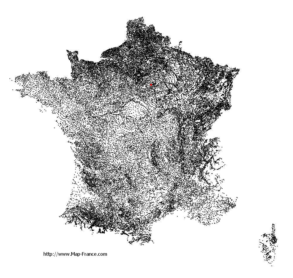
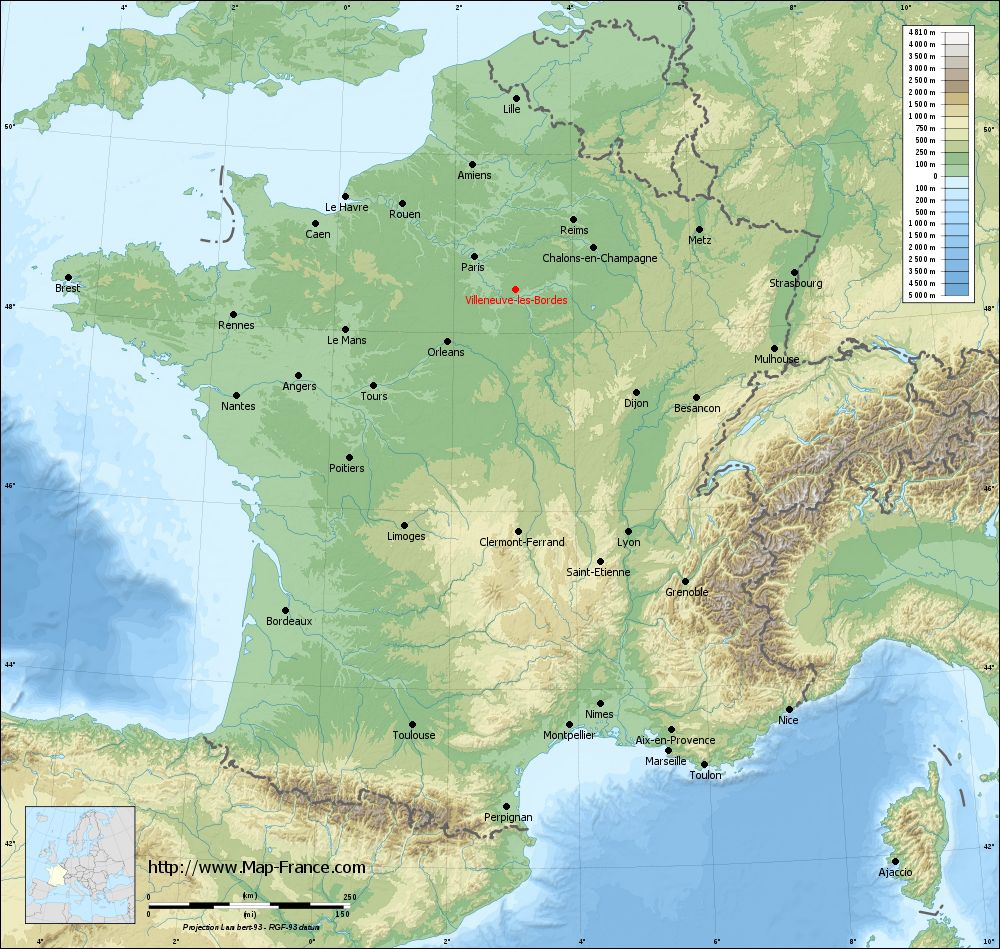
Villeneuve-les-Bordes on the relief France map in Lambert 93 coordinates
|
See the map of Villeneuve-les-Bordes in full screen (1000 x 949)
|
At left, here is the location of Villeneuve-les-Bordes on the relief France map in Lambert 93 coordinates.
Here are the altitudes of Villeneuve-les-Bordes :
- Town hall altitude of Villeneuve-les-Bordes is 145 meters
- Minimum altitude of Villeneuve-les-Bordes is 117 meters
- Maximum altitude of Villeneuve-les-Bordes is 149 meters
- Medium altitude of Villeneuve-les-Bordes is 133 meters
Here are the altitudes of Melun, prefecture of Seine-et-Marne department:
- Town hall altitude of Melun is 50 meters
- Minimum altitude of Melun is 37 meters
- Maximum altitude of Melun is 102 meters
- Medium altitude of Melun is 70 meters
Here are the altitudes of the french biggest cities:
Paris : 33 meters
Marseille : 20 meters
Lyon : 237 meters
Toulouse : 146 meters
Nice : 10 meters
Nantes : 20 meters
Strasbourg : 144 meters
Montpellier : 35 meters
Bordeaux : 16 meters
Lille : 20 meters
Rennes : 35 meters
Reims : 83 meters
Click here for the terrain map of Villeneuve-les-Bordes in full screen:
Relief map of Villeneuve-les-Bordes
|
This relief map of Villeneuve-les-Bordes is reusable and modifiable by making a link to this page of the Map-France.com website or by using the given code :
|
Terrain base map of Villeneuve-les-Bordes
|

See the terrain base map of Villeneuve-les-Bordes in full screen (1000 x 949)
|
Small relief base map of Villeneuve-les-Bordes

|
This base map of Villeneuve-les-Bordes is reusable and modifiable by making a link to this page of the Map-France.com website or by using the given code :
|
Map of Villeneuve-les-Bordes with regions and prefectures
|
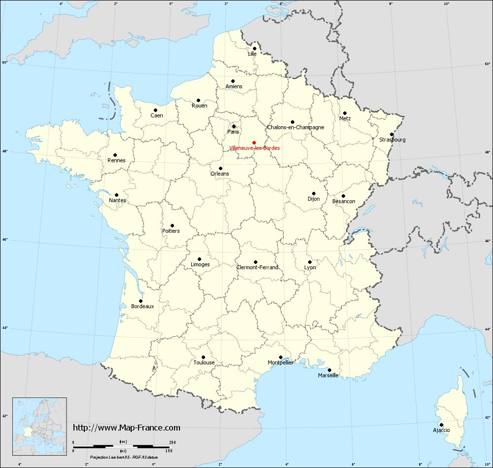
View the map of Villeneuve-les-Bordes in full screen (1000 x 949)
|
You will find the location of Villeneuve-les-Bordes on the map of France of regions in Lambert 93 coordinates. The town of Villeneuve-les-Bordes is located in the department of Seine-et-Marne of the french region Île-de-France.
Geographical sexagesimal coordinates / GPS (WGS84):
Latitude: 48° 29' 11'' North
Longitude: 03° 02' 34'' East
Geographical decimal coordinates :
Latitude: 48.486 degrees (48.486° North)
Longitude: 3.043 degrees (3.043° East)
Lambert 93 coordinates :
X: 7 032 hectometers
Y: 68 207 hectometers
Lambert 2 coordinates :
X: 6 522 hectometers
Y: 23 877 hectometers
Below, the geographical coordinates of Melun, prefecture of the Seine-et-Marne department:
Geographical sexagesimal coordinates / GPS (WGS84):
Latitude: 48° 32' 23'' North
Longitude: 02° 39' 33'' East
Geographical decimal coordinates :
Latitude: 48.541 degrees (48.541° North)
Longitude: 2.657 degrees (2.657° East)
Lambert 93 coordinates :
X: 6 748 hectometers
Y: 68 267 hectometers
Lambert 2 coordinates :
X: 6 238 hectometers
Y: 23 935 hectometers
|
This map of Villeneuve-les-Bordes is reusable and modifiable by making a link to this page of the Map-France.com website or by using the given code :
|
Map of Villeneuve-les-Bordes with departments and prefectures
|
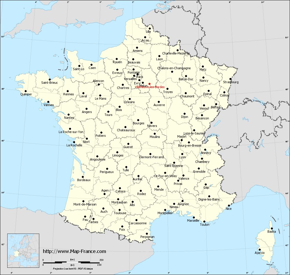
Voir la carte of Villeneuve-les-Bordes en grand format (1000 x 949)
|
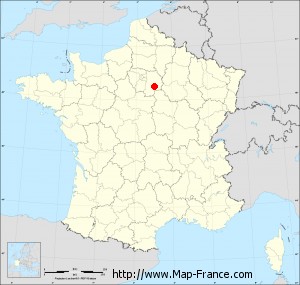
Here is the localization of Villeneuve-les-Bordes on the France map of departments in Lambert 93 coordinates. The city of Villeneuve-les-Bordes is shown on the map by a red point.
The town of Villeneuve-les-Bordes is located in the department of Seine-et-Marne of the french region Île-de-France.
The latitude of Villeneuve-les-Bordes is 48.486 degrees North.
The longitude of Villeneuve-les-Bordes is 3.043 degrees East.
Here the distance between Villeneuve-les-Bordes and the biggest cities of France:
Distances are calculated as the crow flies (orthodromic distance)
Distance between Villeneuve-les-Bordes and Paris : 65.95 kilometers
Distance between Villeneuve-les-Bordes and Marseille : 604.55 kilometers
Distance between Villeneuve-les-Bordes and Lyon : 331.81 kilometers
Distance between Villeneuve-les-Bordes and Toulouse : 556.6 kilometers
Distance between Villeneuve-les-Bordes and Nice : 622.47 kilometers
Distance between Villeneuve-les-Bordes and Nantes : 370.47 kilometers
Distance between Villeneuve-les-Bordes and Strasbourg : 346.81 kilometers
Distance between Villeneuve-les-Bordes and Montpellier : 545.69 kilometers
Distance between Villeneuve-les-Bordes and Bordeaux : 489.75 kilometers
Distance between Villeneuve-les-Bordes and Lille : 237.95 kilometers
Distance between Villeneuve-les-Bordes and Rennes : 351.61 kilometers
Distance between Villeneuve-les-Bordes and Reims : 112.09 kilometers
Clic here to see the map of Villeneuve-les-Bordes in full screen:
Villeneuve-les-Bordes on the map of french departments
|
This administrative map of Villeneuve-les-Bordes is reusable and modifiable by making a link to this page of the Map-France.com website or by using the given code :
|
Administrative base maps of Villeneuve-les-Bordes
|

See the administrative base map of Villeneuve-les-Bordes in full screen (1000 x 949)
|
Small administrative base map of Villeneuve-les-Bordes
|
This base map administrative of Villeneuve-les-Bordes is reusable and modifiable by making a link to this page of the Map-France.com website or by using the given code :
|
 French Version : http://www.cartesfrance.fr