Map of France

Villers-Canivet photos


Find a town, a zip code,
a department, a region... in France
I like Map-France.com !


Villers-Canivet pictures


Here are the photos of the town of Villers-Canivet and nearby towns. Villers-Canivet is located in the department of Calvados in the region of Basse-Normandie. You will find the satellite map of Villers-Canivet under these photos.

To see photos of nearby towns of Villers-Canivet, you can try the following links :
   - Ussy photos : town located at 2.12 km
   - Bons-Tassilly photos : town located at 2.45 km
   - Soulangy photos : town located at 2.67 km
   - Saint-Pierre-Canivet photos : town located at 2.93 km
   - Potigny photos : town located at 3.69 km
   - Aubigny photos : town located at 3.82 km
   - Leffard photos : town located at 4.23 km
   - Fontaine-le-Pin photos : town located at 4.34 km
   - Soumont-Saint-Quentin photos : town located at 4.62 km
   - Martigny-sur-l'Ante photos : town located at 4.80 km
   - Noron-l'Abbaye photos : town located at 5.13 km
   - Saint-Germain-Langot photos : town located at 5.28 km

 - photos of the department prefecture of Calvados : photos of Caen
 - pictures of others cities of Calvados : Calvados


To see Villers-Canivet from the sky, here is the satellite map of the town of Villers-Canivet : Villers-Canivet map.

I like Villers-Canivet !


Photos of the town of Villers-Canivet

These photos taken near the town of Villers-Canivet can be shown in full screen clicking on the thumbnails. Photos are copyrighted by their owners.

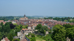
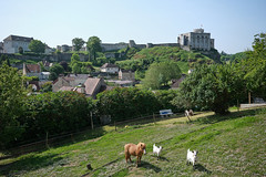
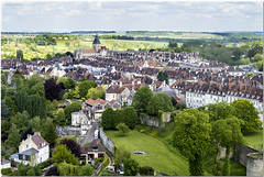
Les toits de la ville de Falaise / The roofs of the city of Falaise - Photo of Villers-Canivet
Les toits de la ville de Falaise / The roofs of the city of Falaise

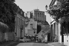
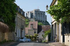
Le château de Falaise depuis la rue du Moulin Bigot - Photo of Villers-Canivet
Le château de Falaise depuis la rue du Moulin Bigot

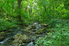
La Brèche au Diable / The Devil’s Breach - Photo of Villers-Canivet
La Brèche au Diable / The Devil’s Breach

Vue sur la ville de Falaise depuis les remparts du château - View of the town of Falaise from the castle ramparts - Photo of Villers-Canivet
Vue sur la ville de Falaise depuis les remparts du château - View of the town of Falaise from the castle ramparts

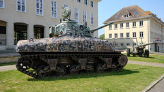
La guerre c-est l-enfer / War is Hell - Photo of Villers-Canivet
La guerre c-est l-enfer / War is Hell

Le château de Falaise depuis le quartier Saint-Adrien, Venelle des Palis - Photo of Villers-Canivet
Le château de Falaise depuis le quartier Saint-Adrien, Venelle des Palis

Visite virtuelle du château de Falaise - Photo of Villers-Canivet
Visite virtuelle du château de Falaise

Le château de Falaise depuis la rue du Moulin Bigot - Photo of Villers-Canivet
Le château de Falaise depuis la rue du Moulin Bigot

200704_0024 - Photo of Villers-Canivet
200704_0024

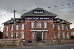
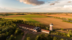
Mines de Soumont-Saint-Quentin. - Photo of Villers-Canivet
Mines de Soumont-Saint-Quentin.

Mine de Soumont-Saint-Quentin. - Photo of Villers-Canivet
Mine de Soumont-Saint-Quentin.

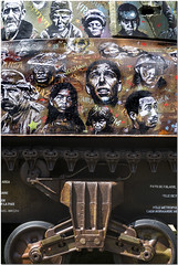
Guerre et Paix - Photo of Villers-Canivet
Guerre et Paix

Falaise - Photo of Villers-Canivet
Falaise

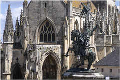
Eglise de Falaise - Photo of Villers-Canivet
Eglise de Falaise


Villers-Canivet from the sky


Old photos of the town of Villers-Canivet

These photos taken near the town of Villers-Canivet can be shown in full screen clicking on the thumbnails. Photos are copyrighted by their owners.


Other maps, hotels and towns in france


Find another town, zip code, department, region, ...


Quick links Villers-Canivet :


Back to the menus Map of France :


Make a link to this page of Villers-Canivet with the following code :


Map of France | Regions | Departments | Cities | Partners | Terms | Contact