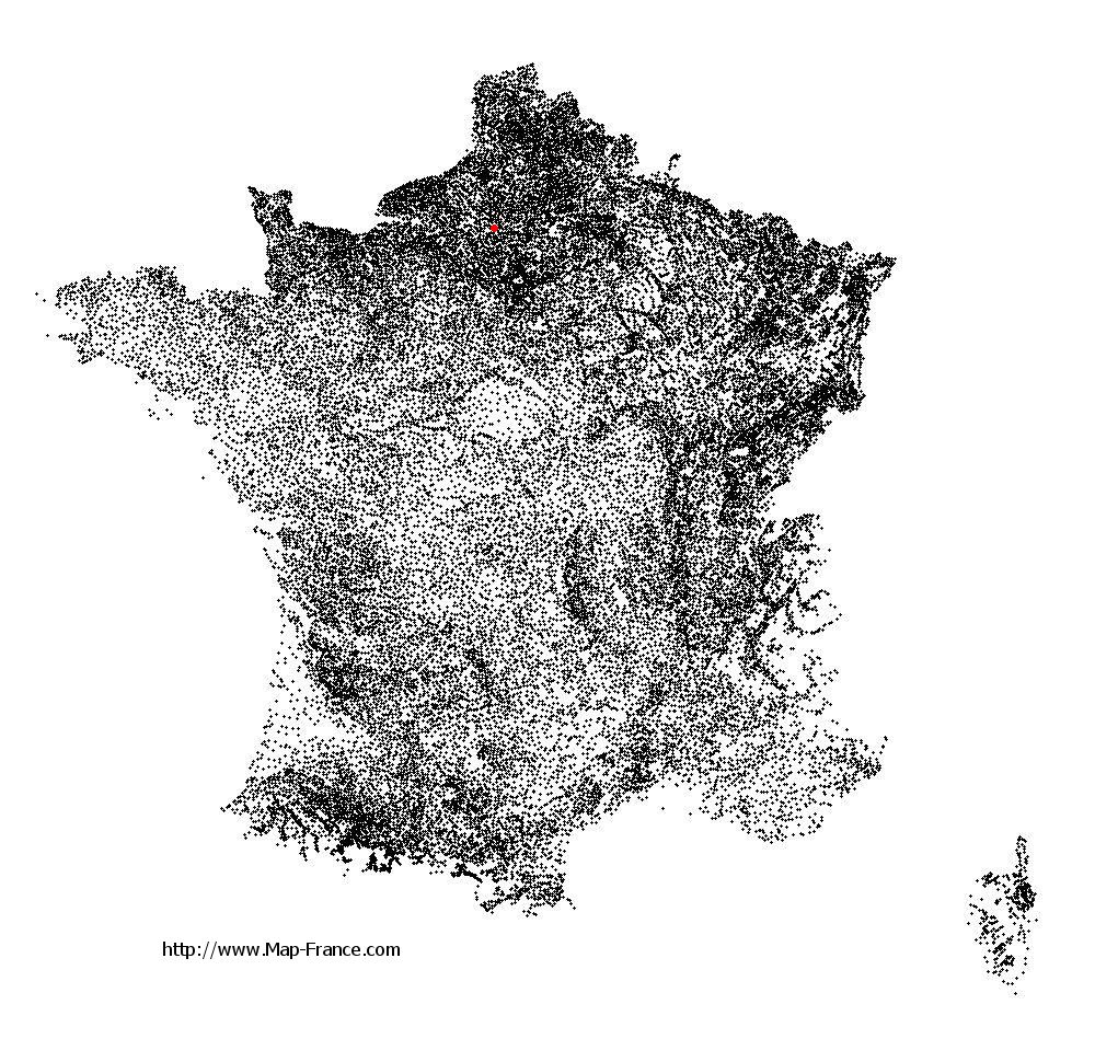
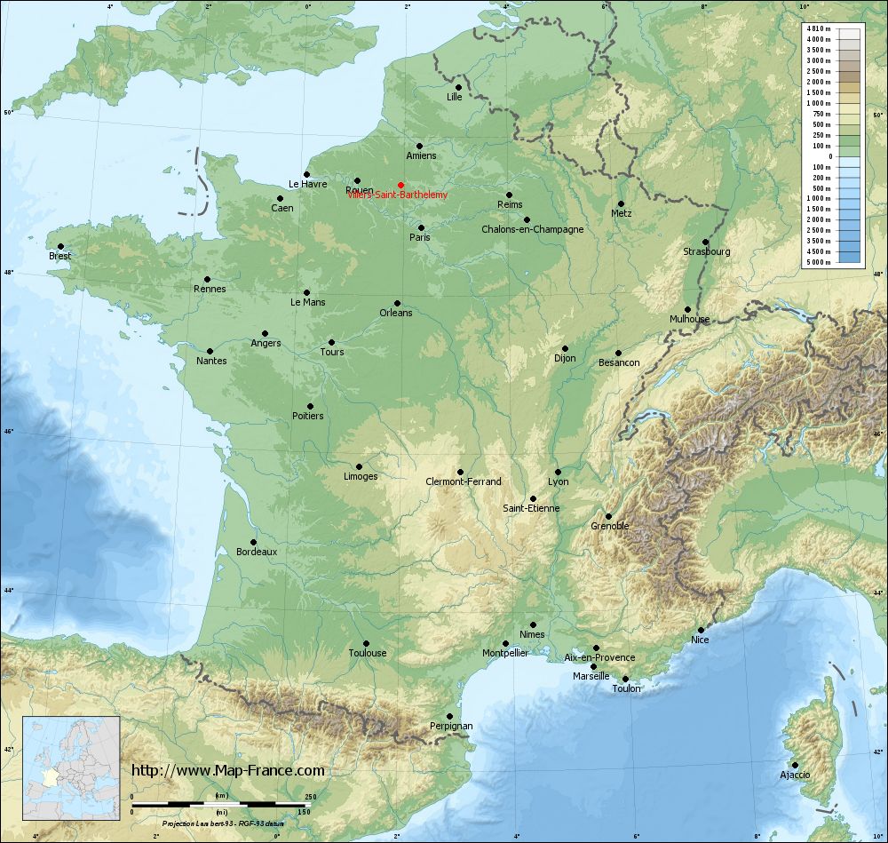
Villers-Saint-Barthélemy on the relief France map in Lambert 93 coordinates
|
See the map of Villers-Saint-Barthélemy in full screen (1000 x 949)
|
At left, here is the location of Villers-Saint-Barthélemy on the relief France map in Lambert 93 coordinates.
Here are the altitudes of Villers-Saint-Barthélemy :
- Town hall altitude of Villers-Saint-Barthélemy is 140 meters
- Minimum altitude of Villers-Saint-Barthélemy is 79 meters
- Maximum altitude of Villers-Saint-Barthélemy is 185 meters
- Medium altitude of Villers-Saint-Barthélemy is 132 meters
Here are the altitudes of Beauvais, prefecture of Oise department:
- Town hall altitude of Beauvais is 67 meters
- Minimum altitude of Beauvais is 57 meters
- Maximum altitude of Beauvais is 170 meters
- Medium altitude of Beauvais is 114 meters
Here are the altitudes of the french biggest cities:
Paris : 33 meters
Marseille : 20 meters
Lyon : 237 meters
Toulouse : 146 meters
Nice : 10 meters
Nantes : 20 meters
Strasbourg : 144 meters
Montpellier : 35 meters
Bordeaux : 16 meters
Lille : 20 meters
Rennes : 35 meters
Reims : 83 meters
Click here for the terrain map of Villers-Saint-Barthélemy in full screen:
Relief map of Villers-Saint-Barthélemy
|
This relief map of Villers-Saint-Barthélemy is reusable and modifiable by making a link to this page of the Map-France.com website or by using the given code :
|
Terrain base map of Villers-Saint-Barthélemy
|

See the terrain base map of Villers-Saint-Barthélemy in full screen (1000 x 949)
|
Small relief base map of Villers-Saint-Barthélemy

|
This base map of Villers-Saint-Barthélemy is reusable and modifiable by making a link to this page of the Map-France.com website or by using the given code :
|
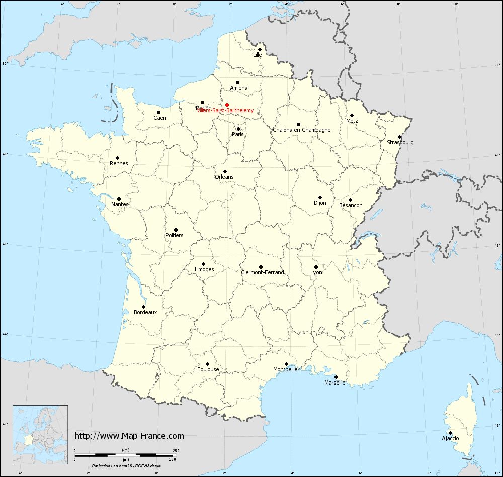
Map of Villers-Saint-Barthélemy with regions and prefectures
|
View the map of Villers-Saint-Barthélemy in full screen (1000 x 949)
|
You will find the location of Villers-Saint-Barthélemy on the map of France of regions in Lambert 93 coordinates. The town of Villers-Saint-Barthélemy is located in the department of Oise of the french region Picardie.
Geographical sexagesimal coordinates / GPS (WGS84):
Latitude: 49° 23' 53'' North
Longitude: 01° 56' 52'' East
Geographical decimal coordinates :
Latitude: 49.396 degrees (49.396° North)
Longitude: 1.951 degrees (1.951° East)
Lambert 93 coordinates :
X: 6 236 hectometers
Y: 69 226 hectometers
Lambert 2 coordinates :
X: 5 718 hectometers
Y: 24 890 hectometers
Below, the geographical coordinates of Beauvais, prefecture of the Oise department:
Geographical sexagesimal coordinates / GPS (WGS84):
Latitude: 49° 26' 03'' North
Longitude: 02° 05' 15'' East
Geographical decimal coordinates :
Latitude: 49.435 degrees (49.435° North)
Longitude: 2.082 degrees (2.082° East)
Lambert 93 coordinates :
X: 6 338 hectometers
Y: 69 265 hectometers
Lambert 2 coordinates :
X: 5 819 hectometers
Y: 24 930 hectometers
|
This map of Villers-Saint-Barthélemy is reusable and modifiable by making a link to this page of the Map-France.com website or by using the given code :
|
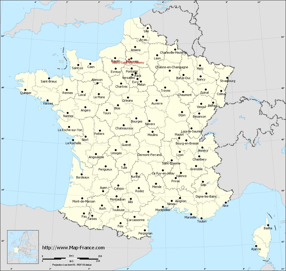
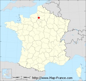
Map of Villers-Saint-Barthélemy with departments and prefectures
|
Voir la carte of Villers-Saint-Barthélemy en grand format (1000 x 949)
|
Here is the localization of Villers-Saint-Barthélemy on the France map of departments in Lambert 93 coordinates. The city of Villers-Saint-Barthélemy is shown on the map by a red point.
The town of Villers-Saint-Barthélemy is located in the department of Oise of the french region Picardie.
The latitude of Villers-Saint-Barthélemy is 49.396 degrees North.
The longitude of Villers-Saint-Barthélemy is 1.951 degrees East.
Here the distance between Villers-Saint-Barthélemy and the biggest cities of France:
Distances are calculated as the crow flies (orthodromic distance)
Distance between Villers-Saint-Barthélemy and Paris : 65.99 kilometers
Distance between Villers-Saint-Barthélemy and Marseille : 727.14 kilometers
Distance between Villers-Saint-Barthélemy and Lyon : 458.08 kilometers
Distance between Villers-Saint-Barthélemy and Toulouse : 645.06 kilometers
Distance between Villers-Saint-Barthélemy and Nice : 750.78 kilometers
Distance between Villers-Saint-Barthélemy and Nantes : 354.25 kilometers
Distance between Villers-Saint-Barthélemy and Strasbourg : 432.62 kilometers
Distance between Villers-Saint-Barthélemy and Montpellier : 659.49 kilometers
Distance between Villers-Saint-Barthélemy and Bordeaux : 540.57 kilometers
Distance between Villers-Saint-Barthélemy and Lille : 157.65 kilometers
Distance between Villers-Saint-Barthélemy and Rennes : 301.97 kilometers
Distance between Villers-Saint-Barthélemy and Reims : 151.44 kilometers
Clic here to see the map of Villers-Saint-Barthélemy in full screen:
Villers-Saint-Barthélemy on the map of french departments
|
This administrative map of Villers-Saint-Barthélemy is reusable and modifiable by making a link to this page of the Map-France.com website or by using the given code :
|
Administrative base maps of Villers-Saint-Barthélemy
|

See the administrative base map of Villers-Saint-Barthélemy in full screen (1000 x 949)
|
Small administrative base map of Villers-Saint-Barthélemy
|
This base map administrative of Villers-Saint-Barthélemy is reusable and modifiable by making a link to this page of the Map-France.com website or by using the given code :
|
 French Version : http://www.cartesfrance.fr