Villers-lès-Roye on the relief France map in Lambert 93 coordinates
|
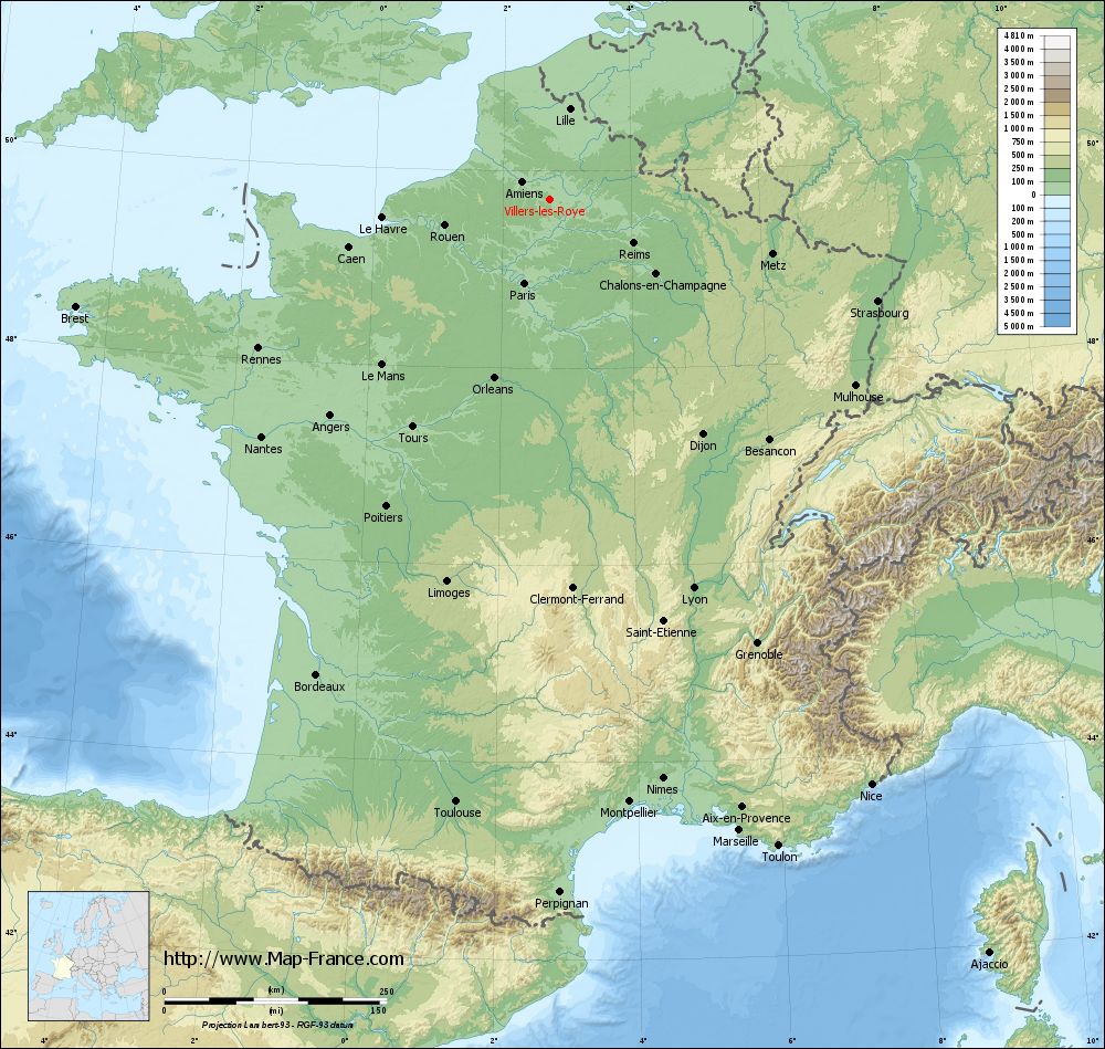
See the map of Villers-lès-Roye in full screen (1000 x 949)
|
At left, here is the location of Villers-lès-Roye on the relief France map in Lambert 93 coordinates.
Here are the altitudes of Villers-lès-Roye :
- Town hall altitude of Villers-lès-Roye is 90 meters
- Minimum altitude of Villers-lès-Roye is 62 meters
- Maximum altitude of Villers-lès-Roye is 99 meters
- Medium altitude of Villers-lès-Roye is 81 meters
Here are the altitudes of Amiens, prefecture of Somme department:
- Town hall altitude of Amiens is 35 meters
- Minimum altitude of Amiens is 14 meters
- Maximum altitude of Amiens is 106 meters
- Medium altitude of Amiens is 60 meters
Here are the altitudes of the french biggest cities:
Paris : 33 meters
Marseille : 20 meters
Lyon : 237 meters
Toulouse : 146 meters
Nice : 10 meters
Nantes : 20 meters
Strasbourg : 144 meters
Montpellier : 35 meters
Bordeaux : 16 meters
Lille : 20 meters
Rennes : 35 meters
Reims : 83 meters
Click here for the terrain map of Villers-lès-Roye in full screen:
Relief map of Villers-lès-Roye
|
This relief map of Villers-lès-Roye is reusable and modifiable by making a link to this page of the Map-France.com website or by using the given code :
|
Terrain base map of Villers-lès-Roye
|

See the terrain base map of Villers-lès-Roye in full screen (1000 x 949)
|
Small relief base map of Villers-lès-Roye

|
This base map of Villers-lès-Roye is reusable and modifiable by making a link to this page of the Map-France.com website or by using the given code :
|
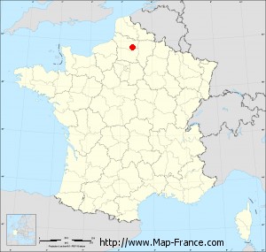
Map of Villers-lès-Roye with regions and prefectures
|
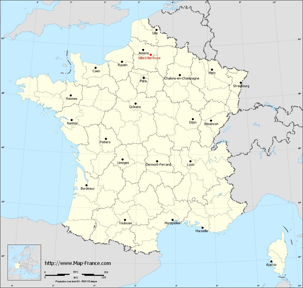
View the map of Villers-lès-Roye in full screen (1000 x 949)
|
You will find the location of Villers-lès-Roye on the map of France of regions in Lambert 93 coordinates. The town of Villers-lès-Roye is located in the department of Somme of the french region Picardie.
Geographical sexagesimal coordinates / GPS (WGS84):
Latitude: 49° 42' 22'' North
Longitude: 02° 43' 56'' East
Geographical decimal coordinates :
Latitude: 49.707 degrees (49.707° North)
Longitude: 2.732 degrees (2.732° East)
Lambert 93 coordinates :
X: 6 807 hectometers
Y: 69 564 hectometers
Lambert 2 coordinates :
X: 6 286 hectometers
Y: 25 233 hectometers
Below, the geographical coordinates of Amiens, prefecture of the Somme department:
Geographical sexagesimal coordinates / GPS (WGS84):
Latitude: 49° 53' 31'' North
Longitude: 02° 17' 52'' East
Geographical decimal coordinates :
Latitude: 49.894 degrees (49.894° North)
Longitude: 2.293 degrees (2.293° East)
Lambert 93 coordinates :
X: 6 495 hectometers
Y: 69 772 hectometers
Lambert 2 coordinates :
X: 5 972 hectometers
Y: 25 439 hectometers
|
This map of Villers-lès-Roye is reusable and modifiable by making a link to this page of the Map-France.com website or by using the given code :
|
Map of Villers-lès-Roye with departments and prefectures
|
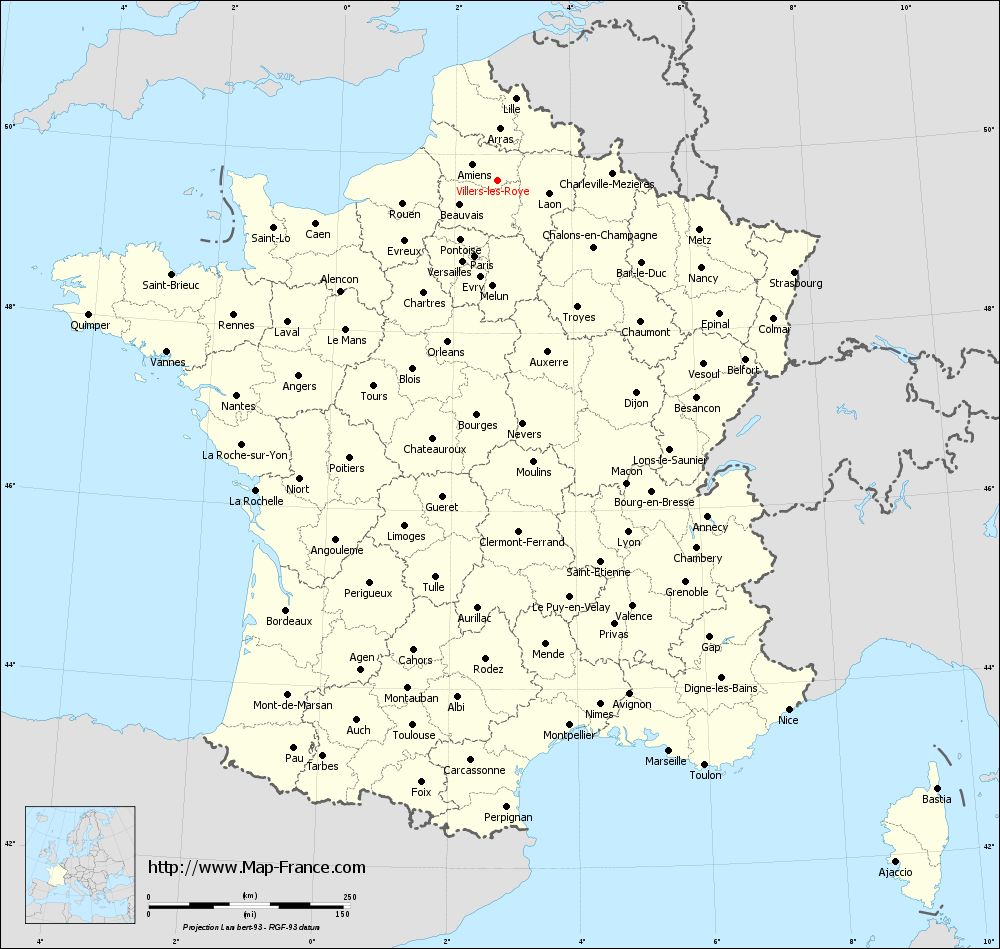
Voir la carte of Villers-lès-Roye en grand format (1000 x 949)
|
Here is the localization of Villers-lès-Roye on the France map of departments in Lambert 93 coordinates. The city of Villers-lès-Roye is shown on the map by a red point.
The town of Villers-lès-Roye is located in the department of Somme of the french region Picardie.
The latitude of Villers-lès-Roye is 49.707 degrees North.
The longitude of Villers-lès-Roye is 2.732 degrees East.
Here the distance between Villers-lès-Roye and the biggest cities of France:
Distances are calculated as the crow flies (orthodromic distance)
Distance between Villers-lès-Roye and Paris : 98.05 kilometers
Distance between Villers-lès-Roye and Marseille : 740.63 kilometers
Distance between Villers-lès-Roye and Lyon : 465.79 kilometers
Distance between Villers-lès-Roye and Toulouse : 685.47 kilometers
Distance between Villers-lès-Roye and Nice : 750.42 kilometers
Distance between Villers-lès-Roye and Nantes : 419.49 kilometers
Distance between Villers-lès-Roye and Strasbourg : 385.76 kilometers
Distance between Villers-lès-Roye and Montpellier : 683.06 kilometers
Distance between Villers-lès-Roye and Bordeaux : 594.95 kilometers
Distance between Villers-lès-Roye and Lille : 104.76 kilometers
Distance between Villers-lès-Roye and Rennes : 367.84 kilometers
Distance between Villers-lès-Roye and Reims : 106.23 kilometers
Clic here to see the map of Villers-lès-Roye in full screen:
Villers-lès-Roye on the map of french departments
|
This administrative map of Villers-lès-Roye is reusable and modifiable by making a link to this page of the Map-France.com website or by using the given code :
|
Administrative base maps of Villers-lès-Roye
|

See the administrative base map of Villers-lès-Roye in full screen (1000 x 949)
|
Small administrative base map of Villers-lès-Roye
|
This base map administrative of Villers-lès-Roye is reusable and modifiable by making a link to this page of the Map-France.com website or by using the given code :
|
 French Version : http://www.cartesfrance.fr