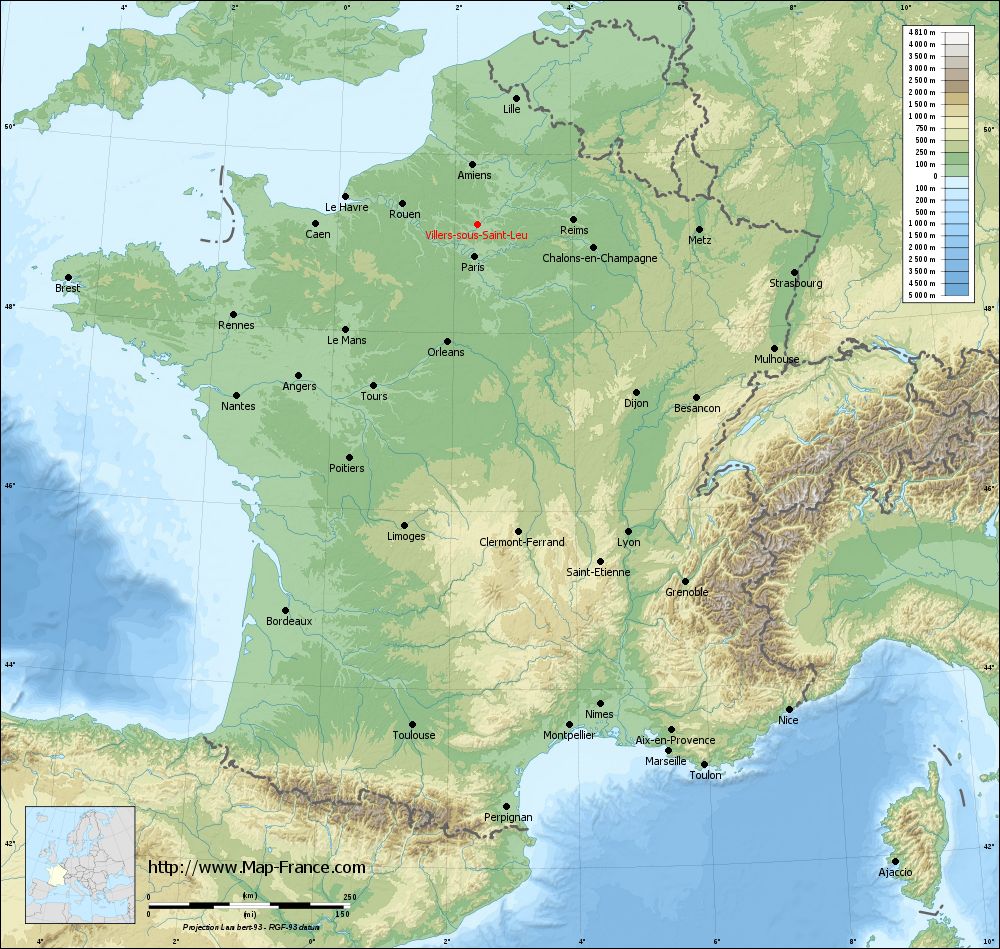
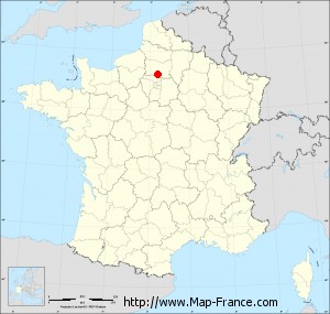
Villers-sous-Saint-Leu on the relief France map in Lambert 93 coordinates
|
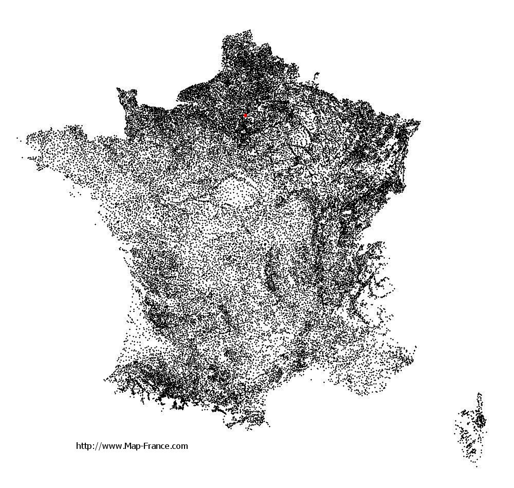
See the map of Villers-sous-Saint-Leu in full screen (1000 x 949)
|
At left, here is the location of Villers-sous-Saint-Leu on the relief France map in Lambert 93 coordinates.
Here are the altitudes of Villers-sous-Saint-Leu :
- Town hall altitude of Villers-sous-Saint-Leu is 32 meters
- Minimum altitude of Villers-sous-Saint-Leu is 26 meters
- Maximum altitude of Villers-sous-Saint-Leu is 123 meters
- Medium altitude of Villers-sous-Saint-Leu is 75 meters
Here are the altitudes of Beauvais, prefecture of Oise department:
- Town hall altitude of Beauvais is 67 meters
- Minimum altitude of Beauvais is 57 meters
- Maximum altitude of Beauvais is 170 meters
- Medium altitude of Beauvais is 114 meters
Here are the altitudes of the french biggest cities:
Paris : 33 meters
Marseille : 20 meters
Lyon : 237 meters
Toulouse : 146 meters
Nice : 10 meters
Nantes : 20 meters
Strasbourg : 144 meters
Montpellier : 35 meters
Bordeaux : 16 meters
Lille : 20 meters
Rennes : 35 meters
Reims : 83 meters
Click here for the terrain map of Villers-sous-Saint-Leu in full screen:
Relief map of Villers-sous-Saint-Leu
|
This relief map of Villers-sous-Saint-Leu is reusable and modifiable by making a link to this page of the Map-France.com website or by using the given code :
|
Terrain base map of Villers-sous-Saint-Leu
|

See the terrain base map of Villers-sous-Saint-Leu in full screen (1000 x 949)
|
Small relief base map of Villers-sous-Saint-Leu

|
This base map of Villers-sous-Saint-Leu is reusable and modifiable by making a link to this page of the Map-France.com website or by using the given code :
|
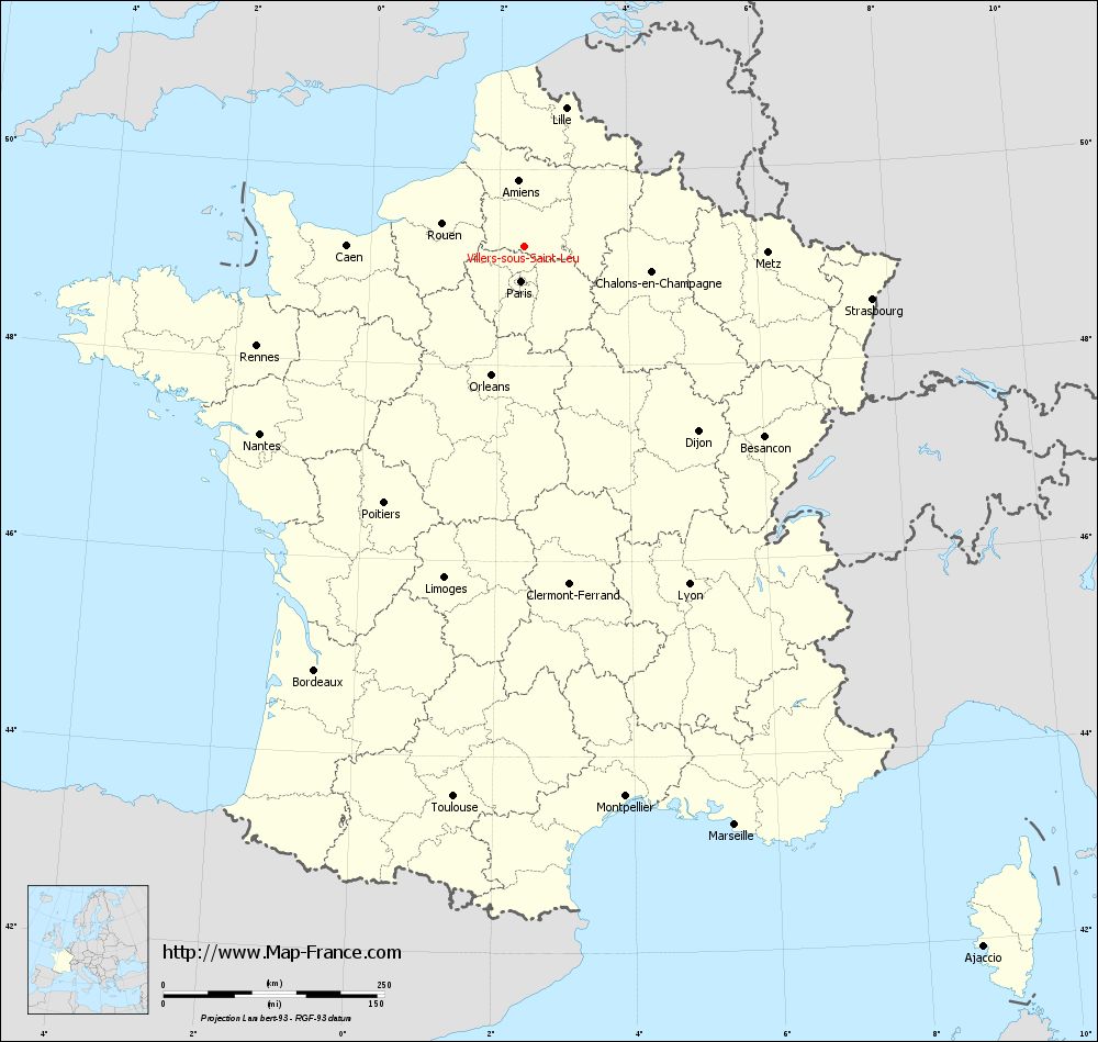
Map of Villers-sous-Saint-Leu with regions and prefectures
|
View the map of Villers-sous-Saint-Leu in full screen (1000 x 949)
|
You will find the location of Villers-sous-Saint-Leu on the map of France of regions in Lambert 93 coordinates. The city of Villers-sous-Saint-Leu is located in the department of Oise of the french region Picardie.
Geographical sexagesimal coordinates / GPS (WGS84):
Latitude: 49° 12' 45'' North
Longitude: 02° 23' 53'' East
Geographical decimal coordinates :
Latitude: 49.214 degrees (49.214° North)
Longitude: 2.397 degrees (2.397° East)
Lambert 93 coordinates :
X: 6 561 hectometers
Y: 69 016 hectometers
Lambert 2 coordinates :
X: 6 045 hectometers
Y: 24 683 hectometers
Below, the geographical coordinates of Beauvais, prefecture of the Oise department:
Geographical sexagesimal coordinates / GPS (WGS84):
Latitude: 49° 26' 03'' North
Longitude: 02° 05' 15'' East
Geographical decimal coordinates :
Latitude: 49.435 degrees (49.435° North)
Longitude: 2.082 degrees (2.082° East)
Lambert 93 coordinates :
X: 6 338 hectometers
Y: 69 265 hectometers
Lambert 2 coordinates :
X: 5 819 hectometers
Y: 24 930 hectometers
|
This map of Villers-sous-Saint-Leu is reusable and modifiable by making a link to this page of the Map-France.com website or by using the given code :
|
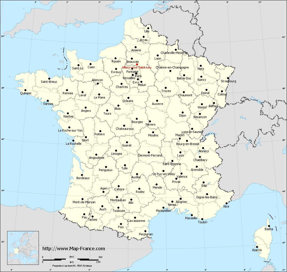
Map of Villers-sous-Saint-Leu with departments and prefectures
|
Voir la carte of Villers-sous-Saint-Leu en grand format (1000 x 949)
|
Here is the localization of Villers-sous-Saint-Leu on the France map of departments in Lambert 93 coordinates. The city of Villers-sous-Saint-Leu is shown on the map by a red point.
The city of Villers-sous-Saint-Leu is located in the department of Oise of the french region Picardie.
The latitude of Villers-sous-Saint-Leu is 49.214 degrees North.
The longitude of Villers-sous-Saint-Leu is 2.397 degrees East.
Here the distance between Villers-sous-Saint-Leu and the biggest cities of France:
Distances are calculated as the crow flies (orthodromic distance)
Distance between Villers-sous-Saint-Leu and Paris : 39.44 kilometers
Distance between Villers-sous-Saint-Leu and Marseille : 696.52 kilometers
Distance between Villers-sous-Saint-Leu and Lyon : 425.15 kilometers
Distance between Villers-sous-Saint-Leu and Toulouse : 627.96 kilometers
Distance between Villers-sous-Saint-Leu and Nice : 716.01 kilometers
Distance between Villers-sous-Saint-Leu and Nantes : 366.92 kilometers
Distance between Villers-sous-Saint-Leu and Strasbourg : 397.51 kilometers
Distance between Villers-sous-Saint-Leu and Montpellier : 632.94 kilometers
Distance between Villers-sous-Saint-Leu and Bordeaux : 535.18 kilometers
Distance between Villers-sous-Saint-Leu and Lille : 163.77 kilometers
Distance between Villers-sous-Saint-Leu and Rennes : 323.45 kilometers
Distance between Villers-sous-Saint-Leu and Reims : 118.65 kilometers
Clic here to see the map of Villers-sous-Saint-Leu in full screen:
Villers-sous-Saint-Leu on the map of french departments
|
This administrative map of Villers-sous-Saint-Leu is reusable and modifiable by making a link to this page of the Map-France.com website or by using the given code :
|
Administrative base maps of Villers-sous-Saint-Leu
|

See the administrative base map of Villers-sous-Saint-Leu in full screen (1000 x 949)
|
Small administrative base map of Villers-sous-Saint-Leu
|
This base map administrative of Villers-sous-Saint-Leu is reusable and modifiable by making a link to this page of the Map-France.com website or by using the given code :
|
 French Version : http://www.cartesfrance.fr