|
The city of Viriat is a french city located south east of France. The city of Viriat is located in the department of Ain of the french region Rhône-Alpes. The city of Viriat is located in the township of Viriat part of the district of Bourg-en-Bresse. The area code for Viriat is 01451 (also known as code INSEE), and the Viriat zip code is 01440.
Geography and map of Viriat :
The altitude of the city hall of Viriat is approximately 227 meters. The Viriat surface is 45.03 km ². The latitude and longitude of Viriat are 46.254 degrees North and 5.216 degrees East.
Nearby cities and towns of Viriat are :
Bourg-en-Bresse (01000) at 5.49 km, Attignat (01340) at 5.78 km, Saint-Denis-lès-Bourg (01000) at 6.01 km, Polliat (01310) at 6.88 km, Saint-Étienne-du-Bois (01370) at 6.97 km, Cras-sur-Reyssouze (01340) at 7.23 km, Buellas (01310) at 8.01 km, Péronnas (01960) at 8.05 km.
(The distances to these nearby towns of Viriat are calculated as the crow flies)
Population and housing of Viriat :
The population of Viriat was 5 287 in 1999, 5 665 in 2006 and 5 719 in 2007. The population density of Viriat is 127.00 inhabitants per km². The number of housing of Viriat was 2 301 in 2007. These homes of Viriat consist of 2 198 main residences, 34 second or occasional homes and 69 vacant homes. |
|
|
Hotel Viriat
|
|
|
Book now ! Best Price Guaranteed, no booking fees, pay at the hotel with our partner Booking.com, leader in online hotel reservation.
Find all hotels of Viriat : Hotel Viriat
| |
|
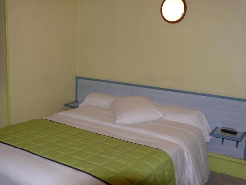
Bed and Breakfast : Le Moulin de Champagne
Housed in a 13th-century renovated mill, Le Moulin de Champagne is 2 km from the centre of Viriat and 7 km from the A40 motorway. It offers free Wi-Fi access in communal areas a...
Rate : from 60.00 €
to 120.00 €
Address : 200 chemin du Moulin de Champagne 01440 Viriat
Distance Bed and Breakfast - Viriat : 1.78 km
|
|
|
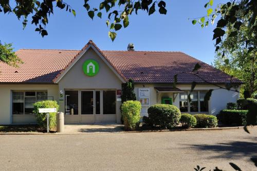
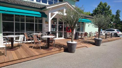
Hotel : Campanile Bourg-En-Bresse ~ Viriat

This Campanile hotel is located 4 km from the centre of Bourg-en-Bresse, in the Rhone-Alpes region. It offers comfortable accommodation with free parking. The guest rooms are e...
Price : from 49.00 €
to 85.00 €
Contact : Rue Des Vareys, Parc D'activités De La Chambière 01440 Viriat
Distance Hotel - Viriat : 3.63 km
|
|

|
Hotel : Promotel Bourg-en-Bresse
Promotel Bourg-en-Bresse offers comfortable and affordable accommodation near the motorway, just 3 km from the town centre and 5 km from the train station. Guests can make use ...
Prices : from 31.00 €
to 76.00 €
Contact : Parc D'activité De La Chambière, 694 D, Rue Des Vareys 01440 Viriat
Distance Hotel - Viriat : 3.70 km
|
|
|
Hotel : Fasthotel Bourg En Bresse
The Fasthotel Bourg En Bresse provides comfortable and affordable accommodation 5 minutes from the A40 motorway and 10 minutes from the centre of Bourg-en-Bresse. Guestrooms at...
Rate : from 35.00 €
to 58.00 €
Contact : 694 E Rue des Vareys, Parc de la Chambiere 01440 Viriat
Distance Hotel - Viriat : 3.71 km
|
|

|
Hotel : ibis budget Bourg en Bresse
Located just outside Bourg-en-Bresse, this ibis Budget hotel is 2 km from the town centre. It offers simple air-conditioned accommodation and a breakfast room with a terrace, ju...
Price : from 46.80 €
to 56.00 €
Address : 409, avenue de Parme 01000 Bourg-en-Bresse
Distance Hotel - Viriat : 4.73 km
|
|
|
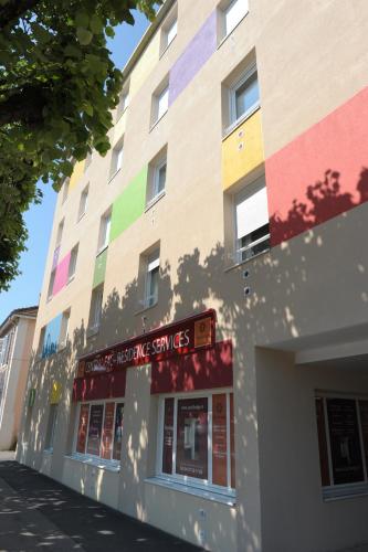
Apartment : Central Fac

Central Fac offers self-catering accommodations located in Bourg-en-Bresse. Free WiFi access is available. The property is 6 km from Ainterexpo and a 5-minute walk from the city...
Prices : from 45.00 €
to 65.00 €
Contact : 49, Avenue Maginot 01000 Bourg-en-Bresse
Distance Apartment - Viriat : 4.88 km
|
|
|
Hotel : Mercure Bourg En Bresse
This Mercure is situated in a quiet residential area close to the city centre of Bourg en Bresse and is near the Brou Church, the exhibition centre and highway A40. Mercure Bou...
Rate : from 70.00 €
to 238.00 €
Contact : 10 Avenue De Bad Kreuznach 01000 Bourg-en-Bresse
Distance Hotel - Viriat : 5.03 km
|
|
|
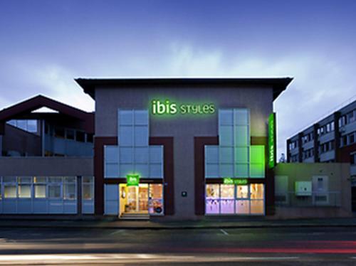
Hotel : ibis Styles Bourg en Bresse
This ibis Styles Hotel features bright rooms with contemporary furnishings. Located between Lyon and Geneva, it is just a 5-minute walk from the cathedral in Bourg-en-Bresse tow...
Price : from 53.00 €
to 116.00 €
Contact : 12 rue du Pavé d'Amour 01000 Bourg-en-Bresse
Distance Hotel - Viriat : 5.09 km
|
|
|
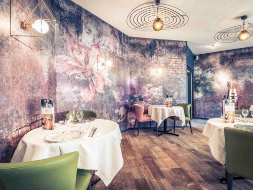
Hotel : Hotel Bressan du XX° Siecle
This 20th-century hotel is located at the heart of Bourg-en-Bresse in the Rhône-Alpes region. Notre Dame Cathedral is 300 metres away and many theatres and cinemas are within wa...
Prices : from 42.50 €
to 90.00 €
Address : 5 avenue Maginot 01000 Bourg-en-Bresse
Distance Hotel - Viriat : 5.24 km
|
|
|
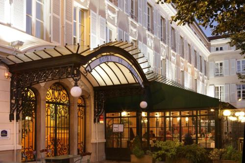
Hotel : Best Western Hôtel de France
The Best Western Hôtel de France stands on the main square in Bourg en Bresse. This non-smoking hotel offers a terrace, free WiFi throughout the property, a restaurant and a bar...
Rate : from 76.50 €
to 207.00 €
Contact : 19 Place Bernard 01000 Bourg-en-Bresse
Distance Hotel - Viriat : 5.38 km
|
|
Find another hotel near Viriat : Viriat hotels list
|
Map of Viriat
|
|
Map of Viriat :
At right you can find the localization of Viriat on the map of France. Below, this is the satellite map of Viriat. A road map, and maps templates of Viriat are available here : "road map of Viriat". This map show Viriat seen by the satellite of Google Map. To see the streets of Viriat or move on another zone, use the buttons "zoom" and "map" on top of this dynamic map.
Search on the map of Viriat :
To search hotels, housings, tourist information office, administrations or other services, use the Google search integrated to the map on the following page : "map Viriat".
Hotels of Viriat are listed on the map with the following icons: 
The map of Viriat is centred in the following coordinates :
|

|
|
|
|
Print the map of Viriat

Print the map of Viriat : map of Viriat
|
Photos Viriat
|
See all photos of Viriat :
Other photos of Viriat and nearby towns can be found here: photos Viriat
|
These photos taken near the city of Viriat can be shown in full screen clicking on the thumbnails. Photos are copyrighted by their owners.
| | |
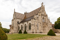
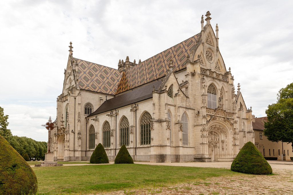
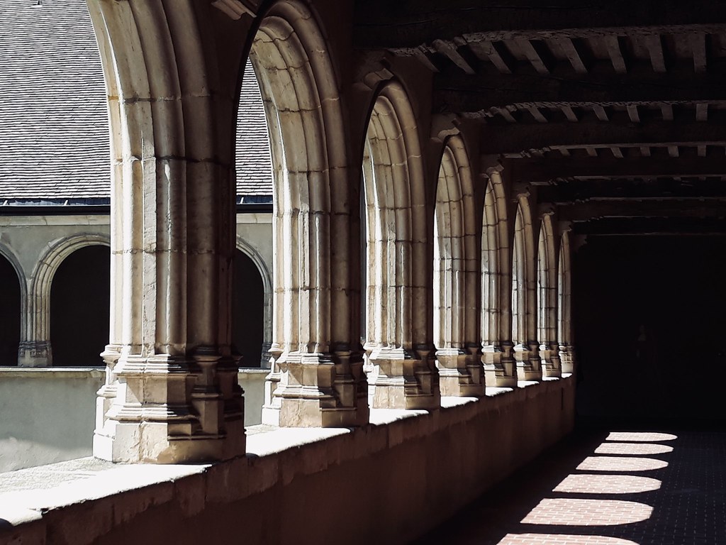
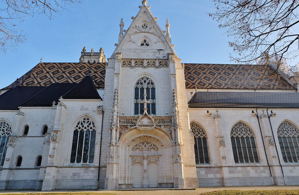
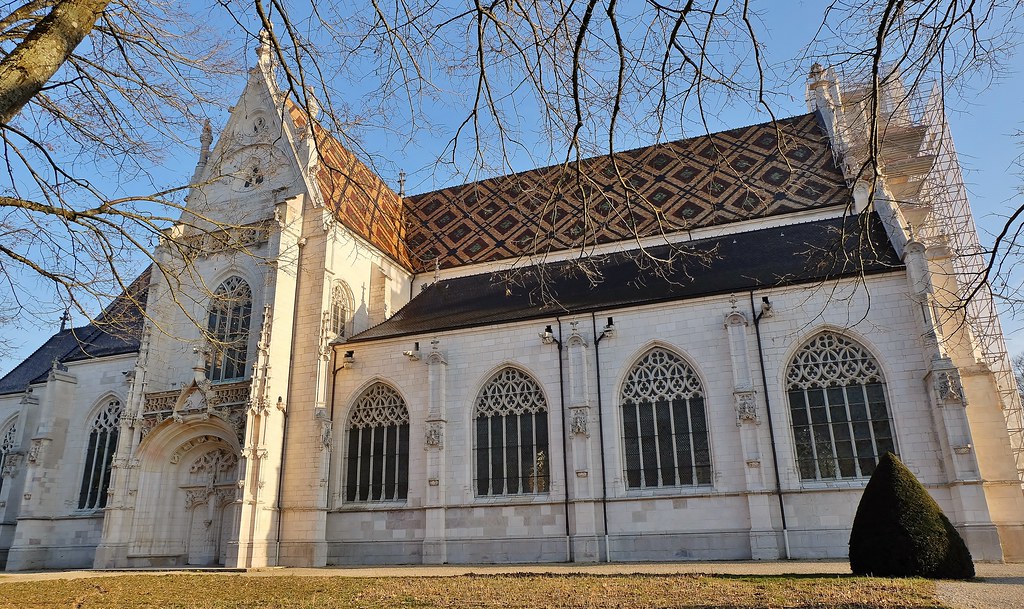
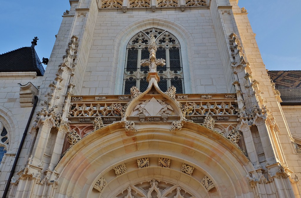
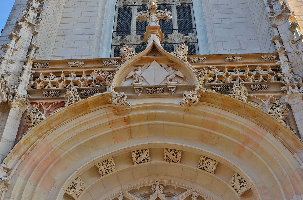
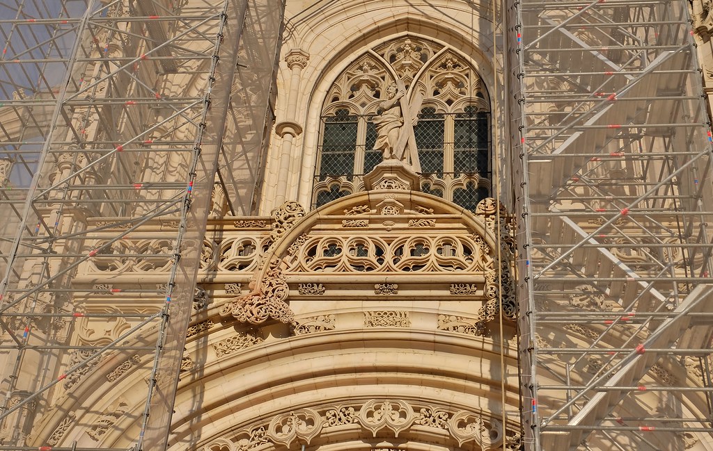
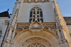
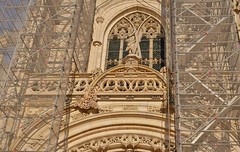
Monastère de Brou
|
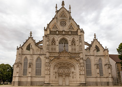
Monastère de Brou
|
| |

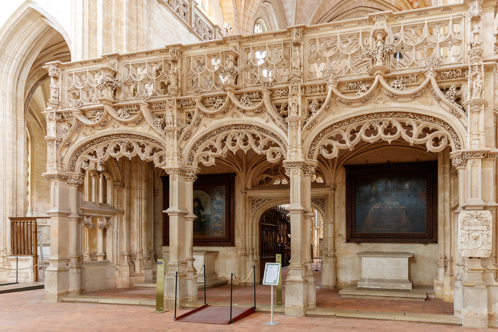
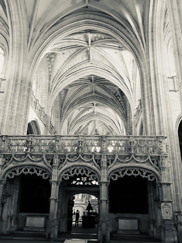
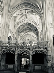
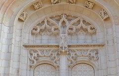
Jubé
|

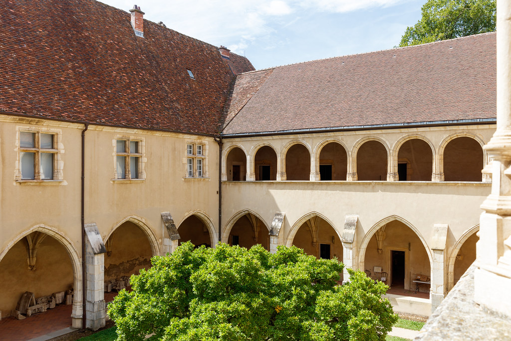
Premier cloître, dit des hôtes
|
| |
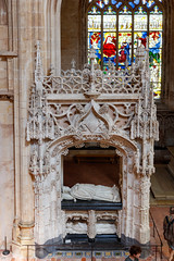
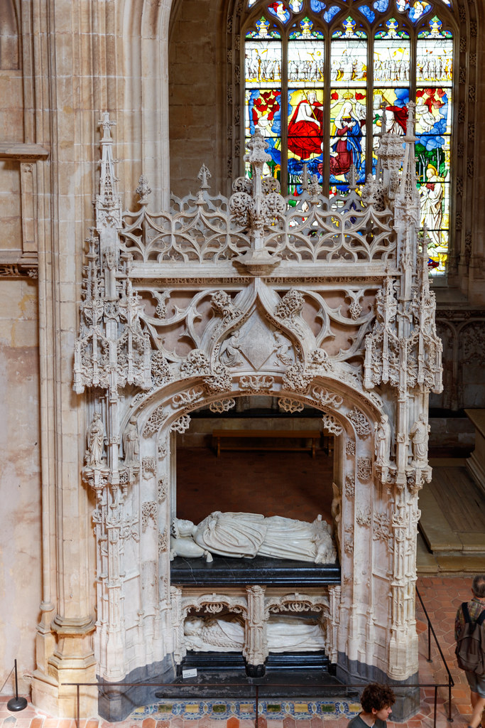
Tombeau de Marguerite d’Autriche
|
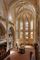
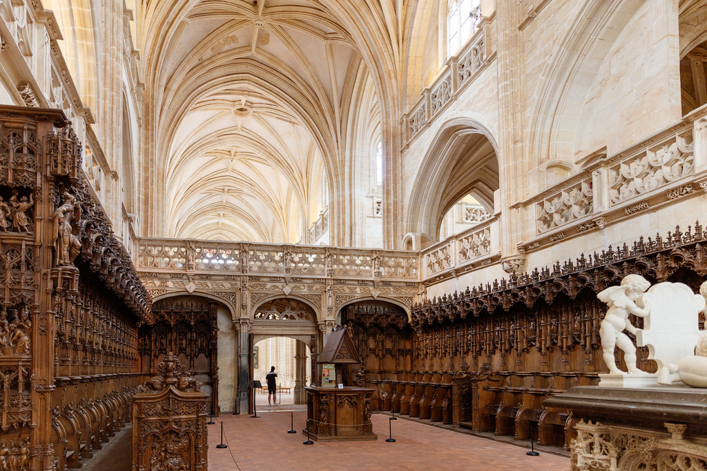
Chœur du monastère de Brou
|
| |
Chœur du monastère de Brou
|
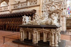
Tombeau de Philibert II le beau
|
| |
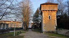
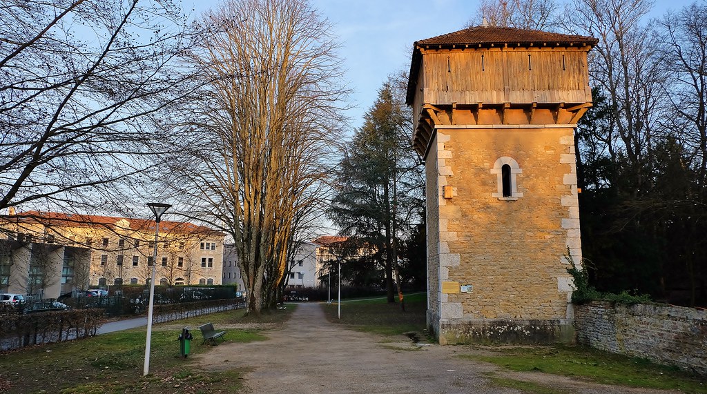
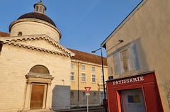
Bourg en Bresse, pigeonnier
|

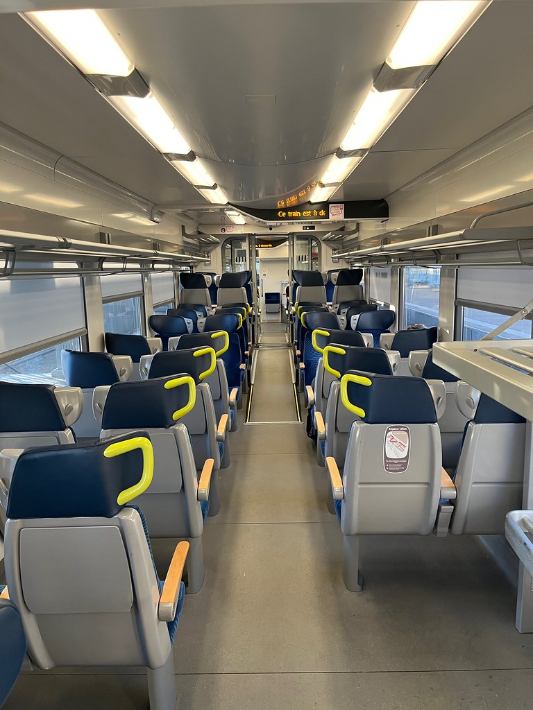
Régiolis TER train interior. Rather bland
|
| |
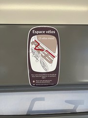
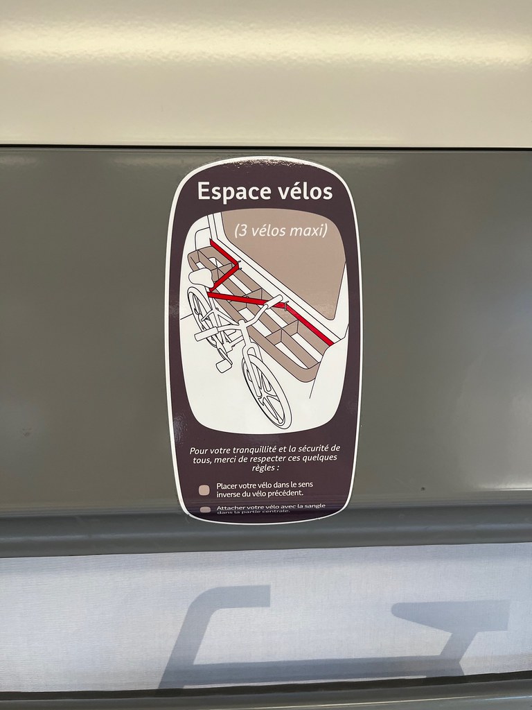
Régiolis trains have a clever combined skis / bikes / luggage rack
|

Régiolis TER Bourgogne Franche Comté, Bourg en Bresse
|
| |

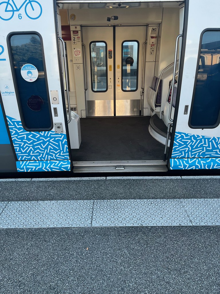
TER Auvergne-Rhône-Alpes AGC train at Bourg-en-Bresse
|
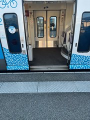
Step free boarding - TER Auvergne-Rhône-Alpes AGC train at Bourg-en-Bresse
|
| |

image_00032
|
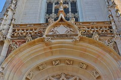
Monastère de BROU
|
| |

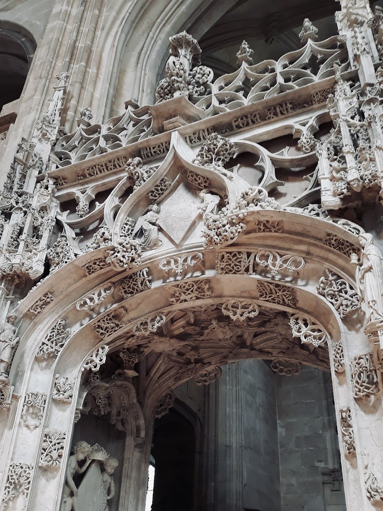
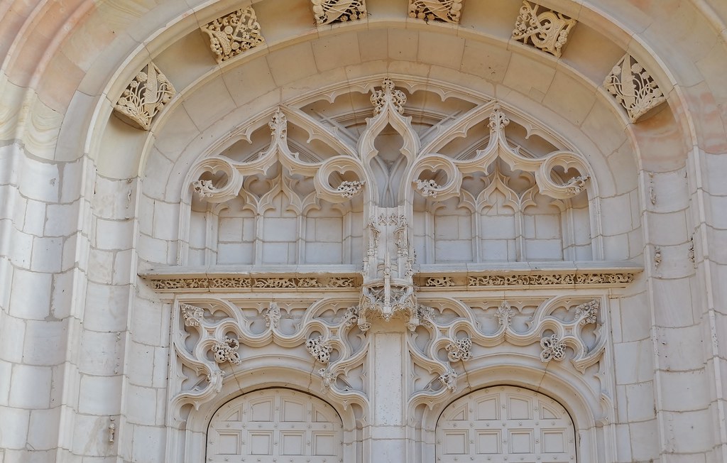
Dentelle
|
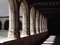
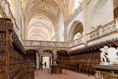
Cloître monastère de BROU
|
| |
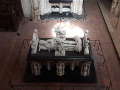
Tombeau
|

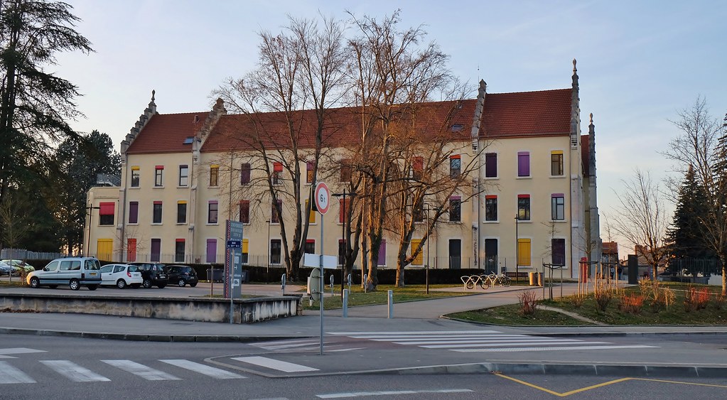
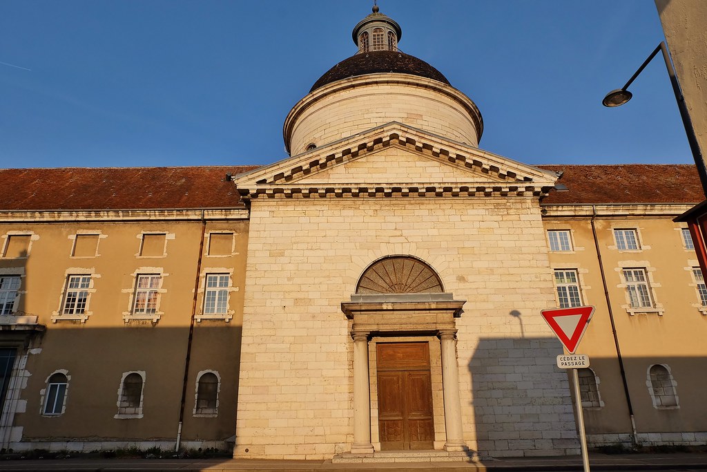
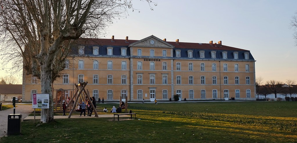
Maison de Charité de Bourg-en-Bresse, Aujourd’hui, Université Jean Moulin-Lyon III.
|
| |

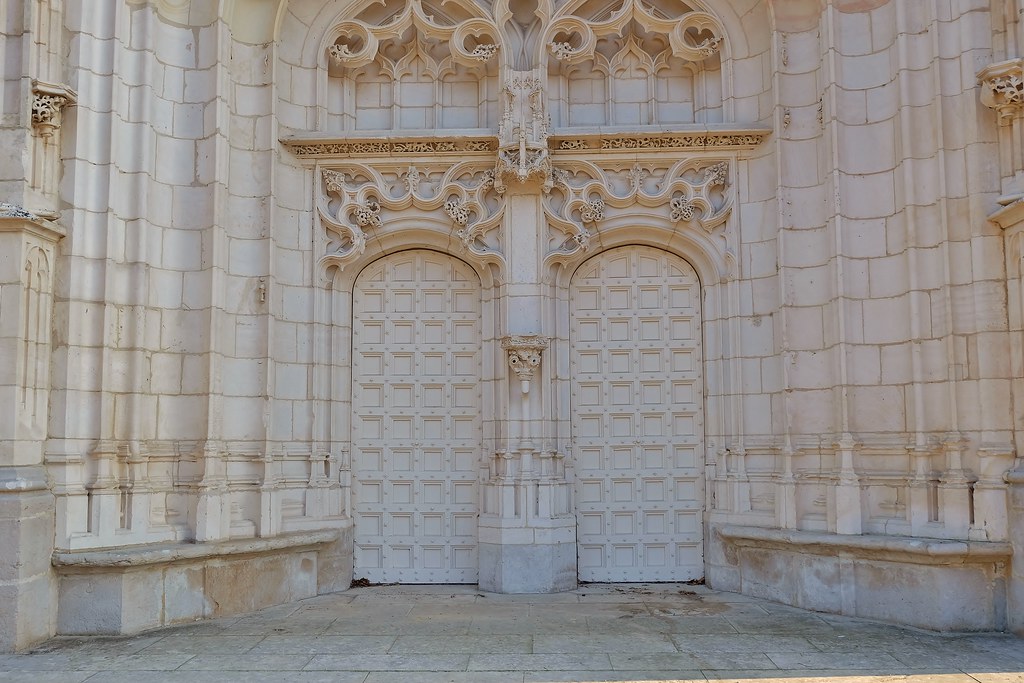
Bourg en Bresse, Monastere royal de Brou
|
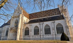
Bourg en Bresse, Monastere royal de Brou
|
| |
Bourg en Bresse, Monastere royal de Brou
|
Bourg en Bresse, Monastere royal de Brou
|
| |

Bourg en Bresse, Monastere royal de Brou
|
Bourg en Bresse, Monastere royal de Brou
|
| |

Bourg en Bresse, Monastere royal de Brou
|
Bourg en Bresse, Monastere royal de Brou
|
| |

Bourg en Bresse, Ancienne caserne
|
Monastere royal de Brou, Bourg en Bresse
|
|
Viriat weather forecast
Find next hours and 7 days weather forecast for Viriat here : weather Viriat (with english metrics)
This is the last weather forecast for Viriat collected by the nearest observation station of Viriat.
Week Forecast:
The latest weather data for Viriat were collected Friday, 31 July 2026 at 11:00 from the nearest observation station of Viriat.
| Friday, July 31st |
31°C 21°C
51%
71%
|
Rain
Temperature Max: 31°C Temperature Min: 21°C
Precipitation Probability: 51% (Rain)
Percentage of sky occluded by clouds: 71%
Wind speed: 8 km/h East
Humidity: 58%° UV Index: 5
Sunrise: 06:19 Sunset: 21:11 |
|
| | Saturday, August 1st |
30°C 18°C
34%
30%
|
Drizzle
Temperature Max: 30°C Temperature Min: 18°C
Precipitation Probability: 34% (Rain)
Percentage of sky occluded by clouds: 30%
Wind speed: 9 km/h South
Humidity: 62%° UV Index: 7
Sunrise: 06:20 Sunset: 21:09 |
|
| | Sunday, August 2nd |
34°C 17°C
30%
18%
|
Mostly clear
Temperature Max: 34°C Temperature Min: 17°C
Precipitation Probability: 30%
Percentage of sky occluded by clouds: 18%
Wind speed: 4 km/h South-East
Humidity: 50%° UV Index: 7
Sunrise: 06:21 Sunset: 21:08 |
|
| | Monday, August 3rd |
35°C 22°C
36%
43%
|
Partly cloudy
Temperature Max: 35°C Temperature Min: 22°C
Precipitation Probability: 36% (Rain)
Percentage of sky occluded by clouds: 43%
Wind speed: 15 km/h North
Humidity: 44%° UV Index: 7
Sunrise: 06:23 Sunset: 21:07 |
|
|
Attribution: 
|
|
Other maps, hotels and towns in france
Find another town, zip code, department, region, ...
Quick links Viriat :
Make a link to this page of Viriat with the following code :
|
|
|
 French Version : http://www.cartesfrance.fr/carte-france-ville/01451_Viriat.html