|
The city of Wittelsheim is a french city located north east of France. The city of Wittelsheim is located in the department of Haut-Rhin of the french region Alsace. The city of Wittelsheim is located in the township of Cernay part of the district of Thann. The area code for Wittelsheim is 68375 (also known as code INSEE), and the Wittelsheim zip code is 68310.
Geography and map of Wittelsheim :
The altitude of the city hall of Wittelsheim is approximately 265 meters. The Wittelsheim surface is 23.63 km ². The latitude and longitude of Wittelsheim are 47.803 degrees North and 7.232 degrees East.
Nearby cities and towns of Wittelsheim are :
Staffelfelden (68850) at 3.04 km, Cernay (68700) at 4.28 km, Uffholtz (68700) at 4.49 km, Richwiller (68120) at 4.64 km, Berrwiller (68500) at 5.27 km, Wattwiller (68700) at 5.50 km, Reiningue (68950) at 6.14 km, Steinbach (68700) at 6.22 km.
(The distances to these nearby towns of Wittelsheim are calculated as the crow flies)
Population and housing of Wittelsheim :
The population of Wittelsheim was 10 251 in 1999, 10 708 in 2006 and 10 606 in 2007. The population density of Wittelsheim is 448.84 inhabitants per km². The number of housing of Wittelsheim was 4 303 in 2007. These homes of Wittelsheim consist of 4 094 main residences, 4 second or occasional homes and 204 vacant homes. |
|
|
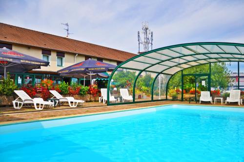
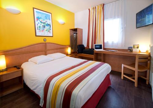
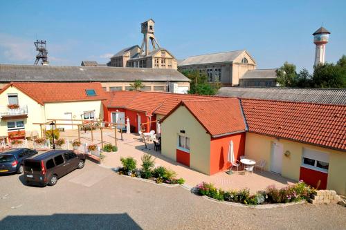
Hotel Wittelsheim
|
|
|
Book now ! Best Price Guaranteed, no booking fees, pay at the hotel with our partner Booking.com, leader in online hotel reservation.
Find all hotels of Wittelsheim : Hotel Wittelsheim
| |
|
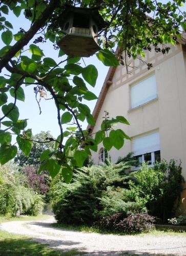
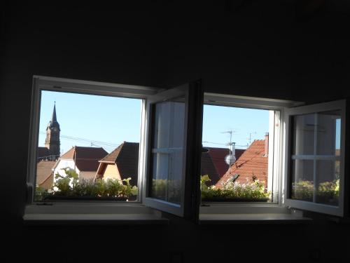
Bed and Breakfast : Aux Berges de la Thur
Set in a 4000 m² garden, just a 15-minute drive from Mulhouse and Guebviller, the B&B Aux Berges de la Thur offers an outdoor swimming pool, open terrace and free Wi-Fi access i...
Rate : from 60.00 €
to 89.00 €
Address : 9 rue Marie Louise 68850 Staffelfelden
Distance Bed and Breakfast - Wittelsheim : 3.95 km
|
|
|
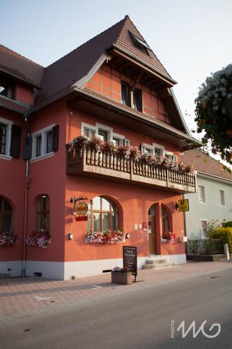
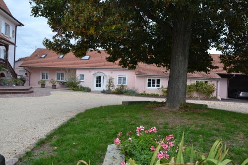
Hotel : Auberge du Relais

Set in an old brewery, this guest house is located on the Alsace Wine Route and at the beginning of Route des Crêtes, which dates from the First World War. It offers a garden wi...
Price : from 75.00 €
to 110.00 €
Contact : 35, Rue de Soultz 68700 Uffholtz
Distance Hotel - Wittelsheim : 4.24 km
|
|
|
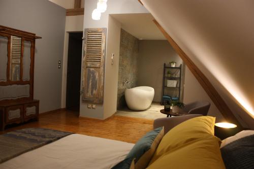
Bed and Breakfast : Théière & Couverts - Les Chambres
Located in Cernay, 3.5 km from Thur Doller Train, Théière & Couverts - Les Chambres offers free WiFi. Every unit features a private bathroom and bath, air conditioning, a flat-...
Prices : from 84.00 €
to 96.00 €
Contact : 2 A Rue du Paradis 68700 Cernay
Distance Bed and Breakfast - Wittelsheim : 4.33 km
|
|
|
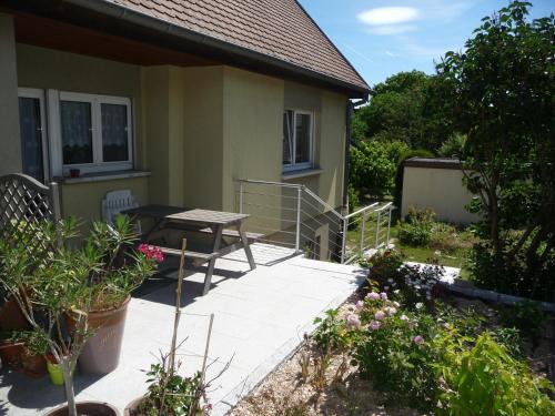
Bed and Breakfast : Le Haut de l'Espérance
Le Haut de l'Espérance is a homestay set in Uffholtz, 32 km from Colmar and 43 km from Basel. Free private parking is available on site. Vieil Armand Memorial is 10 km away. Gu...
Rate : from 54.00 €
to 74.00 €
Contact : 54 rue de l'Espérance 68700 Uffholtz
Distance Bed and Breakfast - Wittelsheim : 4.73 km
|
|
|
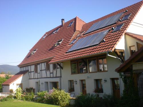
Guest accommodation : Gite Des Alisiers
With mountain views, Gite Des Alisiers is situated in Wattwiller and has free WiFi. Fitted with a terrace, the units feature a flat-screen TV and a private bathroom with shower...
Address : 32, Rue De Guebwiller 68700 Wattwiller
Distance Guest accommodation - Wittelsheim : 4.77 km
|
|
|
Apartment : Appartement Sur La Route des Vins
Appartement sur La Route des Vins is a self-catering apartment in Cernay on the Alsace Wine Route, just 17 km from Mulhouse. It is set on 2 levels and opens onto a garden with a...
Contact : 15 rue Camille Oberreiner 68700 Cernay
Distance Apartment - Wittelsheim : 4.82 km
|
|
|
Apartment : Le Pressoir des 4 Saisons
Located in Berrwiller, Le Pressoir des 4 Saisons offers self-catering accommodation with a tree-lined garden and a terrace. The property is situated only a 15-minute drive from ...
Rate : from 65.00 €
to 80.00 €
Contact : 22 rue de Cernay 68500 Berrwiller
Distance Apartment - Wittelsheim : 5.22 km
|
|
|
Hotel : Relais Arc En Ciel
The Relais Arc En Ciel enjoys a peaceful location 5 kilometres north of Mulhouse and offers easy access to Mulhouse and Colmar with the A35 and A36 motorways nearby. The Relai...
Price : from 54.15 €
to 67.50 €
Contact : 2 Rue Du Périgord 68270 Wittenheim
Distance Hotel - Wittelsheim : 5.69 km
|
|
|
Hotel : Hôtel Roi Soleil Mulhouse-Kingersheim

This modern hotel is located only a 5-minutes drive from the city centre and offers comfortable, well-equipped rooms with free Wi-Fi internet access and spacious bathrooms. Free...
Prices : from 45.00 €
to 64.00 €
Address : 13B Rue De La Griotte 68260 Kingersheim
Distance Hotel - Wittelsheim : 5.92 km
|
|
|
Bed and Breakfast : Les Puits
Les Puits is a B&B set 3 km from the Alsace Wine Route and only 100 metres from the Eco Museum in Pulversheim. The garden features a shaded terrace and a continental breakfast i...
Rate : from 78.00 €
to 110.00 €
Contact : 2 cité Rodolphe 68840 Pulversheim
Distance Bed and Breakfast - Wittelsheim : 6.11 km
|
|
Find another hotel near Wittelsheim : Wittelsheim hotels list
|
Map of Wittelsheim
|
|
Map of Wittelsheim :
At right you can find the localization of Wittelsheim on the map of France. Below, this is the satellite map of Wittelsheim. A road map, and maps templates of Wittelsheim are available here : "road map of Wittelsheim". This map show Wittelsheim seen by the satellite of Google Map. To see the streets of Wittelsheim or move on another zone, use the buttons "zoom" and "map" on top of this dynamic map.
Search on the map of Wittelsheim :
To search hotels, housings, tourist information office, administrations or other services, use the Google search integrated to the map on the following page : "map Wittelsheim".
Hotels of Wittelsheim are listed on the map with the following icons: 
The map of Wittelsheim is centred in the following coordinates :
|

|
|
|
|
Print the map of Wittelsheim

Print the map of Wittelsheim : map of Wittelsheim
|
Photos Wittelsheim
|
See all photos of Wittelsheim :
Other photos of Wittelsheim and nearby towns can be found here: photos Wittelsheim
|
|
Wittelsheim weather forecast
Find next hours and 7 days weather forecast for Wittelsheim here : weather Wittelsheim (with english metrics)
This is the last weather forecast for Wittelsheim collected by the nearest observation station of Cernay.
Week Forecast:
The latest weather data for Wittelsheim were collected Monday, 13 July 2026 at 11:04 from the nearest observation station of Cernay.
| Monday, July 13th |
31°C 17°C
0%
93%
|
Cloudy
Temperature Max: 31°C Temperature Min: 17°C
Precipitation Probability: 0%
Percentage of sky occluded by clouds: 93%
Wind speed: 10 km/h Sout-East
Humidity: 42%° UV Index: 4
Sunrise: 05:46 Sunset: 21:27 |
|
| | Tuesday, July 14th |
33°C 20°C
59%
72%
|
Drizzle
Temperature Max: 33°C Temperature Min: 20°C
Precipitation Probability: 59% (Rain)
Percentage of sky occluded by clouds: 72%
Wind speed: 11 km/h North-East
Humidity: 51%° UV Index: 5
Sunrise: 05:47 Sunset: 21:26 |
|
| | Wednesday, July 15th |
28°C 19°C
67%
85%
|
Rain
Temperature Max: 28°C Temperature Min: 19°C
Precipitation Probability: 67% (Rain)
Percentage of sky occluded by clouds: 85%
Wind speed: 8 km/h Sout-East
Humidity: 62%° UV Index: 5
Sunrise: 05:48 Sunset: 21:25 |
|
| | Thursday, July 16th |
30°C 18°C
55%
57%
|
Thunderstorms
Temperature Max: 30°C Temperature Min: 18°C
Precipitation Probability: 55% (Rain)
Percentage of sky occluded by clouds: 57%
Wind speed: 5 km/h West
Humidity: 60%° UV Index: 6
Sunrise: 05:49 Sunset: 21:25 |
|
|
Attribution: 
|
|
Other maps, hotels and towns in france
Find another town, zip code, department, region, ...
Quick links Wittelsheim :
Make a link to this page of Wittelsheim with the following code :
|
|
|
 French Version : http://www.cartesfrance.fr/carte-france-ville/68375_Wittelsheim.html