|
The village of Billancelles is a small village located center of France. The town of Billancelles is located in the department of Eure-et-Loir of the french region Centre. The town of Billancelles is located in the township of Courville-sur-Eure part of the district of Chartres. The area code for Billancelles is 28040 (also known as code INSEE), and the Billancelles zip code is 28190.
Geography and map of Billancelles :
The altitude of the city hall of Billancelles is approximately 190 meters. The Billancelles surface is 11.95 km ². The latitude and longitude of Billancelles are 48.491 degrees North and 1.215 degrees East.
Nearby cities and towns of Billancelles are :
Landelles (28190) at 2.70 km, Saint-Arnoult-des-Bois (28190) at 3.49 km, Pontgouin (28190) at 3.95 km, Favières (28170) at 4.67 km, Courville-sur-Eure (28190) at 4.81 km, Chuisnes (28190) at 4.82 km, Le Favril (28190) at 4.92 km, Digny (28250) at 6.76 km.
(The distances to these nearby towns of Billancelles are calculated as the crow flies)
Population and housing of Billancelles :
The population of Billancelles was 213 in 1999, 245 in 2006 and 261 in 2007. The population density of Billancelles is 21.84 inhabitants per km². The number of housing of Billancelles was 125 in 2007. These homes of Billancelles consist of 96 main residences, 22 second or occasional homes and 7 vacant homes. |
|
|
Hotel Billancelles
|
|
|
Book now ! Best Price Guaranteed, no booking fees, pay at the hotel with our partner Booking.com, leader in online hotel reservation.
Find all hotels of Billancelles : Hotel Billancelles
| |
|
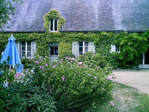
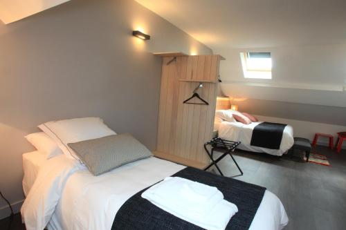
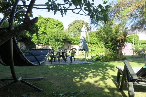
Guest accommodation : Le Domaine du Sybarite


Surrounded by 3500 m2 garden, this former farm is located in Saint Arnoult des Bois, 20 km from Chartres. Provided with free Wi-Fi internet access, it also features free private...
Rate : from 35.00 €
to 280.00 €
Address : 6, Rue des Noues 28190 Saint-Arnoult-des-Bois
Distance Guest accommodation - Billancelles : 1.42 km
|
|
|
Hotel : Hotel-Restaurant Le Relais d'Aligre
Hotel-Restaurant Le Relais d'Aligre is situated in Châteauneuf-en-Thymerais and features a garden and a terrace. This 3-star hotel offers a shared lounge. Free WiFi is available...
Price : from 88.00 €
to 148.00 €
Contact : 25, rue Jean Moulin 28170 Châteauneuf-en-Thymerais
Distance Hotel - Billancelles : 10.17 km
|
|
|
Bed and Breakfast : La Vigne
Offering a sun terrace and views of the garden, La Vigne is set in Saint-Jean-de-Rebervilliers in the Centre Region, 25 km from Chartres. Free WiFi is offered throughout the pro...
Prices : from 75.00 €
to 80.00 €
Contact : 1 Place St Jean 28170 Saint-Jean-de-Rebervilliers
Distance Bed and Breakfast - Billancelles : 13.83 km
|
|
|
Bed and Breakfast : Les Tresors de Tasti
Les Tresors de Tasti is located in Marville-les-Bois. Free WiFi is featured. All units are equipped with an oven, microwave, a coffee machine, a fridge and kettle. Some units a...
Rate : from 43.00 €
Contact : 2 Rue de Morterre Marville les 28170 Marville-les-Bois
Distance Bed and Breakfast - Billancelles : 14.06 km
|
|
|
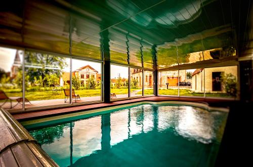
Guest accommodation : La Tour D Aligre
Offering a heated, outdoor swimming pool, a garden and BBQ facilities, La Tour D Aligre is a self-catering accommodation located in Champrond. You can relax by the ancient firep...
Price : from 1100.00 €
Address : Route de la Loupe 2 28240 Champrond-en-Gâtine
Distance Guest accommodation - Billancelles : 14.09 km
|
|
|
Guest accommodation : Village Huttopia Senonches
Situated in Senonches, Village Huttopia Senonches features accommodation with a seating area and a kitchenette. Some units feature a dining area and/or a terrace. Guests at th...
Contact : Etang de Badouleau 28250 Senonches
Distance Guest accommodation - Billancelles : 14.34 km
|
|
|
Hotel : Logis Le Chêne Doré
Located in the Nature Park of the Perche, Logis Le Chêne Doré features modern rooms with free internet, a restaurant and a garden. The Train Station is 350 metres away and free ...
Rate : from 74.80 €
to 96.80 €
Contact : 12 place de l'Hôtel de Ville 28240 La Loupe
Distance Hotel - Billancelles : 14.99 km
|
|
|
Hotel : Auberge La Pomme de Pin
Auberge La Pomme de Pin is a former coaching inn dating from the 17-th century. Situated in the medieval city of Senonches, it features a restaurant that serves traditional Fren...
Price : from 56.00 €
to 95.00 €
Contact : 15, Rue Michel Cauty 28250 Senonches
Distance Hotel - Billancelles : 15.19 km
|
|
|
Bed and Breakfast : Les Logis du Breuil
Featuring free WiFi, Les Logis du Breuil offers accommodation in Marchéville, a 5-minute drive from the A11 motorway. A 2500-m2 garden and a free private parking are available o...
Prices : from 60.00 €
to 85.00 €
Address : 5 rue du loir Le Breuil 28120 Marchéville
Distance Bed and Breakfast - Billancelles : 15.58 km
|
|
|
Situated in the small countryside town of Senoches, in the heart of the Perche regional park, Logis La Forêt features a sauna and a pleasant terrace. The hotel exterior has a un...
Rate : from 79.20 €
to 90.20 €
Contact : 22 Rue De Verdun 28250 Senonches
Distance Hotel - Billancelles : 15.59 km
|
|
Find another hotel near Billancelles : Billancelles hotels list
|
Map of Billancelles
|
|
Map of Billancelles :
At right you can find the localization of Billancelles on the map of France. Below, this is the satellite map of Billancelles. A road map, and maps templates of Billancelles are available here : "road map of Billancelles". This map show Billancelles seen by the satellite of Google Map. To see the streets of Billancelles or move on another zone, use the buttons "zoom" and "map" on top of this dynamic map.
Search on the map of Billancelles :
To search hotels, housings, tourist information office, administrations or other services, use the Google search integrated to the map on the following page : "map Billancelles".
Hotels of Billancelles are listed on the map with the following icons: 
The map of Billancelles is centred in the following coordinates :
|

|
|
|
|
Print the map of Billancelles

Print the map of Billancelles : map of Billancelles
|
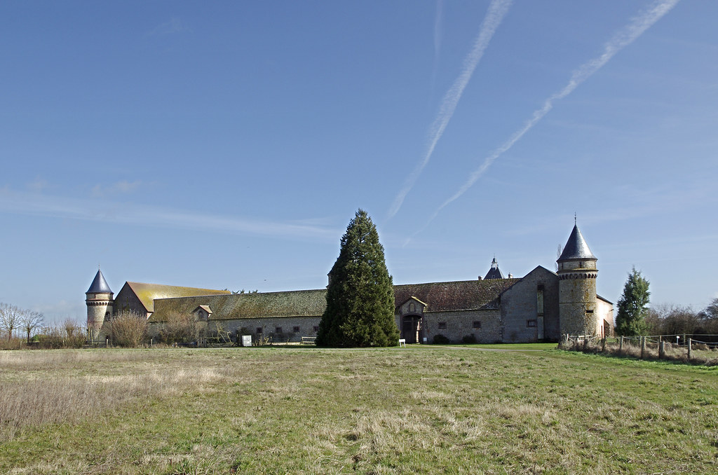
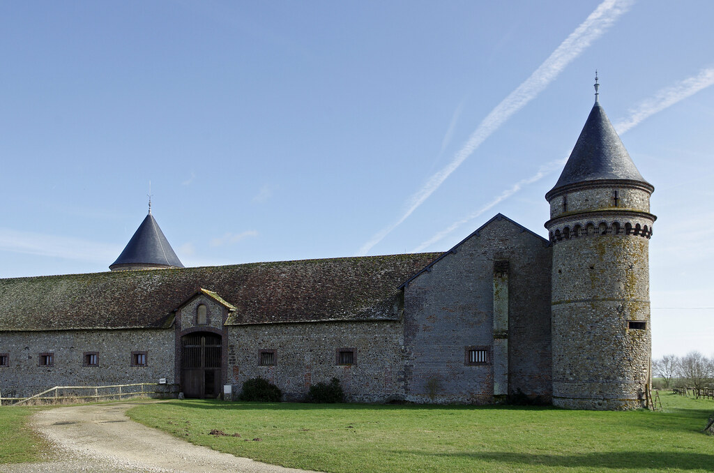
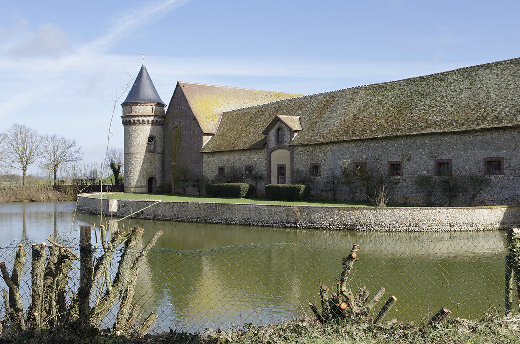
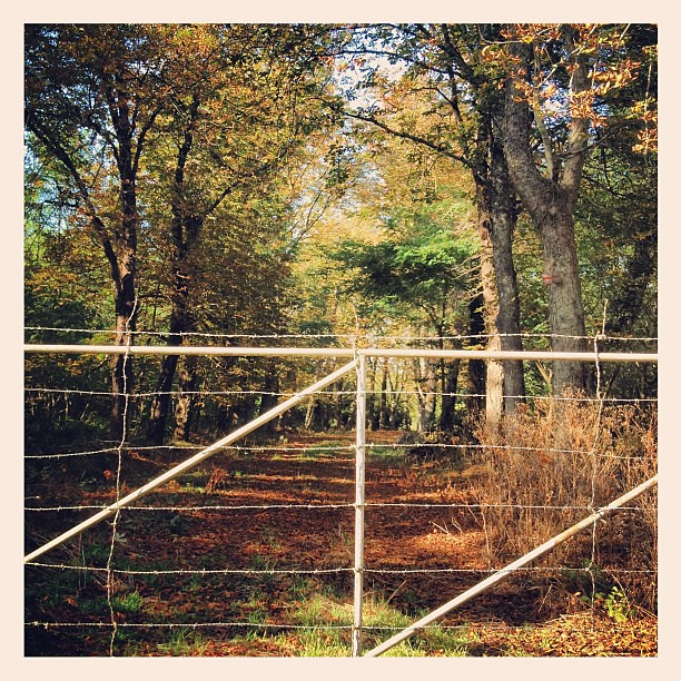
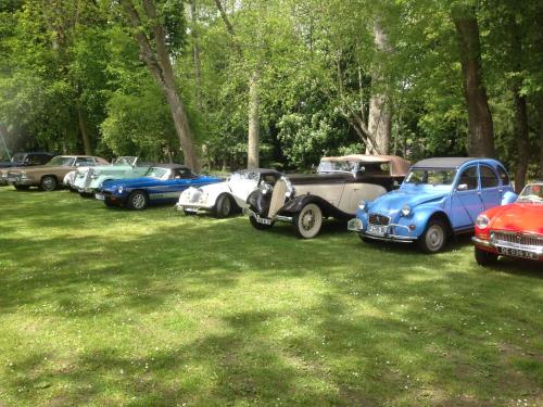
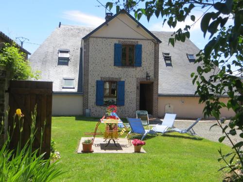
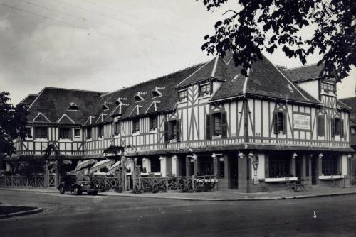
Photos Billancelles
|
See all photos of Billancelles :
Other photos of Billancelles and nearby towns can be found here: photos Billancelles
|
|
Billancelles weather forecast
Find next hours and 7 days weather forecast for Billancelles here : weather Billancelles (with english metrics)
This is the last weather forecast for Billancelles collected by the nearest observation station of Courville-sur-Eure.
Week Forecast:
The latest weather data for Billancelles were collected Friday, 31 July 2026 at 11:02 from the nearest observation station of Courville-sur-Eure.
| Friday, July 31st |
27°C 17°C
0%
76%
|
Mostly cloudy
Temperature Max: 27°C Temperature Min: 17°C
Precipitation Probability: 0%
Percentage of sky occluded by clouds: 76%
Wind speed: 9 km/h South-East
Humidity: 61%° UV Index: 6
Sunrise: 06:28 Sunset: 21:34 |
|
| | Saturday, August 1st |
26°C 13°C
0%
49%
|
Partly cloudy
Temperature Max: 26°C Temperature Min: 13°C
Precipitation Probability: 0%
Percentage of sky occluded by clouds: 49%
Wind speed: 9 km/h South
Humidity: 49%° UV Index: 6
Sunrise: 06:29 Sunset: 21:32 |
|
| | Sunday, August 2nd |
29°C 13°C
0%
45%
|
Partly cloudy
Temperature Max: 29°C Temperature Min: 13°C
Precipitation Probability: 0%
Percentage of sky occluded by clouds: 45%
Wind speed: 11 km/h Sout-East
Humidity: 43%° UV Index: 6
Sunrise: 06:31 Sunset: 21:31 |
|
| | Monday, August 3rd |
32°C 18°C
36%
75%
|
Drizzle
Temperature Max: 32°C Temperature Min: 18°C
Precipitation Probability: 36% (Rain)
Percentage of sky occluded by clouds: 75%
Wind speed: 12 km/h North-West
Humidity: 48%° UV Index: 5
Sunrise: 06:32 Sunset: 21:29 |
|
|
Attribution: 
|
|
Other maps, hotels and towns in france
Find another town, zip code, department, region, ...
Quick links Billancelles :
Make a link to this page of Billancelles with the following code :
|
|
|
 French Version : http://www.cartesfrance.fr/carte-france-ville/28040_Billancelles.html