|
The village of Dangers is a small village located center of France. The town of Dangers is located in the department of Eure-et-Loir of the french region Centre. The town of Dangers is located in the township of Courville-sur-Eure part of the district of Chartres. The area code for Dangers is 28128 (also known as code INSEE), and the Dangers zip code is 28190.
Geography and map of Dangers :
The altitude of the city hall of Dangers is approximately 199 meters. The Dangers surface is 7.39 km ². The latitude and longitude of Dangers are 48.51 degrees North and 1.351 degrees East.
Nearby cities and towns of Dangers are :
Vérigny (28190) at 2.44 km, Mittainvilliers (28190) at 3.33 km, Briconville (28300) at 3.37 km, Bailleau-l'Évêque (28300) at 3.87 km, Saint-Aubin-des-Bois (28300) at 4.50 km, Clévilliers (28300) at 4.78 km, Fontaine-la-Guyon (28190) at 4.85 km, Fresnay-le-Gilmert (28300) at 5.01 km.
(The distances to these nearby towns of Dangers are calculated as the crow flies)
Population and housing of Dangers :
The population of Dangers was 382 in 1999, 403 in 2006 and 406 in 2007. The population density of Dangers is 54.94 inhabitants per km². The number of housing of Dangers was 153 in 2007. These homes of Dangers consist of 142 main residences, 5 second or occasional homes and 6 vacant homes. |
|
|
Hotel Dangers
|
|
|
Book now ! Best Price Guaranteed, no booking fees, pay at the hotel with our partner Booking.com, leader in online hotel reservation.
Find all hotels of Dangers : Hotel Dangers
| |
|
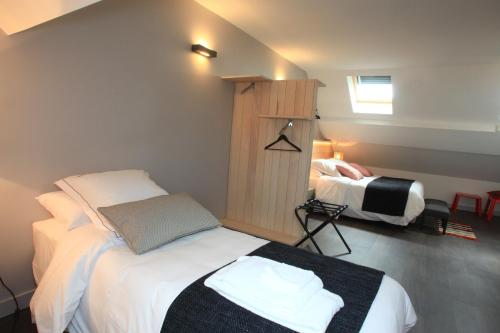
Guest accommodation : Le Domaine du Sybarite


Surrounded by 3500 m2 garden, this former farm is located in Saint Arnoult des Bois, 20 km from Chartres. Provided with free Wi-Fi internet access, it also features free private...
Rate : from 35.00 €
to 280.00 €
Address : 6, Rue des Noues 28190 Saint-Arnoult-des-Bois
Distance Guest accommodation - Dangers : 8.92 km
|
|

|
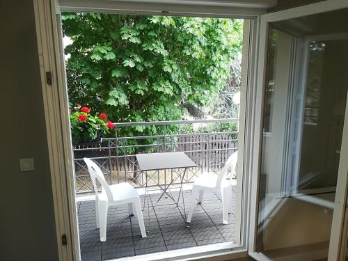
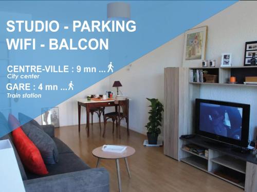
Apartment : Studio - Proche Centre-Ville
Offering free WiFi and city views, Studio - Proche Centre-Ville is an accommodation set in Mainvilliers. Guests staying at this apartment have access to a fully equipped kitchen...
Price : from 30.59 €
Contact : 1 Place du Marché 28300 Mainvilliers
Distance Apartment - Dangers : 10.45 km
|
|

|
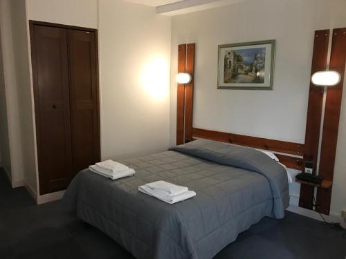
Hotel : ibis Chartres Ouest Luce
Located in Lucé, Ibis Chartres Ouest Luce is just a 5-minute drive away from Chartres. This air-conditioned hotel offers a 24-hour reception and free WiFi access. You can enjoy ...
Prices : from 41.30 €
to 95.00 €
Contact : 2, impasse du Perigord, Lucé 28110 Chartres
Distance Hotel - Dangers : 10.81 km
|
|
|
Bed and Breakfast : Les Tresors de Tasti
Les Tresors de Tasti is located in Marville-les-Bois. Free WiFi is featured. All units are equipped with an oven, microwave, a coffee machine, a fridge and kettle. Some units a...
Rate : from 43.00 €
Contact : 2 Rue de Morterre Marville les 28170 Marville-les-Bois
Distance Bed and Breakfast - Dangers : 10.96 km
|
|
|
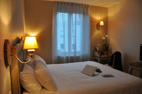
Hotel : Hotel-Restaurant Le Relais d'Aligre
Hotel-Restaurant Le Relais d'Aligre is situated in Châteauneuf-en-Thymerais and features a garden and a terrace. This 3-star hotel offers a shared lounge. Free WiFi is available...
Price : from 88.00 €
to 148.00 €
Address : 25, rue Jean Moulin 28170 Châteauneuf-en-Thymerais
Distance Hotel - Dangers : 11.18 km
|
|
|
Hotel : Hotel du Centre Lucé Chartres
Situated in Lucé in the Centre region, this hotel is just 2.5 km from central Chartres and Chartres Cathedral. It offers free Wi-Fi internet access and guest are invited for a d...
Prices : from 40.00 €
to 48.00 €
Contact : 120 rue de la République 28110 Luce
Distance Hotel - Dangers : 11.21 km
|
|
|
Apartment : Grain de Blé
Located a 15-minute walk from Chartres Cathedral, Grain de Blé is set in Mainvilliers. Guests benefit from free WiFi and private parking available on site. There is a seating a...
Contact : 6 Rue de la République 28300 Mainvilliers
Distance Apartment - Dangers : 11.48 km
|
|
|
Hotel : Hotel The Originals Les Poèmes de Chartres (ex Inter-Hotel)
Located in the heart of Chartres, Hotel The Originals Les Poèmes de Chartres (ex Inter-Hotel) is in front of Chartres Train Station and just 200 metres from Chartres Cathedral. ...
Price : from 47.70 €
to 164.00 €
Contact : 5 Place Pierre Semard 28000 Chartres
Distance Hotel - Dangers : 11.82 km
|
|
|
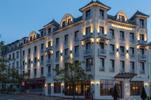
Hotel : Jehan De Beauce - Les Collectionneurs
Located in the centre of Chartres, in front of the train station, Jehan De Beauce is a contemporary hotel offering a sauna and an on-site bar. Set in a renovated building from 1...
Prices : from 70.00 €
to 362.00 €
Address : 19 Avenue Jehan De Beauce 28000 Chartres
Distance Hotel - Dangers : 11.83 km
|
|
|
Apartment : Le Clos Pichot
Located in Chartres, 1.4 km from Municipal theatre of Chartres and 2 km from Cathédrale de Chartres, Le Clos Pichot offers free WiFi. This apartment is 3.3 km from Chartrexpo an...
Rate : from 47.06 €
to 66.18 €
Contact : 61 Boulevard Charles Peguy, 4e étage, porte 29 28000 Chartres
Distance Apartment - Dangers : 11.84 km
|
|
Find another hotel near Dangers : Dangers hotels list
|
Map of Dangers
|
|
Map of Dangers :
At right you can find the localization of Dangers on the map of France. Below, this is the satellite map of Dangers. A road map, and maps templates of Dangers are available here : "road map of Dangers". This map show Dangers seen by the satellite of Google Map. To see the streets of Dangers or move on another zone, use the buttons "zoom" and "map" on top of this dynamic map.
Search on the map of Dangers :
To search hotels, housings, tourist information office, administrations or other services, use the Google search integrated to the map on the following page : "map Dangers".
Hotels of Dangers are listed on the map with the following icons: 
The map of Dangers is centred in the following coordinates :
|

|
|
|
|
Print the map of Dangers

Print the map of Dangers : map of Dangers
|
Photos Dangers
|
See all photos of Dangers :
Other photos of Dangers and nearby towns can be found here: photos Dangers
|
|
Dangers weather forecast
Find next hours and 7 days weather forecast for Dangers here : weather Dangers (with english metrics)
This is the last weather forecast for Dangers collected by the nearest observation station of Courville-sur-Eure.
Week Forecast:
The latest weather data for Dangers were collected Friday, 31 July 2026 at 08:02 from the nearest observation station of Courville-sur-Eure.
| Friday, July 31st |
27°C 17°C
0%
77%
|
Mostly cloudy
Temperature Max: 27°C Temperature Min: 17°C
Precipitation Probability: 0%
Percentage of sky occluded by clouds: 77%
Wind speed: 9 km/h South-East
Humidity: 61%° UV Index: 5
Sunrise: 06:28 Sunset: 21:34 |
|
| | Saturday, August 1st |
26°C 13°C
0%
51%
|
Partly cloudy
Temperature Max: 26°C Temperature Min: 13°C
Precipitation Probability: 0%
Percentage of sky occluded by clouds: 51%
Wind speed: 9 km/h South
Humidity: 49%° UV Index: 6
Sunrise: 06:29 Sunset: 21:32 |
|
| | Sunday, August 2nd |
29°C 13°C
0%
48%
|
Partly cloudy
Temperature Max: 29°C Temperature Min: 13°C
Precipitation Probability: 0%
Percentage of sky occluded by clouds: 48%
Wind speed: 11 km/h Sout-East
Humidity: 44%° UV Index: 6
Sunrise: 06:31 Sunset: 21:31 |
|
| | Monday, August 3rd |
32°C 18°C
30%
80%
|
Drizzle
Temperature Max: 32°C Temperature Min: 18°C
Precipitation Probability: 30% (Rain)
Percentage of sky occluded by clouds: 80%
Wind speed: 13 km/h North-West
Humidity: 46%° UV Index: 5
Sunrise: 06:32 Sunset: 21:29 |
|
|
Attribution: 
|
|
Other maps, hotels and towns in france
Find another town, zip code, department, region, ...
Quick links Dangers :
Make a link to this page of Dangers with the following code :
|
|
|
 French Version : http://www.cartesfrance.fr/carte-france-ville/28128_Dangers.html