|
The village of Châtres is a small village located south west of France. The town of Châtres is located in the department of Dordogne of the french region Aquitaine. The town of Châtres is located in the township of Terrasson-Lavilledieu part of the district of Sarlat-la-Canéda. The area code for Châtres is 24116 (also known as code INSEE), and the Châtres zip code is 24120.
Geography and map of Châtres :
The altitude of the city hall of Châtres is approximately 306 meters. The Châtres surface is 12.20 km ². The latitude and longitude of Châtres are 45.187 degrees North and 1.205 degrees East.
Nearby cities and towns of Châtres are :
La Chapelle-Saint-Jean (24390) at 3.44 km, Peyrignac (24210) at 3.68 km, Villac (24120) at 4.09 km, Badefols-d'Ans (24390) at 4.59 km, Saint-Rabier (24210) at 4.65 km, Beauregard-de-Terrasson (24120) at 4.93 km, Nailhac (24390) at 5.85 km, La Bachellerie (24210) at 6.18 km.
(The distances to these nearby towns of Châtres are calculated as the crow flies)
Population and housing of Châtres :
The population of Châtres was 161 in 1999, 165 in 2006 and 166 in 2007. The population density of Châtres is 13.61 inhabitants per km². The number of housing of Châtres was 123 in 2007. These homes of Châtres consist of 74 main residences, 44 second or occasional homes and 4 vacant homes. |
|
|
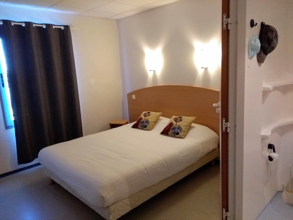
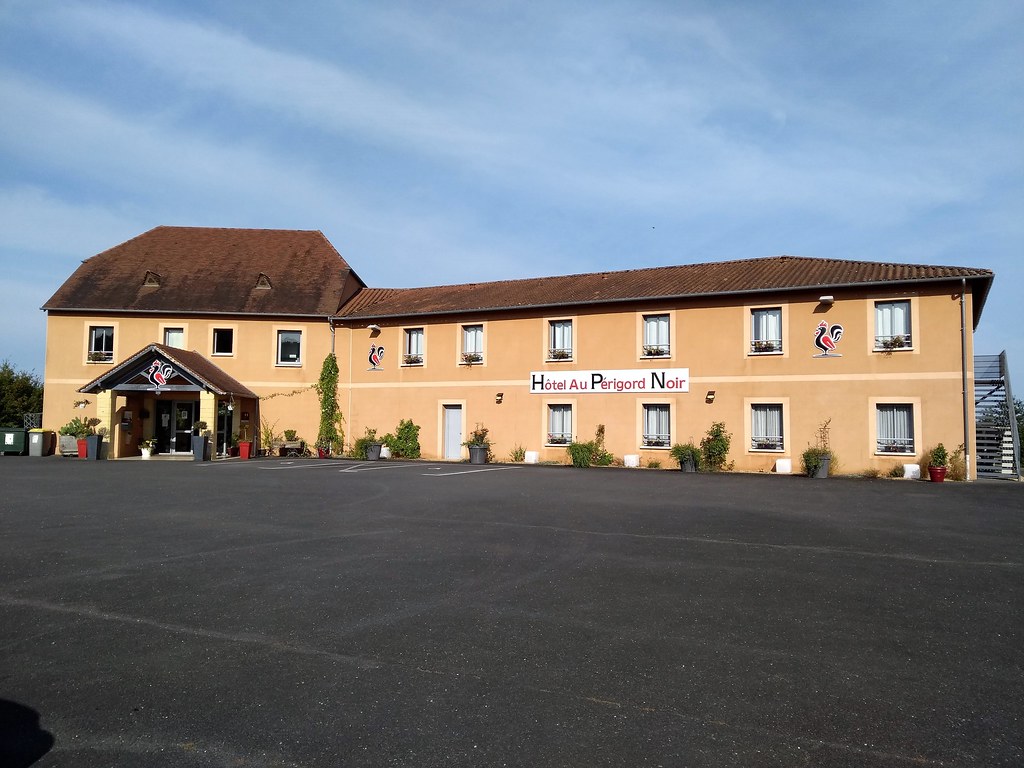
Hotel Châtres
|
|
|
Book now ! Best Price Guaranteed, no booking fees, pay at the hotel with our partner Booking.com, leader in online hotel reservation.
Find all hotels of Châtres : Hotel Châtres
| |
|
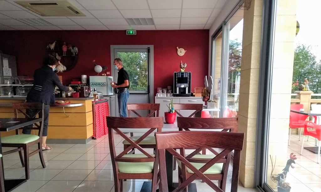
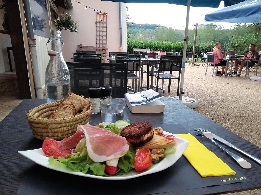
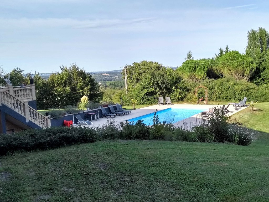
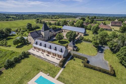
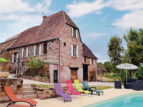
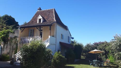
Bed and Breakfast : Chateau de Larre
Located 15 minutes' drive from Montignac Lascaux and 40 minutes' drive from Sarlat la Canéda, Chateau de Larre offers a large terrace overlooking the valley, an outdoor pool and...
Rate : from 95.00 €
Address : Larre Est 24120 Châtres
Distance Bed and Breakfast - Châtres : 1.76 km
|
|
|
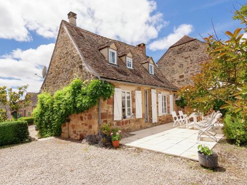
Guest accommodation : Holiday home Bourg Nord K-606

Holiday home Bourg Nord K-606 is situated in La Chapelle-Saint-Jean. Guests are welcome to go for a swim in the outdoor pool. This holiday home is equipped with a living room a...
Contact : 24390 La Chapelle-Saint-Jean
Distance Guest accommodation - Châtres : 3.51 km
|
|
|
Guest accommodation : Holiday home La Chappelle St-Jean I-604
Holiday home La Chappelle St-Jean I-604 is located in La Chapelle-Saint-Jean. Guests are welcome to go for a swim in the outdoor pool. This holiday home comes with a living roo...
Contact : 24390 La Chapelle-Saint-Jean
Distance Guest accommodation - Châtres : 3.53 km
|
|
|
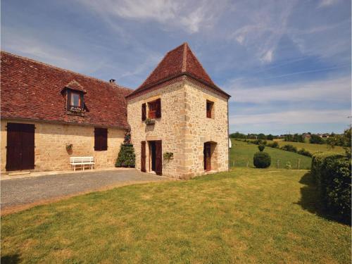
Guest accommodation : Les Maratoux
Situated in La Chapelle-Saint-Jean, Les Maratoux offers a private pool and free WiFi. Guests staying at this villa have access to a fully equipped kitchen. The villa is equippe...
Contact : 24390 La Chapelle-Saint-Jean
Distance Guest accommodation - Châtres : 3.95 km
|
|

|
Guest accommodation : Six-Bedroom Holiday Home in Villac
Situated in Villac, Six-Bedroom Holiday Home in Villac features accommodation with a private pool, free WiFi and private parking. The accommodation is 48 km from Sarlat-la-Canéd...
Address : 24120 Villac
Distance Guest accommodation - Châtres : 4.19 km
|
|
|
Guest accommodation : Holiday home Lieu dit Couty H-594
Situated in Teillots in the Aquitaine region, Holiday home Lieu dit Couty H-594 is a 3-star property boasting free WiFi. The accommodation is 36 km from Brive-la-Gaillarde. The...
Contact : 24390 Teillots
Distance Guest accommodation - Châtres : 4.46 km
|
|
|
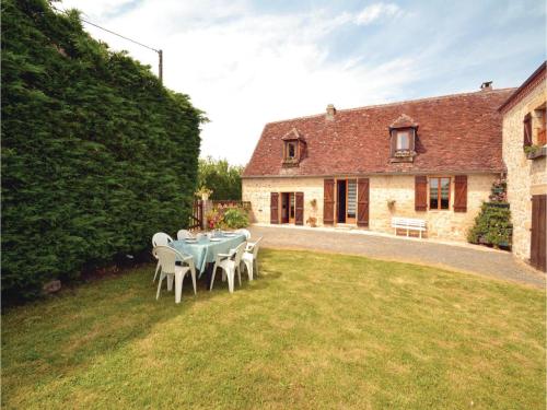
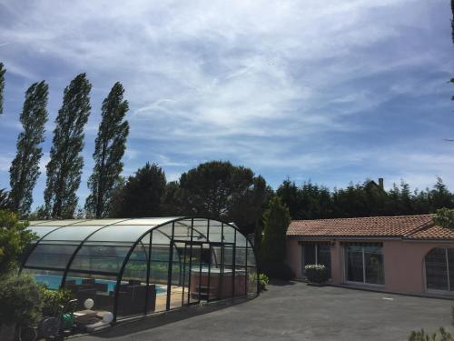
Guest accommodation : La Colline
Situated in Beauregard-de-Terrasson, La Colline provides a private pool and free WiFi. This villa features water sports facilities. This 4-bedroom villa comes with a kitchen, a...
Contact : 24120 Beauregard-de-Terrasson
Distance Guest accommodation - Châtres : 4.48 km
|
|
|
Guest accommodation : Holiday Home Raffard
Situated in Badefols-dʼAns, Holiday Home Raffard features accommodation with a terrace and free WiFi. The accommodation is 37 km from Brive-la-Gaillarde. This 2-bedroom holiday...
Contact : 24390 Badefols-dʼAns
Distance Guest accommodation - Châtres : 4.54 km
|
|
|
Guest accommodation : gite badefols
Situated in Badefols-dʼAns, gite badefols offers a spa & wellness centre, a garden and a barbecue. Including a terrace, this holiday home also features a restaurant. The holida...
Address : les bordes 24390 Badefols-dʼAns
Distance Guest accommodation - Châtres : 4.62 km
|
|
|
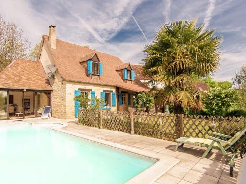
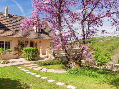
Guest accommodation : Haute Vue
Located in Saint-Rabier in the Aquitaine region, Haute Vue features a garden. Complimentary WiFi is featured. This holiday home comes with a kitchen, a seating area, and a flat...
Contact : Le bourg Haute Vue, 24210 Saint-Rabier
Distance Guest accommodation - Châtres : 4.74 km
|
|
Find another hotel near Châtres : Châtres hotels list
|
Map of Châtres
|
|
Map of Châtres :
At right you can find the localization of Châtres on the map of France. Below, this is the satellite map of Châtres. A road map, and maps templates of Châtres are available here : "road map of Châtres". This map show Châtres seen by the satellite of Google Map. To see the streets of Châtres or move on another zone, use the buttons "zoom" and "map" on top of this dynamic map.
Search on the map of Châtres :
To search hotels, housings, tourist information office, administrations or other services, use the Google search integrated to the map on the following page : "map Châtres".
Hotels of Châtres are listed on the map with the following icons: 
The map of Châtres is centred in the following coordinates :
|

|
|
|
|
Print the map of Châtres

Print the map of Châtres : map of Châtres
|
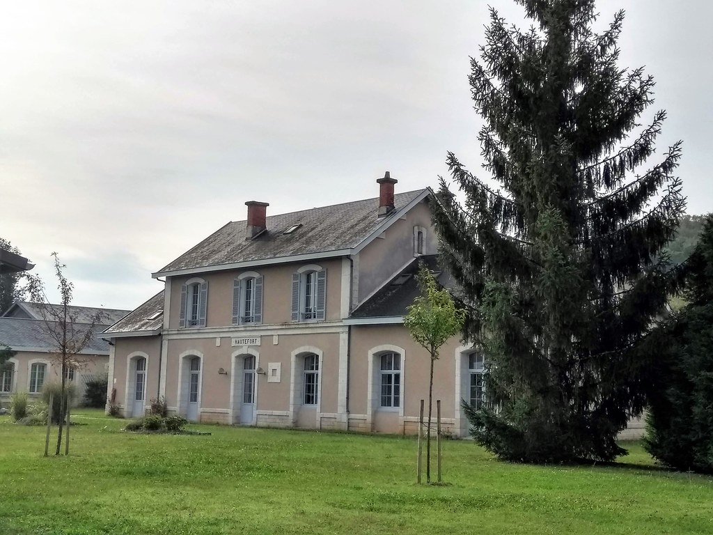
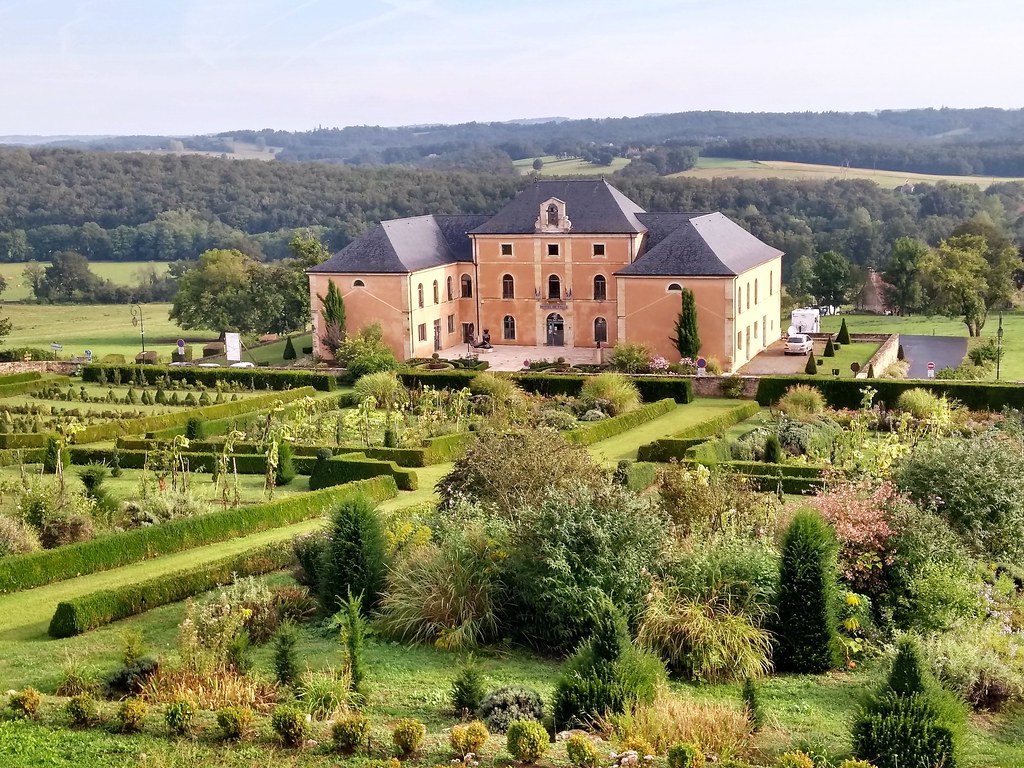
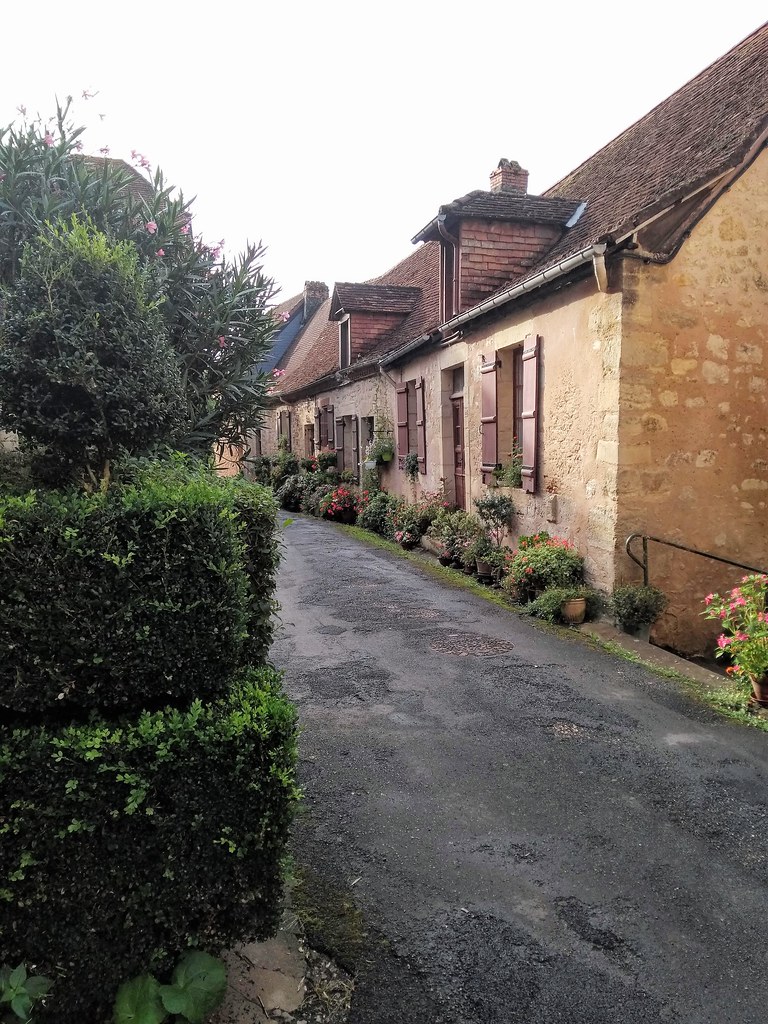
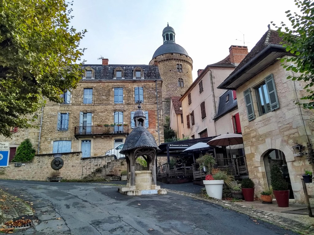
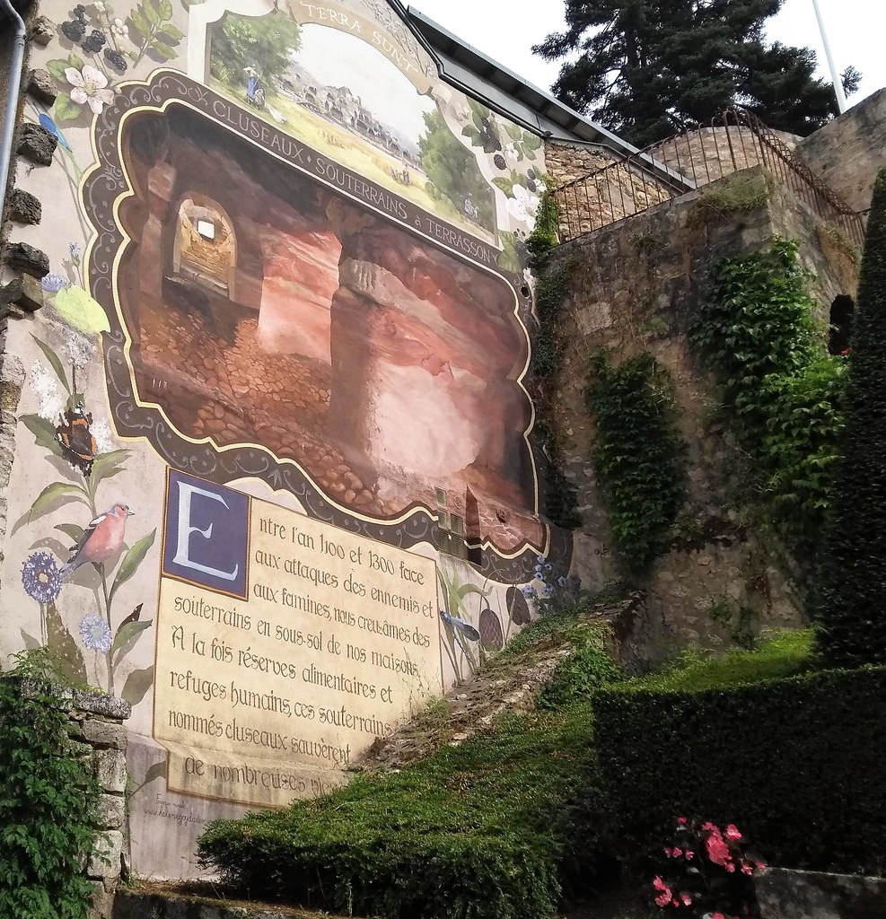
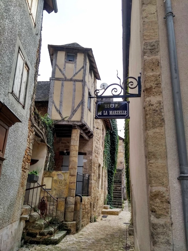
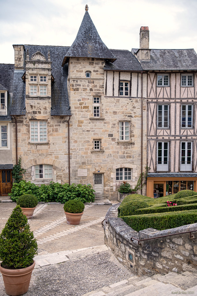
Photos Châtres
|
See all photos of Châtres :
Other photos of Châtres and nearby towns can be found here: photos Châtres
|
|
Châtres weather forecast
Find next hours and 7 days weather forecast for Châtres here : weather Châtres (with english metrics)
This is the last weather forecast for Châtres collected by the nearest observation station of Terrasson-Lavilledieu.
Week Forecast:
The latest weather data for Châtres were collected Sunday, 12 July 2026 at 19:02 from the nearest observation station of Terrasson-Lavilledieu.
| Sunday, July 12th |
38°C 18°C
0%
32%
|
Mostly clear
Temperature Max: 38°C Temperature Min: 18°C
Precipitation Probability: 0%
Percentage of sky occluded by clouds: 32%
Wind speed: 11 km/h West
Humidity: 36%° UV Index: 7
Sunrise: 06:19 Sunset: 21:41 |
|
| | Monday, July 13th |
33°C 22°C
0%
91%
|
Cloudy
Temperature Max: 33°C Temperature Min: 22°C
Precipitation Probability: 0%
Percentage of sky occluded by clouds: 91%
Wind speed: 9 km/h North-East
Humidity: 56%° UV Index: 5
Sunrise: 06:20 Sunset: 21:40 |
|
| | Tuesday, July 14th |
37°C 22°C
27%
45%
|
Partly cloudy
Temperature Max: 37°C Temperature Min: 22°C
Precipitation Probability: 27% (Rain)
Percentage of sky occluded by clouds: 45%
Wind speed: 4 km/h North-East
Humidity: 49%° UV Index: 7
Sunrise: 06:21 Sunset: 21:40 |
|
| | Wednesday, July 15th |
34°C 22°C
32%
51%
|
Drizzle
Temperature Max: 34°C Temperature Min: 22°C
Precipitation Probability: 32% (Rain)
Percentage of sky occluded by clouds: 51%
Wind speed: 10 km/h East
Humidity: 55%° UV Index: 6
Sunrise: 06:22 Sunset: 21:39 |
|
|
Attribution: 
|
|
Other maps, hotels and towns in france
Find another town, zip code, department, region, ...
Quick links Châtres :
Make a link to this page of Châtres with the following code :
|
|
|
 French Version : http://www.cartesfrance.fr/carte-france-ville/24116_Chatres.html