|
The village of Saint-Rabier is a small village located south west of France. The town of Saint-Rabier is located in the department of Dordogne of the french region Aquitaine. The town of Saint-Rabier is located in the township of Terrasson-Lavilledieu part of the district of Sarlat-la-Canéda. The area code for Saint-Rabier is 24491 (also known as code INSEE), and the Saint-Rabier zip code is 24210.
Geography and map of Saint-Rabier :
The altitude of the city hall of Saint-Rabier is approximately 200 meters. The Saint-Rabier surface is 15.87 km ². The latitude and longitude of Saint-Rabier are 45.17 degrees North and 1.151 degrees East.
Nearby cities and towns of Saint-Rabier are :
La Bachellerie (24210) at 2.88 km, Azerat (24210) at 2.98 km, La Chapelle-Saint-Jean (24390) at 3.01 km, Peyrignac (24210) at 3.65 km, Châtres (24120) at 4.65 km, Granges-d'Ans (24390) at 5.32 km, Nailhac (24390) at 6.14 km, Les Farges (24290) at 6.84 km.
(The distances to these nearby towns of Saint-Rabier are calculated as the crow flies)
Population and housing of Saint-Rabier :
The population of Saint-Rabier was 501 in 1999, 539 in 2006 and 545 in 2007. The population density of Saint-Rabier is 34.34 inhabitants per km². The number of housing of Saint-Rabier was 333 in 2007. These homes of Saint-Rabier consist of 231 main residences, 75 second or occasional homes and 27 vacant homes. |
|
|
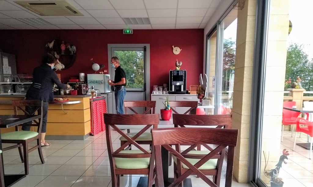
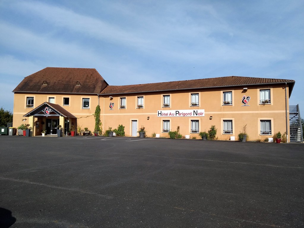
Hotel Saint-Rabier
|
|
|
Book now ! Best Price Guaranteed, no booking fees, pay at the hotel with our partner Booking.com, leader in online hotel reservation.
Find all hotels of Saint-Rabier : Hotel Saint-Rabier
| |
|
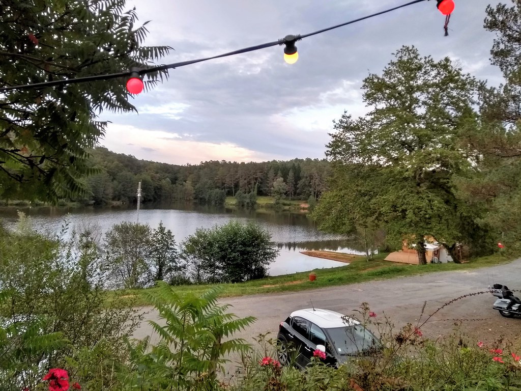
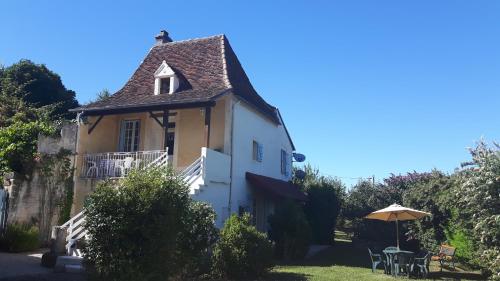
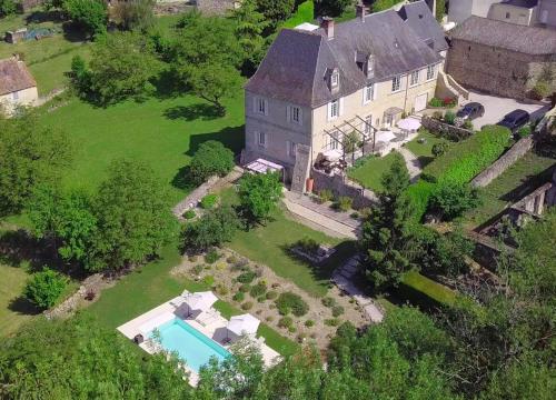
Guest accommodation : Haute Vue
Located in Saint-Rabier in the Aquitaine region, Haute Vue features a garden. Complimentary WiFi is featured. This holiday home comes with a kitchen, a seating area, and a flat...
Address : Le bourg Haute Vue, 24210 Saint-Rabier
Distance Guest accommodation - Saint-Rabier : 0.09 km
|
|
|
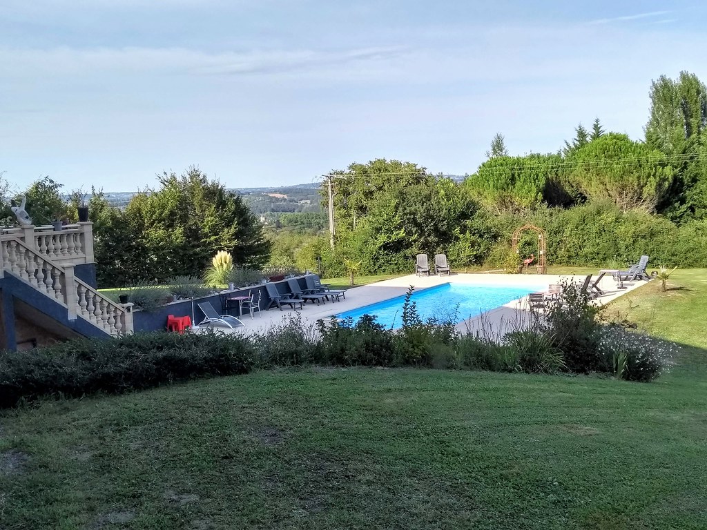
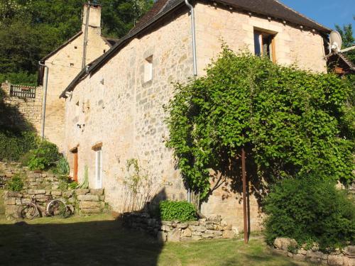
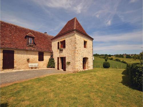
Guest accommodation : Le grand Tilleul
Situated in Saint-Rabier in the Aquitaine region, Le grand Tilleul has a terrace and garden views. This holiday home provides free bikes. The holiday home is composed of a dini...
Contact : lieu-dit Muguet 24210 Saint-Rabier
Distance Guest accommodation - Saint-Rabier : 1.74 km
|
|
|
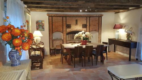
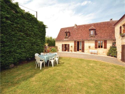
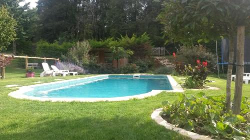
Guest accommodation : Chambres d'Hôtes - Sur Le Chemin des Sens

This property is located in the town of Azerat in the Dordogne region. It offers rooms in the main house and a small independent house that can accommodate a group of 7 people. ...
Prices : from 53.10 €
to 90.00 €
Contact : Hameau Lacoste 24210 Azerat
Distance Guest accommodation - Saint-Rabier : 2.41 km
|
|
|
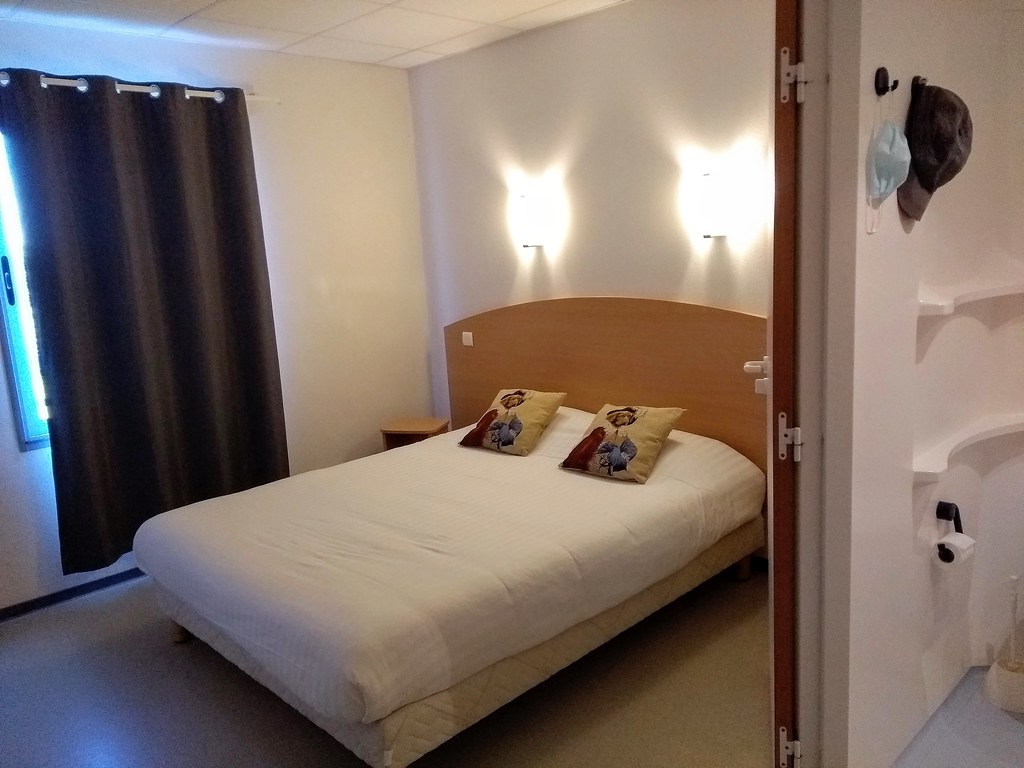
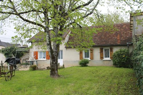
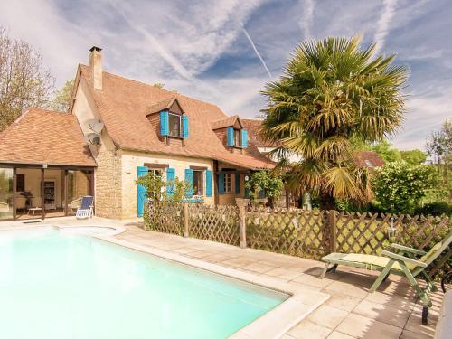
Guest accommodation : Maison Carre
Set in La Bachellerie in the Aquitaine region, Maison Carre has a terrace and garden views. Guests have a private patio. This villa comes with 4 bedrooms, a satellite flat-scre...
Contact : 19 Rue de la République 24210 La Bachellerie
Distance Guest accommodation - Saint-Rabier : 2.63 km
|
|
|
Bed and Breakfast : Chambre d'hôtes Au jardin de la Bachellerie
Situated in La Bachellerie, 29 km from Sarlat-la-Canéda, Chambre d'hôtes Au jardin de la Bachellerie features a seasonal outdoor pool and sun terrace. Free private parking is av...
Address : place Eugène Priouzeau 24210 La Bachellerie
Distance Bed and Breakfast - Saint-Rabier : 2.83 km
|
|
|
Guest accommodation : Holiday home Bourg Nord K-606

Holiday home Bourg Nord K-606 is situated in La Chapelle-Saint-Jean. Guests are welcome to go for a swim in the outdoor pool. This holiday home is equipped with a living room a...
Contact : 24390 La Chapelle-Saint-Jean
Distance Guest accommodation - Saint-Rabier : 3.02 km
|
|
|
Guest accommodation : Holiday home La Chappelle St-Jean I-604
Holiday home La Chappelle St-Jean I-604 is located in La Chapelle-Saint-Jean. Guests are welcome to go for a swim in the outdoor pool. This holiday home comes with a living roo...
Contact : 24390 La Chapelle-Saint-Jean
Distance Guest accommodation - Saint-Rabier : 3.04 km
|
|
|
Guest accommodation : Les Maratoux
Situated in La Chapelle-Saint-Jean, Les Maratoux offers a private pool and free WiFi. Guests staying at this villa have access to a fully equipped kitchen. The villa is equippe...
Contact : 24390 La Chapelle-Saint-Jean
Distance Guest accommodation - Saint-Rabier : 3.14 km
|
|
|
Guest accommodation : l'Ecrin de Nature
Situated in La Bachellerie in the Aquitaine region, l'Ecrin de Nature has a terrace. The holiday home features garden views and is 37 km from Sarlat-la-Canéda. The 2-bedroom ho...
Address : Lieu dit Madeleine 24210 La Bachellerie
Distance Guest accommodation - Saint-Rabier : 3.35 km
|
|
|
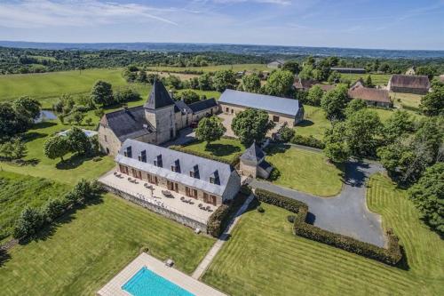
Bed and Breakfast : Chateau de Larre
Located 15 minutes' drive from Montignac Lascaux and 40 minutes' drive from Sarlat la Canéda, Chateau de Larre offers a large terrace overlooking the valley, an outdoor pool and...
Rate : from 95.00 €
Contact : Larre Est 24120 Châtres
Distance Bed and Breakfast - Saint-Rabier : 3.78 km
|
|
Find another hotel near Saint-Rabier : Saint-Rabier hotels list
|
Map of Saint-Rabier
|
|
Map of Saint-Rabier :
At right you can find the localization of Saint-Rabier on the map of France. Below, this is the satellite map of Saint-Rabier. A road map, and maps templates of Saint-Rabier are available here : "road map of Saint-Rabier". This map show Saint-Rabier seen by the satellite of Google Map. To see the streets of Saint-Rabier or move on another zone, use the buttons "zoom" and "map" on top of this dynamic map.
Search on the map of Saint-Rabier :
To search hotels, housings, tourist information office, administrations or other services, use the Google search integrated to the map on the following page : "map Saint-Rabier".
Hotels of Saint-Rabier are listed on the map with the following icons: 
The map of Saint-Rabier is centred in the following coordinates :
|

|
|
|
|
Print the map of Saint-Rabier

Print the map of Saint-Rabier : map of Saint-Rabier
|
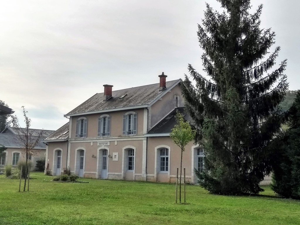
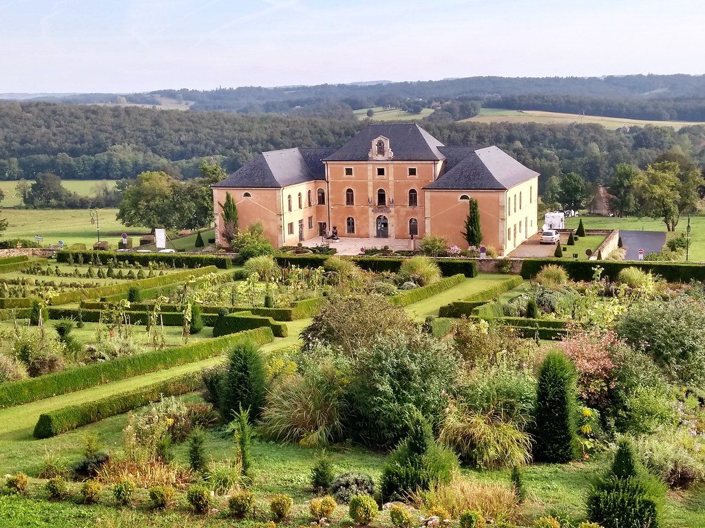
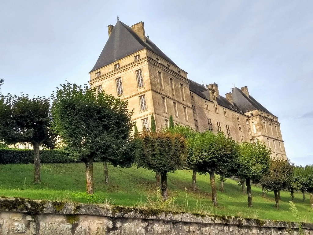
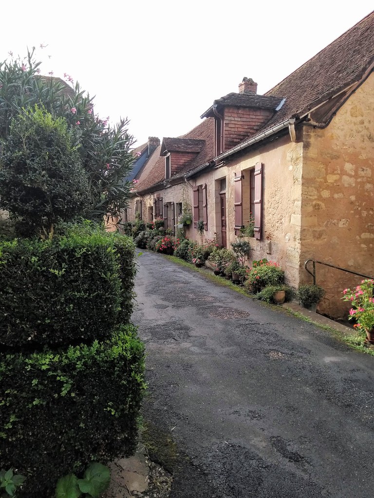
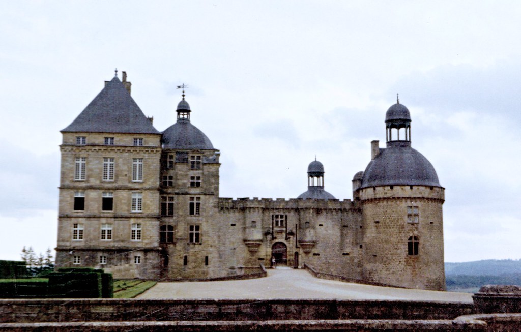
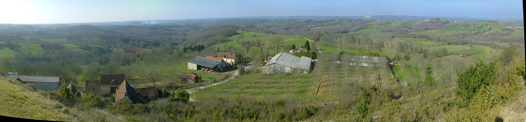
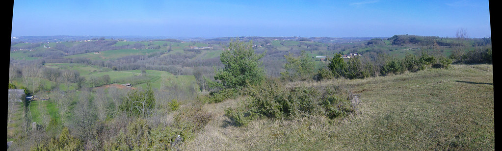
Photos Saint-Rabier
|
See all photos of Saint-Rabier :
Other photos of Saint-Rabier and nearby towns can be found here: photos Saint-Rabier
|
|
Saint-Rabier weather forecast
Find next hours and 7 days weather forecast for Saint-Rabier here : weather Saint-Rabier (with english metrics)
This is the last weather forecast for Saint-Rabier collected by the nearest observation station of Terrasson-Lavilledieu.
Week Forecast:
The latest weather data for Saint-Rabier were collected Saturday, 01 August 2026 at 19:02 from the nearest observation station of Terrasson-Lavilledieu.
| Saturday, August 1st |
32°C 17°C
0%
25%
|
Mostly clear
Temperature Max: 32°C Temperature Min: 17°C
Precipitation Probability: 0%
Percentage of sky occluded by clouds: 25%
Wind speed: 4 km/h South
Humidity: 56%° UV Index: 7
Sunrise: 06:39 Sunset: 21:22 |
|
| | Sunday, August 2nd |
35°C 18°C
0%
18%
|
Mostly clear
Temperature Max: 35°C Temperature Min: 18°C
Precipitation Probability: 0%
Percentage of sky occluded by clouds: 18%
Wind speed: 3 km/h North-West
Humidity: 47%° UV Index: 8
Sunrise: 06:41 Sunset: 21:20 |
|
| | Monday, August 3rd |
31°C 21°C
58%
76%
|
Rain
Temperature Max: 31°C Temperature Min: 21°C
Precipitation Probability: 58% (Rain)
Percentage of sky occluded by clouds: 76%
Wind speed: 9 km/h North-East
Humidity: 64%° UV Index: 5
Sunrise: 06:42 Sunset: 21:19 |
|
| | Tuesday, August 4th |
30°C 20°C
51%
53%
|
Drizzle
Temperature Max: 30°C Temperature Min: 20°C
Precipitation Probability: 51% (Rain)
Percentage of sky occluded by clouds: 53%
Wind speed: 5 km/h East
Humidity: 68%° UV Index: 6
Sunrise: 06:43 Sunset: 21:18 |
|
|
Attribution: 
|
|
Other maps, hotels and towns in france
Find another town, zip code, department, region, ...
Quick links Saint-Rabier :
Make a link to this page of Saint-Rabier with the following code :
|
|
|
 French Version : http://www.cartesfrance.fr/carte-france-ville/24491_Saint-Rabier.html