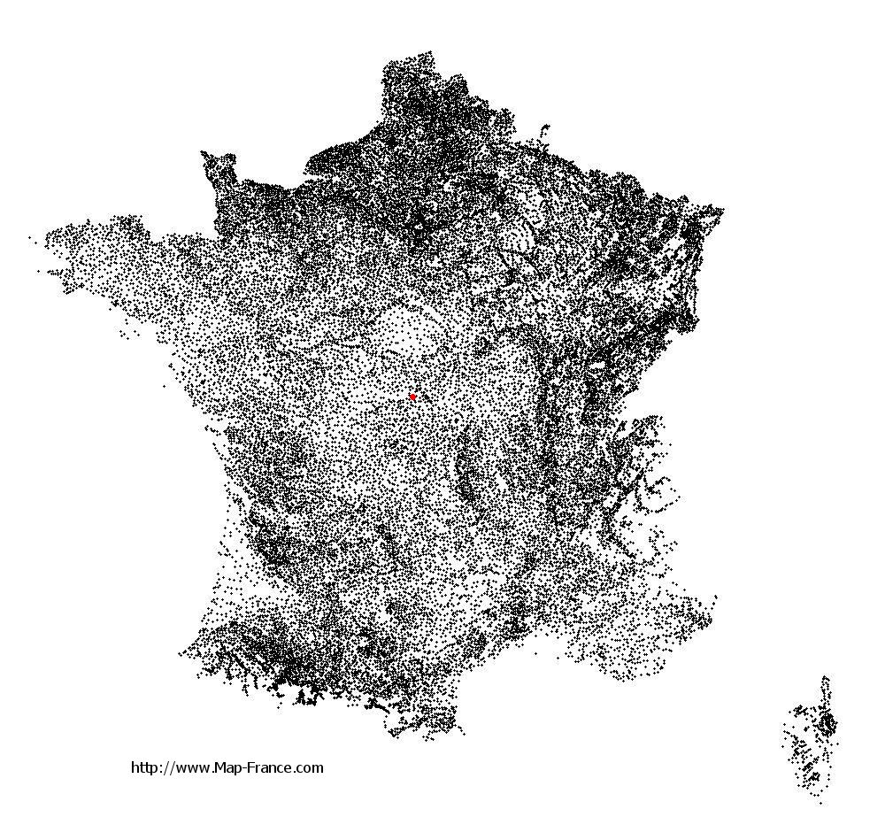
Ids-Saint-Roch on the relief France map in Lambert 93 coordinates
|

See the map of Ids-Saint-Roch in full screen (1000 x 949)
|
At left, here is the location of Ids-Saint-Roch on the relief France map in Lambert 93 coordinates.
Here are the altitudes of Ids-Saint-Roch :
- Town hall altitude of Ids-Saint-Roch is 187 meters
- Minimum altitude of Ids-Saint-Roch is 165 meters
- Maximum altitude of Ids-Saint-Roch is 246 meters
- Medium altitude of Ids-Saint-Roch is 206 meters
Here are the altitudes of Bourges, prefecture of Cher department:
- Town hall altitude of Bourges is 130 meters
- Minimum altitude of Bourges is 120 meters
- Maximum altitude of Bourges is 169 meters
- Medium altitude of Bourges is 145 meters
Here are the altitudes of the french biggest cities:
Paris : 33 meters
Marseille : 20 meters
Lyon : 237 meters
Toulouse : 146 meters
Nice : 10 meters
Nantes : 20 meters
Strasbourg : 144 meters
Montpellier : 35 meters
Bordeaux : 16 meters
Lille : 20 meters
Rennes : 35 meters
Reims : 83 meters
Click here for the terrain map of Ids-Saint-Roch in full screen:
Relief map of Ids-Saint-Roch
|
This relief map of Ids-Saint-Roch is reusable and modifiable by making a link to this page of the Map-France.com website or by using the given code :
|
Terrain base map of Ids-Saint-Roch
|

See the terrain base map of Ids-Saint-Roch in full screen (1000 x 949)
|
Small relief base map of Ids-Saint-Roch

|
This base map of Ids-Saint-Roch is reusable and modifiable by making a link to this page of the Map-France.com website or by using the given code :
|
Map of Ids-Saint-Roch with regions and prefectures
|
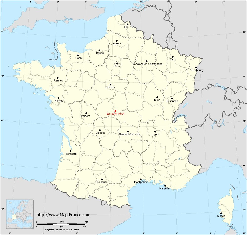
View the map of Ids-Saint-Roch in full screen (1000 x 949)
|
You will find the location of Ids-Saint-Roch on the map of France of regions in Lambert 93 coordinates. The town of Ids-Saint-Roch is located in the department of Cher of the french region Centre.
Geographical sexagesimal coordinates / GPS (WGS84):
Latitude: 46° 42' 26'' North
Longitude: 02° 14' 27'' East
Geographical decimal coordinates :
Latitude: 46.706 degrees (46.706° North)
Longitude: 2.241 degrees (2.241° East)
Lambert 93 coordinates :
X: 6 420 hectometers
Y: 66 233 hectometers
Lambert 2 coordinates :
X: 5 927 hectometers
Y: 21 897 hectometers
Below, the geographical coordinates of Bourges, prefecture of the Cher department:
Geographical sexagesimal coordinates / GPS (WGS84):
Latitude: 47° 05' 01'' North
Longitude: 02° 23' 44'' East
Geographical decimal coordinates :
Latitude: 47.08 degrees (47.08° North)
Longitude: 2.397 degrees (2.397° East)
Lambert 93 coordinates :
X: 6 541 hectometers
Y: 66 650 hectometers
Lambert 2 coordinates :
X: 6 045 hectometers
Y: 22 315 hectometers
|
This map of Ids-Saint-Roch is reusable and modifiable by making a link to this page of the Map-France.com website or by using the given code :
|
Map of Ids-Saint-Roch with departments and prefectures
|
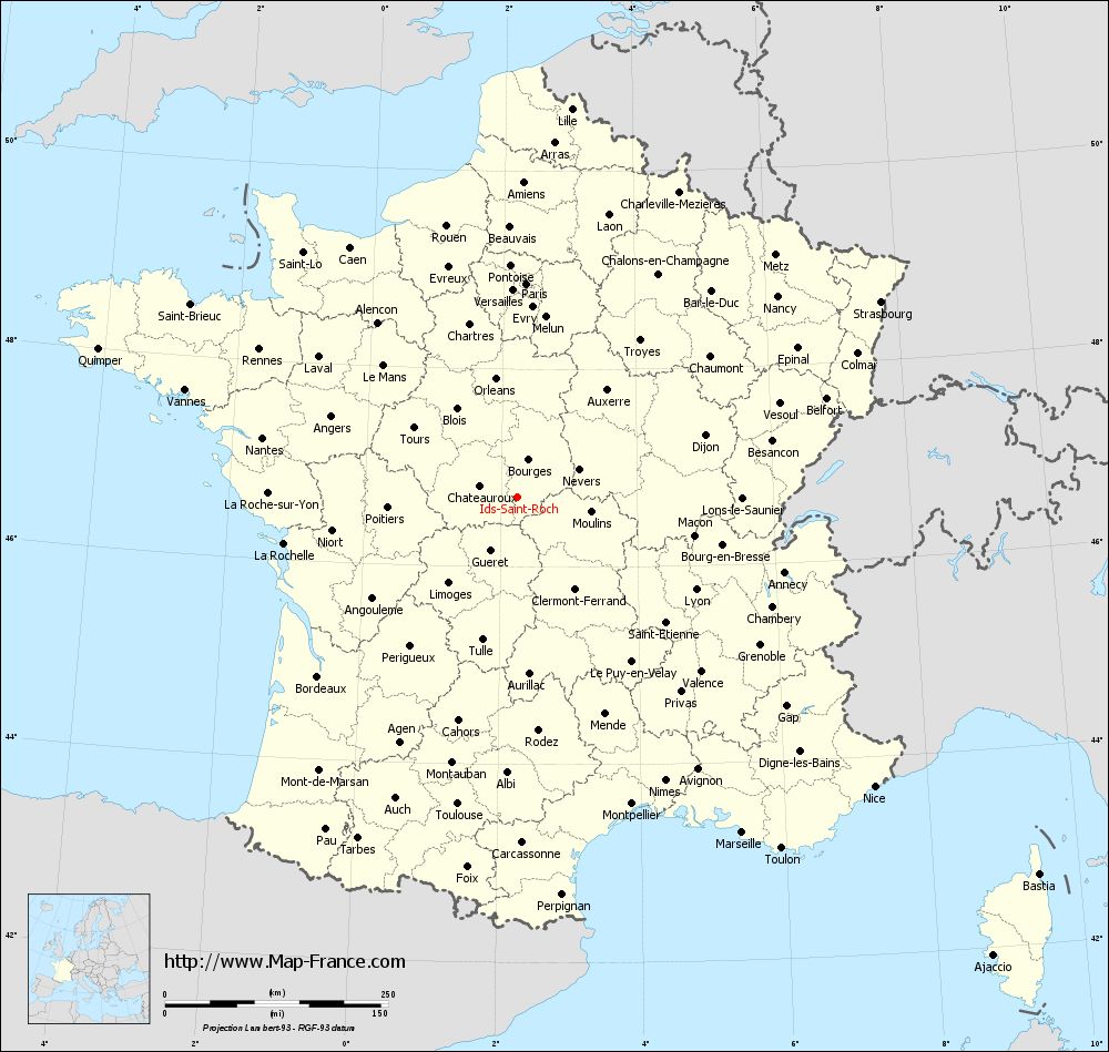
Voir la carte of Ids-Saint-Roch en grand format (1000 x 949)
|
Here is the localization of Ids-Saint-Roch on the France map of departments in Lambert 93 coordinates. The city of Ids-Saint-Roch is shown on the map by a red point.
The town of Ids-Saint-Roch is located in the department of Cher of the french region Centre.
The latitude of Ids-Saint-Roch is 46.706 degrees North.
The longitude of Ids-Saint-Roch is 2.241 degrees East.
Here the distance between Ids-Saint-Roch and the biggest cities of France:
Distances are calculated as the crow flies (orthodromic distance)
Distance between Ids-Saint-Roch and Paris : 239.49 kilometers
Distance between Ids-Saint-Roch and Marseille : 452.7 kilometers
Distance between Ids-Saint-Roch and Lyon : 225.36 kilometers
Distance between Ids-Saint-Roch and Toulouse : 350.65 kilometers
Distance between Ids-Saint-Roch and Nice : 515.19 kilometers
Distance between Ids-Saint-Roch and Nantes : 293.32 kilometers
Distance between Ids-Saint-Roch and Strasbourg : 462.39 kilometers
Distance between Ids-Saint-Roch and Montpellier : 367.14 kilometers
Distance between Ids-Saint-Roch and Bordeaux : 300.77 kilometers
Distance between Ids-Saint-Roch and Lille : 439.69 kilometers
Distance between Ids-Saint-Roch and Rennes : 333.4 kilometers
Distance between Ids-Saint-Roch and Reims : 313.19 kilometers
Clic here to see the map of Ids-Saint-Roch in full screen:
Ids-Saint-Roch on the map of french departments
|
This administrative map of Ids-Saint-Roch is reusable and modifiable by making a link to this page of the Map-France.com website or by using the given code :
|
Administrative base maps of Ids-Saint-Roch
|

See the administrative base map of Ids-Saint-Roch in full screen (1000 x 949)
|
Small administrative base map of Ids-Saint-Roch
|
This base map administrative of Ids-Saint-Roch is reusable and modifiable by making a link to this page of the Map-France.com website or by using the given code :
|
 French Version : http://www.cartesfrance.fr