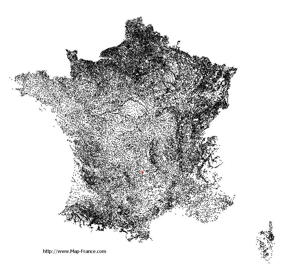
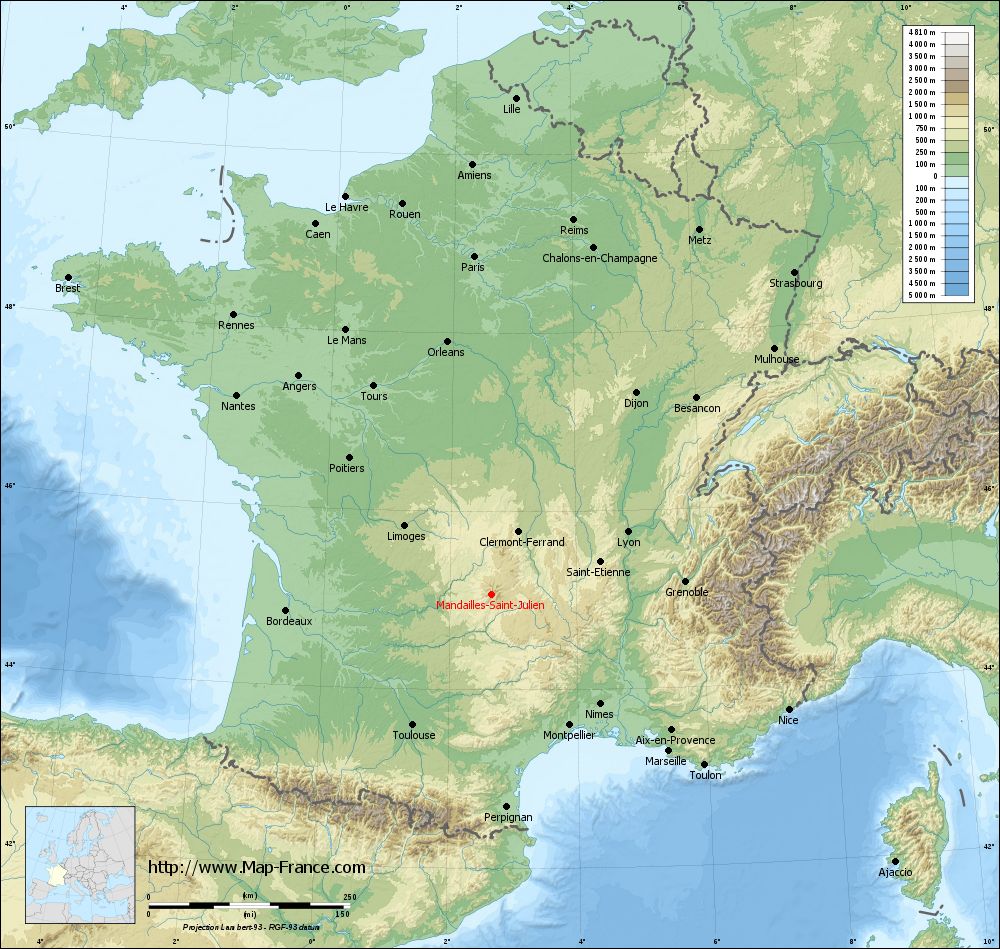
Mandailles-Saint-Julien on the relief France map in Lambert 93 coordinates
|
See the map of Mandailles-Saint-Julien in full screen (1000 x 949)
|
At left, here is the location of Mandailles-Saint-Julien on the relief France map in Lambert 93 coordinates.
Here are the altitudes of Mandailles-Saint-Julien :
- Town hall altitude of Mandailles-Saint-Julien is 940 meters
- Minimum altitude of Mandailles-Saint-Julien is 837 meters
- Maximum altitude of Mandailles-Saint-Julien is 1 780 meters
- Medium altitude of Mandailles-Saint-Julien is 1 309 meters
Here are the altitudes of Aurillac, prefecture of Cantal department:
- Town hall altitude of Aurillac is 620 meters
- Minimum altitude of Aurillac is 573 meters
- Maximum altitude of Aurillac is 867 meters
- Medium altitude of Aurillac is 720 meters
Here are the altitudes of the french biggest cities:
Paris : 33 meters
Marseille : 20 meters
Lyon : 237 meters
Toulouse : 146 meters
Nice : 10 meters
Nantes : 20 meters
Strasbourg : 144 meters
Montpellier : 35 meters
Bordeaux : 16 meters
Lille : 20 meters
Rennes : 35 meters
Reims : 83 meters
Click here for the terrain map of Mandailles-Saint-Julien in full screen:
Relief map of Mandailles-Saint-Julien
|
This relief map of Mandailles-Saint-Julien is reusable and modifiable by making a link to this page of the Map-France.com website or by using the given code :
|
Terrain base map of Mandailles-Saint-Julien
|

See the terrain base map of Mandailles-Saint-Julien in full screen (1000 x 949)
|
Small relief base map of Mandailles-Saint-Julien
|
This base map of Mandailles-Saint-Julien is reusable and modifiable by making a link to this page of the Map-France.com website or by using the given code :
|
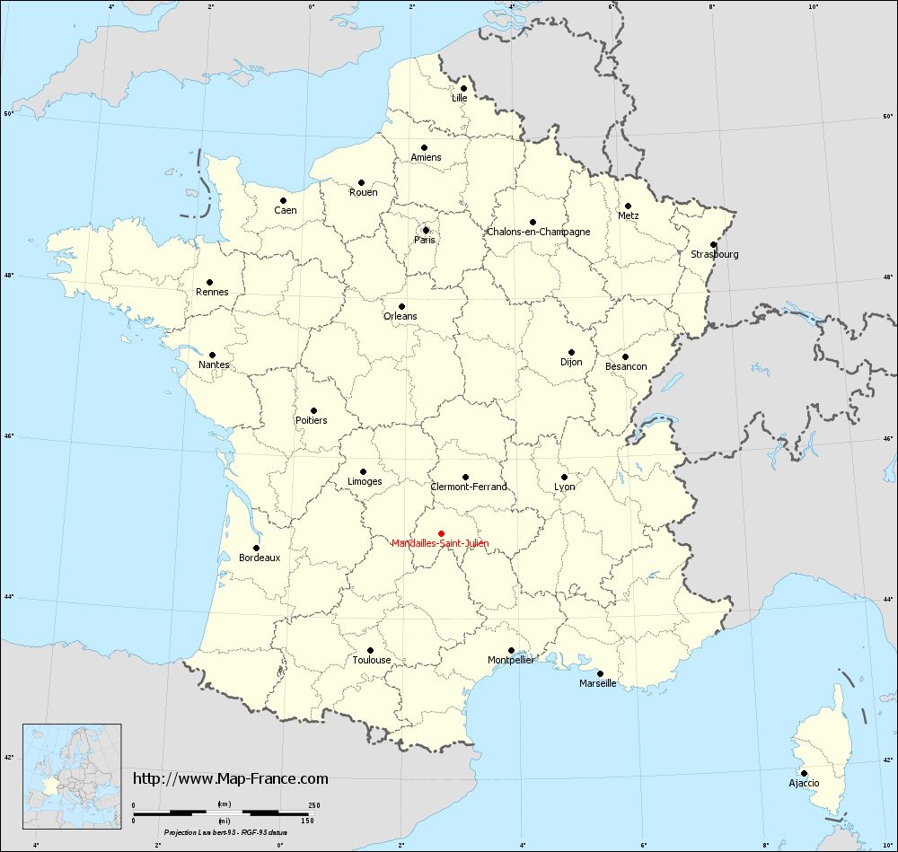
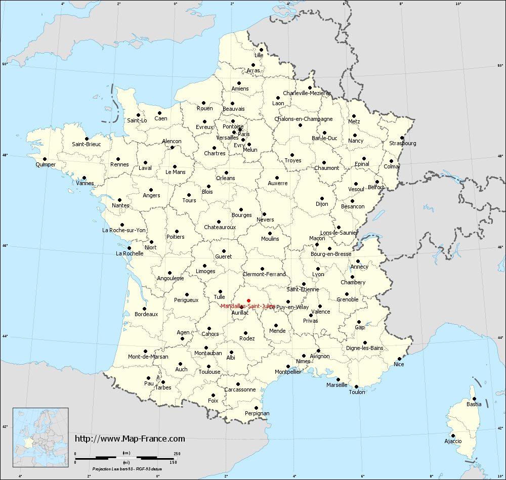
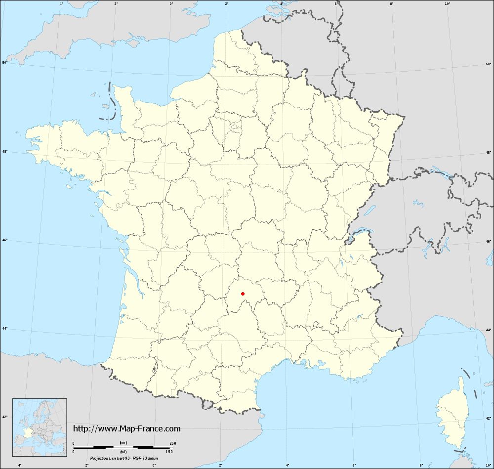
Map of Mandailles-Saint-Julien with regions and prefectures
|
View the map of Mandailles-Saint-Julien in full screen (1000 x 949)
|
You will find the location of Mandailles-Saint-Julien on the map of France of regions in Lambert 93 coordinates. The town of Mandailles-Saint-Julien is located in the department of Cantal of the french region Auvergne.
Geographical sexagesimal coordinates / GPS (WGS84):
Latitude: 45° 04' 07'' North
Longitude: 02° 39' 23'' East
Geographical decimal coordinates :
Latitude: 45.067 degrees (45.067° North)
Longitude: 2.656 degrees (2.656° East)
Lambert 93 coordinates :
X: 6 730 hectometers
Y: 64 411 hectometers
Lambert 2 coordinates :
X: 6 252 hectometers
Y: 20 076 hectometers
Below, the geographical coordinates of Aurillac, prefecture of the Cantal department:
Geographical sexagesimal coordinates / GPS (WGS84):
Latitude: 44° 55' 31'' North
Longitude: 02° 26' 23'' East
Geographical decimal coordinates :
Latitude: 44.927 degrees (44.927° North)
Longitude: 2.444 degrees (2.444° East)
Lambert 93 coordinates :
X: 6 558 hectometers
Y: 64 253 hectometers
Lambert 2 coordinates :
X: 6 082 hectometers
Y: 19 916 hectometers
|
This map of Mandailles-Saint-Julien is reusable and modifiable by making a link to this page of the Map-France.com website or by using the given code :
|
Map of Mandailles-Saint-Julien with departments and prefectures
|
Voir la carte of Mandailles-Saint-Julien en grand format (1000 x 949)
|
Here is the localization of Mandailles-Saint-Julien on the France map of departments in Lambert 93 coordinates. The city of Mandailles-Saint-Julien is shown on the map by a red point.
The town of Mandailles-Saint-Julien is located in the department of Cantal of the french region Auvergne.
The latitude of Mandailles-Saint-Julien is 45.067 degrees North.
The longitude of Mandailles-Saint-Julien is 2.656 degrees East.
Here the distance between Mandailles-Saint-Julien and the biggest cities of France:
Distances are calculated as the crow flies (orthodromic distance)
Distance between Mandailles-Saint-Julien and Paris : 422.15 kilometers
Distance between Mandailles-Saint-Julien and Marseille : 293.96 kilometers
Distance between Mandailles-Saint-Julien and Lyon : 186.51 kilometers
Distance between Mandailles-Saint-Julien and Toulouse : 189.1 kilometers
Distance between Mandailles-Saint-Julien and Nice : 395.66 kilometers
Distance between Mandailles-Saint-Julien and Nantes : 402.66 kilometers
Distance between Mandailles-Saint-Julien and Strasbourg : 550.22 kilometers
Distance between Mandailles-Saint-Julien and Montpellier : 188.72 kilometers
Distance between Mandailles-Saint-Julien and Bordeaux : 255.27 kilometers
Distance between Mandailles-Saint-Julien and Lille : 618.52 kilometers
Distance between Mandailles-Saint-Julien and Rennes : 472.9 kilometers
Distance between Mandailles-Saint-Julien and Reims : 477.05 kilometers
Clic here to see the map of Mandailles-Saint-Julien in full screen:
Mandailles-Saint-Julien on the map of french departments
|
This administrative map of Mandailles-Saint-Julien is reusable and modifiable by making a link to this page of the Map-France.com website or by using the given code :
|
Administrative base maps of Mandailles-Saint-Julien
|
See the administrative base map of Mandailles-Saint-Julien in full screen (1000 x 949)
|
Small administrative base map of Mandailles-Saint-Julien
|
This base map administrative of Mandailles-Saint-Julien is reusable and modifiable by making a link to this page of the Map-France.com website or by using the given code :
|
 French Version : http://www.cartesfrance.fr