|
|
|
|
|
|
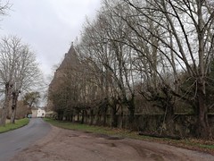
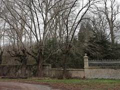
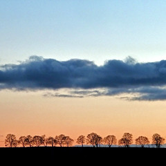
Marcenat pictures
|
|
|
|
Photos of the town of Marcenat
|
These photos taken near the town of Marcenat can be shown in full screen clicking on the thumbnails. Photos are copyrighted by their owners.
| | |
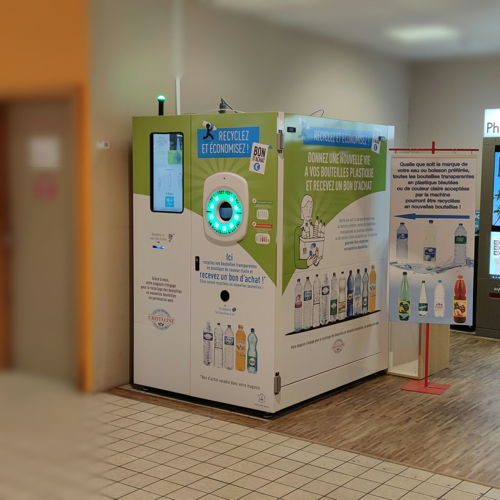
point recyclage, CORA (VICHY,FR03)
|
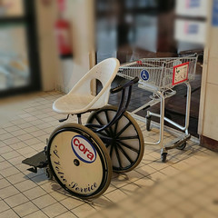
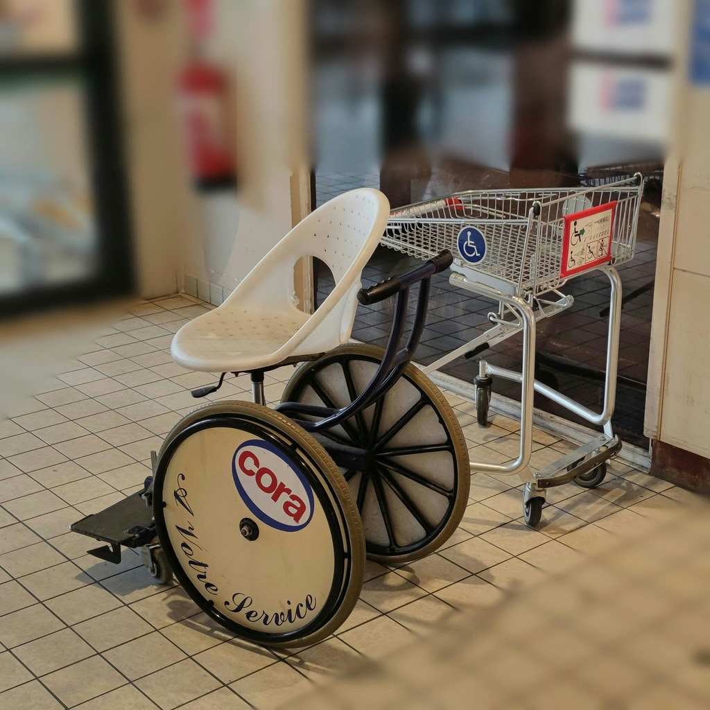
fauteuil & caddie PMR, CORA (VICHY,FR03)
|
| |

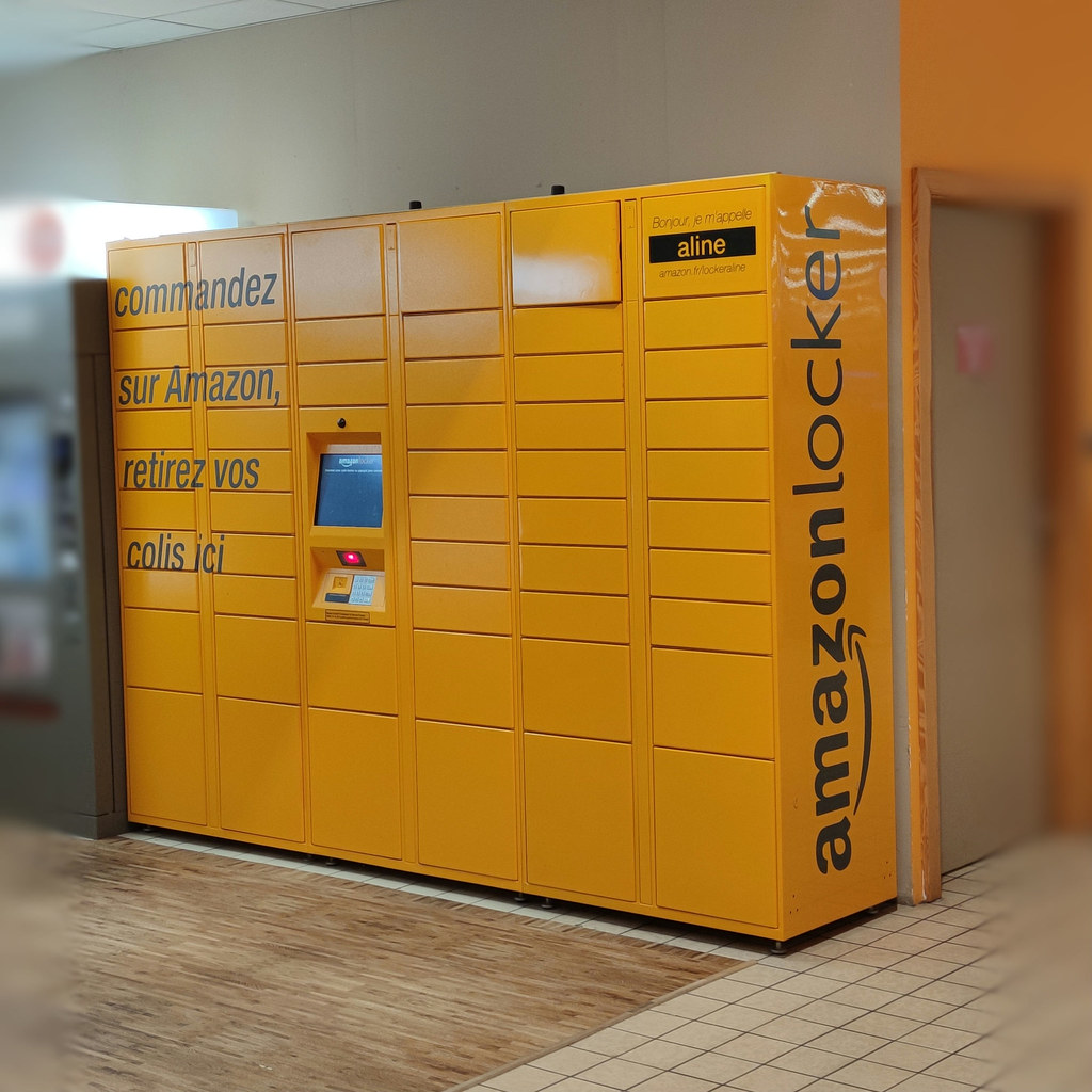
Amazonlocker, CORA (VICHY,FR03)
|
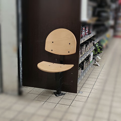
assise individuelle dédiée PMR, CORA (VICHY,FR03)
|
| |
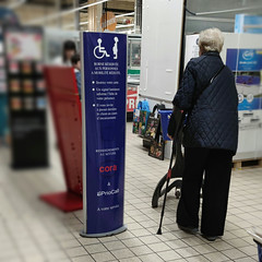
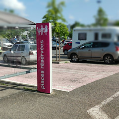
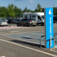
borne réservée PMR, CORA (VICHY,FR03)
|
cheminement piéton le long des places de stationnement, CORA (VICHY,FR03)
|
| |
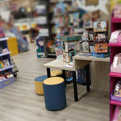
espace lecture aménagé enfants, CORA (VICHY,FR03)
|
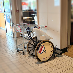
fauteuil & caddie PMR mis à disposition, CORA (VICHY,FR03)
|
| |

cheminement piéton de stationnement, CORA (VICHY,FR03)
|
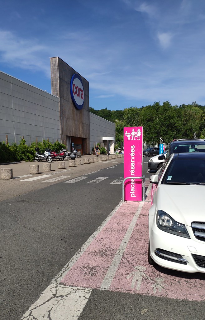
stationnement dédié aux familles, parking CORA (VICHY,FR03)
|
| |
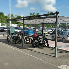
parking â vélos ombragé CORA (VICHY,FR03)
|
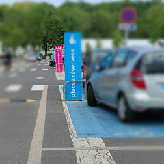
place de stationnement PMR, parking CORA (VICHY,FR03)
|
| |

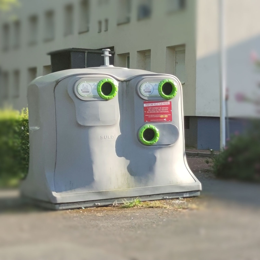
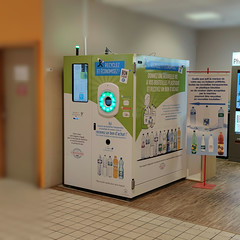
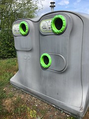
conteur recyclage PMR (VICHY,FR03)
|
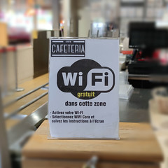
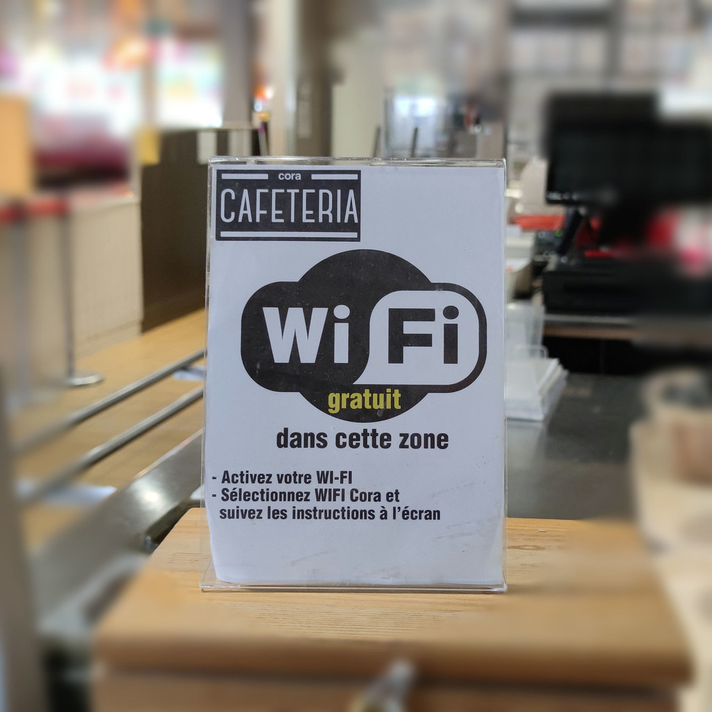
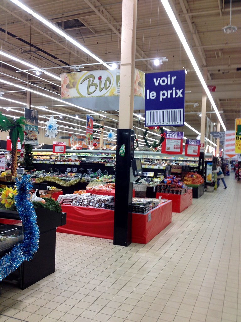
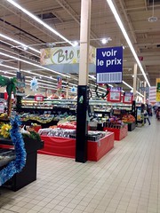
wifi, cafétéria de CORA (VICHY,FR03)
|
| |

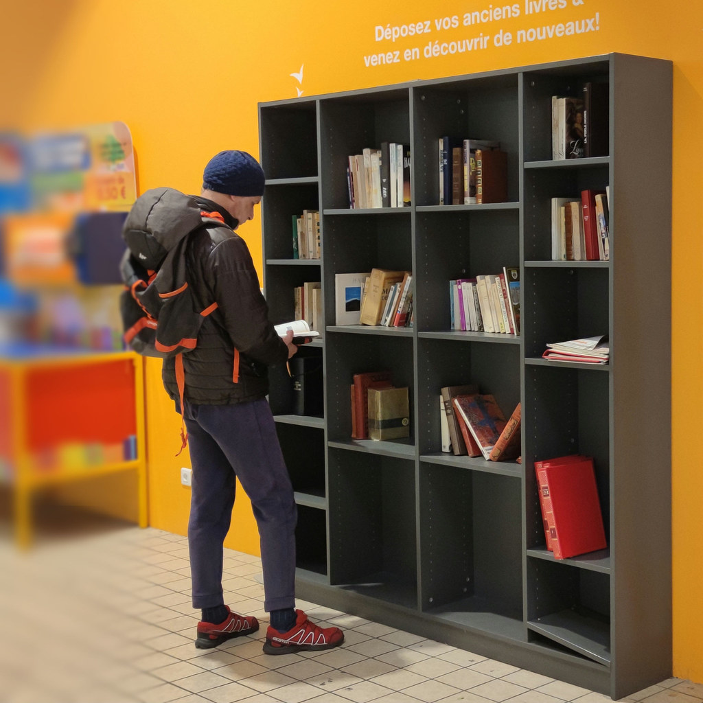
livres en libre-service, galerie CORA (VICHY,FR03)
|

place de stationnement dédiée : famille (hypermarché Cora, VICHY,FR03)
|
| |
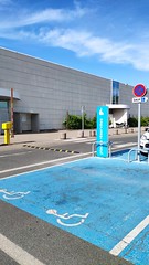
place de stationnement dédiée : PMR (hypermarché Cora, VICHY,FR03)
|
place de stationnement dédiée : police & pompier (hypermarché Cora, VICHY,FR03)
|
| |

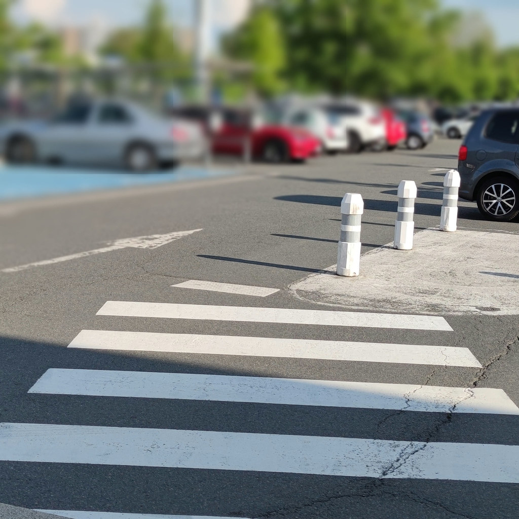
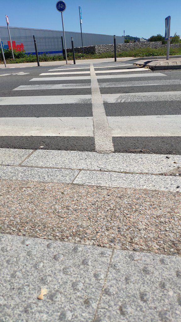
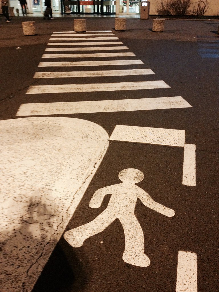
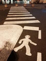
traversée piétonne, avenue Gilbert Roux (FR03,VICHY)
|
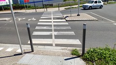
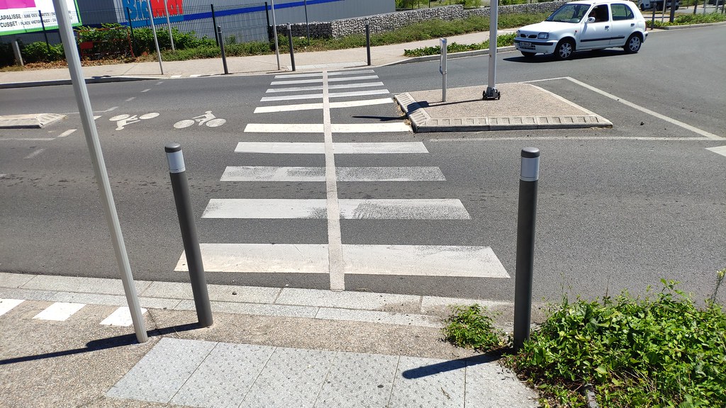
traversée vélos & piétons, avenue Gilbert Roux (FR03,VICHY)
|
| |

traversée vélos & piétons, avenue Gilbert Roux (FR03,VICHY)
|
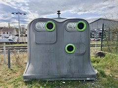
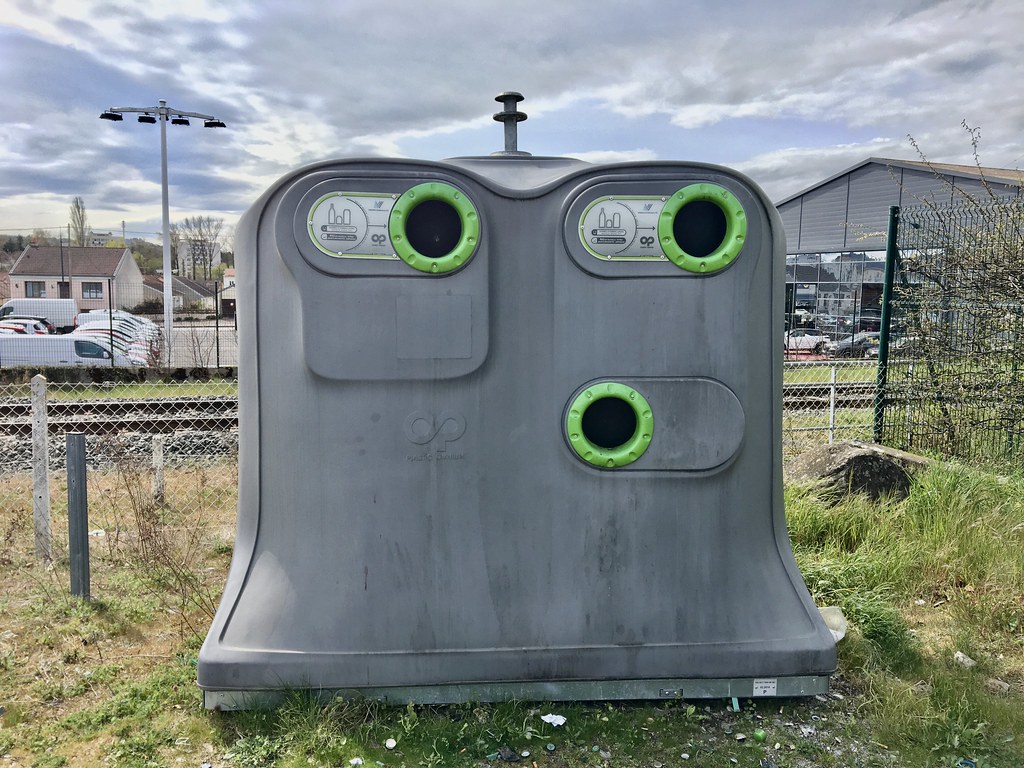
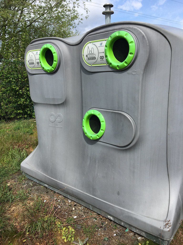
conteneur pour emballage en verre; Vichy communauté (VICHY,FR03)
|
| |
conteneur pour emballage en verre; Vichy communauté (VICHY,FR03)
|
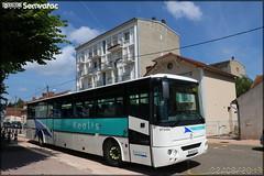
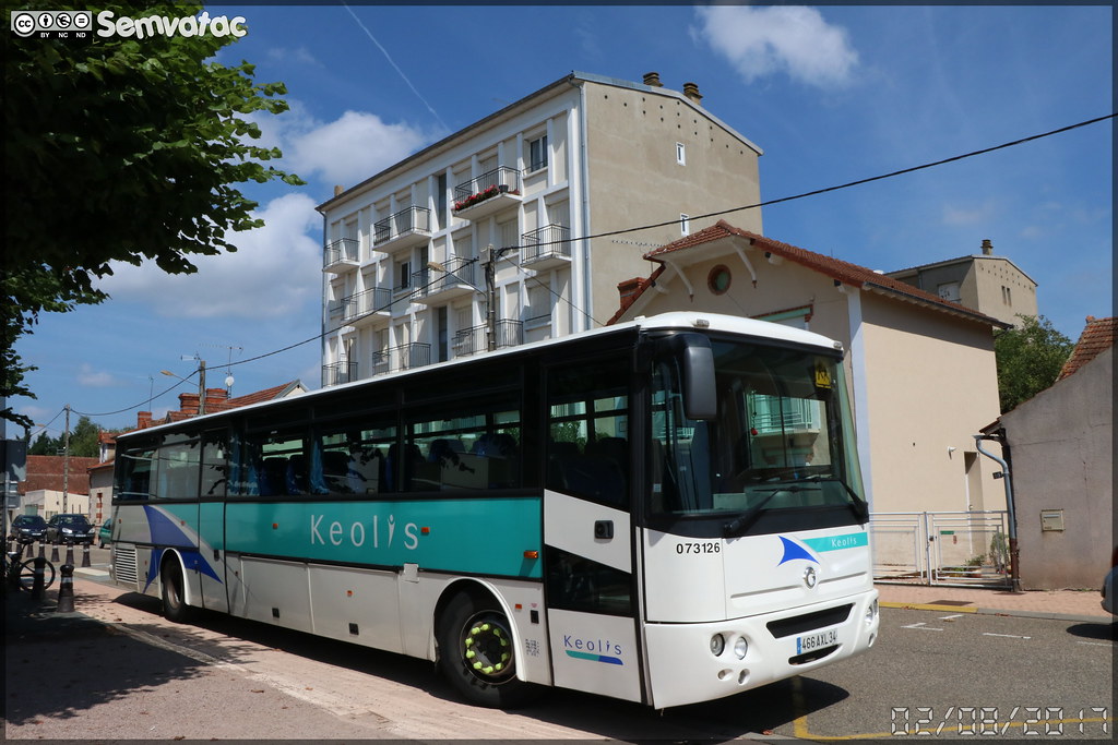
Irisbus Axer – Keolis n°073126
|
| |
Château de Jaligny 03 Jaligny-Sur-Besbre
|
Château de Jaligny 03 Jaligny-Sur-Besbre
|
| |
Rongères, Allier, France
|
(VICHY,FR03)
|
| |
(VICHY,FR03)
|
(VICHY,FR03)
|
|
Old photos of the town of Marcenat
|
These photos taken near the town of Marcenat can be shown in full screen clicking on the thumbnails. Photos are copyrighted by their owners.
|
|
Other maps, hotels and towns in france
Find another town, zip code, department, region, ...
Quick links Marcenat :
Back to the menus Map of France :
Make a link to this page of Marcenat with the following code :
|
|
Map of France | Regions | Departments | Cities | Partners | Terms | Contact
|