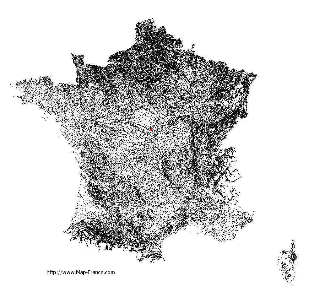
Saint-Germain-du-Puy on the relief France map in Lambert 93 coordinates
|

See the map of Saint-Germain-du-Puy in full screen (1000 x 949)
|
At left, here is the location of Saint-Germain-du-Puy on the relief France map in Lambert 93 coordinates.
Here are the altitudes of Saint-Germain-du-Puy :
- Town hall altitude of Saint-Germain-du-Puy is 149 meters
- Minimum altitude of Saint-Germain-du-Puy is 126 meters
- Maximum altitude of Saint-Germain-du-Puy is 174 meters
- Medium altitude of Saint-Germain-du-Puy is 150 meters
Here are the altitudes of Bourges, prefecture of Cher department:
- Town hall altitude of Bourges is 130 meters
- Minimum altitude of Bourges is 120 meters
- Maximum altitude of Bourges is 169 meters
- Medium altitude of Bourges is 145 meters
Here are the altitudes of the french biggest cities:
Paris : 33 meters
Marseille : 20 meters
Lyon : 237 meters
Toulouse : 146 meters
Nice : 10 meters
Nantes : 20 meters
Strasbourg : 144 meters
Montpellier : 35 meters
Bordeaux : 16 meters
Lille : 20 meters
Rennes : 35 meters
Reims : 83 meters
Click here for the terrain map of Saint-Germain-du-Puy in full screen:
Relief map of Saint-Germain-du-Puy
|
This relief map of Saint-Germain-du-Puy is reusable and modifiable by making a link to this page of the Map-France.com website or by using the given code :
|
Terrain base map of Saint-Germain-du-Puy
|

See the terrain base map of Saint-Germain-du-Puy in full screen (1000 x 949)
|
Small relief base map of Saint-Germain-du-Puy

|
This base map of Saint-Germain-du-Puy is reusable and modifiable by making a link to this page of the Map-France.com website or by using the given code :
|
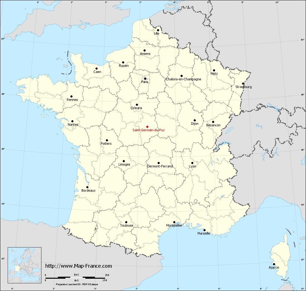
Map of Saint-Germain-du-Puy with regions and prefectures
|
View the map of Saint-Germain-du-Puy in full screen (1000 x 949)
|
You will find the location of Saint-Germain-du-Puy on the map of France of regions in Lambert 93 coordinates. The city of Saint-Germain-du-Puy is located in the department of Cher of the french region Centre.
Geographical sexagesimal coordinates / GPS (WGS84):
Latitude: 47° 05' 57'' North
Longitude: 02° 28' 52'' East
Geographical decimal coordinates :
Latitude: 47.099 degrees (47.099° North)
Longitude: 2.484 degrees (2.484° East)
Lambert 93 coordinates :
X: 6 607 hectometers
Y: 66 667 hectometers
Lambert 2 coordinates :
X: 6 110 hectometers
Y: 22 333 hectometers
Below, the geographical coordinates of Bourges, prefecture of the Cher department:
Geographical sexagesimal coordinates / GPS (WGS84):
Latitude: 47° 05' 01'' North
Longitude: 02° 23' 44'' East
Geographical decimal coordinates :
Latitude: 47.08 degrees (47.08° North)
Longitude: 2.397 degrees (2.397° East)
Lambert 93 coordinates :
X: 6 541 hectometers
Y: 66 650 hectometers
Lambert 2 coordinates :
X: 6 045 hectometers
Y: 22 315 hectometers
|
This map of Saint-Germain-du-Puy is reusable and modifiable by making a link to this page of the Map-France.com website or by using the given code :
|
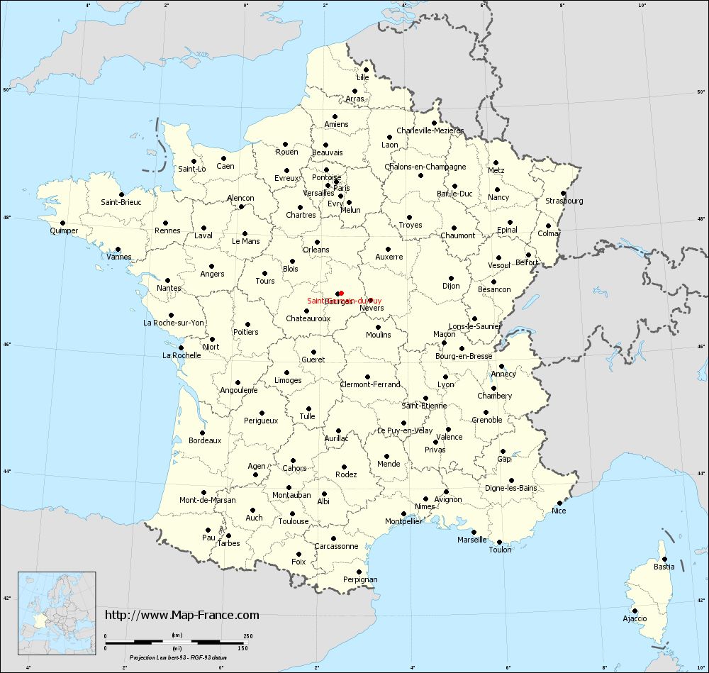
Map of Saint-Germain-du-Puy with departments and prefectures
|
Voir la carte of Saint-Germain-du-Puy en grand format (1000 x 949)
|
Here is the localization of Saint-Germain-du-Puy on the France map of departments in Lambert 93 coordinates. The city of Saint-Germain-du-Puy is shown on the map by a red point.
The city of Saint-Germain-du-Puy is located in the department of Cher of the french region Centre.
The latitude of Saint-Germain-du-Puy is 47.099 degrees North.
The longitude of Saint-Germain-du-Puy is 2.484 degrees East.
Here the distance between Saint-Germain-du-Puy and the biggest cities of France:
Distances are calculated as the crow flies (orthodromic distance)
Distance between Saint-Germain-du-Puy and Paris : 195.99 kilometers
Distance between Saint-Germain-du-Puy and Marseille : 480.05 kilometers
Distance between Saint-Germain-du-Puy and Lyon : 233.57 kilometers
Distance between Saint-Germain-du-Puy and Toulouse : 397.05 kilometers
Distance between Saint-Germain-du-Puy and Nice : 529.98 kilometers
Distance between Saint-Germain-du-Puy and Nantes : 305.28 kilometers
Distance between Saint-Germain-du-Puy and Strasbourg : 426.27 kilometers
Distance between Saint-Germain-du-Puy and Montpellier : 402.68 kilometers
Distance between Saint-Germain-du-Puy and Bordeaux : 344.36 kilometers
Distance between Saint-Germain-du-Puy and Lille : 394.22 kilometers
Distance between Saint-Germain-du-Puy and Rennes : 331.4 kilometers
Distance between Saint-Germain-du-Puy and Reims : 265.85 kilometers
Clic here to see the map of Saint-Germain-du-Puy in full screen:
Saint-Germain-du-Puy on the map of french departments
|
This administrative map of Saint-Germain-du-Puy is reusable and modifiable by making a link to this page of the Map-France.com website or by using the given code :
|
Administrative base maps of Saint-Germain-du-Puy
|

See the administrative base map of Saint-Germain-du-Puy in full screen (1000 x 949)
|
Small administrative base map of Saint-Germain-du-Puy
|
This base map administrative of Saint-Germain-du-Puy is reusable and modifiable by making a link to this page of the Map-France.com website or by using the given code :
|
 French Version : http://www.cartesfrance.fr