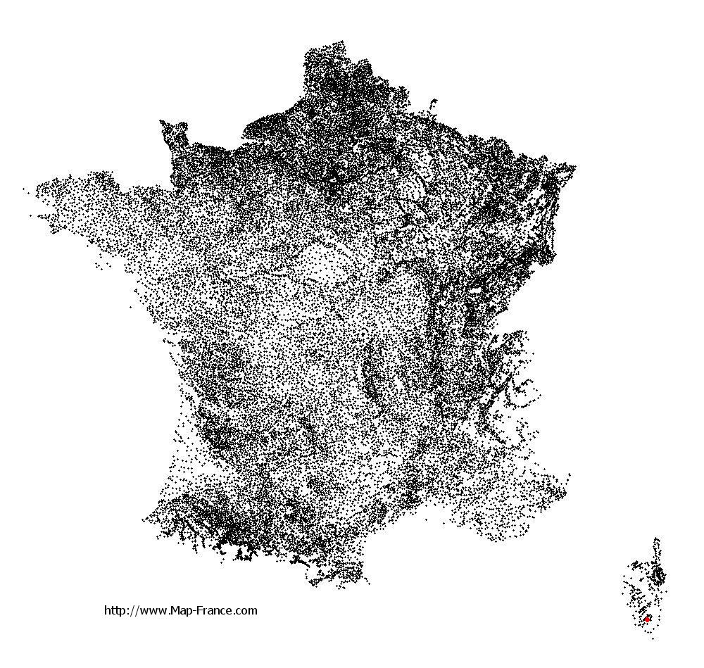
Sainte-Lucie-de-Tallano on the relief France map in Lambert 93 coordinates
|

See the map of Sainte-Lucie-de-Tallano in full screen (1000 x 949)
|
At left, here is the location of Sainte-Lucie-de-Tallano on the relief France map in Lambert 93 coordinates.
Here are the altitudes of Sainte-Lucie-de-Tallano :
- Town hall altitude of Sainte-Lucie-de-Tallano is 500 meters
- Minimum altitude of Sainte-Lucie-de-Tallano is 60 meters
- Maximum altitude of Sainte-Lucie-de-Tallano is 844 meters
- Medium altitude of Sainte-Lucie-de-Tallano is 452 meters
Here are the altitudes of Ajaccio, prefecture of Corse-du-Sud department:
- Town hall altitude of Ajaccio is 20 meters
- Minimum altitude of Ajaccio is 0 meters
- Maximum altitude of Ajaccio is 787 meters
- Medium altitude of Ajaccio is 394 meters
Here are the altitudes of the french biggest cities:
Paris : 33 meters
Marseille : 20 meters
Lyon : 237 meters
Toulouse : 146 meters
Nice : 10 meters
Nantes : 20 meters
Strasbourg : 144 meters
Montpellier : 35 meters
Bordeaux : 16 meters
Lille : 20 meters
Rennes : 35 meters
Reims : 83 meters
Click here for the terrain map of Sainte-Lucie-de-Tallano in full screen:
Relief map of Sainte-Lucie-de-Tallano
|
This relief map of Sainte-Lucie-de-Tallano is reusable and modifiable by making a link to this page of the Map-France.com website or by using the given code :
|
Terrain base map of Sainte-Lucie-de-Tallano
|

See the terrain base map of Sainte-Lucie-de-Tallano in full screen (1000 x 949)
|
Small relief base map of Sainte-Lucie-de-Tallano

|
This base map of Sainte-Lucie-de-Tallano is reusable and modifiable by making a link to this page of the Map-France.com website or by using the given code :
|
Map of Sainte-Lucie-de-Tallano with regions and prefectures
|
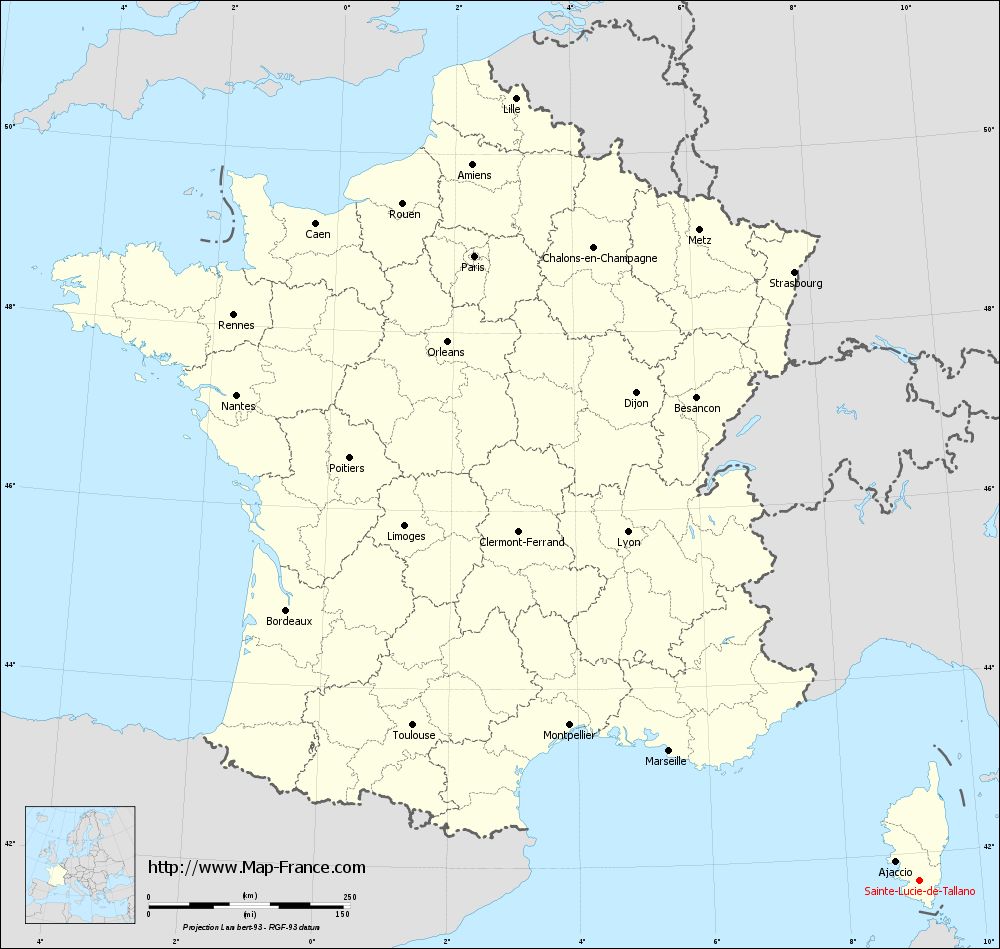
View the map of Sainte-Lucie-de-Tallano in full screen (1000 x 949)
|
You will find the location of Sainte-Lucie-de-Tallano on the map of France of regions in Lambert 93 coordinates. The town of Sainte-Lucie-de-Tallano is located in the department of Corse-du-Sud of the french region Corse.
Geographical sexagesimal coordinates / GPS (WGS84):
Latitude: 41° 41' 52'' North
Longitude: 09° 03' 51'' East
Geographical decimal coordinates :
Latitude: 41.693 degrees (41.693° North)
Longitude: 9.069 degrees (9.069° East)
Lambert 93 coordinates :
X: 12 056 hectometers
Y: 60 857 hectometers
Lambert 2 coordinates :
X: 11 614 hectometers
Y: 16 564 hectometers
Below, the geographical coordinates of Ajaccio, prefecture of the Corse-du-Sud department:
Geographical sexagesimal coordinates / GPS (WGS84):
Latitude: 41° 55' 32'' North
Longitude: 08° 44' 11'' East
Geographical decimal coordinates :
Latitude: 41.921 degrees (41.921° North)
Longitude: 8.735 degrees (8.735° East)
Lambert 93 coordinates :
X: 11 764 hectometers
Y: 61 090 hectometers
Lambert 2 coordinates :
X: 11 321 hectometers
Y: 16 795 hectometers
|
This map of Sainte-Lucie-de-Tallano is reusable and modifiable by making a link to this page of the Map-France.com website or by using the given code :
|
Map of Sainte-Lucie-de-Tallano with departments and prefectures
|
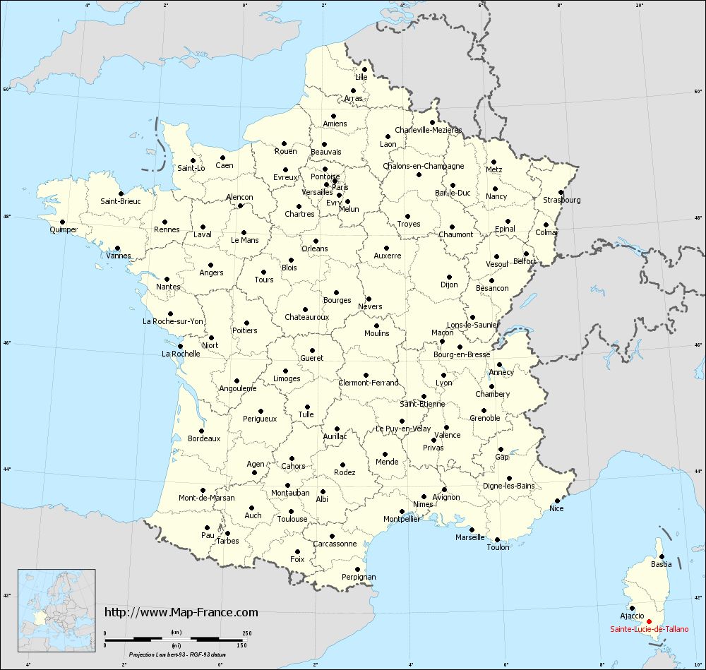
Voir la carte of Sainte-Lucie-de-Tallano en grand format (1000 x 949)
|
Here is the localization of Sainte-Lucie-de-Tallano on the France map of departments in Lambert 93 coordinates. The city of Sainte-Lucie-de-Tallano is shown on the map by a red point.
The town of Sainte-Lucie-de-Tallano is located in the department of Corse-du-Sud of the french region Corse.
The latitude of Sainte-Lucie-de-Tallano is 41.693 degrees North.
The longitude of Sainte-Lucie-de-Tallano is 9.069 degrees East.
Here the distance between Sainte-Lucie-de-Tallano and the biggest cities of France:
Distances are calculated as the crow flies (orthodromic distance)
Distance between Sainte-Lucie-de-Tallano and Paris : 953.39 kilometers
Distance between Sainte-Lucie-de-Tallano and Marseille : 349.48 kilometers
Distance between Sainte-Lucie-de-Tallano and Lyon : 565.29 kilometers
Distance between Sainte-Lucie-de-Tallano and Toulouse : 657.43 kilometers
Distance between Sainte-Lucie-de-Tallano and Nice : 267.94 kilometers
Distance between Sainte-Lucie-de-Tallano and Nantes : 1040.99 kilometers
Distance between Sainte-Lucie-de-Tallano and Strasbourg : 772.54 kilometers
Distance between Sainte-Lucie-de-Tallano and Montpellier : 474.8 kilometers
Distance between Sainte-Lucie-de-Tallano and Bordeaux : 854.44 kilometers
Distance between Sainte-Lucie-de-Tallano and Lille : 1094.78 kilometers
Distance between Sainte-Lucie-de-Tallano and Rennes : 1104.4 kilometers
Distance between Sainte-Lucie-de-Tallano and Reims : 927.14 kilometers
Clic here to see the map of Sainte-Lucie-de-Tallano in full screen:
Sainte-Lucie-de-Tallano on the map of french departments
|
This administrative map of Sainte-Lucie-de-Tallano is reusable and modifiable by making a link to this page of the Map-France.com website or by using the given code :
|
Administrative base maps of Sainte-Lucie-de-Tallano
|

See the administrative base map of Sainte-Lucie-de-Tallano in full screen (1000 x 949)
|
Small administrative base map of Sainte-Lucie-de-Tallano
|
This base map administrative of Sainte-Lucie-de-Tallano is reusable and modifiable by making a link to this page of the Map-France.com website or by using the given code :
|
 French Version : http://www.cartesfrance.fr