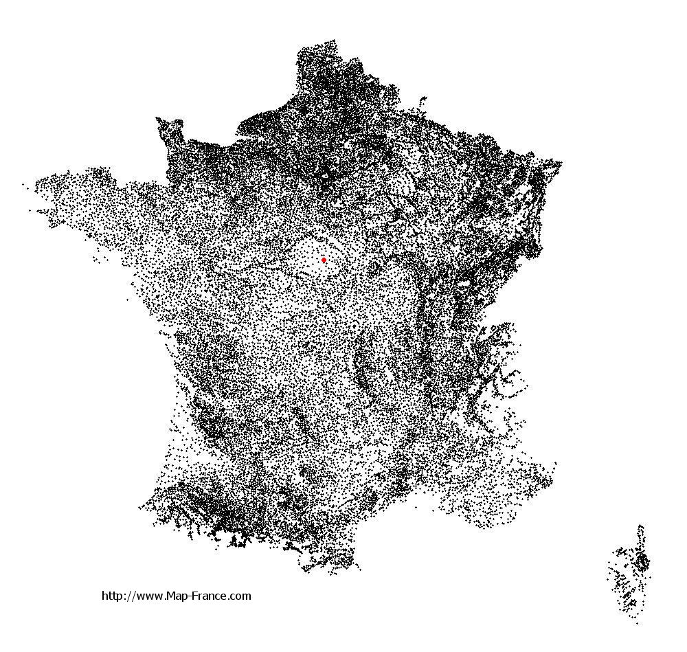
Sainte-Montaine on the relief France map in Lambert 93 coordinates
|

See the map of Sainte-Montaine in full screen (1000 x 949)
|
At left, here is the location of Sainte-Montaine on the relief France map in Lambert 93 coordinates.
Here are the altitudes of Sainte-Montaine :
- Town hall altitude of Sainte-Montaine is 158 meters
- Minimum altitude of Sainte-Montaine is 133 meters
- Maximum altitude of Sainte-Montaine is 183 meters
- Medium altitude of Sainte-Montaine is 158 meters
Here are the altitudes of Bourges, prefecture of Cher department:
- Town hall altitude of Bourges is 130 meters
- Minimum altitude of Bourges is 120 meters
- Maximum altitude of Bourges is 169 meters
- Medium altitude of Bourges is 145 meters
Here are the altitudes of the french biggest cities:
Paris : 33 meters
Marseille : 20 meters
Lyon : 237 meters
Toulouse : 146 meters
Nice : 10 meters
Nantes : 20 meters
Strasbourg : 144 meters
Montpellier : 35 meters
Bordeaux : 16 meters
Lille : 20 meters
Rennes : 35 meters
Reims : 83 meters
Click here for the terrain map of Sainte-Montaine in full screen:
Relief map of Sainte-Montaine
|
This relief map of Sainte-Montaine is reusable and modifiable by making a link to this page of the Map-France.com website or by using the given code :
|
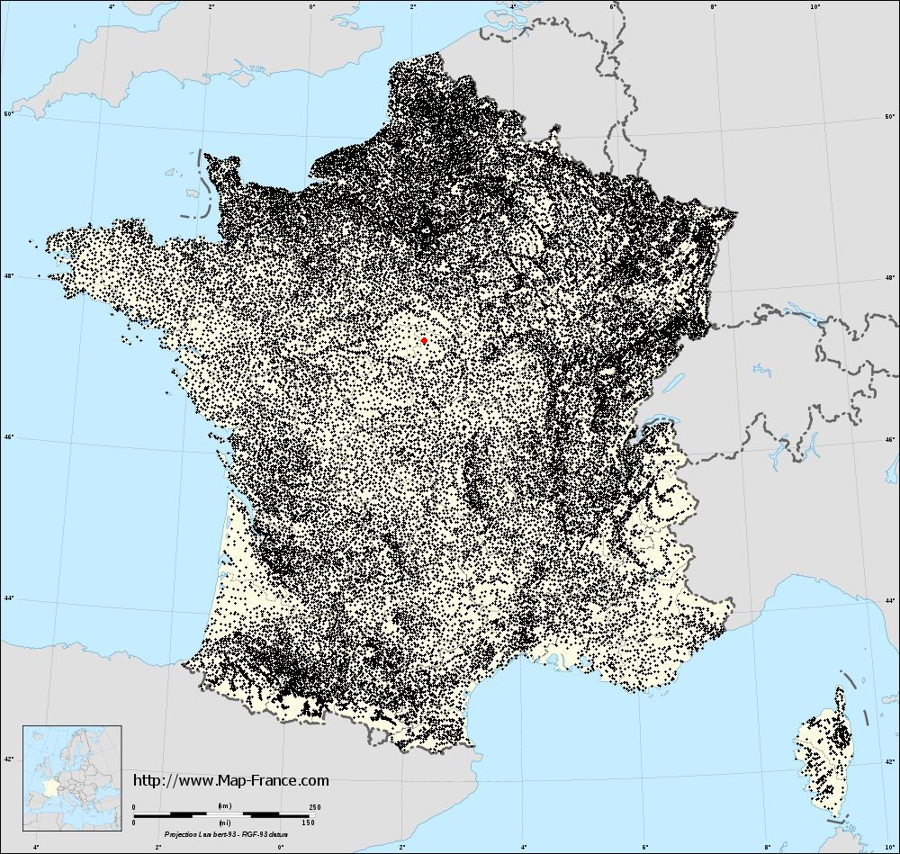
Terrain base map of Sainte-Montaine
|

See the terrain base map of Sainte-Montaine in full screen (1000 x 949)
|
Small relief base map of Sainte-Montaine

|
This base map of Sainte-Montaine is reusable and modifiable by making a link to this page of the Map-France.com website or by using the given code :
|
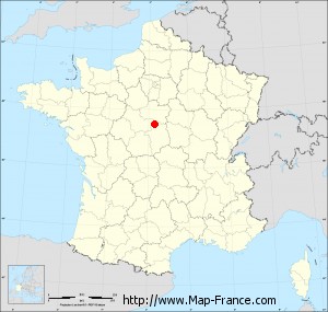
Map of Sainte-Montaine with regions and prefectures
|
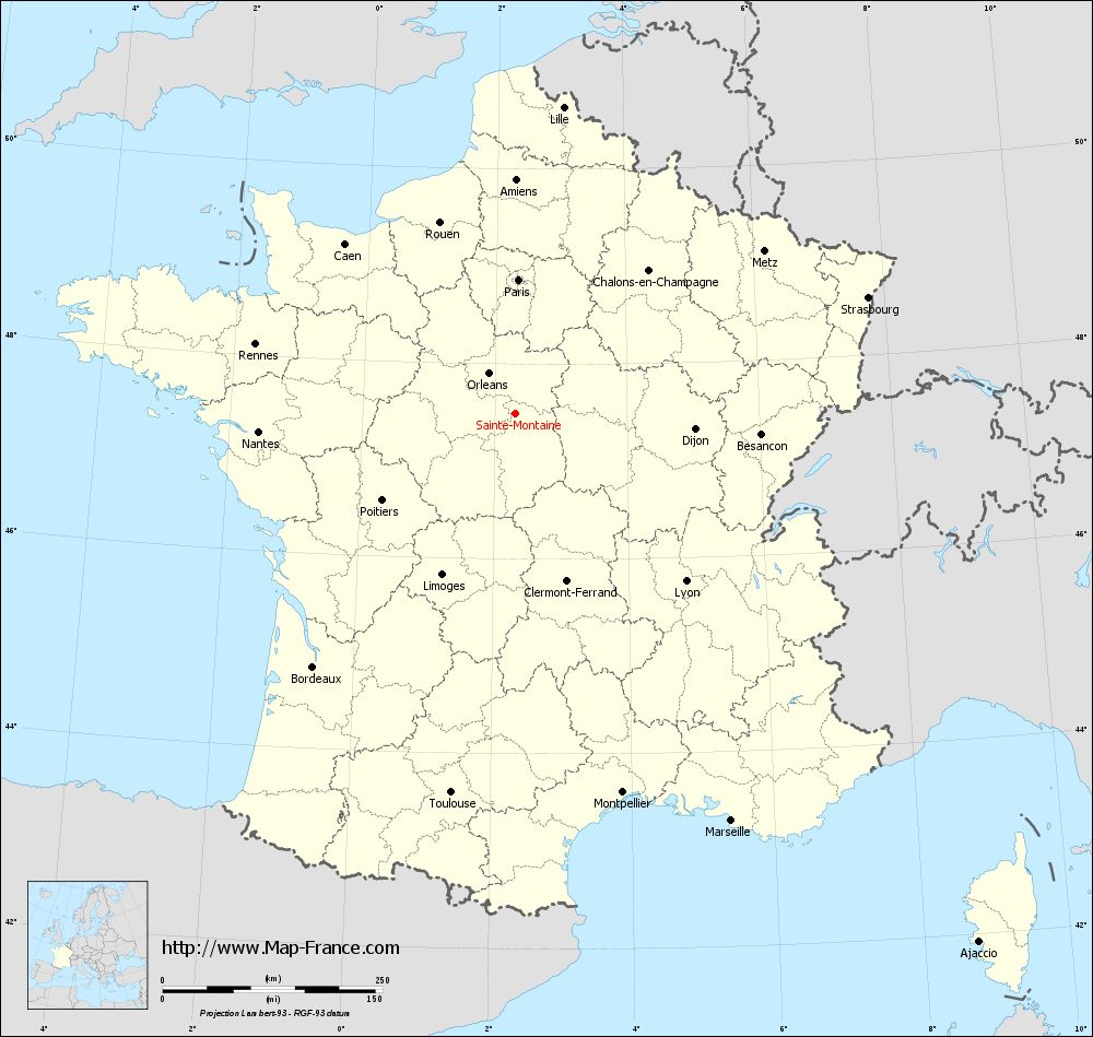
View the map of Sainte-Montaine in full screen (1000 x 949)
|
You will find the location of Sainte-Montaine on the map of France of regions in Lambert 93 coordinates. The town of Sainte-Montaine is located in the department of Cher of the french region Centre.
Geographical sexagesimal coordinates / GPS (WGS84):
Latitude: 47° 29' 25'' North
Longitude: 02° 19' 12'' East
Geographical decimal coordinates :
Latitude: 47.49 degrees (47.49° North)
Longitude: 2.32 degrees (2.32° East)
Lambert 93 coordinates :
X: 6 488 hectometers
Y: 67 102 hectometers
Lambert 2 coordinates :
X: 5 988 hectometers
Y: 22 767 hectometers
Below, the geographical coordinates of Bourges, prefecture of the Cher department:
Geographical sexagesimal coordinates / GPS (WGS84):
Latitude: 47° 05' 01'' North
Longitude: 02° 23' 44'' East
Geographical decimal coordinates :
Latitude: 47.08 degrees (47.08° North)
Longitude: 2.397 degrees (2.397° East)
Lambert 93 coordinates :
X: 6 541 hectometers
Y: 66 650 hectometers
Lambert 2 coordinates :
X: 6 045 hectometers
Y: 22 315 hectometers
|
This map of Sainte-Montaine is reusable and modifiable by making a link to this page of the Map-France.com website or by using the given code :
|
Map of Sainte-Montaine with departments and prefectures
|
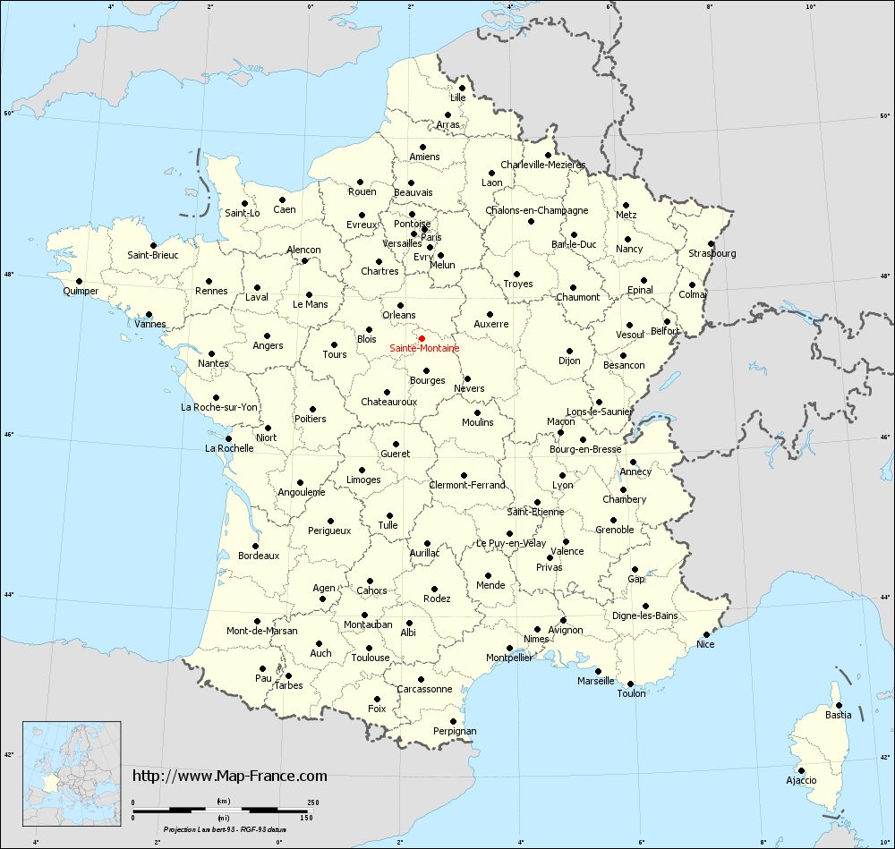
Voir la carte of Sainte-Montaine en grand format (1000 x 949)
|
Here is the localization of Sainte-Montaine on the France map of departments in Lambert 93 coordinates. The city of Sainte-Montaine is shown on the map by a red point.
The town of Sainte-Montaine is located in the department of Cher of the french region Centre.
The latitude of Sainte-Montaine is 47.49 degrees North.
The longitude of Sainte-Montaine is 2.32 degrees East.
Here the distance between Sainte-Montaine and the biggest cities of France:
Distances are calculated as the crow flies (orthodromic distance)
Distance between Sainte-Montaine and Paris : 152.31 kilometers
Distance between Sainte-Montaine and Marseille : 524.03 kilometers
Distance between Sainte-Montaine and Lyon : 271.59 kilometers
Distance between Sainte-Montaine and Toulouse : 437.46 kilometers
Distance between Sainte-Montaine and Nice : 569.3 kilometers
Distance between Sainte-Montaine and Nantes : 293.1 kilometers
Distance between Sainte-Montaine and Strasbourg : 421.64 kilometers
Distance between Sainte-Montaine and Montpellier : 447.82 kilometers
Distance between Sainte-Montaine and Bordeaux : 368.88 kilometers
Distance between Sainte-Montaine and Lille : 352.62 kilometers
Distance between Sainte-Montaine and Rennes : 306.3 kilometers
Distance between Sainte-Montaine and Reims : 233.53 kilometers
Clic here to see the map of Sainte-Montaine in full screen:
Sainte-Montaine on the map of french departments
|
This administrative map of Sainte-Montaine is reusable and modifiable by making a link to this page of the Map-France.com website or by using the given code :
|
Administrative base maps of Sainte-Montaine
|

See the administrative base map of Sainte-Montaine in full screen (1000 x 949)
|
Small administrative base map of Sainte-Montaine
|
This base map administrative of Sainte-Montaine is reusable and modifiable by making a link to this page of the Map-France.com website or by using the given code :
|
 French Version : http://www.cartesfrance.fr