|
|
|
|
|
|
Thil pictures
|
|
|
|
Photos of the town of Thil
|
These photos taken near the town of Thil can be shown in full screen clicking on the thumbnails. Photos are copyrighted by their owners.
| | |

Sanem-s Castle: Not Quite Hogwarts, But Still Magical
|

Goats Behind Bars: The Ultimate Lockdown
|
| |

Pylon perspective, where-s the power line?
|

Bee-utifully Grafted: When Street Art Gets its Buzz On!
|
| |

Fond-de-Gras- Rusty Heart
|

Shiny Track, Explore Path, So Many Trees!
|
| |

Lines, patterns, and sunlight
|

Grounded Donkey and Goat
|
| |

Fractal patterns of blossoming tree
|

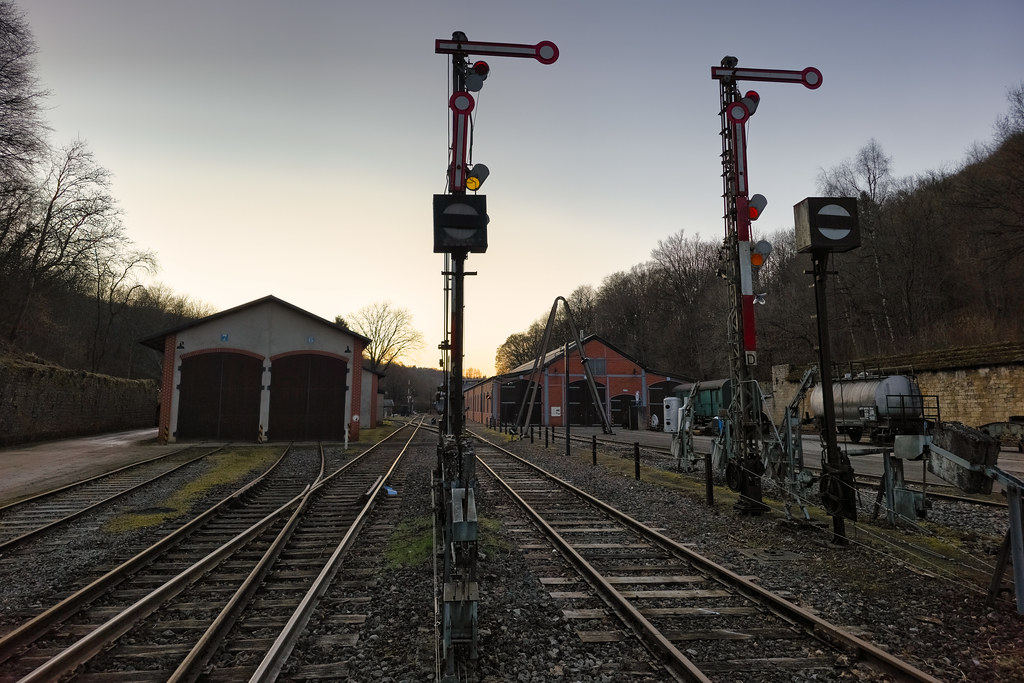
Fond-de-Gras Gathering: Tracks, Trains, and Tales
|
| |

Fueling My Soul, One Step at a Time.
|

Pathway of Sunlight and Shadow
|
| |

Patterns of Red and Cream
|

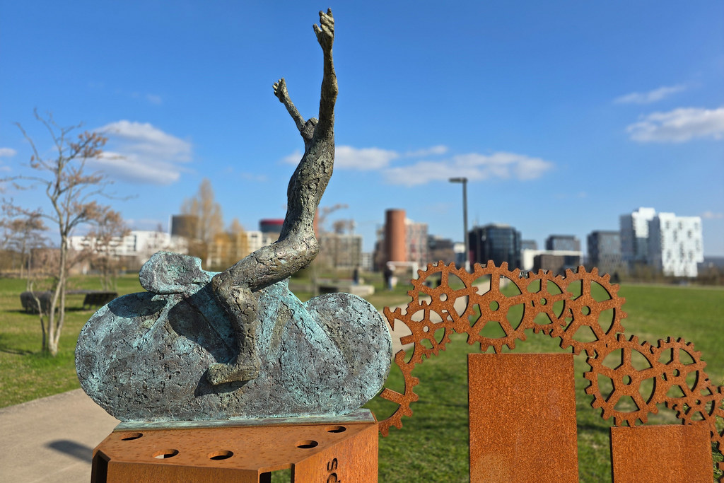
Whee! Reaching for the Clouds!
|
| |

A Million Distractions, One Beautiful Trail
|

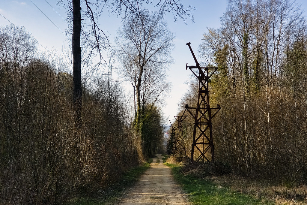
From Tower to Tower, the Path Unfolds
|
| |
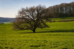
When Nature Can-t Decide if It-s Spring or Autumn
|

Belval Blast Furnaces: Industrial Redevelopment
|
| |

Meeting of Minds: Art and Abandonment
|

Holy Cow! What a Lawn Ornament!
|
| |

Movement and Light: A Visual Symphony.
|

Community Creations: Building Together the Buergbrennen
|
| |

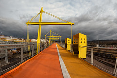
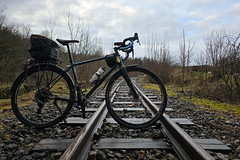
Wheelie Good Condition!
|

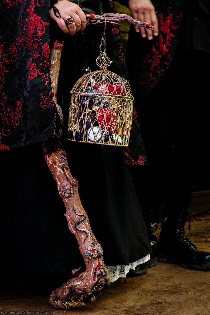
Anno 1900 - Steampunk Convention Luxembourg 2023 - Jessie
|
| |

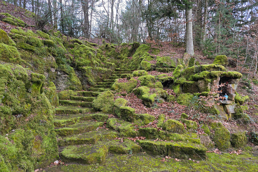
Pathways and Possibilities in Rumelange
|

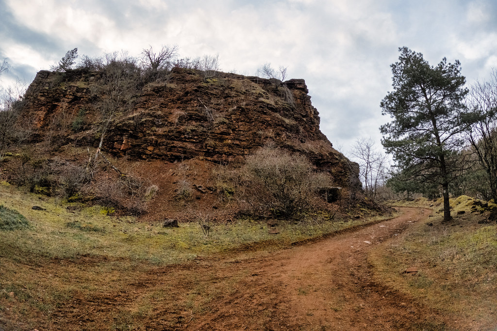
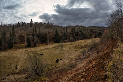
The Raw Embrace of the Red Earth
|
| |
Is This the Road to Oz... Or Just Belval?
|

Emerald Ascent
|
| |
Railway Adventures
|
Echoes of Time in Esch
|
|
Old photos of the town of Thil
|
These photos taken near the town of Thil can be shown in full screen clicking on the thumbnails. Photos are copyrighted by their owners.
|
|
Other maps, hotels and towns in france
Find another town, zip code, department, region, ...
Quick links Thil :
Back to the menus Map of France :
Make a link to this page of Thil with the following code :
|
|
Map of France | Regions | Departments | Cities | Partners | Terms | Contact
|