Map of France

Villerupt photos


Find a town, a zip code,
a department, a region... in France
I like Map-France.com !


Villerupt pictures


Here are the photos of the city of Villerupt and nearby towns. Villerupt is located in the department of Meurthe-et-Moselle in the region of Lorraine. You will find the satellite map of Villerupt under these photos.

To see photos of nearby towns of Villerupt, you can try the following links :
   - Audun-le-Tiche photos : town located at 1.59 km
   - Thil photos : town located at 1.78 km
   - Russange photos : town located at 1.95 km
   - Rédange photos : town located at 2.89 km
   - Tiercelet photos : town located at 3.63 km
   - Crusnes photos : town located at 4.14 km
   - Bréhain-la-Ville photos : town located at 5.12 km
   - Hussigny-Godbrange photos : town located at 5.31 km
   - Aumetz photos : town located at 5.63 km
   - Errouville photos : town located at 6.41 km
   - Ottange photos : town located at 6.83 km
   - Tressange photos : town located at 7.80 km

 - photos of the department prefecture of Meurthe-et-Moselle : photos of Nancy
 - pictures of others cities of Meurthe-et-Moselle : Meurthe-et-Moselle


To see Villerupt from the sky, here is the satellite map of the city of Villerupt : Villerupt map.

I like Villerupt !


Photos of the city of Villerupt

These photos taken near the city of Villerupt can be shown in full screen clicking on the thumbnails. Photos are copyrighted by their owners.

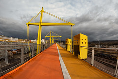
Industry - Photo of Villerupt
Industry

Dirty path near Bommelscheuer - Photo of Villerupt
Dirty path near Bommelscheuer

Bollard bypass - Photo of Villerupt
Bollard bypass

Industry in Bommelscheuer - Photo of Villerupt
Industry in Bommelscheuer

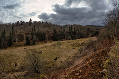
Lalléngerbierg Gaalgebierg RedRock MTB trail - Photo of Villerupt
Lalléngerbierg Gaalgebierg RedRock MTB trail

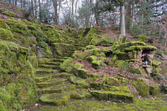
Memorial - Photo of Villerupt
Memorial

Multilingual warning board - Photo of Villerupt
Multilingual warning board

Lalléngerbierg Gaalgebierg RedRock MTB trail - Photo of Villerupt
Lalléngerbierg Gaalgebierg RedRock MTB trail

Lalléngerbierg Gaalgebierg RedRock MTB trail - Photo of Villerupt
Lalléngerbierg Gaalgebierg RedRock MTB trail

Lalléngerbierg Gaalgebierg RedRock MTB trail - Photo of Villerupt
Lalléngerbierg Gaalgebierg RedRock MTB trail

Poor Pluto - Photo of Villerupt
Poor Pluto

Belvaux Differdange MTB Trail - Photo of Villerupt
Belvaux Differdange MTB Trail

You are the Universe artwork - Photo of Villerupt
You are the Universe artwork

Sheep in Pontpierre - Photo of Villerupt
Sheep in Pontpierre


Villerupt from the sky


Old photos of the city of Villerupt

These photos taken near the city of Villerupt can be shown in full screen clicking on the thumbnails. Photos are copyrighted by their owners.


Other maps, hotels and towns in france


Find another town, zip code, department, region, ...


Quick links Villerupt :


Back to the menus Map of France :


Make a link to this page of Villerupt with the following code :


Map of France | Regions | Departments | Cities | Partners | Terms | Contact